Bear Lakes Basin w/ Mt. Julius Caesar— John Muir Wilderness — July 2025
Granite Park to Italy Pass, up Julius Caesar, then over Dancing Bear Pass into Bear Lakes Basin under Seven Gables.
Before I go any further, this trip was one of — if not THEE most — impressive hike from a “views” perspective that I have ever done. Every single day had at least one section that reached “mindblowing” on the beauty scale which would be a destination in and of themselves. With this being said, this report is going to be heavy on the photos and videos because there is just no way words can articulate the scale, colors, textures, and beauty of these places.
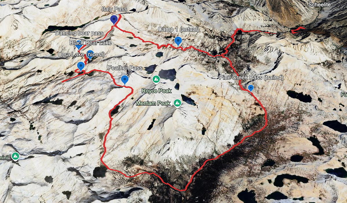
For the uninitiated, Bear Lakes Basin is a popular off-trail basin that has gained notoriety as a favorite on the Sierra High Route. It’s situated in the John Muir Wilderness about 15 or so miles from the Pine Creek Pass Trailhead and is mostly accessed either by Italy Pass or by a few other Class 2/3 passes nearby. Given all of the passes into and out of the area, there are many loops that can be attempted. Because we had 4 days and were bringing Atlas along, our loop consisted of entering via Italy Pass and then exiting via Pine Cree Pass. 4 days felt like the perfect amount for this loop, but as always, more is always better. A 5th day could have been used to either camp out in the upper Merriam region or to camp in the upper French Valley region exploring some of the nooks and crannies there.
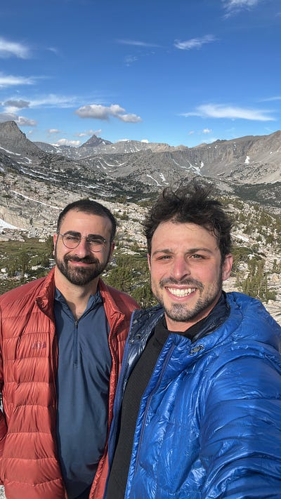
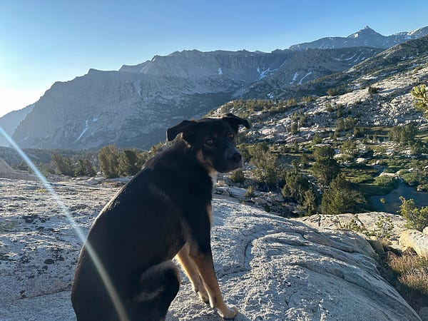
I did this hike with one of my best friends, Arash, who hadn’t backpacked since our 2018 hike. It would also be my first hike with my dog Atlas, whose mom was a bit nervous but loves nothing more than being outdoor and is a very athletic pup. There were numerous dogs on the trail and I had read many trip reports about bringing dogs into the region, but I have mixed feelings about it. Thankfully, Atlas is very athletic with strong hind-legs and excellent stamina. However, for dogs that are older or may have issues with their hips, this hike is likely too much climbing for them and i can further into detail about this later in the report.
Weather: We had a decent bit of wind the first night and the second day but after that it turned into a breeze. Clouds came in the first afternoon but outside of that we were extremely blessed with tons of sun. At elevation the wind would make for some cold day-time hiking, but it never lasted too long.
Mosquitoes: A little bit on the way up to Granite Park. Then nothing until Merriam Lake. Pretty bad at Merriam Lake and the region just below.
Day 1: Pine Creek Trailhead to Granite Park
Arash, Atlas, and I slept in Bishop and after a quick breakfast at Schatts we were at the trailhead and hiking by 730ish. Atlas is prone to overheating so we wanted to climb the 2500 feet to Pine Lake before the heat started. The switchbacks from the trailhead to Pine Lake are never-ending and extremely exposed and there’s no way Atlas was going to make it up there (more on this on the last day) anytime after 10am. I didn’t notice until going down but i blacked a lot of this climb out bc although it offers decent views down valley and the tungsten mine is pretty cool, it’s rather bland set of switchbacks and a lot of the rock requires focus as to not miss a step.
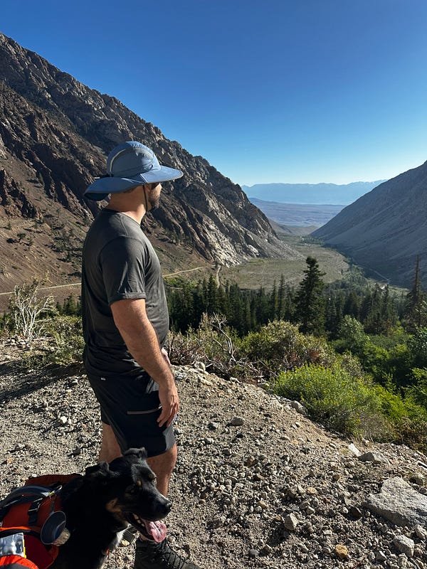
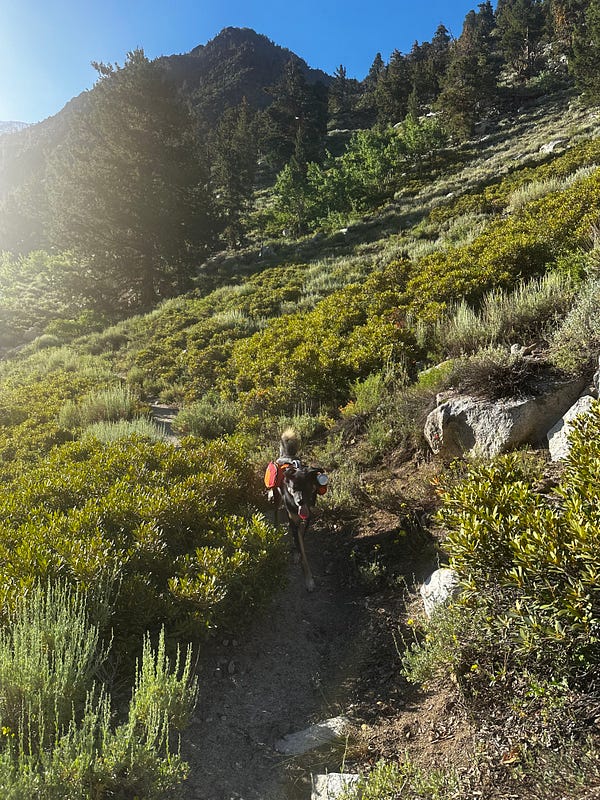
No memory of these switchbacks at all but they took a few hours. Doing them in the morning is 100x better for humans, and absolutely required with a pup
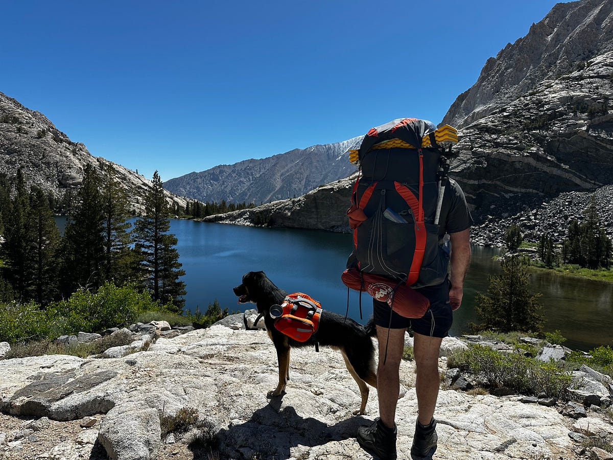
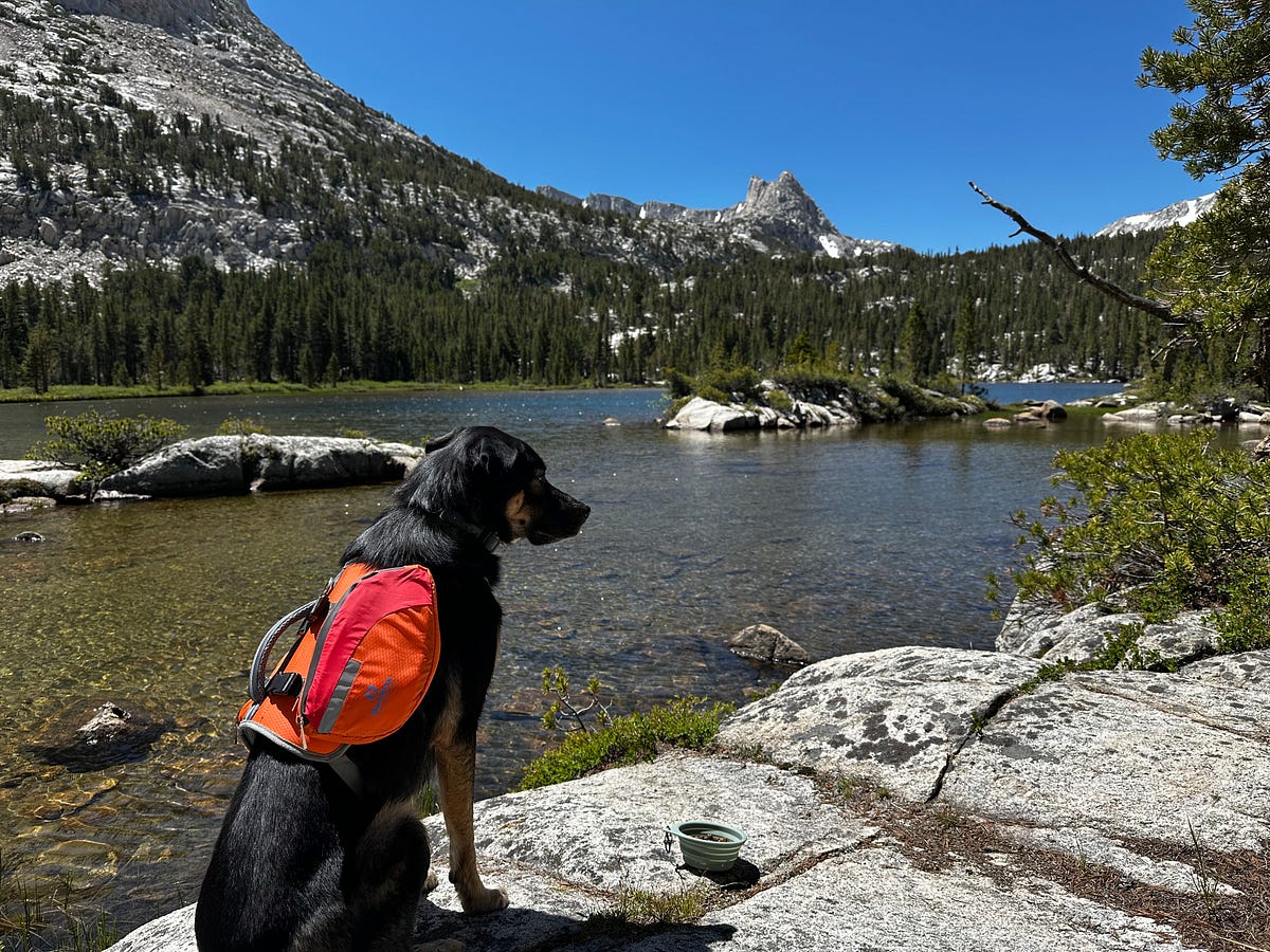
We took this part slow and steady to not tire and by 10am we were taking a snack break on the shores of Pine Lake. This would be the first of many breaks for this day…taking it very easy so we could get our mountain legs under us and I could observe Atlas closely to see how he was doing with all the climbing. We relaxed by the shore for a while before pushing onto Upper Pine Lake which we made it to around 11:15am where we settled in for a long lunch. Arash and I setup the chairs while Atlas got the zoomies and then we cooked up a tuna and cheese tortilla.
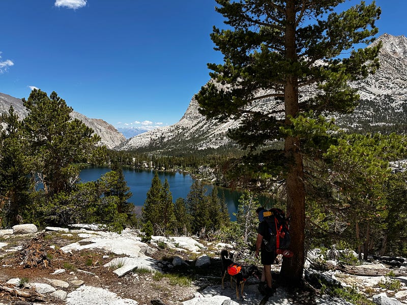
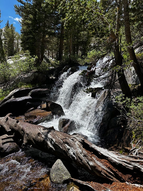
(left) Honeymoon Lake from the north end (right) Pine Creek gushing
We pressed on after lunch and by 12:50 we were at Honeymoon Lake. I really started enjoying the trail once we got to Honeymoon Lake as Pine Creek meanders through small waterfalls and tranquil meadows interspersed with brown and grey boulders and wildflowers. Its around here that the granite walls start to close in around the trail, with the ridge that leads to Bear Creek Spire to our right and the passes into the Royce Lakes region to our left. As I have mentioned over and over in this blog, this 10,000ft to 11,000ft altitude band in the High Sierra is the sweet spot throughout the range with grass still on the trail, granite throughout, Whitebark & Foxtail Pines spaced out and never too tall, wildflower carpets, waterfalls, and gurgling streams everywhere. On a sunny day at this elevation, I can’t think of a better place to hike in the world.
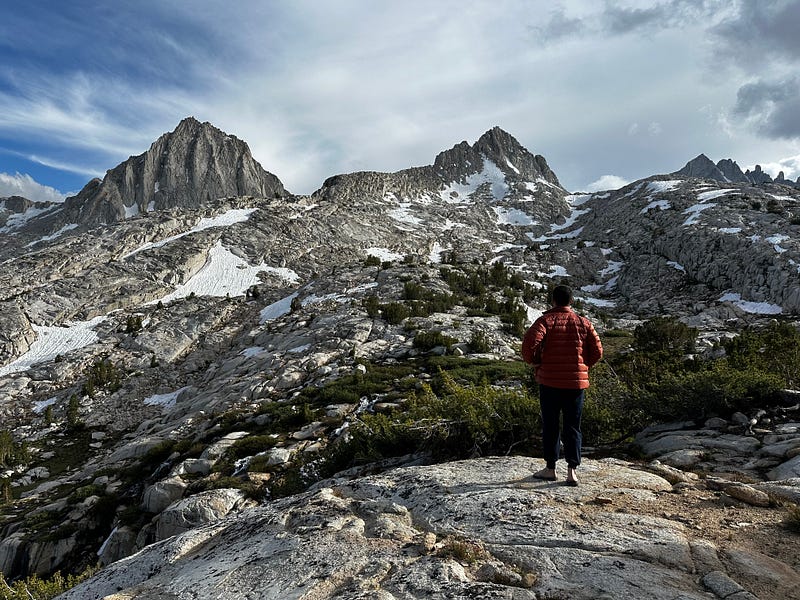
This day was focused around getting to and exploring Granite Park, which I was told was a destination in and of itself by many friends and trip reports. By about 1:30 we started to approach the lower Granite Park region and I could start to see why this area is held in such high regard. The canyon walls open up around you and you get visibility into the really cool microterrain that creates tons of granite nooks and crannies to explore. The name “Granite Park” is extremely fitting too, as it truly is a huge basin made entirely of exposed granite has many mini-ridges separating a number of cirques and small lakes. From the views, to the colors, massive fields of granite interspersed by carpets of grass and wildflowers, the trail got better and better. The rest of this day consisted of finding an A++ campsite with a fantastic view looking down into lower Granite Park and a view of Humphreys deep in the distance. Our day was done relatively early, but we had clocked 7.25 miles and 4000 feet of climbing which was enough for Arash and Atlas and the thought of relaxing and enjoy a dip in the creek sounded better than pushing on. I’m going to let the photos and videos do most of the talking for Granite Park below. What a beautiful place that I absolutely intend on returning to.
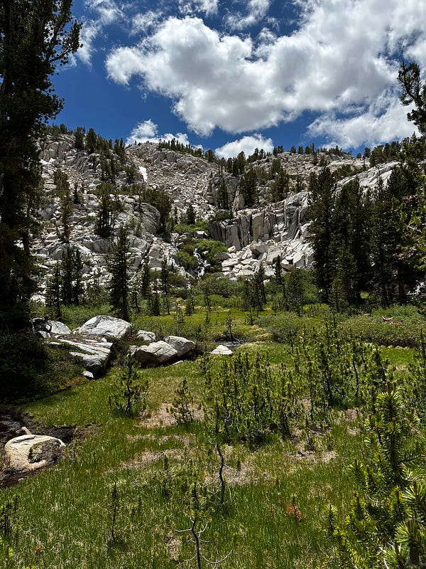
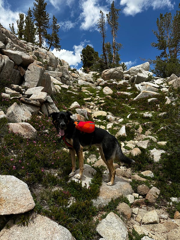
Lower Granite Park
A++ campsite
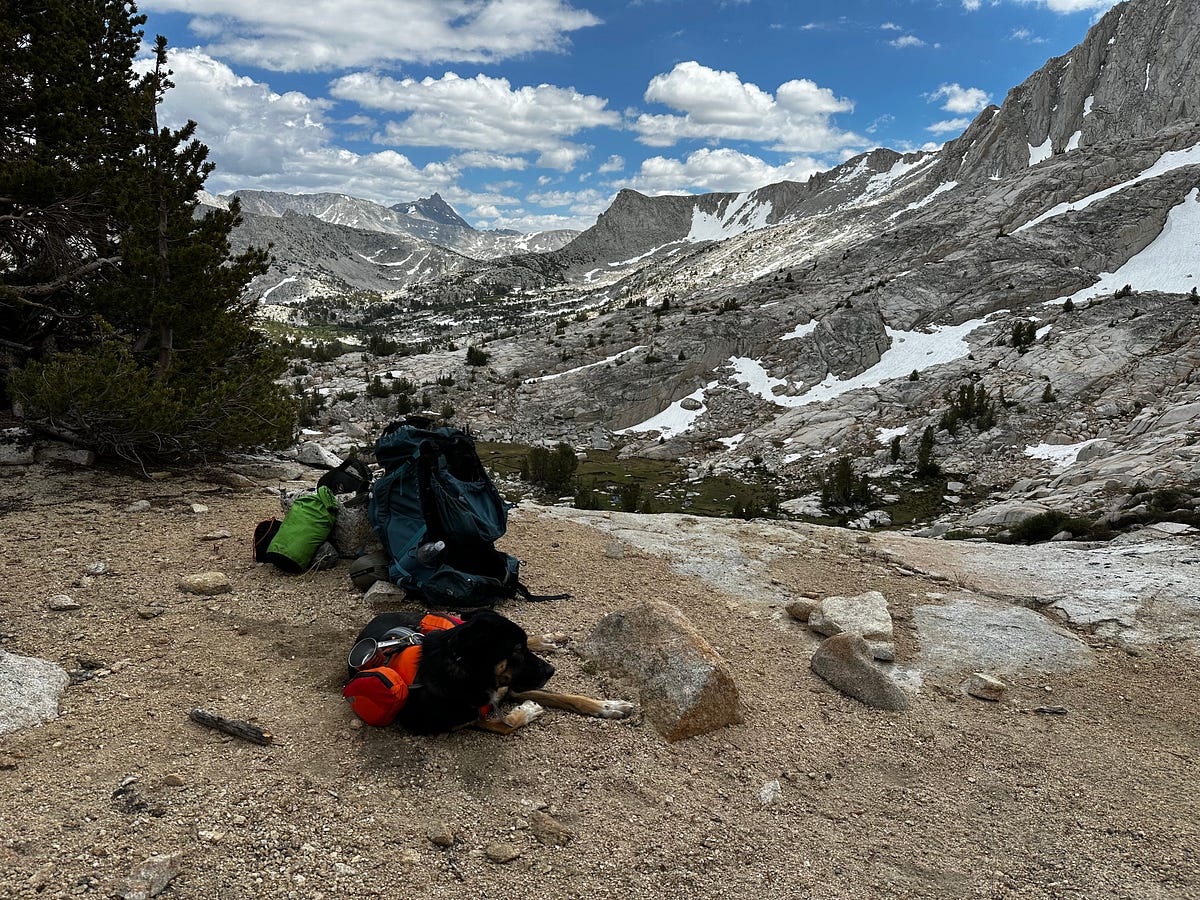
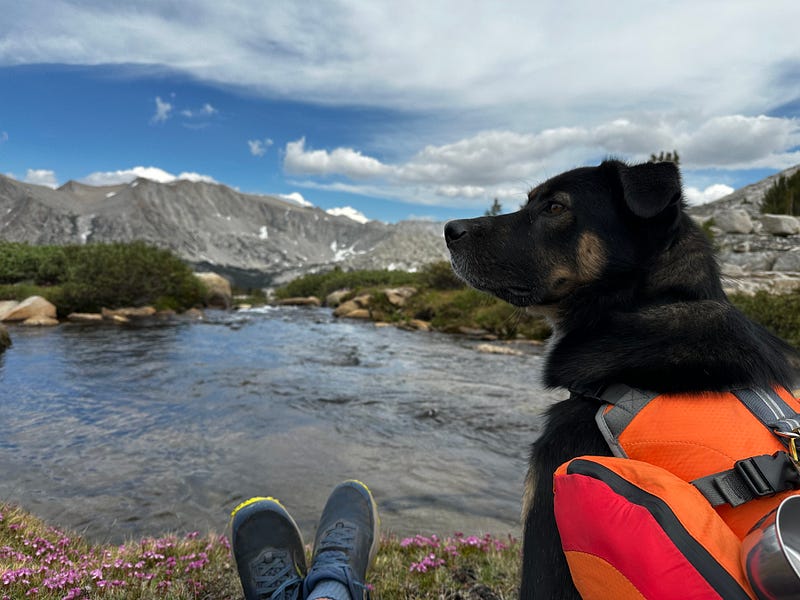
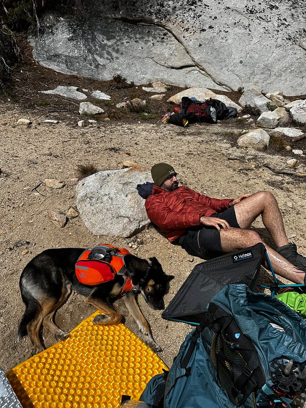
Relaxing at our A++ campsite in Granite Park with Atlas
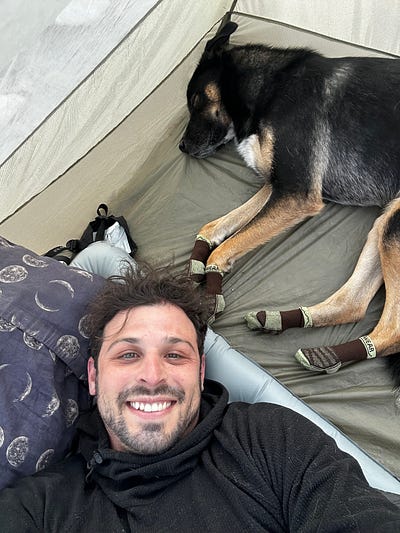
Camp life and granite scenery at Granite Park
Day 2: Granite Park to Bear Lakes Basin (Ursa Lake), with a stop at Mt. Julius Caesar
Gosh, this day was absolutely beautiful. Lots of photos in this section.
Given our concern for Atlas’s ability to hike in the middle of the day, we were committed to 5:30am wake up calls so that we could be on the trail by 7:30ish and put in a good amount of miles prior to the mid-day sun. More importantly, Arash and I did some reconnaissance the prior afternoon and evening and took good looks at both Granite Park Pass and Granite Bear Pass and came to the conclusion that there was too much snow at too steep of a pitch to confidently take Atlas on it, especially in the early morning. Even though it would be longer and less scenic, we felt that entering Bear Lakes Basin via Italy Pass and Dancing Bear Pass was the best risk-adjusted decision and so we made our way from camp starting around 7:45am. The hike to Italy Pass is a further exploration of Granite Park and even though it became a bit more austere the higher we got, Arash and I both really enjoyed this section of small lakes and patches of grass. The trail becomes faint as it gets closer to the pass but it is never too difficult to follow and Italy Pass is a very noticeable saddle in the ridge line. Outside of a few boulder patches, the walk to the summit was over smooth granite which could not have been easier. I fretted over Arash’s pace a little bit, but he was still getting his mountain legs and lungs going + it ended up being fine and we made it to the top of the pass around 930am and settled into a snack break.
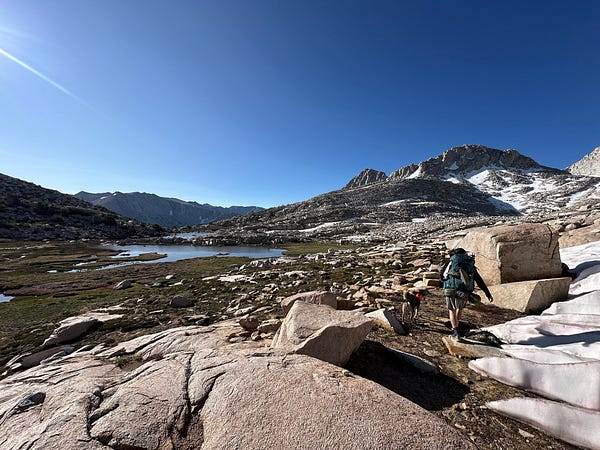
Early morning hiking through Granite Park on the way up to Italy Pass
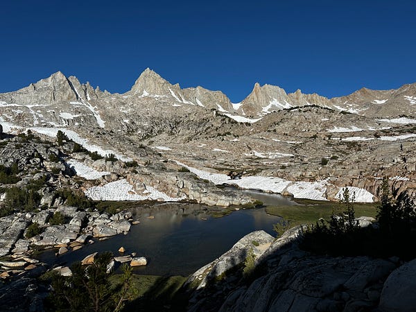
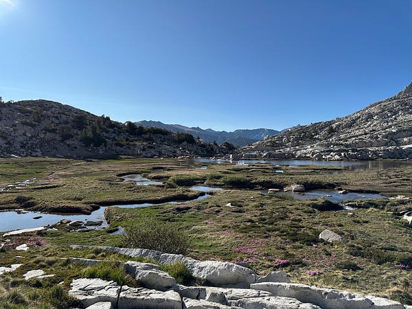
Views through Granite Park on the way to Italy Pass. In the bottom left photo you can see Granite Bear and Granite Park Pass
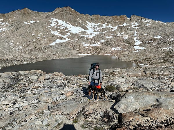
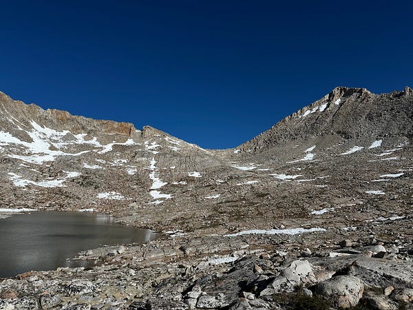
Hiking up to Italy Pass. The photo on the right is the view of Mt Julius Caesar from the top of Italy Pass
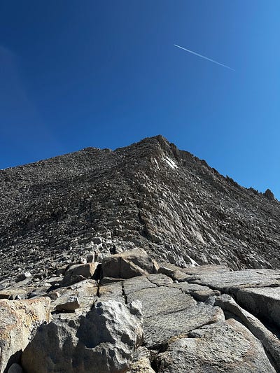
At the top of Italy Pass I gave Arash a hug to congratulate him on the completion of another cross-country pass and then dropped my pack to make the short jaunt up to Mt. Julius Caesar. From Italy Pass the way to the summit is pretty self-explanatory given the tracks of previous climbers. The climb starts with sandy gravel and then changes into cruddy and chopped up rock that I didn’t love. It then turns into truck-sized boulders, some of which were way too loose for comfort. All in all , it was an easy climb with almost no freaky exposure to speak of. The summit offers fantastic views of the entire drainage. Bear Creek Spire in one direction, Mt Humphreys in the other, and then deep in the distance is Seven Gables which was the direction we were headed towards. I love tracing my steps when I’m at a summit, but unfortunately I couldn’t stay too long. It was windy at the summit and I knew Arash and Atlas were getting pounded by the same wind so I didn’t stay up there for as long as I would have liked. I couldn’t find a summit register so I took some summit photos on Peakvisor (which is an incredible app) and then began my descent. From Italy Pass to the summit and back was about an hour and twenty minutes and I returned back to a refreshed Arash and Atlas. From here, where we pushed onto what would become likely the most troublesome part of the entire trip.
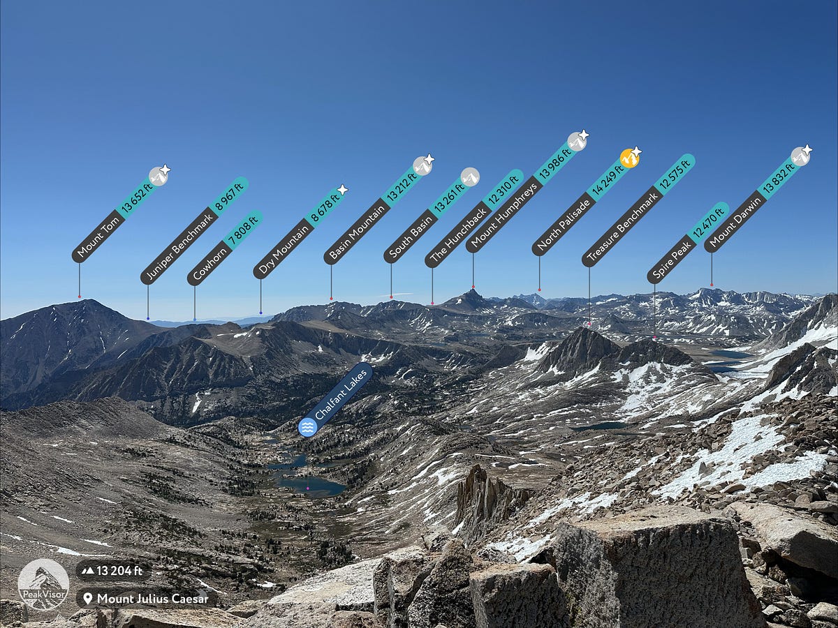
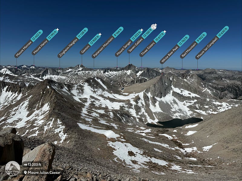
(Left) From the summit of Mt. Julius Caesar: Looking towards where we are headed. Jumble Lake on the right and Dancing Bear Pass in the center. This would be my first view of Seven Gables, which would tower over us for the next 24 hours
Peering over the other side of Italy Pass, one gets a view of Dancing Bear Pass which is the entry point into Bear Lakes Basin. Between Italy and Dancing Bear it is approximately 1.15m as the crow flies which isn’t really far at all. Sounds easy right? Well with my two hiking compatriots, this 1.15 miles would take us TWO FULL hours to complete, slogging through multiple patches of loose bounders and icy snow-patches. It was really the sun cups that made some of these sections tough. Although Arash labored through this section, i was more concerned for Atlas and his paws as some of the suncups were icy enough to slice him if he hit it at the wrong angle. Moreover, the sheer size of the sun cups — 2 to 4ft! — made for a lot of jumping which i worried would wear on his hind legs. It was a hot and tedious boulder mess. We took many breaks and then finally made it to the saddle that is Dancing Bear Pass where I gave Arash a congratulatory hug for completing another pass and then we, at last, got to peer over into Bear Lakes Basin with White Bear Lake in the foreground and the massive and dark Seven Gables in the background.
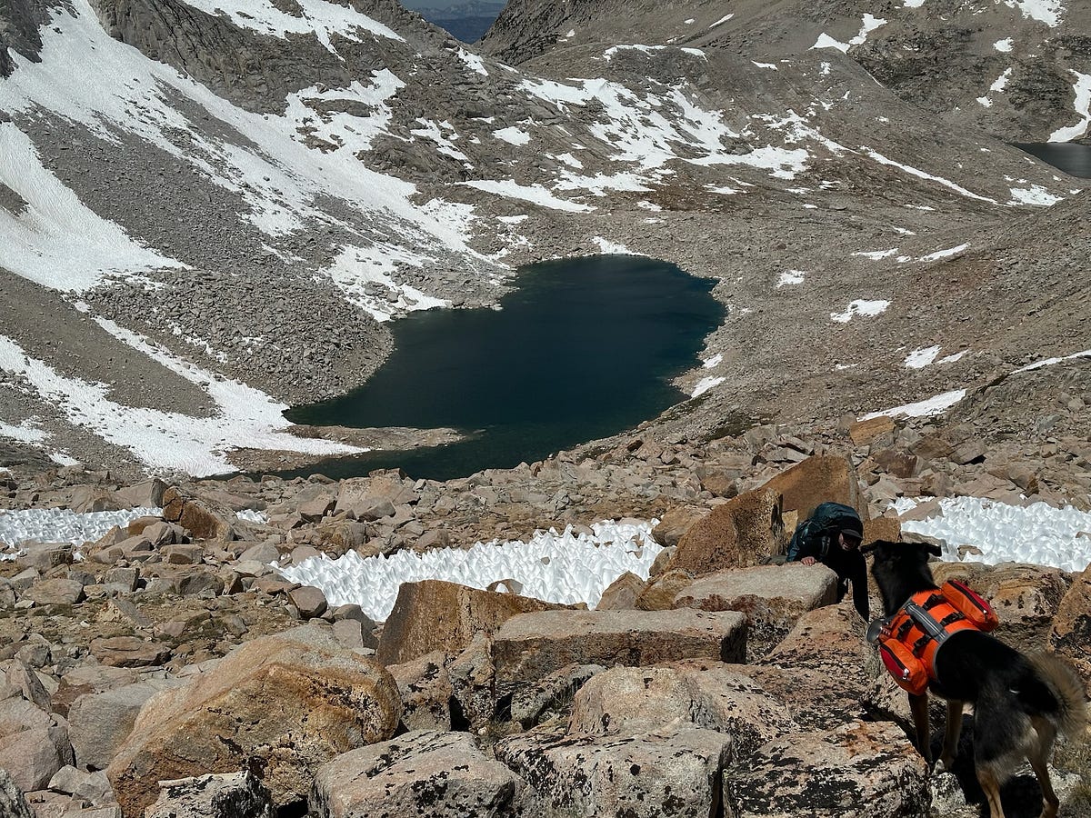
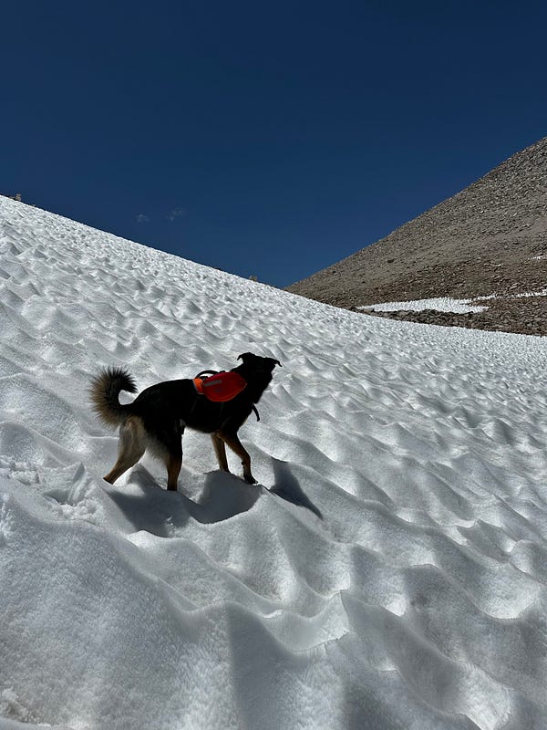
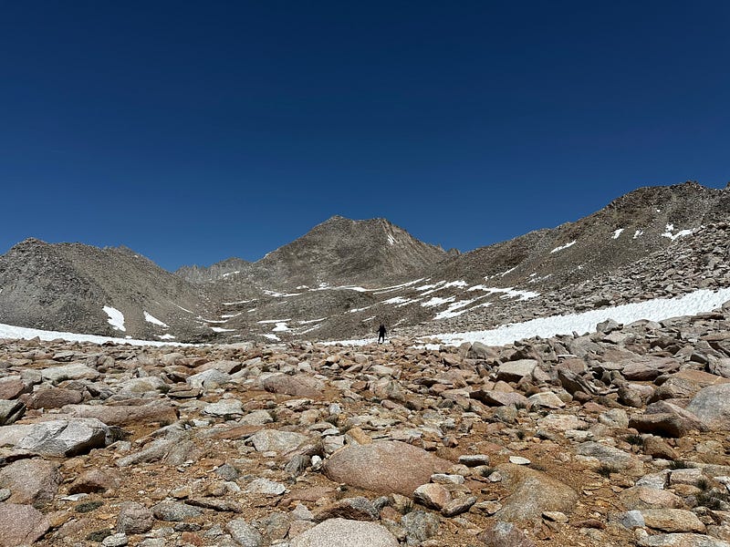
Both Atlas and Arash making the final push to Dancing Bear Pass. A section that everyone was thrilled to be over with
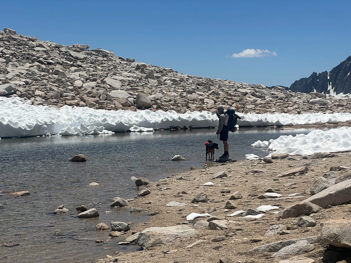
View from Dancing Bear Pass into Bear Lakes Basin
Up to this point it was not 100% certain that we were going to do the entire loop through Merriam Lake and Pine Creek Pass, but after this particular section, we were now committed…going back was not an option. Both Arash and I weren’t particularly keen on going out the way we came and it was also becoming evident that Atlas was managing the trail just fine.
By this point, it was time for a nap so we cruised down to the gorgeous Black Bear Lake where we planned to eat some lunch and crash out for about an hour. We hiked through the micro-terrain and passed some small tarns and it was immediately clear that we were in a special place. The hills made of brown boulders reminded us of an alpine version of Joshua Tree with crystal clear lakes everywhere. It really is remarkable how many different ecosystems there are in the Sierra and even though there were no trees, we were shocked at the beauty. The brown colored microterrain with its huge boulder mountains and ridges connecting all these little patches of snow, grass, creeks, lakes, and wildflowers surrounded by huuuuge peaks in every direction. Truly special…
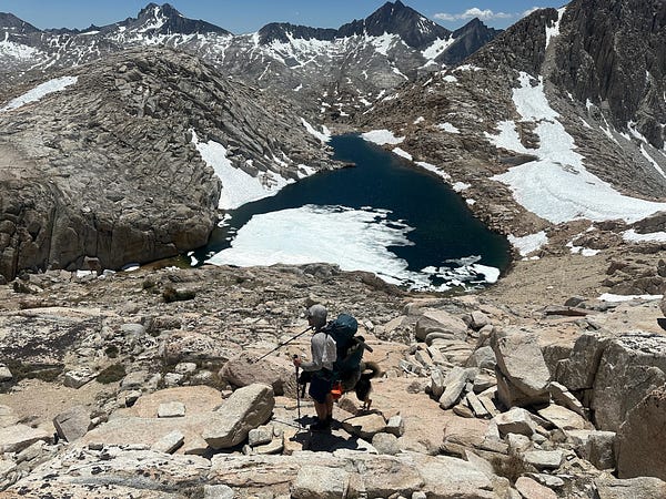
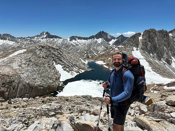
Descending down Dancing Bear Lake, with White Bear Lake and Seven Gables in the distance
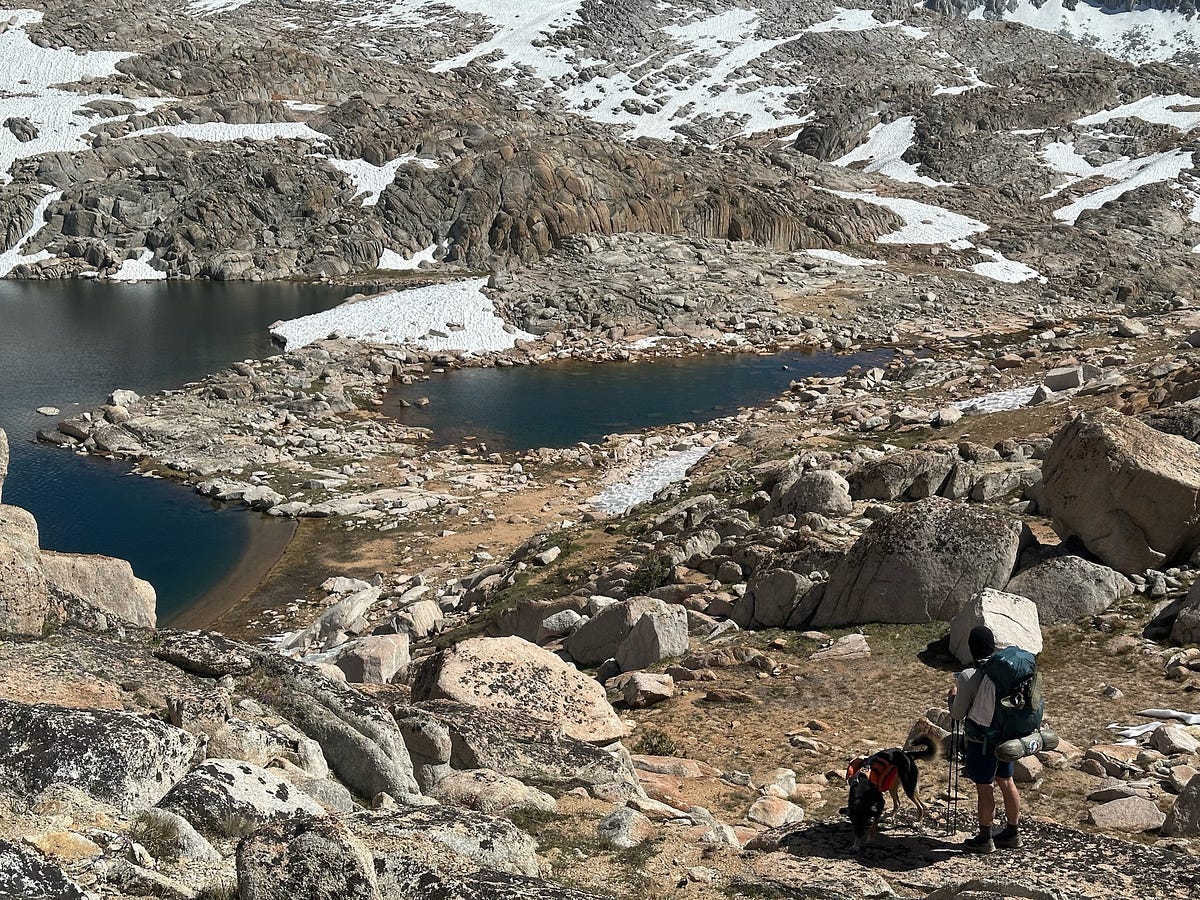
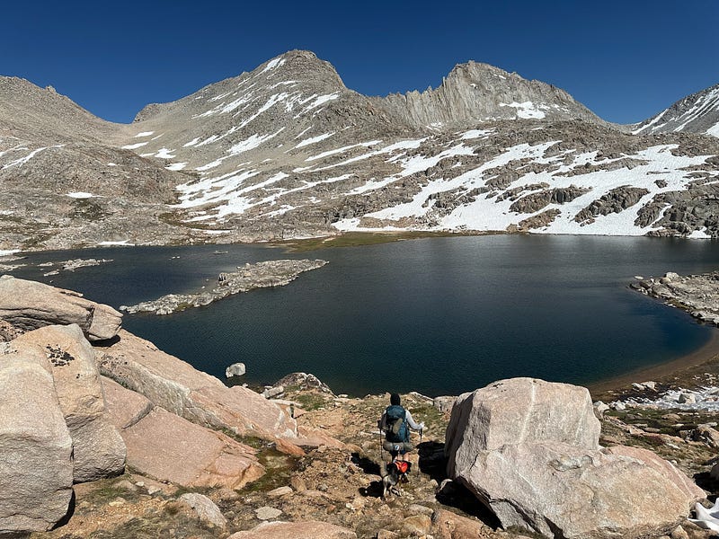
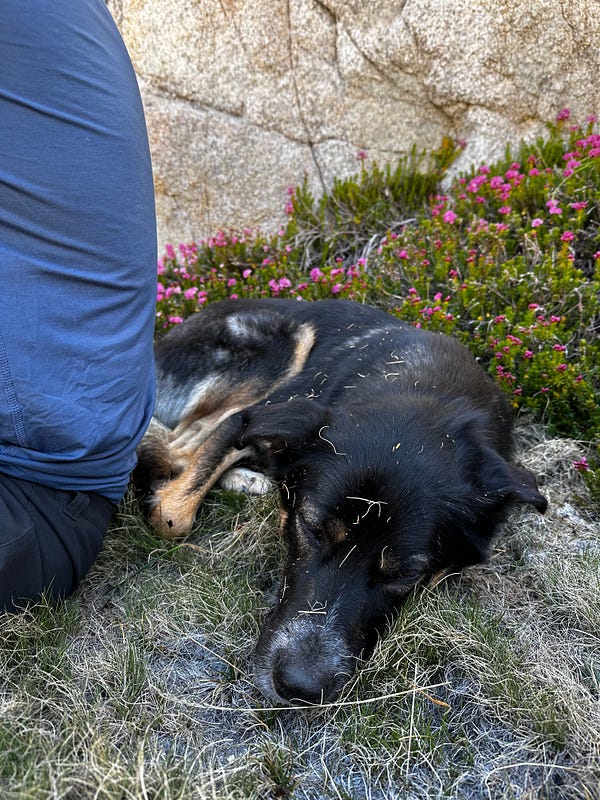
Enjoying the mini adventure as well as the nap at Black Bear Lake
After our lunch break and nap we meandered through this wonderland of boulders towards Big Bear Lake and Ursa Lake, which I had noted from previous trip reports as one of the more scenic lakes in the region. Once we got to Ursa Lake, with it’s huge walls, view of Seven Gables, and proximity to Feather Pass, we figured that this would be the perfect place to setup camp.
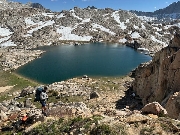
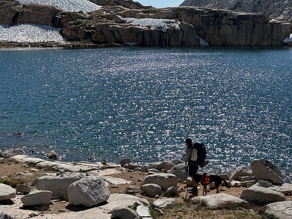
(Left) Ursa Lake from up top and (right) Ursa Lake from the shore
After setting our packs down and relaxing for a bit, we pressed on for a short side-quest to continue exploring the basin and, more importantly, get a view of Vee Lake & Seven Gables. I was told by a friend that the view of Vee Lake from high up is the one that needs to be seen while out here. Although we were tired, it was absolutely worth the extra few miles or so as this view ended up being one of our favorite views of the entire trip. Honestly, it was one of those spiritual moments in the backcountry where the fatigue and ego fade and you get a real appreciation for the area and for your body for having made it to such a beautiful place. Arash and I admired the view for a couple of minutes in silence, soaking it all in.
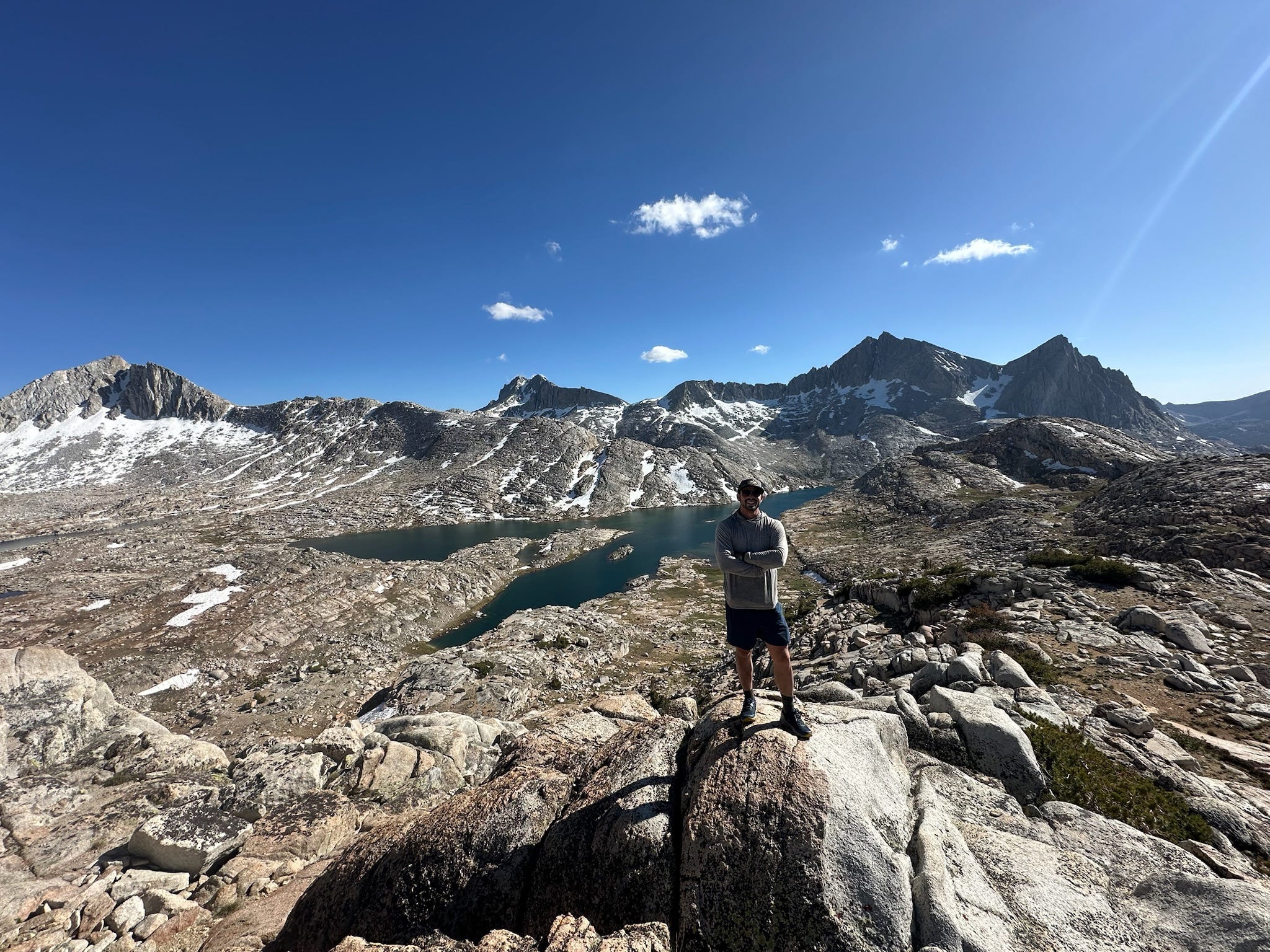
Vee Lake
The rest of this day consisted of lounging around, bathing off in Ursa Lake, and watching the sun set behind the mountains. I’ll let the photos and videos do the work here because I don’t think i’ll be able to describe the view as well as my iPhone can.
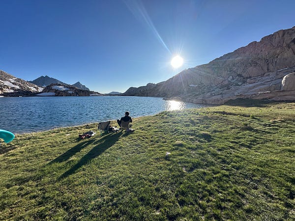
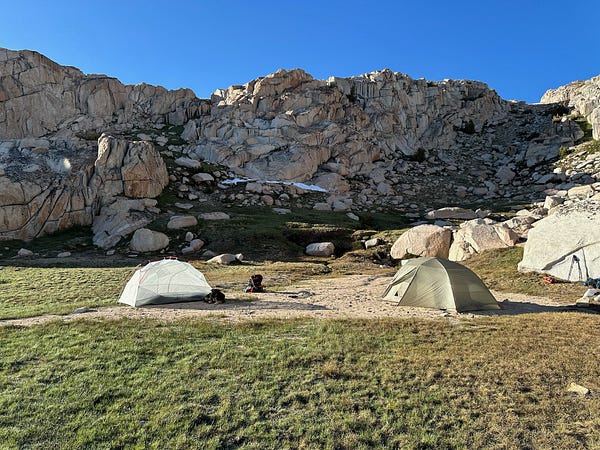
Evening at our camp on Ursa Lake in Bear Lakes Basin
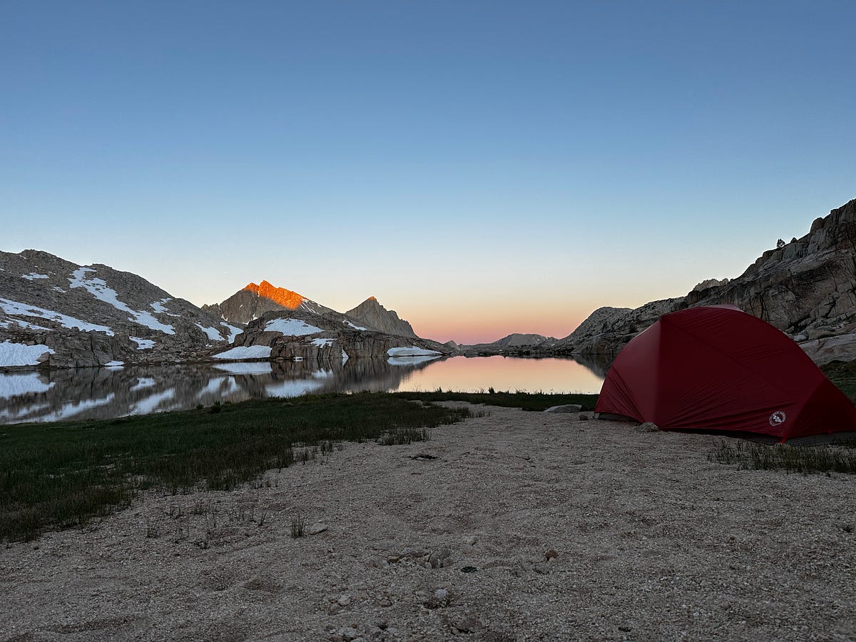
Day 3: Ursa Lake to just past Merriam Lake
Arash and I were both up early and had a pretty funny moment where we were having a small fight about me rushing Arash too quickly and asking him to put wet boots on. You can picture us screaming at eachother at an absolutely stunning alpine lake at 7am. After we finished and hugged it out, we turn and notice that there is a tent maybe 15 yards from where we were fighting. Completely embarrassed at this, we ran away towards Feather Pass.
The section between Ursa Lake and Bear Paw lake was magnificent in the early morning sun
After this kerfuffle, we were on the trail at about 7:45am and were on our way up towards Feather Pass. For the most part, Feather Pass is a very easy ramp. We encountered some patches of snow here and there, but nothing major until the last 100–150 feet of the pass. Arash’s legs and lungs were getting stronger so we made decent time. At about 9:45am we reached the last snow patch that featured some very large sun cups and was also a bit steep. From there, we would then reach the granite top which featured a few Class 2 moves before reaching the summit. We needed to shoot for the far side of the snow patch so that we could get to a boulder that we could hoist Atlas on to as the others would have been too tall for us to lift him up to. Although a bit scared, Atlas did well on this steeper patch of snow and although he really got scared when we had to make a few hoists, he ended up happy and tail wagging by the time we reached the top which was about 10:25am.
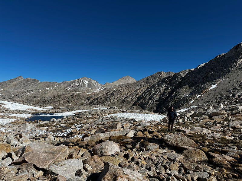
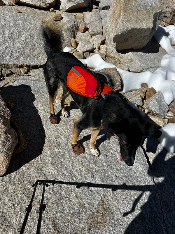
The boulder-and-snow section between Ursa Lake and Feather Pass, Atlas in his DogMocs
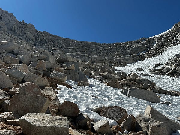
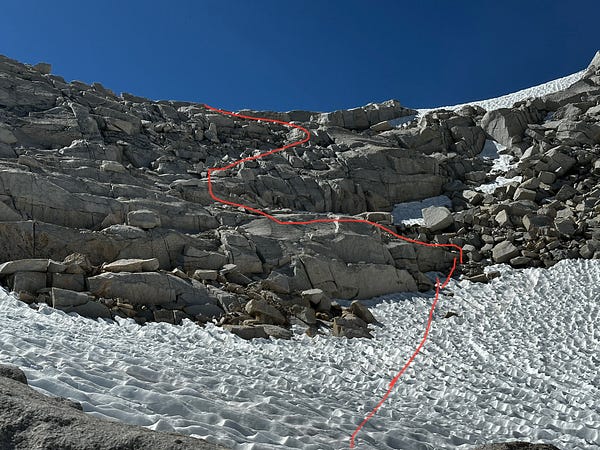
Top left: Arash making his way up Feather Pass. The photo is looking down towards where we came from. Top right: The snow had made tiny cuts in Atlas’ right paws so we decided to put the DogMocs on him so they wouldn’t get any worse. Bottom left: Looking up at Feather Pass. Bottom right: our chosen route which may have not been the shortest or most direct but involved the least amount of hoisting for Atlas, which is by far his least favorite activity
Top of Feather Pass
Given the Class 2 moves that we had just completed, Atlas and Arash were thrilled to be off the pass and we were soon enough descending down the other (south) side to La Salle Lake. Getting down from the pass is as easy and gradual Class 1 ramp, but as you approach the lake, it becomes a bit tricky. We ended up taking a steep way down to the lake which involved a few Class 2 moves that, once again, scared Atlas due having to be hoisted down. However, this allowed us to get to the shore where we then did the tedious walk along the north rim of the lake which was fine, but it was a full on boulder mess which is decently difficult for dogs and mentally taxing for humans. In retrospect, instead of going down to the shore, we should have stayed to the left of the inlet which keeps you high above the lake for a bit but then gently provides a ramp down to the bottom and to the outlet.
Descending Feather Pass
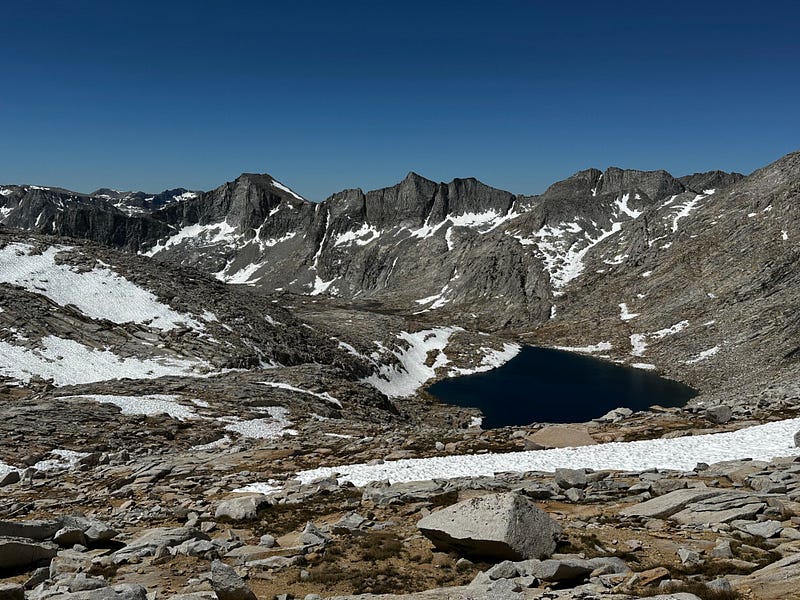
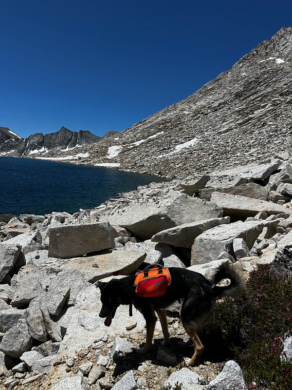
Left: Looking down from Feather Pass. Right: Atlas, after a decent bit of dramatics due to a few Class 2 hoist moves, happy to be down at the shore of La Salle Lake
At any rate, we were finally by the La Salle Lake outlet somewhere around 1pm where we found a small slice of shade for all of us to lay down and have some lunch. After about an hour or so we continued on towards what would be another one of our favorite sections of the hike.
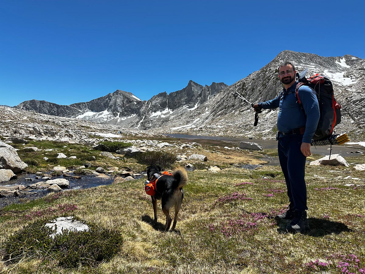
There is approximately 1–1.5 miles along the outlet of La Salle Lake prior to the steep downclimb to Merriam Lake and it’s a huge, gorgeous glacially carved canyon with no trees but tons of grass, wildflowers, granite, and big views. This outlet of La Salle Lake that flows into Merriam Lake meanders around and the sheer size of the canyon mixed with the colors and the wildflowers made for some truly epic hiking. You then get to the section where it starts to steeply descend to Merriam Lake and there are some incredible swimming holes with waterfalls and places to lay out. In hindsight, we should have stayed and enjoyed our afternoon here for longer but we were itching to get closer to our camp.
Upper Merriam Lake area/La Salle Lake outlet. Absolutely beautiful
Merriam Lake immediately becomes visible as you start to descend and it really is beautiful. Another place that could be a destination totally on it’s own. It is a quintessential — but huge — alpine lake that backs right up to a steep ridge that towers 1500 feet above the lake. Of all things to see on July 4th weekend, while we were descending we saw a BALD EAGLE take flight and sore above the lake, heading to it’s nest up in the rocks. What a moment.
Descending to Merriam Lake
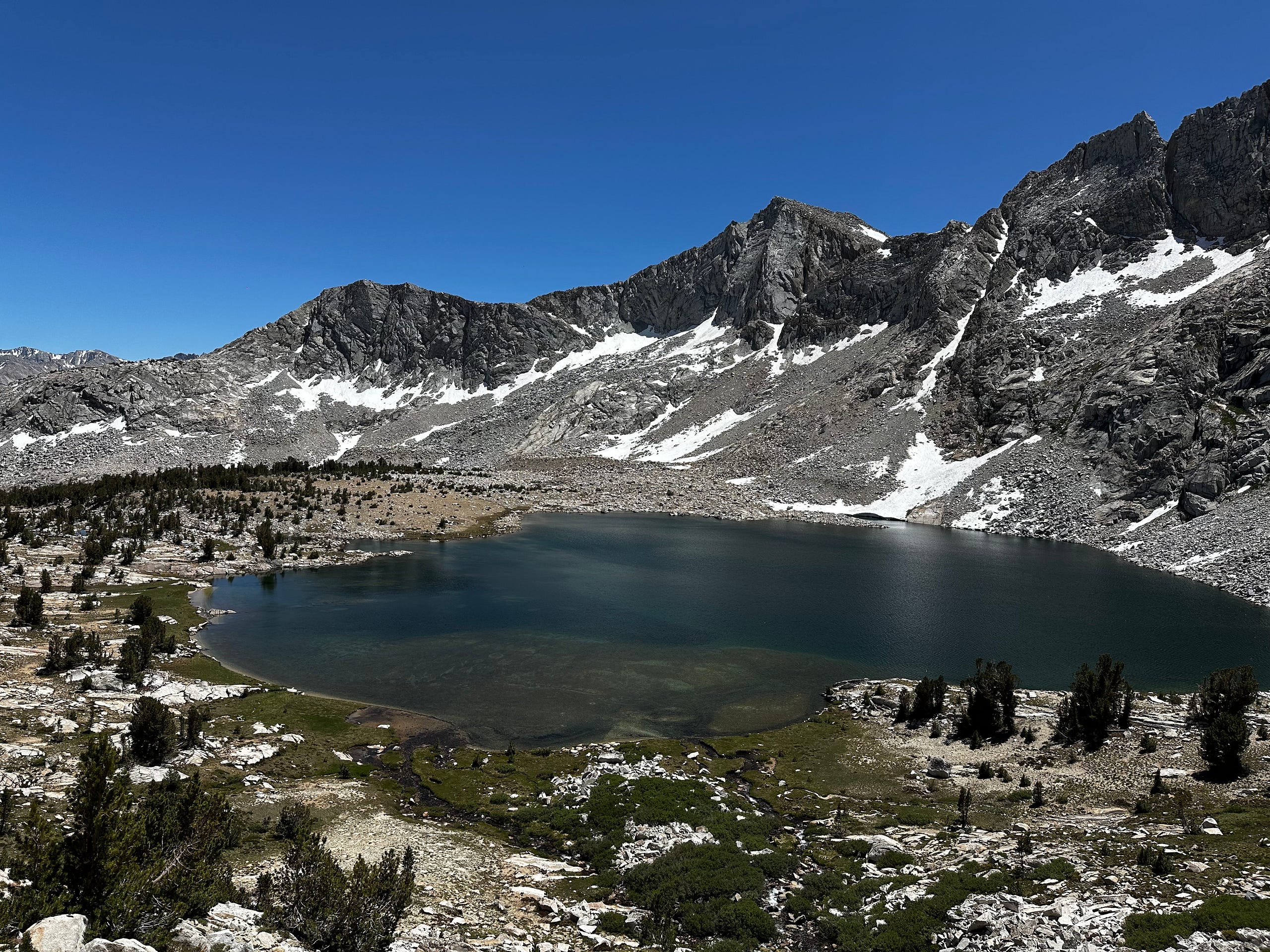
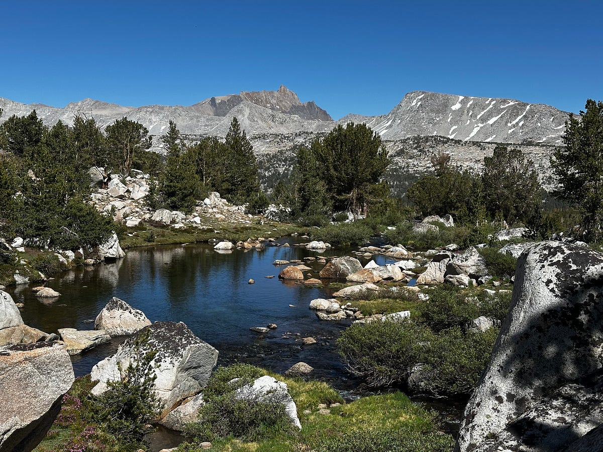
The downside of descending down to Merriam Lake was the beginning of our battle with the mosquitoes. We hadn’t had any skeeter issues during the hike at all, but anywhere we stopped either at Merriam Lake or below, we were swarmed. It created some frustration between Arash and I because we were tired and regretful that we didnt just spend the time up above Lake Merriam where there were no skeeters. Plus, Atlas likes to try and eat them because he thinks he is being attacked. Although it was still pretty early in the day, we ended up just finding a spot to camp above a mile or so below the lake with a view down into the meadow where we could put my tent up and hang out inside without all of the bugs bothering us. We hung out for a bit, took a bath, made some dinner, cleaned Atlas’s paws, and then passed out very early so we could get up at 5am before the skeeters were up.
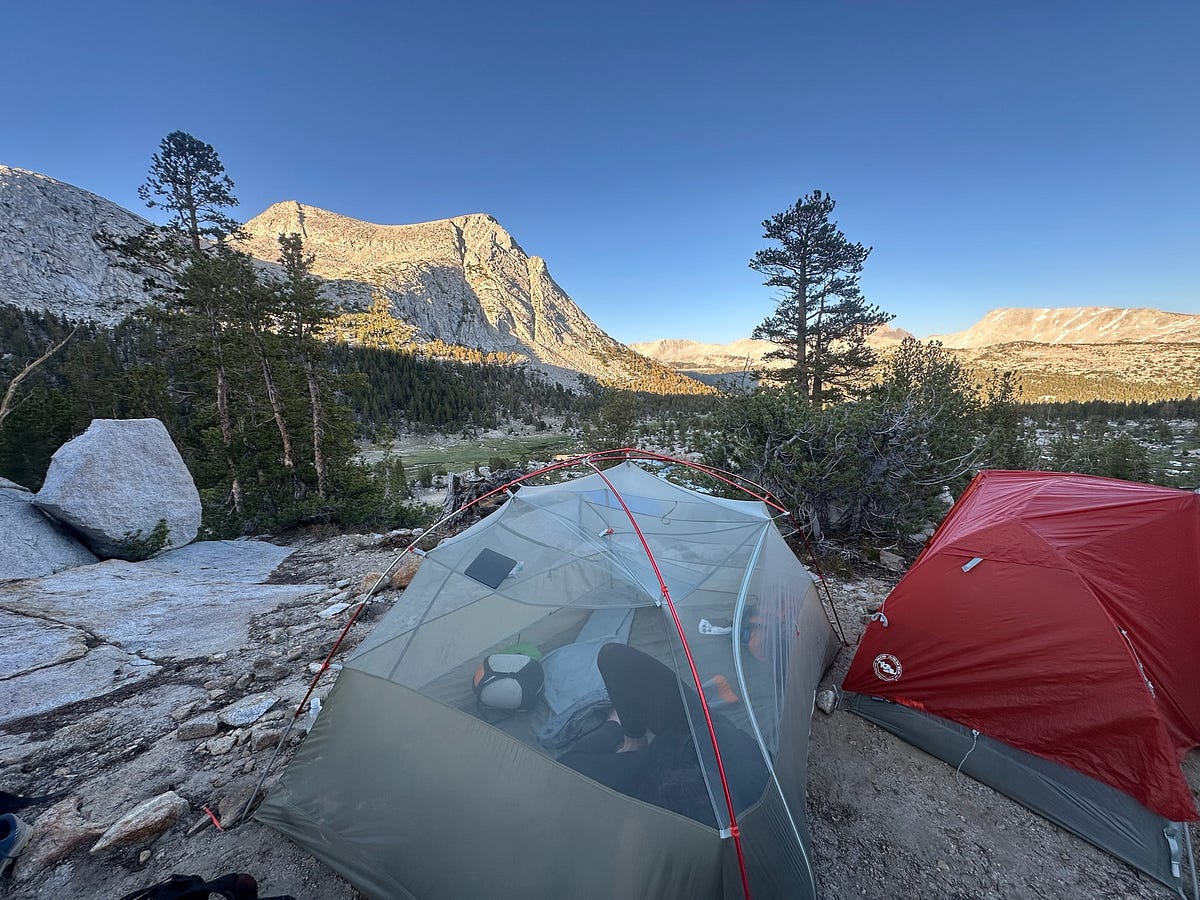
Day 4: Just past Merriam Lake back to the Trailhead via French Canyon
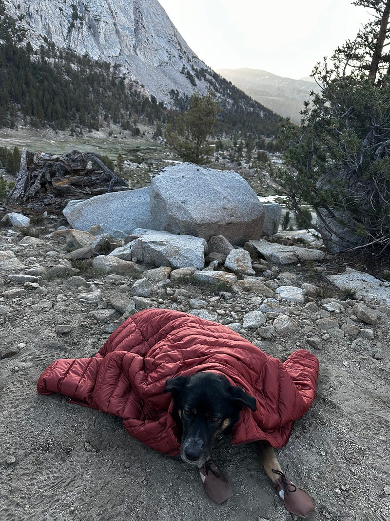
We knew there was hot food at the end of todays hike AND we were also motivated to get up and on the trail before the skeeters woke up so we were up and out by about 6:45am. Moreover, although fully on-trail, this would be out longest day in terms of mileage and I was a bit worried about Atlas getting tired and/or hot towards the end.
Given that we were back on a trail, we were eating miles and making great pace. The Merriam Lake trail was very easy for us to follow and is visibile to the left of the outlet for the most part. By 7:15am or so, we were at the junction between the Merriam Lake trail and the French Canyon Trail. We knew that we had about 12.5ish miles in total for the day or so we were trying to make keep the pace even because 1) we wanted some Copper Top BBQ but more importantly 2) we were conserned about the decent to the car in the afternoon heat with Atlas given how hot we knew it was going to be and how exposed it was. It’s a shame though because it would have been great to sink our teeth into this sectoin give it’s beauty.
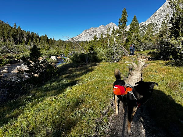
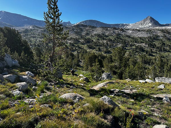
Beautiful trail hiking through French Canyon toward Pine Creek Pass
It was immediately clear that this section of French Valley towards Pine Creek Pass was going to be beautiful and Arash and I gawked at what looked like a fairy tale land for the next few hours. Short Whitebark Pines, boulders, grass, and wildflowers with the sound of French Creek next to us…it was all absolutely delightful and Arash, Atlas, and I were beaming. In my research, I really hadn’t read much about this section but it ended up being somewhere I would absolutely return to. Again, I’m going to let the photos and videos do most of the talking here.
The whole section as we approached Pine Creek Pass was A++ hiking. The weather was perfect and views kept getting better and better. Coming from French Valley, the ascent towards the top of the pass is very gradual so it didn’t feel like a slog like our previous pass attempts. Once at the top, you arrive at a small tarn that is surrounded by gross, boulders and pockets of trees. Again, we all certainly wish we could have been more time here
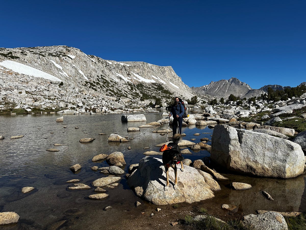
We spent the rest of the morning descending back to the car which was beautiful yet uneventful except for the last 3 miles which were very hard on Atlas. The last 3.5 miles or so is — like on the way up — nothing but exposed switchbacks and given that it as 11am it was starting to get too hot for him. As we got close and it got hotter and hotter, we had to stop every 10 minutes or so to let him cool off and thankfully we were able to fill up water at a few times so we could douse him a bit.
All in all, we made it back to the car and immediately zoomed to Copper Top BBQ as is typically done after a backpacking trip. Afterwards on the car ride home, Arash and I spent some time discussing one particular part of backpacking that is near and dear to both of us and I wanted to share it here. Its commonly said that when going into the backcountry, one has a sense of “feeling small,” yet what does that really mean? It’s something I talk and think about frequently. When you are in the backcountry, the focus is solely on the beauty around us and task in front of us, which is walking and navigating. But more importantly, when we are out there, our egos melt away because the mountains, the energy, the people…no one cares about who you were, who you are, or who you are going to be. It doesn’t care about what you’ve done in life — good or bad — it just “is”. Nature takes you as you are and passes no judgement, allowing your mind to relax because you never have to deal with being “seen”. Obviously, there are many reasons why I love to backpack, but this one really hit home. Hopefully this lesson makes it to someone who could use it.