Mt. Wallace — Sabrina Basin — October 2026
One last warm window in October: Lake Sabrina to the summit of Mt. Wallace — 19 miles, 6,300 feet, and the final send of the season.
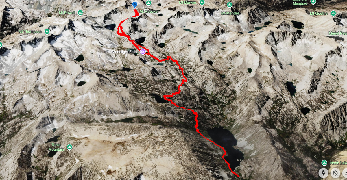
Route: Lake Sabrina → Blue Lake → Dingleberry → Sailor Lake → Mt. Wallace, returning via Hungry Packer Lake · 19 miles · 6,300' of gain · dayhike · late October
Mt. Wallace (13,377') is one of the Evolution peaks along the Sierra Crest, up the beautiful drainage of the Middle Fork of Bishop Creek out of Lake Sabrina. I organized this jaunt last minute, inspired by an unusually warm weather window in late October that I felt compelled to take advantage of. It's not the most popular peak, with only a few trip reports available online, and I imagine this is because it's overshadowed by a few other popular and striking peaks in the area and along the ridge: Thompson, Haeckel, and Darwin. Haeckel is the more popular peak directly next to it and the more picturesque of the two, and its popularity is due to the multitude of climbing routes to the summit. My initial plan was to try and summit both, but this ended up being unrealistic as I spent too much time exploring the basin at large. I wasn't too concerned, as I expect to be visiting this area for the rest of my life (most likely next year on a group trip that I am planning).
Lake Sabrina to Blue Lake
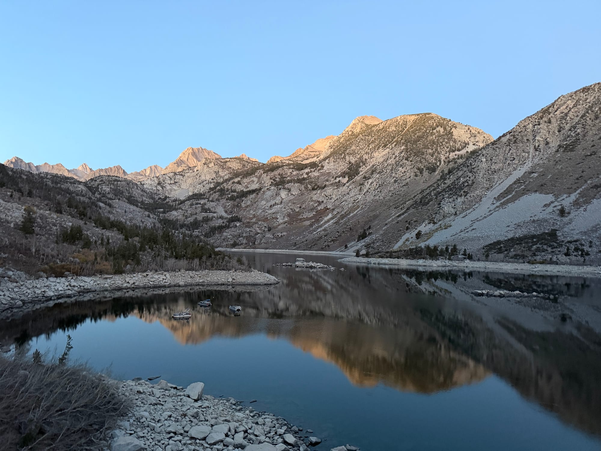
Summiting anything out here typically requires at least one night, but I had the bright idea of trying to make it up and back in a day, testing out my new ultramarathon pack: the Hyperlite Pemi 15. I started my journey at Four Jeffrey Campground so I could be close to the trailhead. After an early sleep and rise, I was on the trail at 6:30am, beginning my ascent as dawn broke. Lake Sabrina sits in a beautiful basin, but the trail up and out of said basin is nothing to write home about (this is probably because it was basically dark on the way in and the way out). It meanders 1,200 feet over the course of three miles up to Blue Lake before it starts to feel like the high country. Outside of the views of the Piute Crags, I wasn't really focused on much beyond gaining elevation and staying warm.
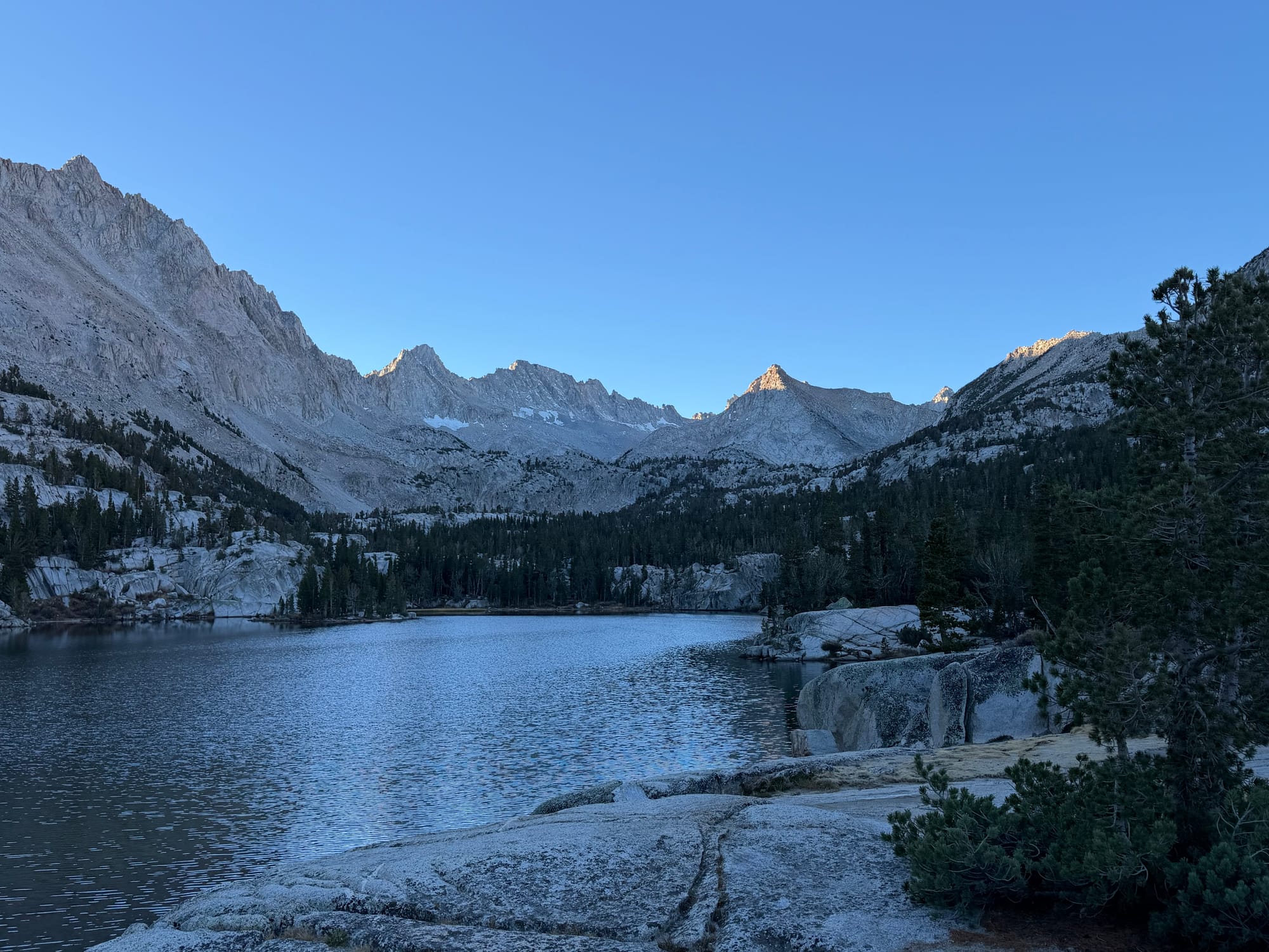
I made it to Blue Lake at 7:45am, cruising at a great pace and stoked to be up in the high country. Blue Lake is very scenic, but it wasn't really shining as the sun was still behind the ridgeline. Regardless, it's got numerous campsites and sits right below the Thompson Ridge, and with so many destinations nearby, I imagine this is a place I will be returning to (maybe with kids).
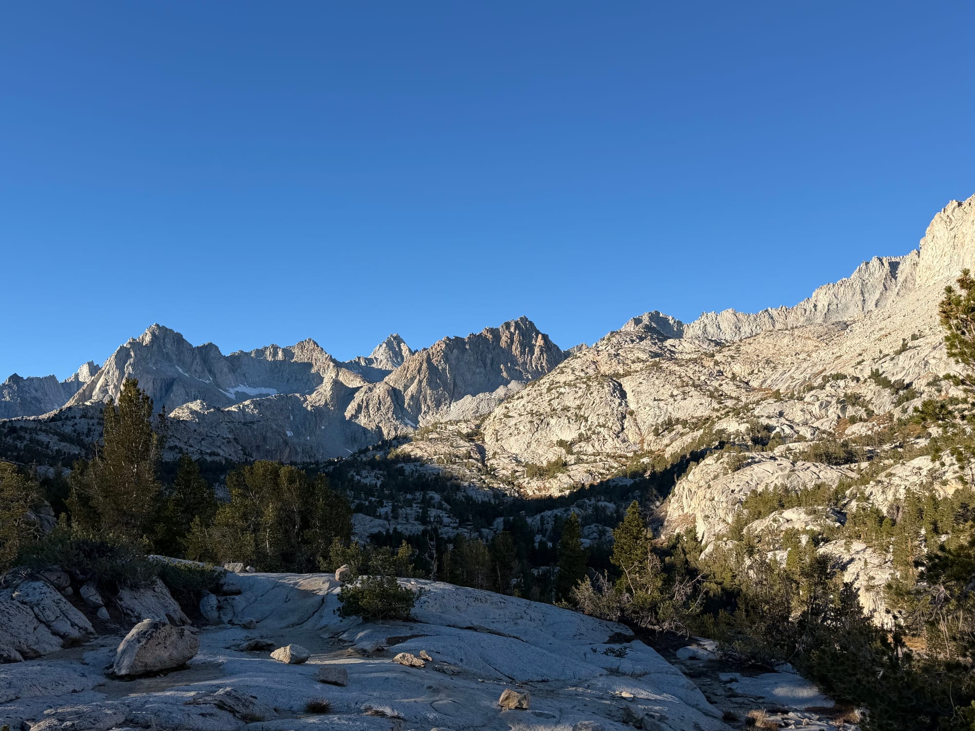
The trail hits a junction here, with one branch leading to Donkey Lake, the Baboon Lakes, and eventually Mt. Thompson. This is not the branch I took, but I certainly plan to check that area out, and hopefully I can bring Atlas along with me since it's dog friendly.
Into the high country: Dingleberry, Topsy Turvy, and Sailor Lake
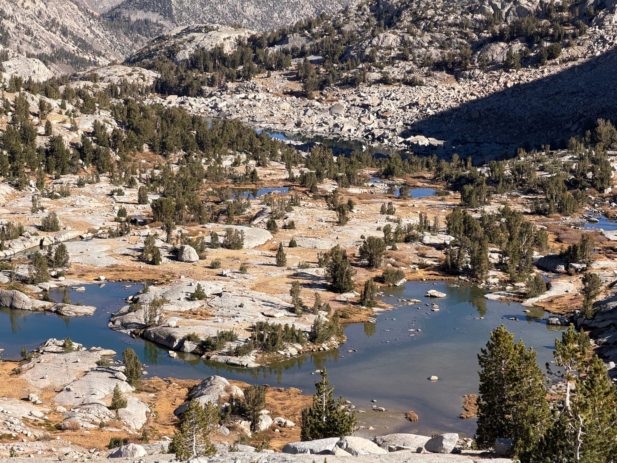
After 8am I'm now basking in the morning sun, and over the next hour I'm blessed by a string of beautiful alpine lakes: Dingleberry, Topsy Turvy, and finally Sailor Lake. At about Dingleberry Lake I was presented with my first big view of my destination, with a great look at Haeckel, Wallace, and Picture Peak.
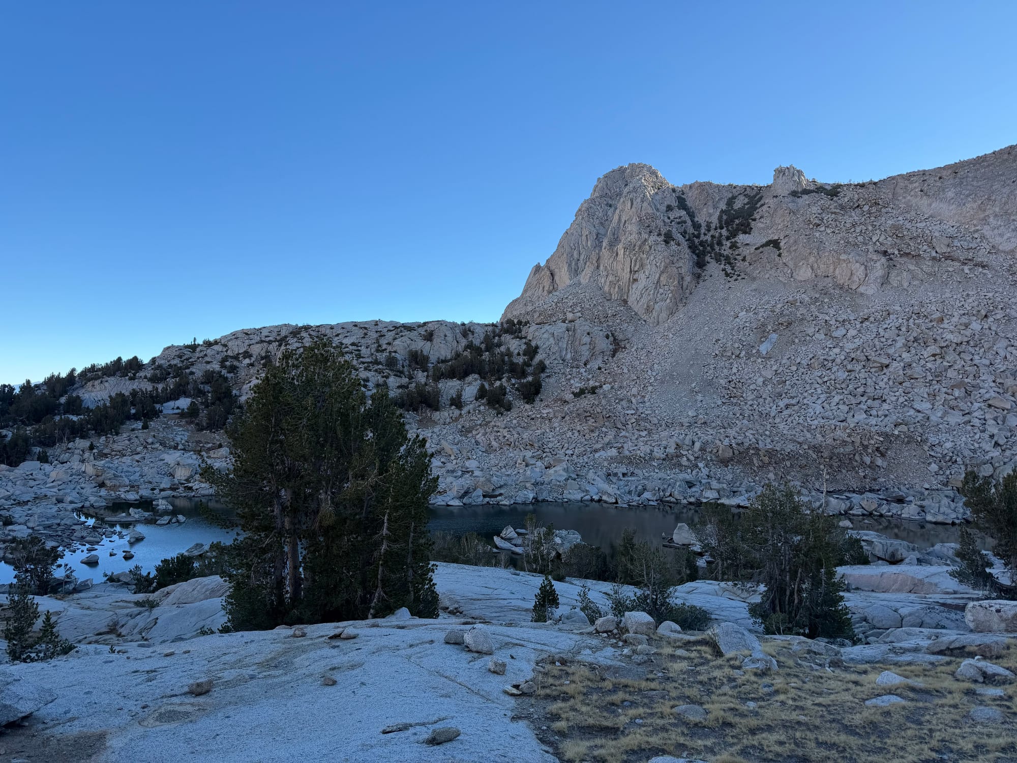
I'm planning a group trip next year and plan to basecamp out of Sailor Lake, so I spent 30ish minutes checking out the shoreline, counting out tent spots, and visualizing our layout.
The climb to Mt. Wallace
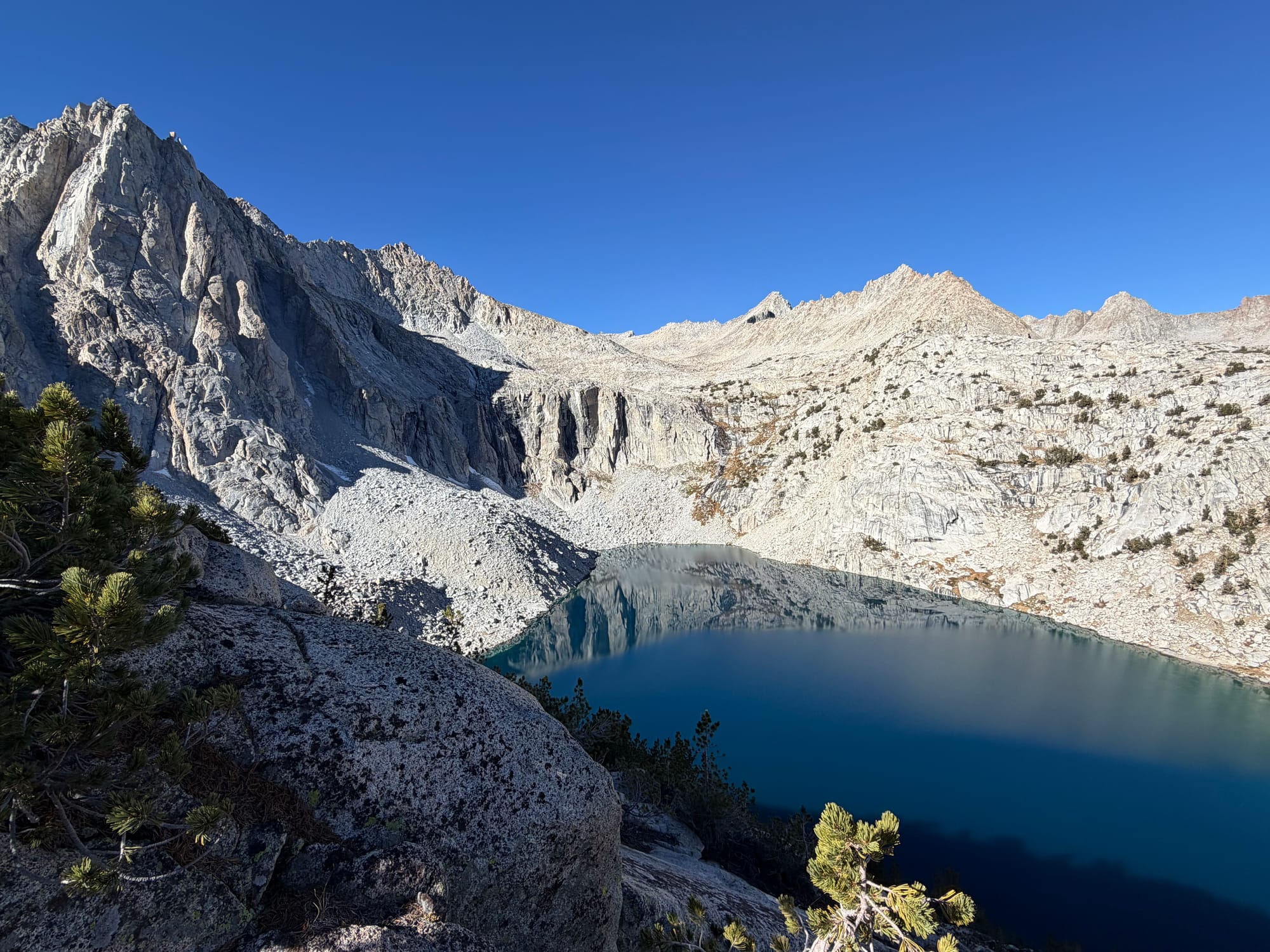
At this point I left the trail in the direction of Moonlight Lake, trying to gain elevation via the ridge that separates Moonlight and Hungry Packer. It was steady climbing with views down into Hungry Packer along the ridge, but then it turns into stretches of boulder hopping that seemed to never end. A mistake I should point out in my navigation: I should have started up the ridge from the center of it and then walked along the top, riding those contour lines, as I believe it would have led to less boulder hopping and a generally easier ascent.
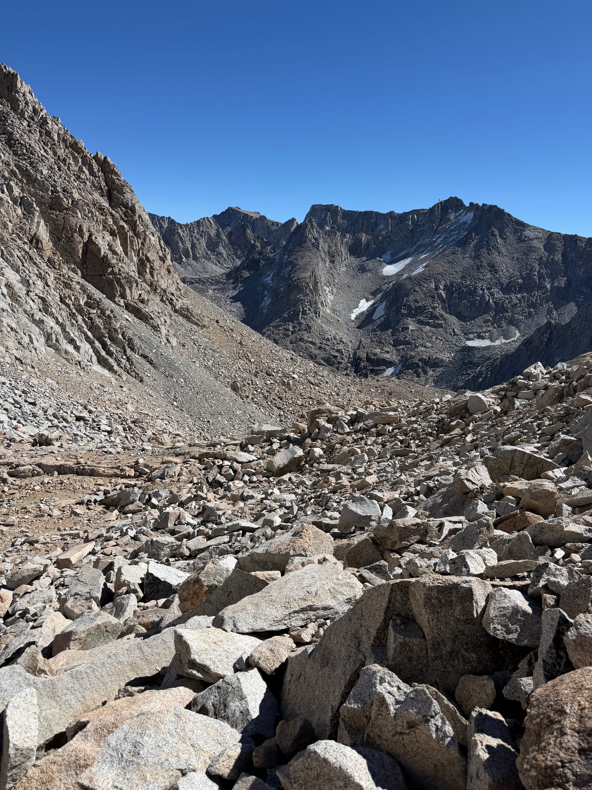
I then found myself in the little basin on the backside of Picture Peak, and I intended to follow the contour lines around to the north face so I would have a slightly easier climb, but I got so frustrated with the boulder hopping that I just said screw it and climbed the northeast face (ridge?) up to the summit block.
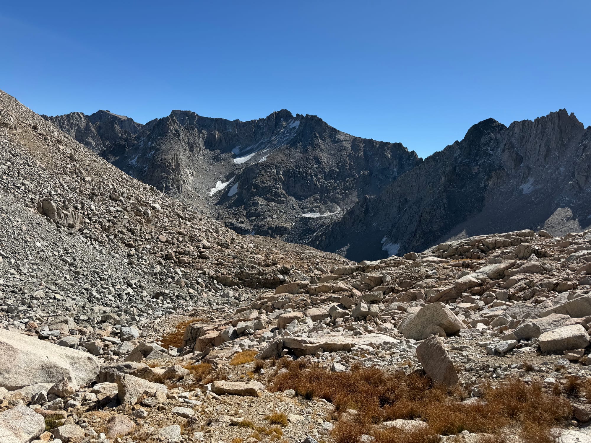
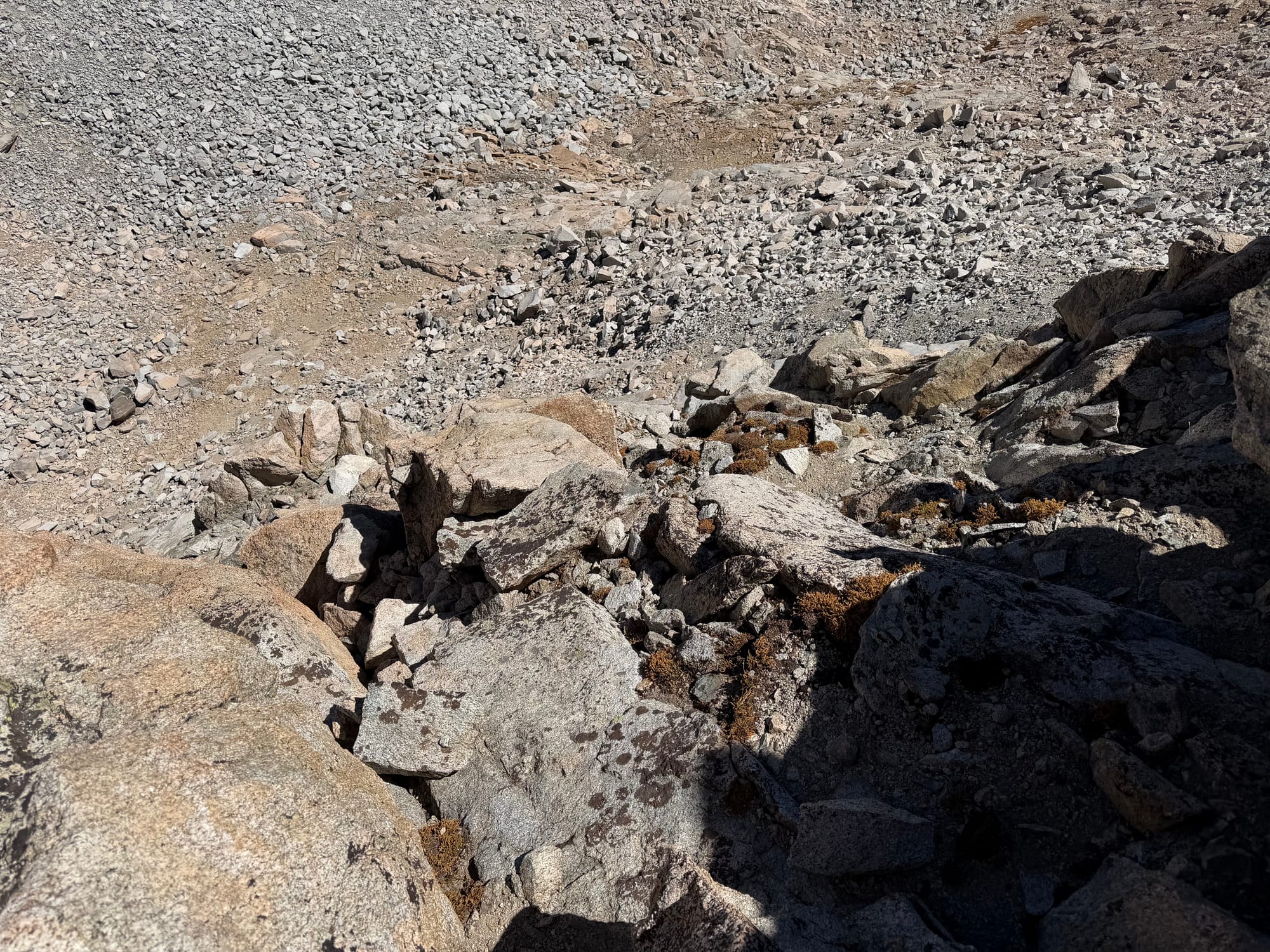
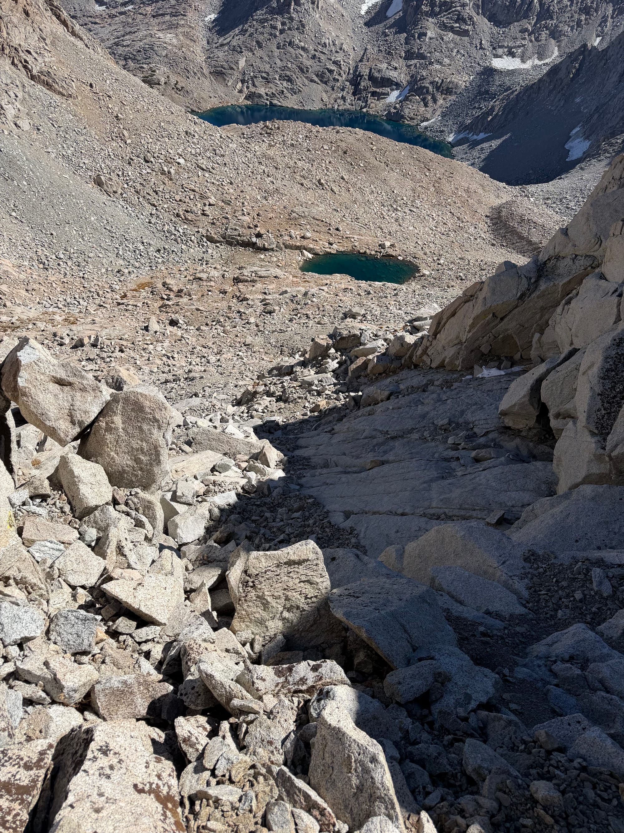
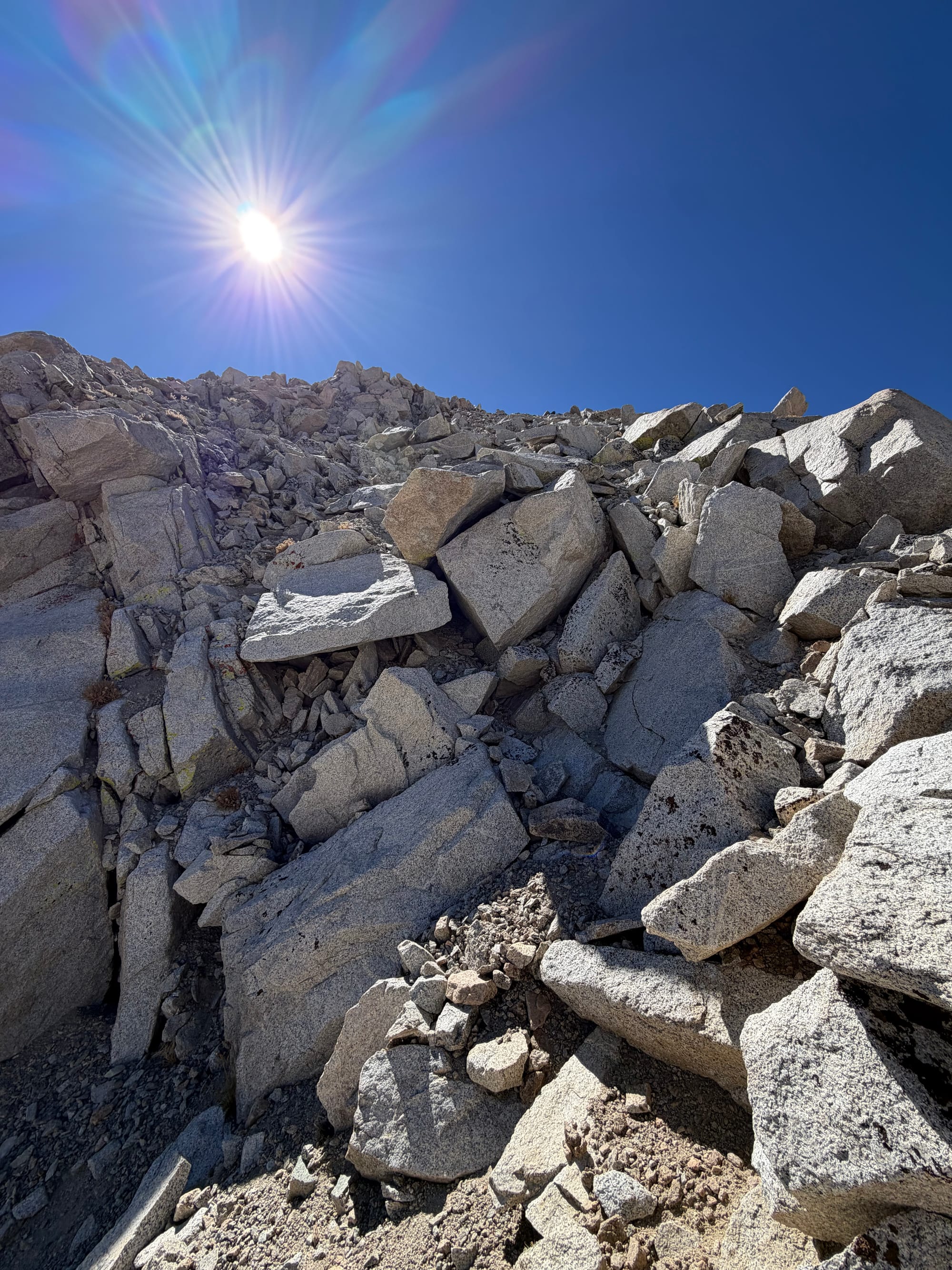
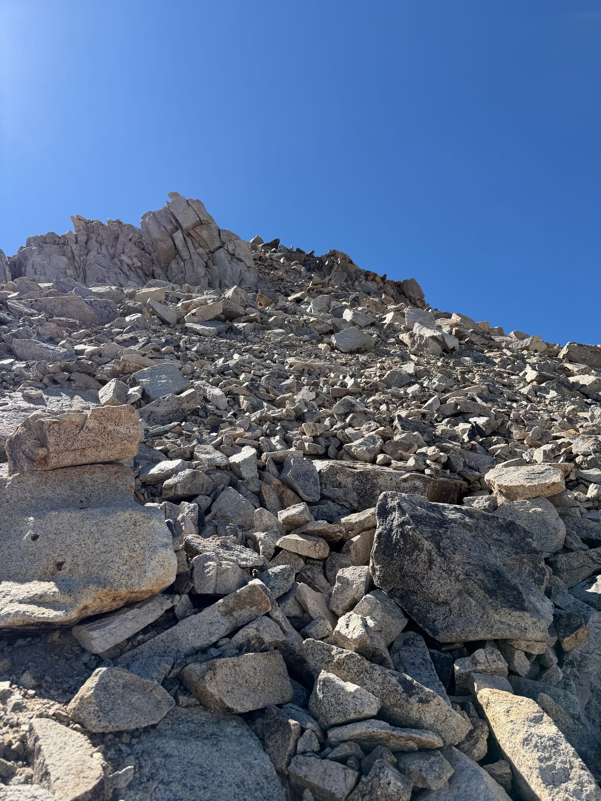
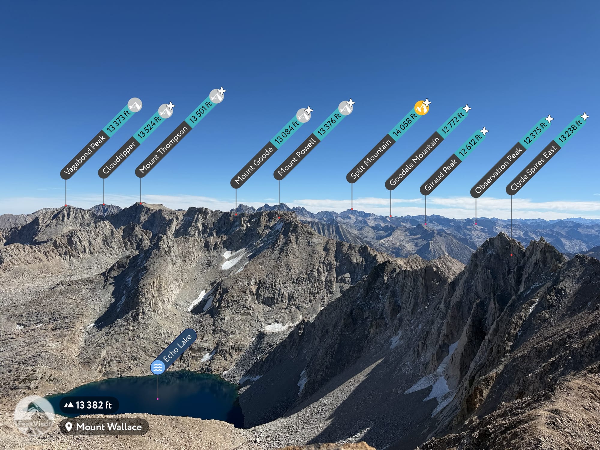
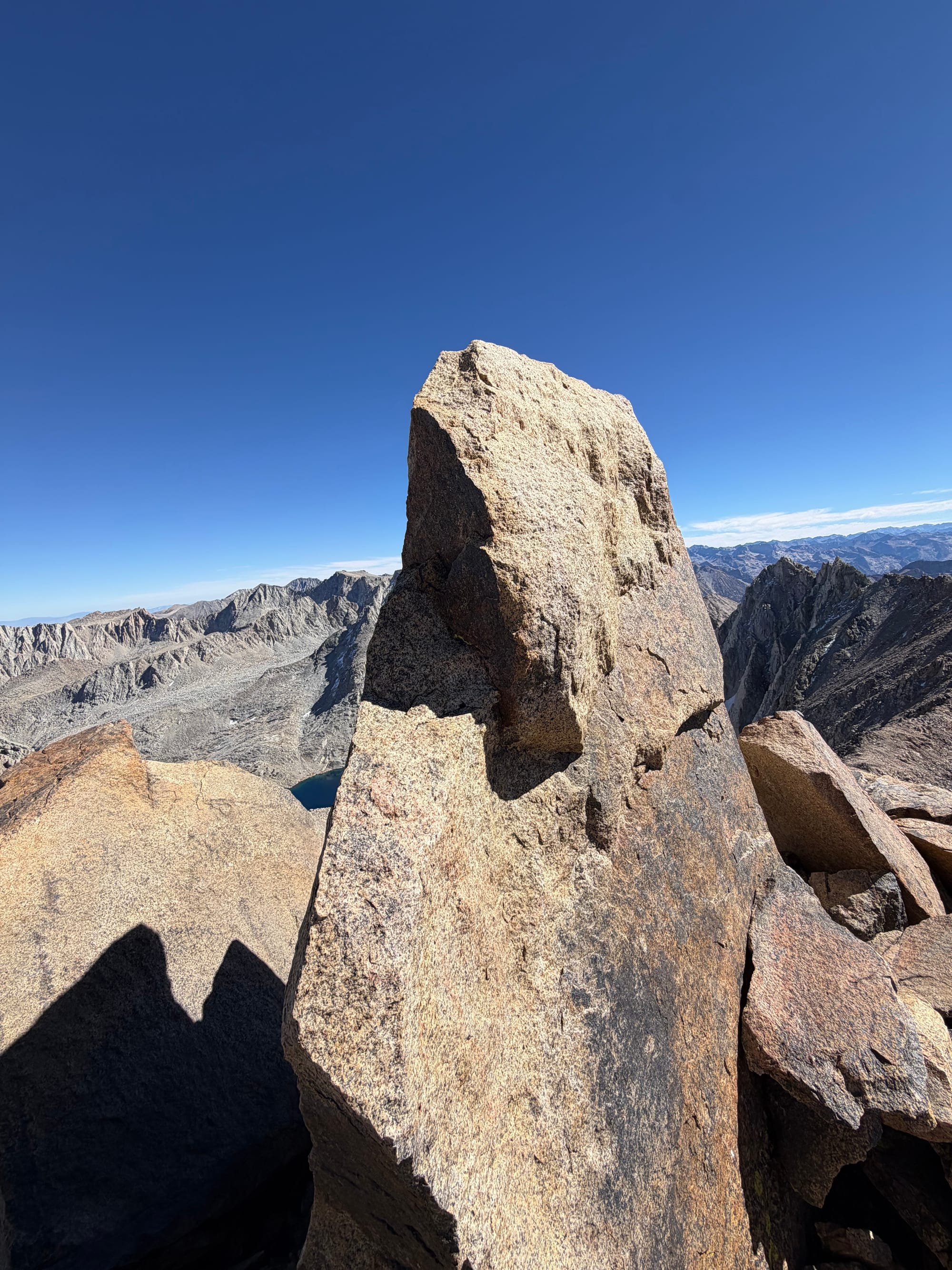
The climb to the summit is a slog but stays in the "fun class 2" zone until the summit block itself, which is a solid class 3 move (or 2). The views at the top were fantastic. All of the Evolution Peaks were in clear view, with perfect views deep into Kings Canyon — Observation Peak, Goddard, and the John Muir Trail just below me.
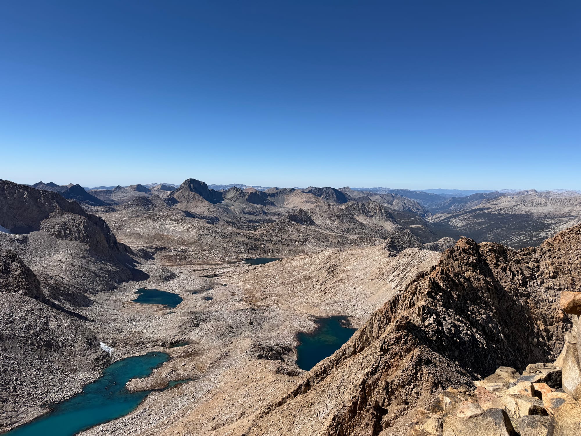
Again I basked in the glory and endorphins you get from being on a summit. I sipped water, enjoyed the snacks, and pondered getting down from the summit block. I was about 9.5 miles in, it was 1:15pm, and I was finally ready to head back to the car.
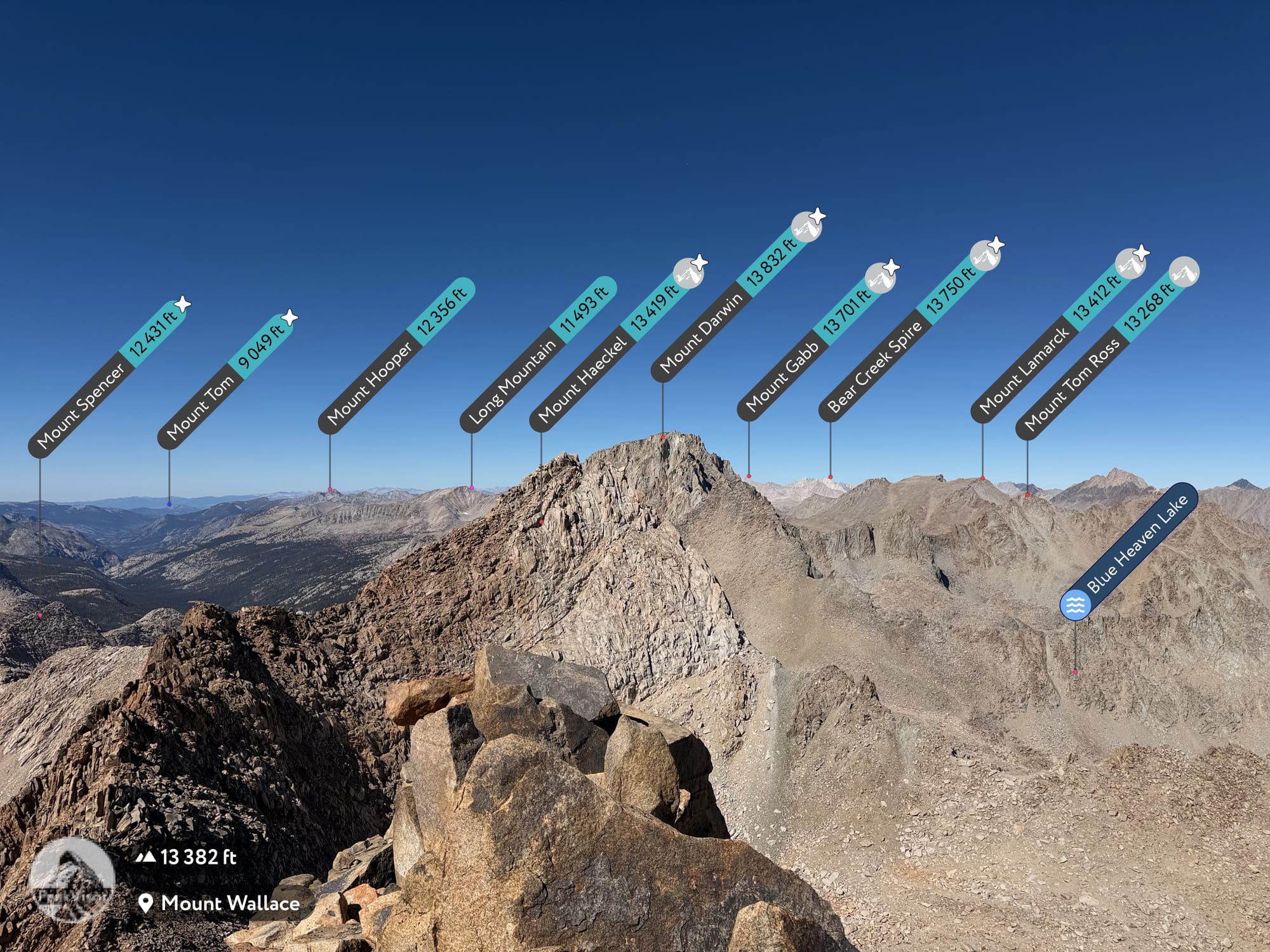
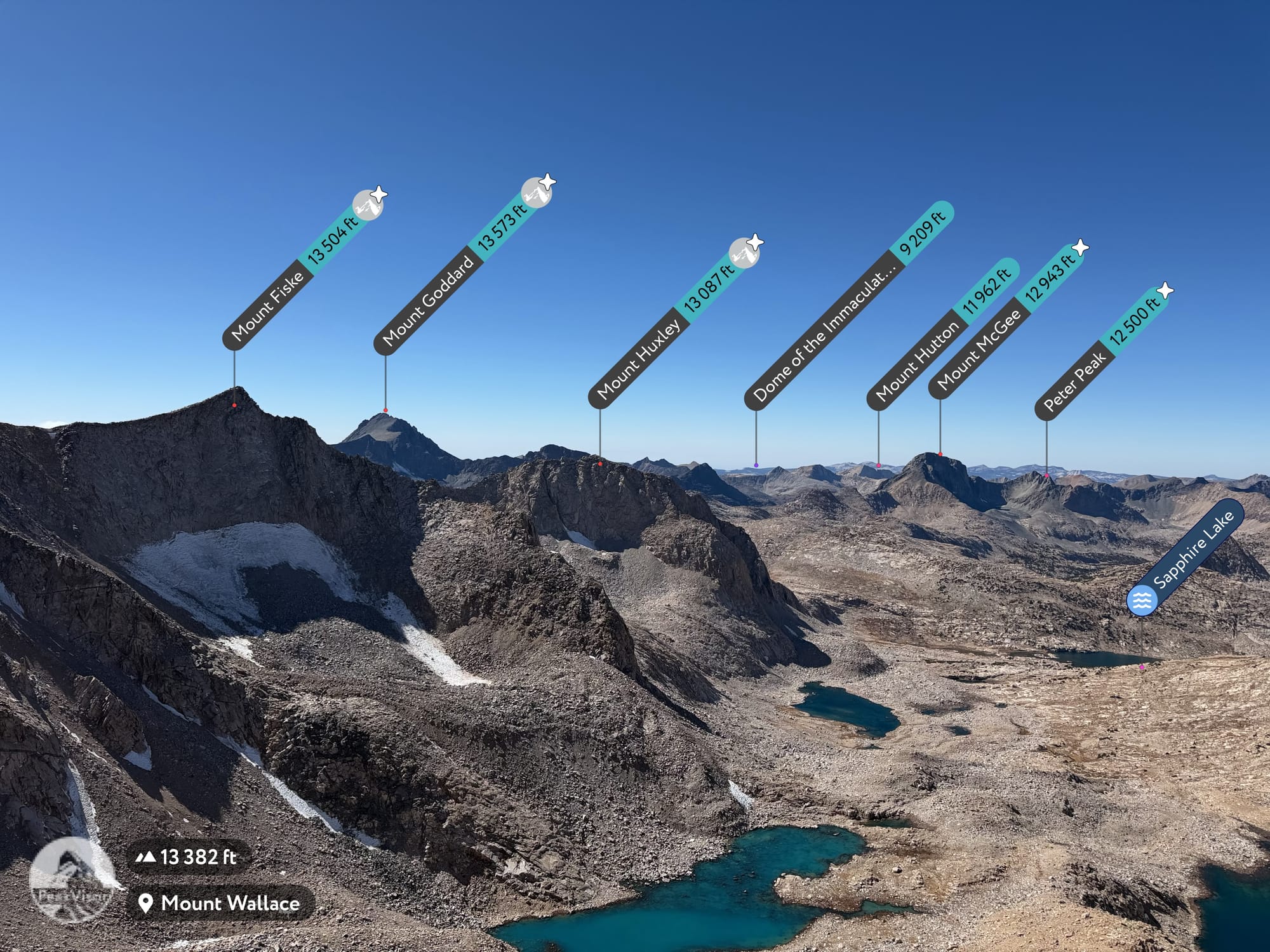
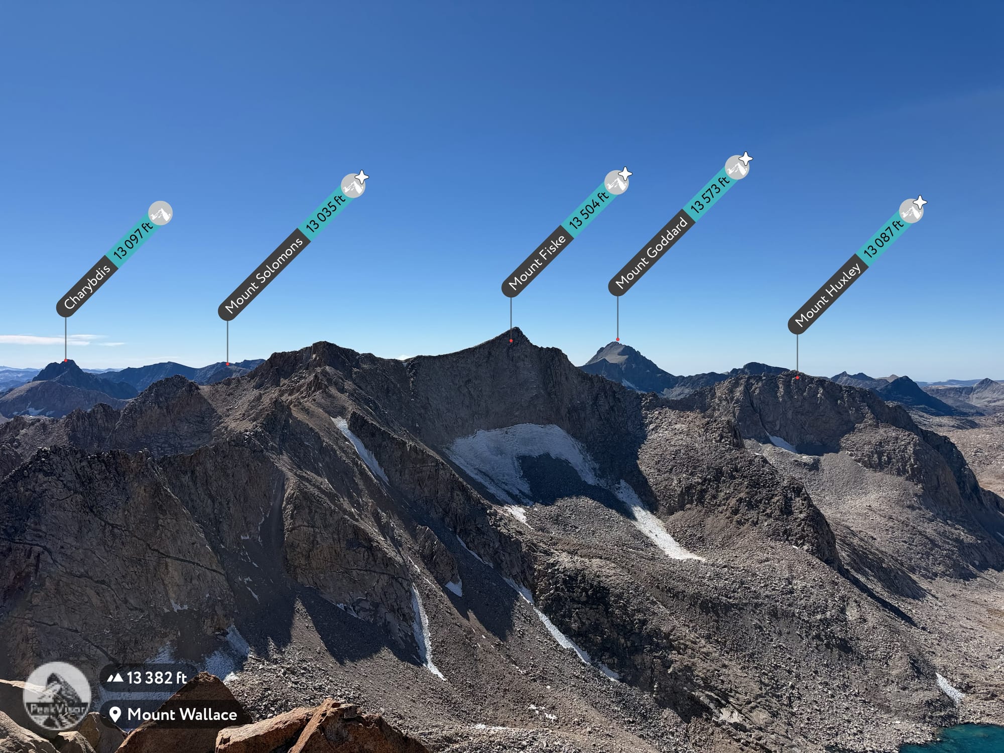
The descent, and a detour to Hungry Packer Lake
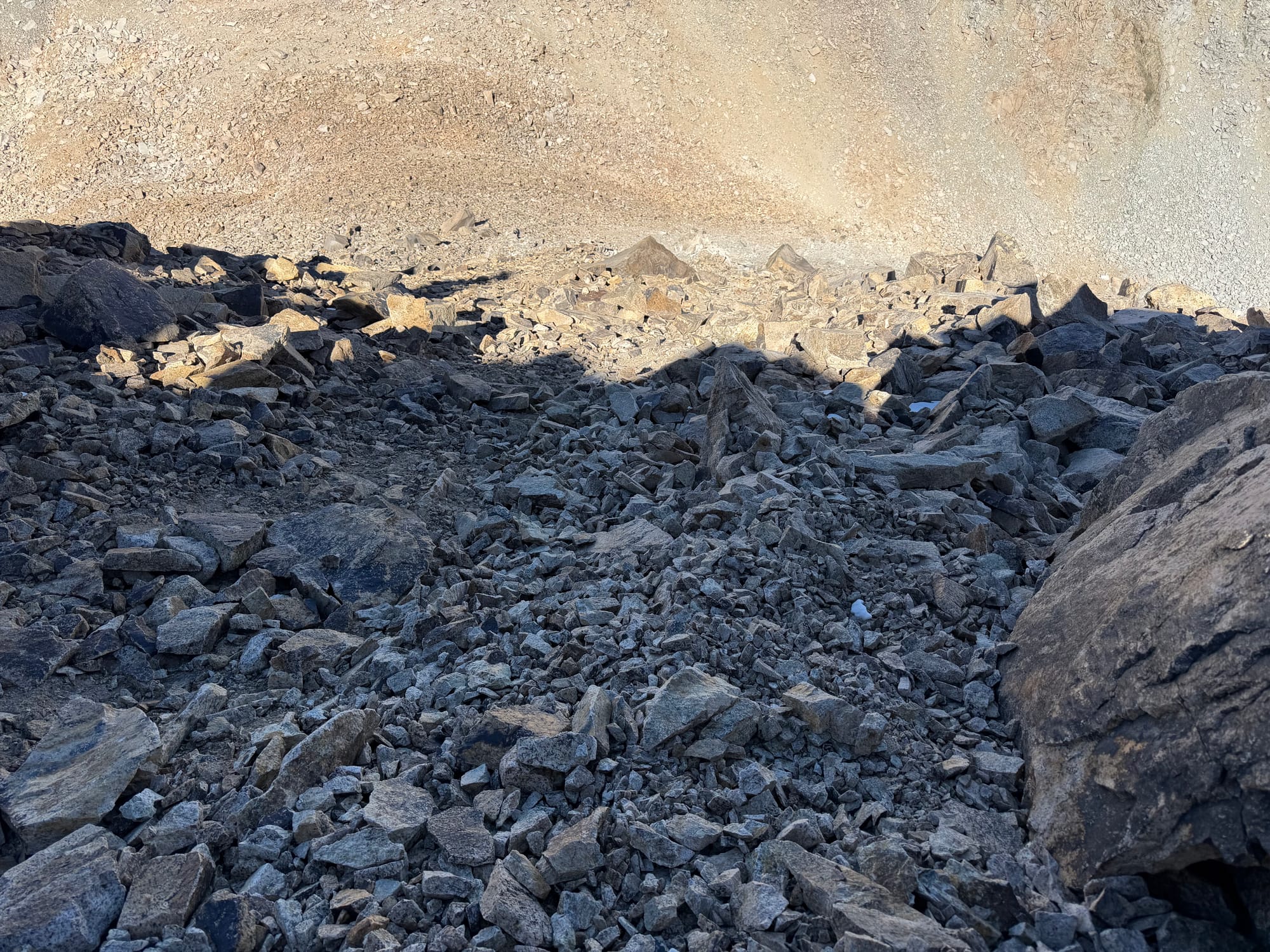
I want to divulge a little mistake I made on my way back to the car. I was making normal time through the boulder hopping, but got the bright idea that I wanted to drop down into Hungry Packer Lake. There was a clear saddle, and I thought I would easily drop the 600–700 feet down to the shore and walk along it. This was a miscalculation, as there was no easy way down, meaning I had to downclimb a few class 3 moves hoping I did not cliff out. Moreover, it was clear that there is not really a shore to walk along, so I wouldn't have been able to follow it even if the drop had gone easily. By yelling back and forth with a few guys fishing on the shoreline, I made it down, although it was a much longer and more complicated descent than it had to be.
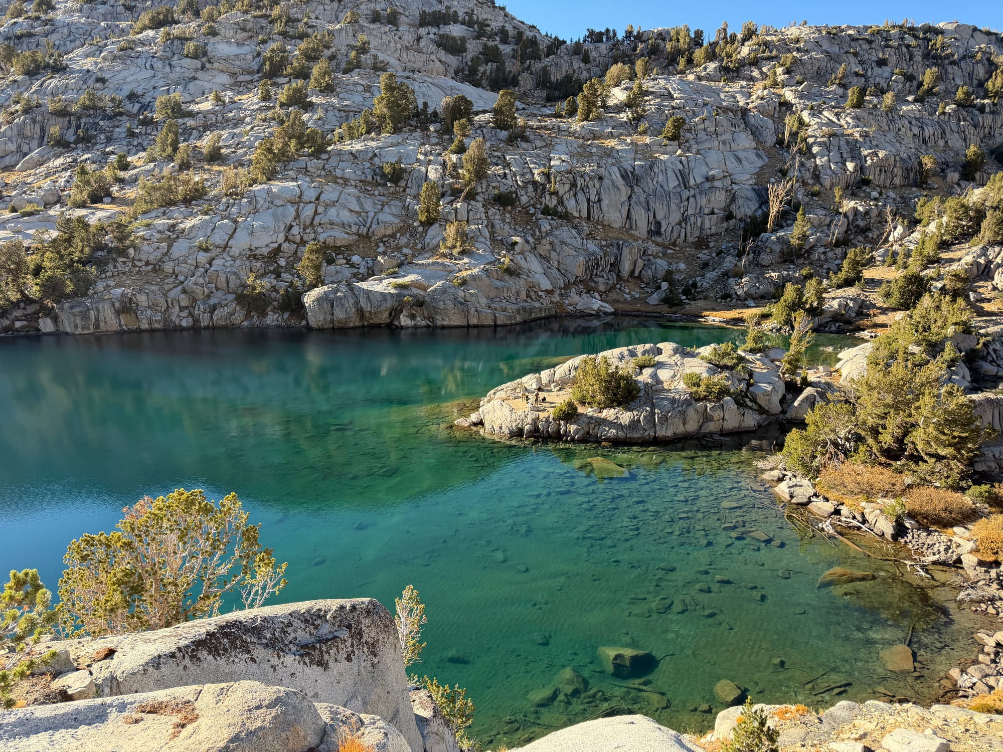
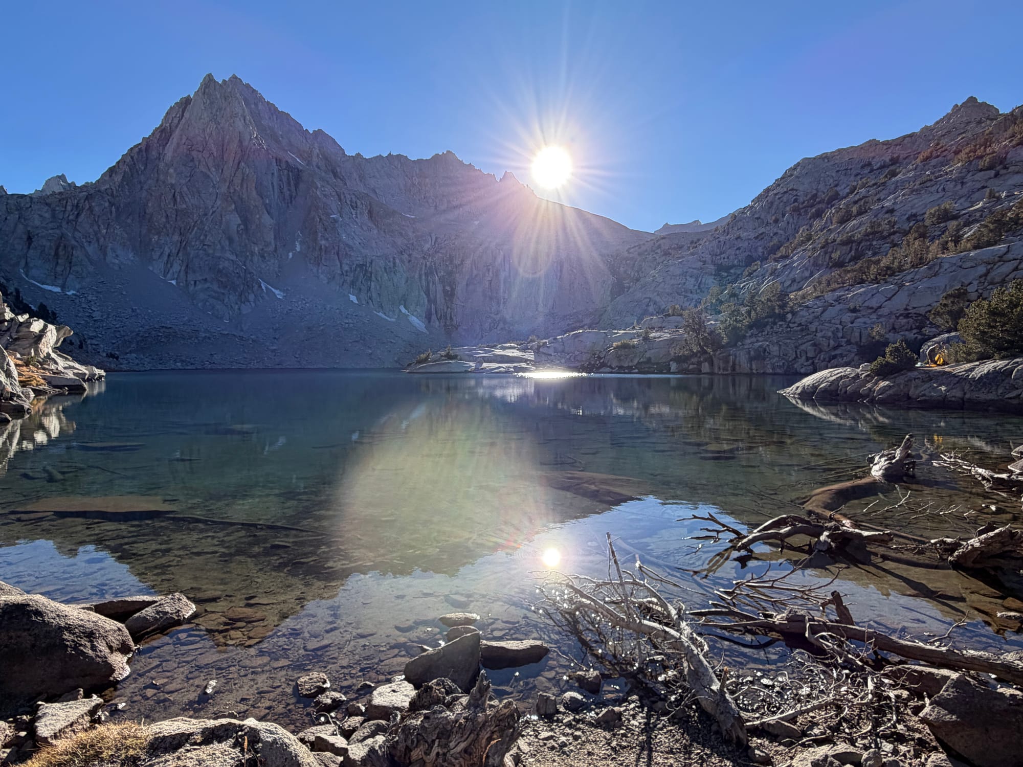
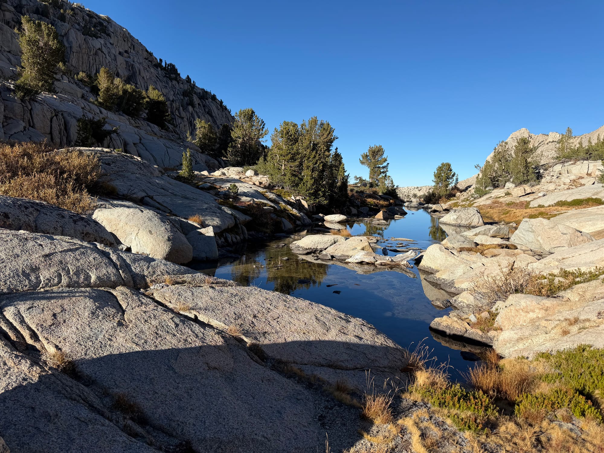
Hungry Packer Lake is beautiful and is absolutely a place I plan to return to, hopefully with Ariel and Atlas. From here, the hike was about 6.5 miles back to the car, which I returned to at 7pm — a total of 19 miles and 6,300 feet of elevation gain, and another stellar Sierra send in the books. This was obviously the last hike of the season, so it was nice to reflect on the season I had on the car ride home and think about what next year has in store.