Split Mountain —John Muir Wilderness — June 2026
A non-technical Sierra 14er with a burly approach: Red Lake to the summit of Split Mountain, with route notes and conditions.
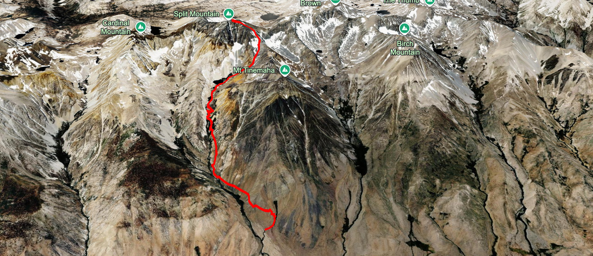
Split Mountain is another classic non-technical 14er in the Sierra Nevada. I say non-technical because you can effectively do the entire hike just using your feet, never needing your hands (unless you encounter snow, which i did). It is along the Sierra Crest separating the John Muir Wilderness from Kings Canyon National park, accessed via a notorious 4x4 road that starts in Big Pine and winds you around until you’re maybe 1–2 miles away from the Taboose Pass trailhead. At 14,056ft, it barely qualifies as a 14er but offers fantastic views in into the heart of Kings Canyon and beyond. Comparing it to Whitney and Langley which are the other two non-technical 14ers, I would say this hike is probably at the same difficulty level of Whitney or slightly harder, mainly due to how steep, sandy, and unmaintained the trail is. This — the approach to Red Lake — is the first thing Split Mtn is known for. Approximately 8000 vertical feet of gain in approximately 6 miles is objectively hard, and that’s before you mention the heat, the exposure, and the steep sand (that make it feel like two steps forward and one step back). The second thing is the road to the trailhead, which i will get to in a bit.
It took me two attempts to make the summit, with the first being done on Memorial Day Weekend 2026. My plan was to take my Audi as far as i felt comfortable on the 4x4 trail, then use my e-bike to get to the trailhead, and then send it in a day. The first part of the plan worked although it was a much more difficult e-bike ride than expected. Long story short, after getting on the trail at 3:15am, i made it to about 12,500ft in altitude until i was sinking in the snow to my knee and more importantly, cramping uncontrollably. It wasn’t my day.
This blog post will mostly be about the second (successful) summit attempt, but I will use some photos from the first attempt. After seeing what it feels like to summit in both 1 or 2 days, i believe it is absolutely possible (and preferred) to do it in 1 very long day as long as one has the proper physical fitness levels and you have waited for the snow to melt enough. Even in June, one can does not have to deal with the snow that I climbed and will show later on, as there is a slightly-sketch rock -route to the right of the final stretch to Red Lake Pass (versus slogging up the snow) that can lead you to the final push to the summit.
The Road
I’ve got decent experience off-roading. While living in my 4x4 van I spent days and days seeking out off-road tracks in Utah, Arizona, and all throughout the Baja. I spent 2 weeks recently off-roading in northern Brazil searching for the best kitesurfing beaches in the region. Judging by my experience, this was certainly above average when it comes to terrible roads. It is very mild compared to the famous 4x4 trails like the Rubicon, but for a road that people need to use to get to a trailhead (and aren’t expecting 4x4 conditions), it sucks and you absolutely need a high clearance vehicle. I saw a Rav4 at the parking lot and he had a dragging bumper and a cracked hubcap from the bouncing. 4x4 is much less important than the high clearance. We went in a Wrangler where the only modifications were off-road tires and a very, very slight lift (1 inch).
Hiking in is totally doable, but annoying. Same with biking. Note that biking will be difficult (but still doable) due to the giant boulders and rock fields within the track.
The Hike to Red Lake
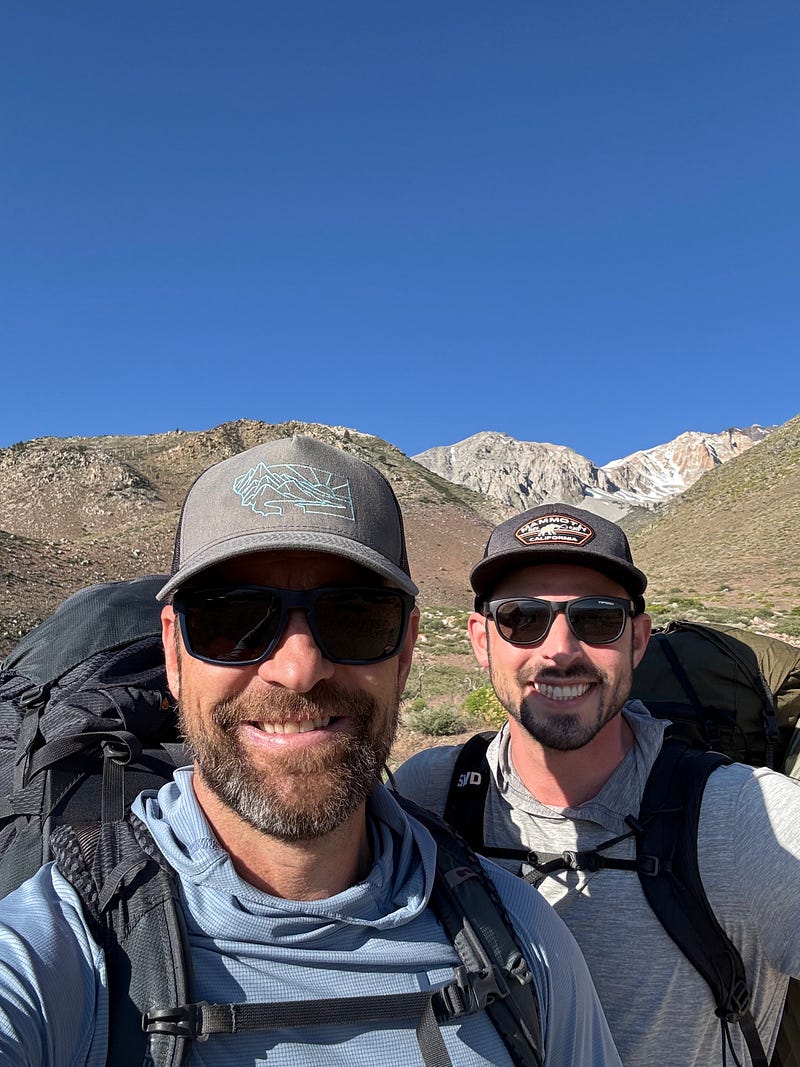
The hike to Red Lake is about 3.5 miles total and in my opinion isn’t very enjoyable until you’re within half a mile of the lake itself. It’s unmaintained, hot/exposed, relentlessly steep, and filled with unstable sand. It felt like the longest 3.5 miles of my life on both attempts, and at the end of my first attempt, I met some Bishop locals fishing Red Lake who believe it’s the worst trail in the Eastern Sierra (I agree with them).
Although my first attempt was solo, my second attempt was with my friend Joe Stein who was just starting to get his summer legs under him which brought our pace down significantly. Timing and pace didnt matter though as we had all day to get to the lake as our plan wasnt to summit until the following morning (Sunday). With a morning start of 7am, we had plenty of time to mosey on up.
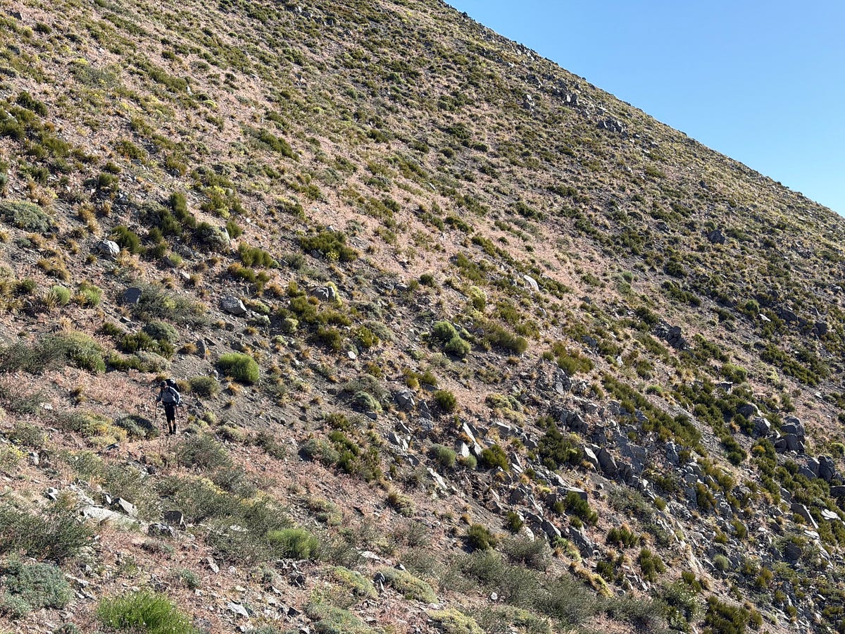
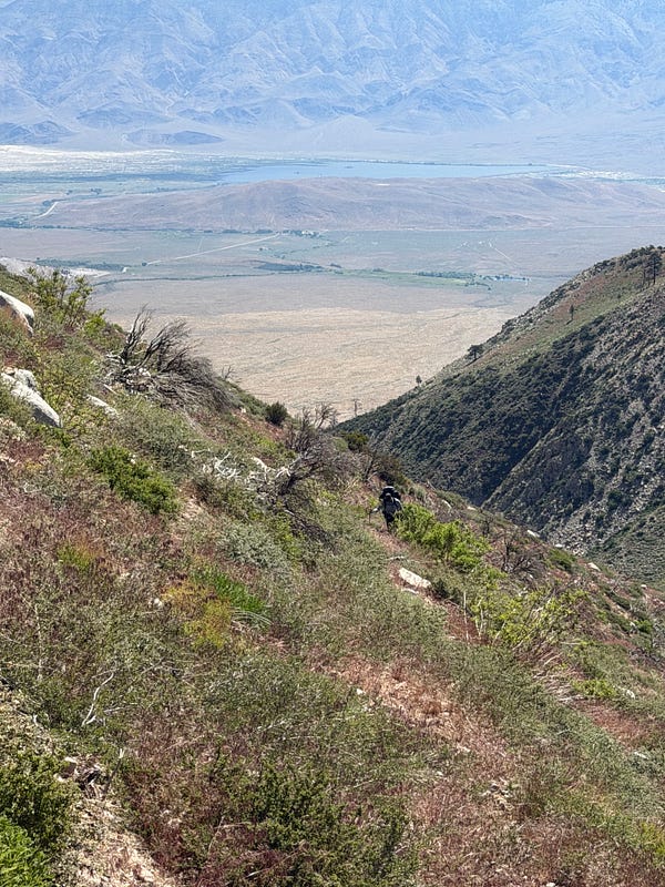
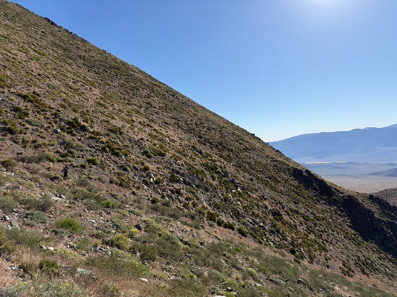
This is the view for the first half. Along the canyon wall up and up
The hike starts at about 6k feet and immediately bumps you up knoll where you then have some constant but manageable incline until you hit about the 2 mile marker. From there it gets much steeper and sandier. The beginning of the hike is your classic eastern sierra foliage: no trees and full of sage and other thorny bushes. The notable part about the foliage, at least for me as a dog owner, was the insane amount of foxtail coverage. It was everywhere.
About 3/4ths of a mile from Red Lake, you start to get some beautiful jeffrey pines and junipers and by the time you get to “fake” Red Lake (the small lake right before), the trail has completely transformed into a classic sierra environment. If you’re dumb enough to go in May or June like I did, then you’ll also be able to see the creek run over some beautiful waterfalls as well. I dont have much else to say about the trail given that on my first attempt i was heads down pushing and not really enjoying what i was seeing and the second attempt i was making sure Joe had not passed out. But I will add that we took 4.5 hours to get to Red Lake on this second attempt versus 2.75 hours on my first attempt, and i think the propert way to think about it is closer to 4.5 than to 2.75 for the majority of people.
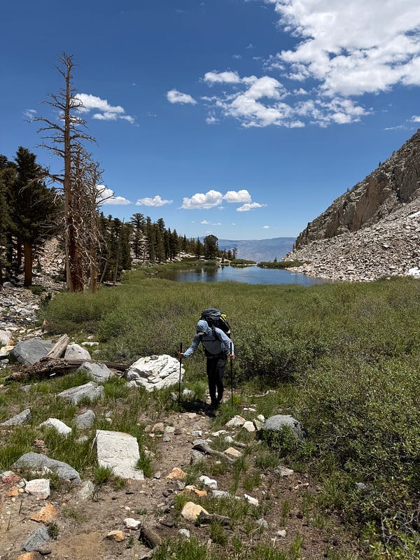
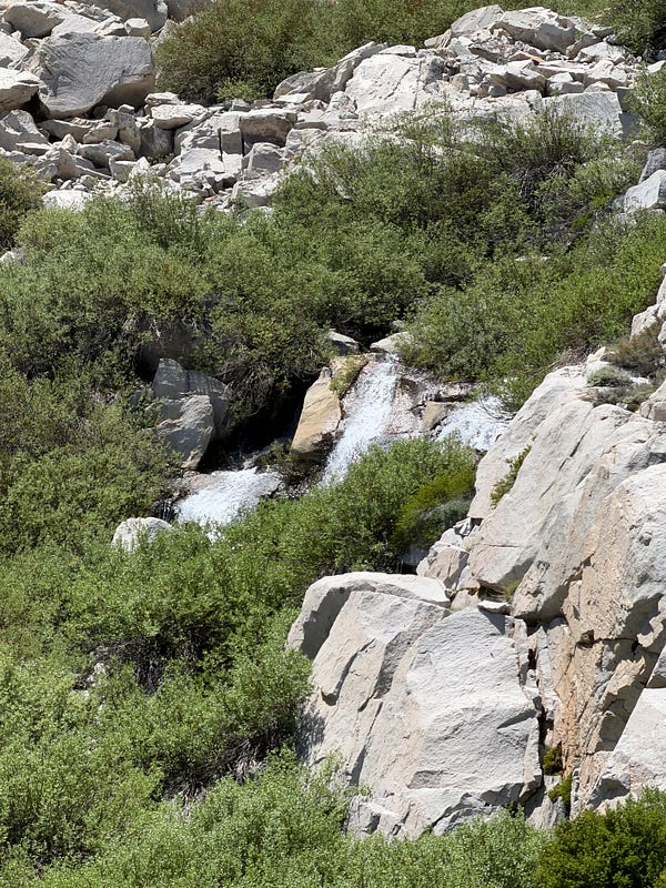
Entering the classic Sierra environment on the final approach to Red Lake
3.5 miles and 4000 vertical feet later, we found ourselves at Red Lake, which is a great reward. It is a large alpine lake with multiple access points to get into the water and for those that love to fish, it is stuffed with trout. The two main views are the gentle, glacial-carved slope that is the obvious path to the summit and then the enormous 4000ft east-face of Split Mtn, packed with spires and chimneys. The face is really a site to see. I loved seeing it during sunrise and the AM golden hour (on my first attempt), as the early morning sun glowed orange against the multi-colored metamorphic rock.
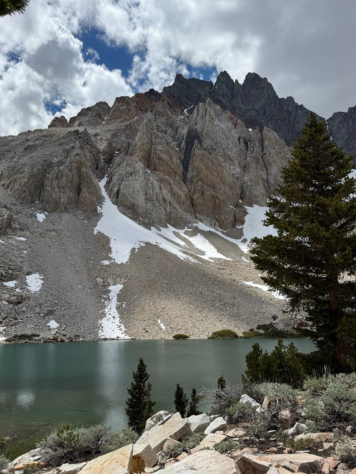
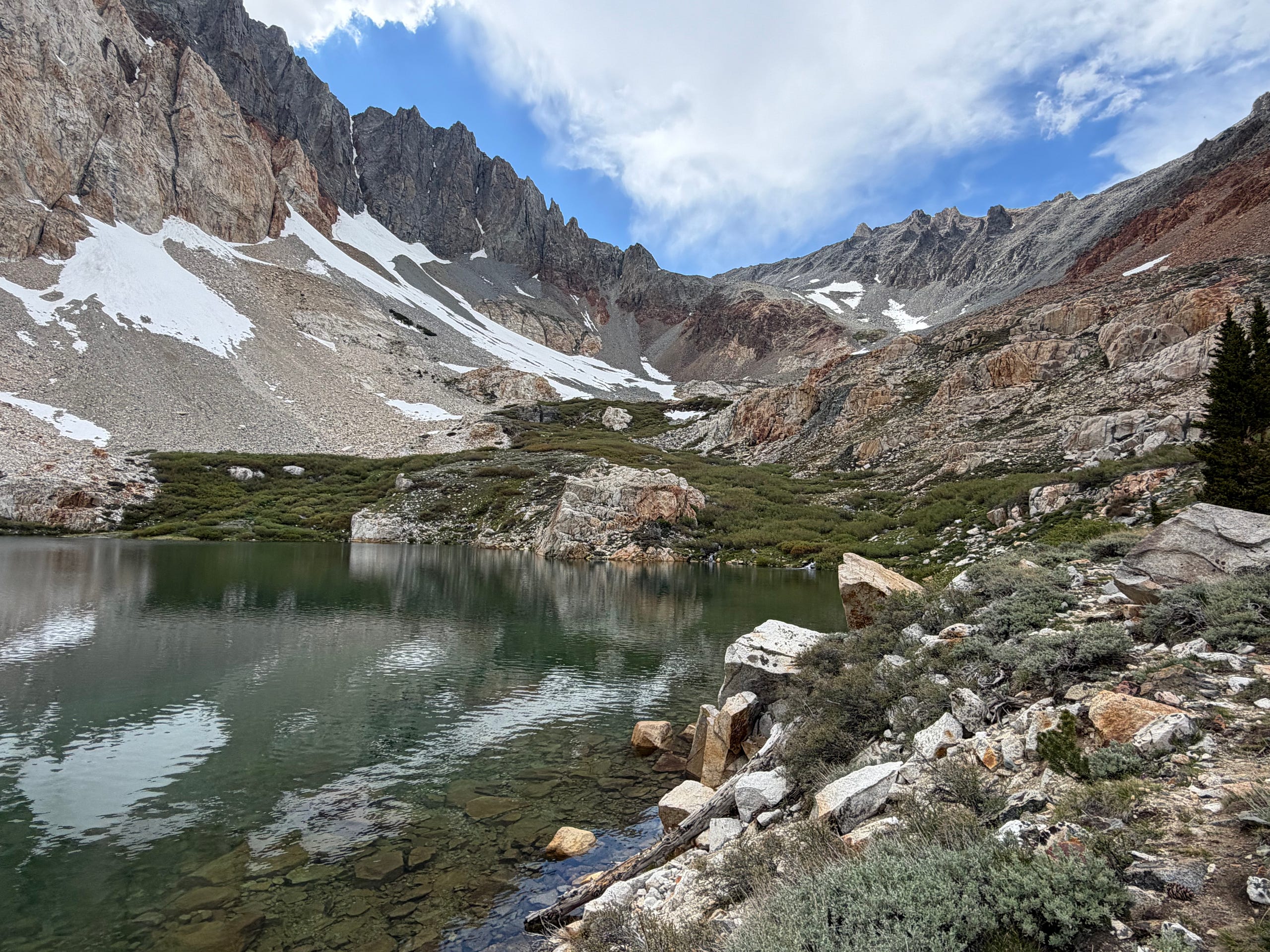
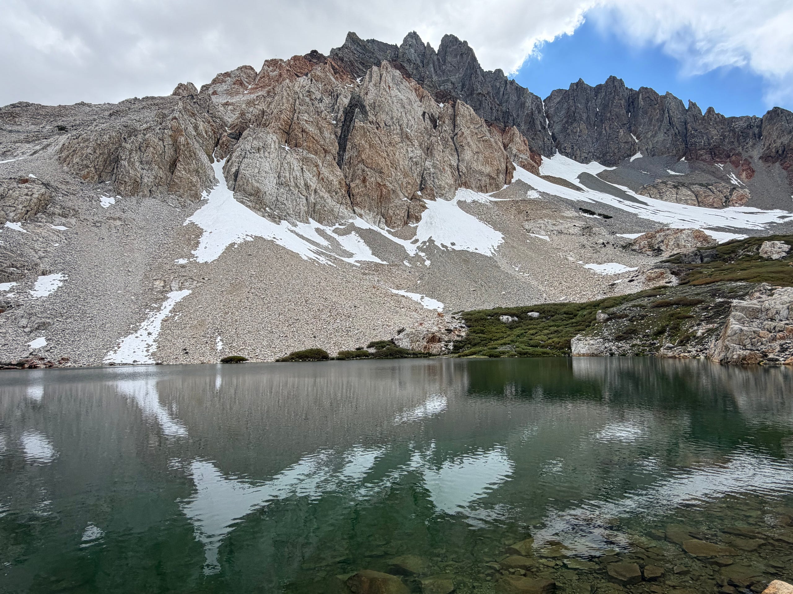
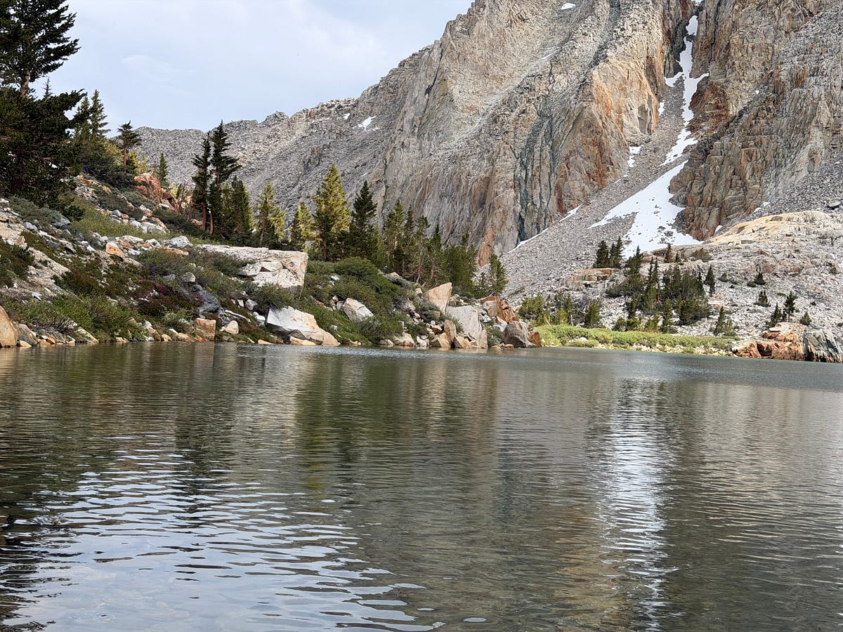
Since Joe and I got here around lunch, we had all day to hang around and rest our legs. There weren’t many people here outside of another party who were shooting for the summit in a single day and another party that were just fishing. The weather came in with a slight drizzle and some intense winds, but it never got too bad. We had an early dinner and went to bed around 6:30pm, setting the alarm for about 2:30am.
The Approach (Red Lake to the Summit)
The approach and push to the summit is ANOTHER 4000ft of vertical gain, but this time in 2.5 miles. Somehow, steeper than the first 4000 vertical feet!
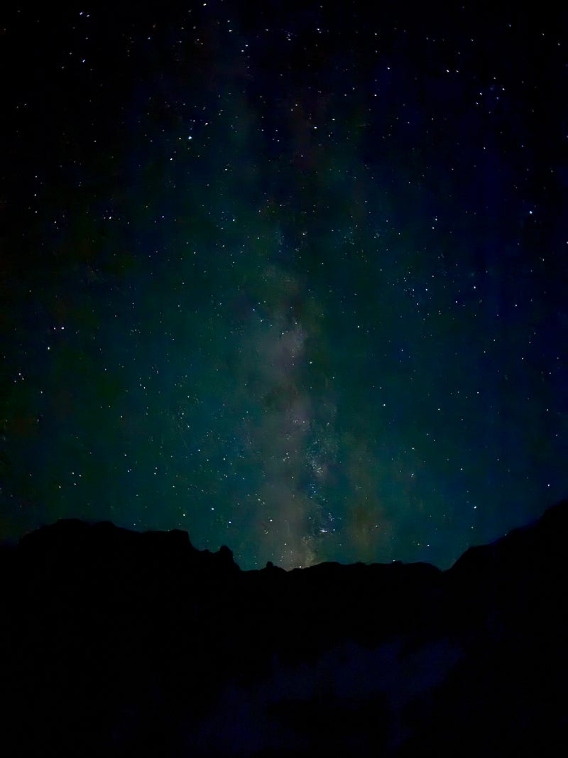
Given my experience with the snow on the first attempt, I was up again at 2:30am and was on the trail at 3:45am to make sure I would be on the summit before 8am. After messing around and finding the least convenient spot to get water in the dark, I officially up and at em around 4am.
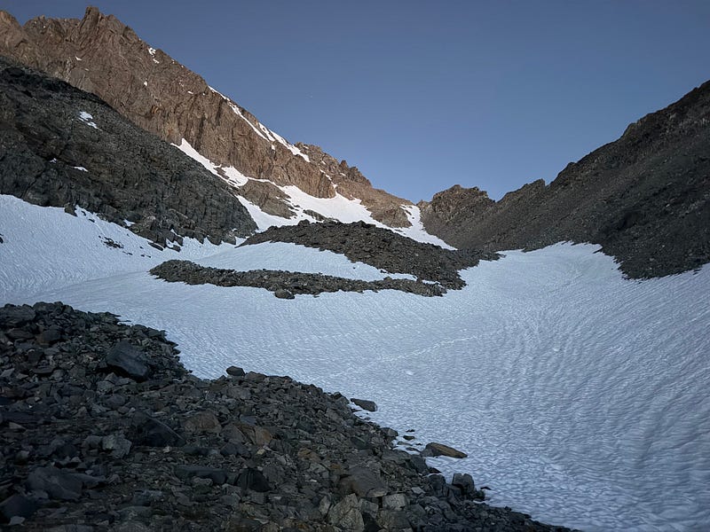
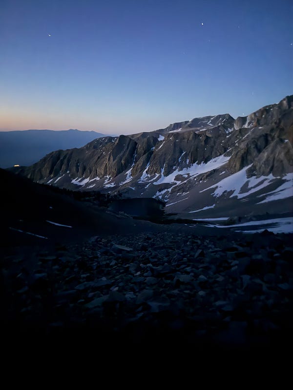
The pre-dawn approach up the canyon toward Red Lake Pass
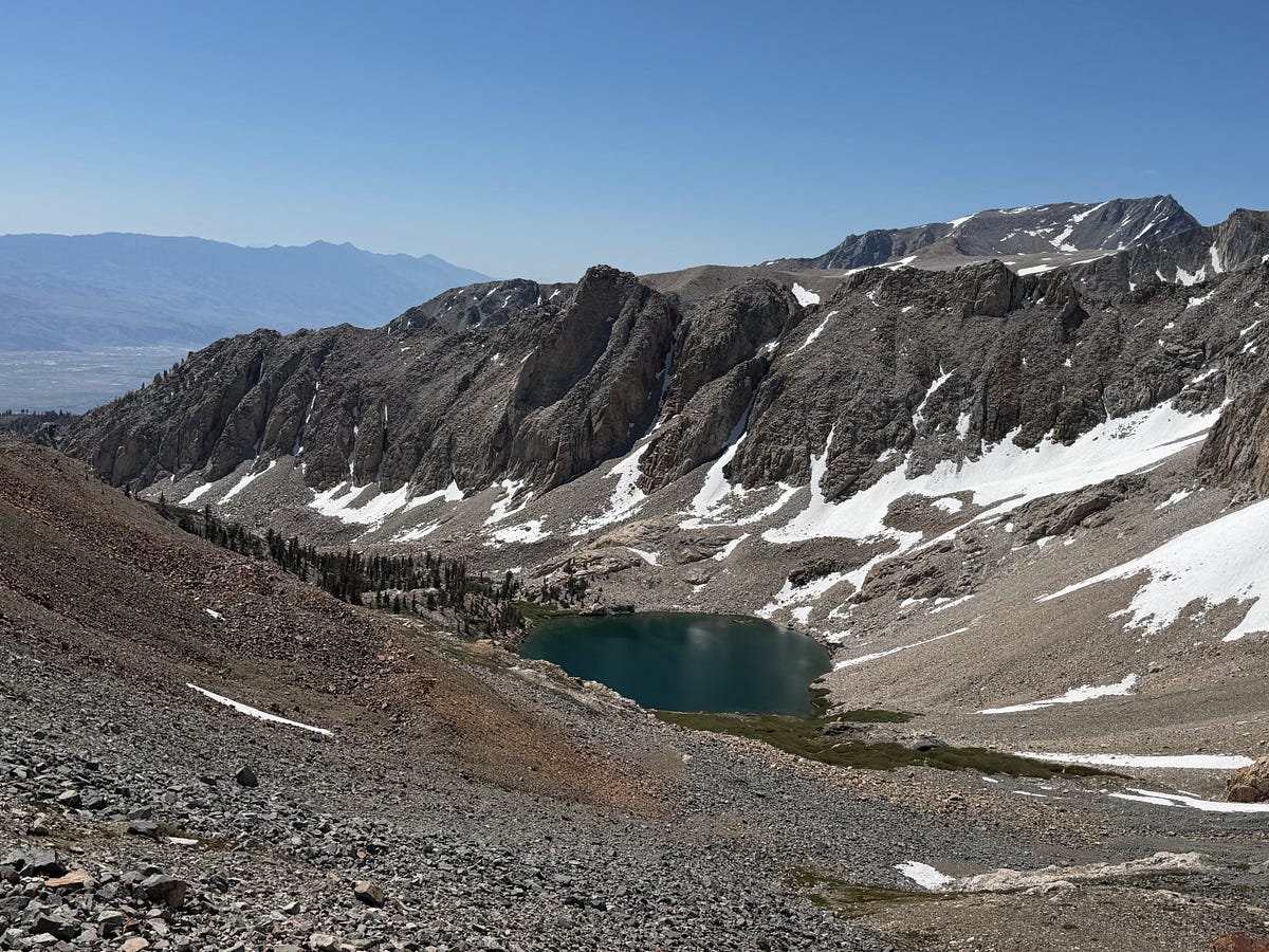
The trail meanders up Red Lake’s inlet that eventually disappears under the talus fields before disappearing into a snow field. It’s rather obvious where to go and i find it very cool to be walking in what used to be a river of ice chomping away at the rock. It was beautiful in the pre-dawn light. Around 5am, i could finally turn my headlamp off. Some the photos from this time are beautiful. It’s not every day that you get to be in a canyon like this above the treeline before the sun is up, and I took my time to enjoy the surroundings. By 5:35am, a little less than 2 hours after starting, I was at 12,500ft, close to where I decided to turn around and the sun was coming up. 30 minutes later, I had ridden the rock to the right side of this small cantyon as far as I felt comfortable and around here i felt that it had become easier to walk on the still frozen snow so I took off my trailrunners off and switched into my La Sportiva boots and put the crampons on.
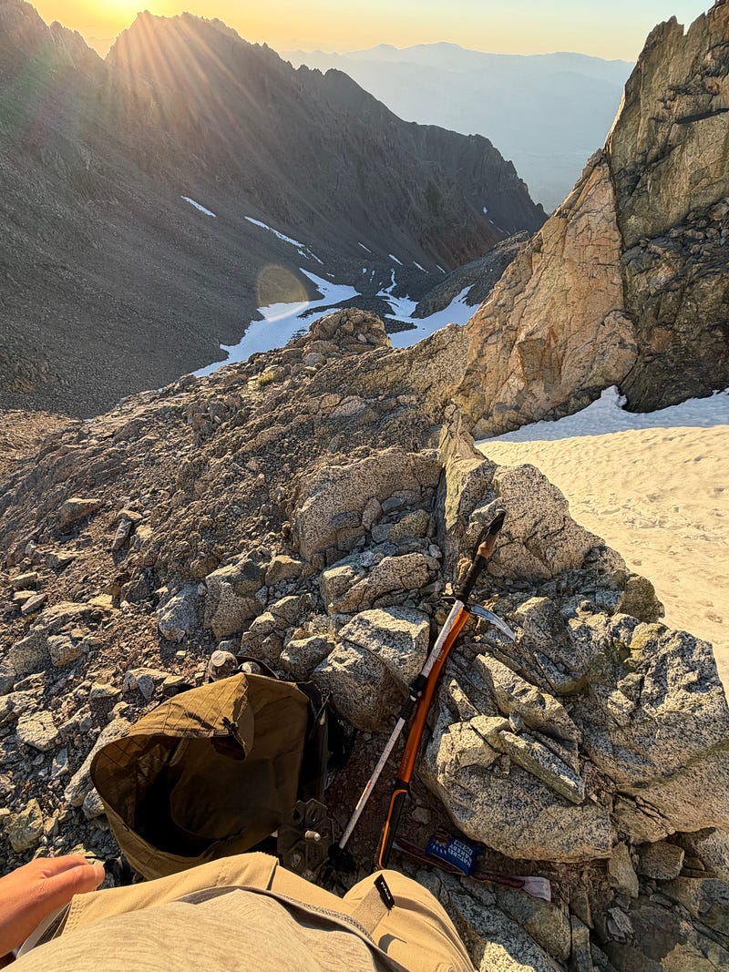
It was now around 6am and that i started the steep section right below Red Lake Pass. This is a very steep 800 foot section. Looking back, it was certainly doable to ride the right-side rock that i had been on prior (and was used by the folks before and right after me that i encountered), but with my snow gear that i had lugged all that way, i felt it was easier to just climb the snow. With my crampons on, an ax in my right hand and pole in my left, i truged on. It was a pain in the ass, but i made it to Red Lake Pass, elevation 13038, at about 6:35am.
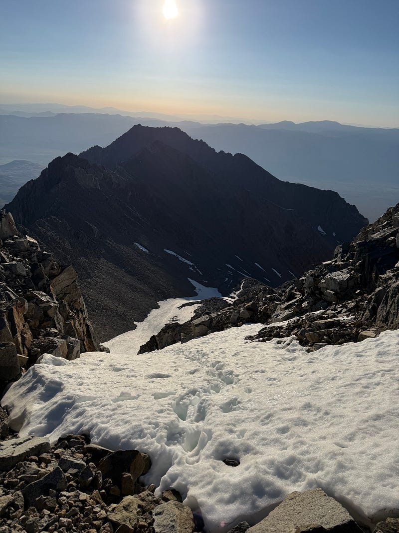
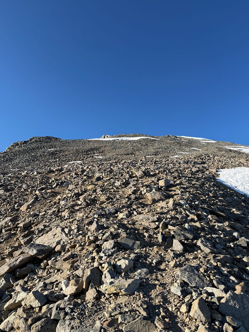
I took a quick break and then focused myself for the final 1000 ft push to the summit. Coming from sea level, I dont do great at elevation and I was really feeling it in this section. It wasn’t crazy steep or anything, but i kept needing to take a breather every coulple of steps. The combination of snow patches and boulder hopping was tedious, but after about an hour, I finally made it to the summit at about 7:45am.
The Summit
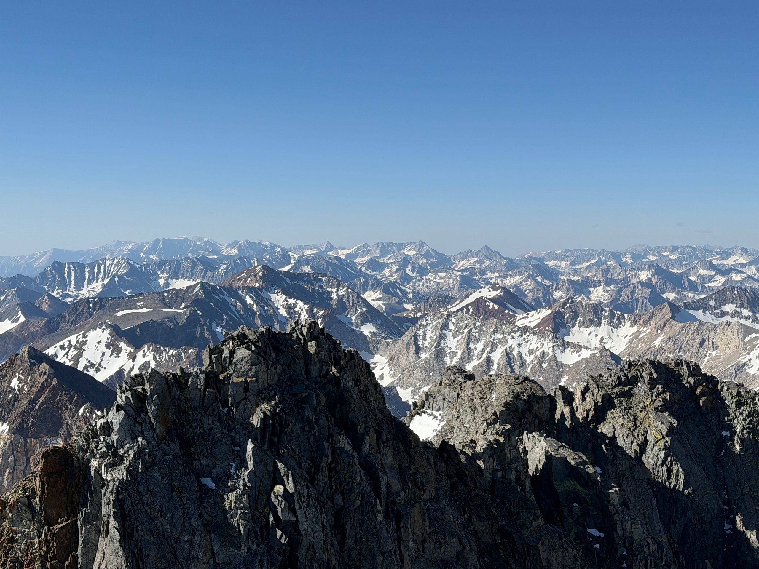
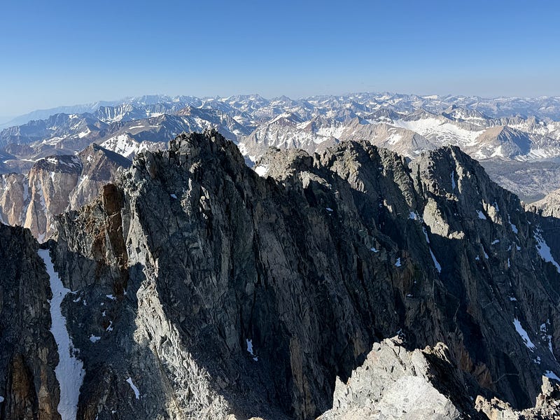
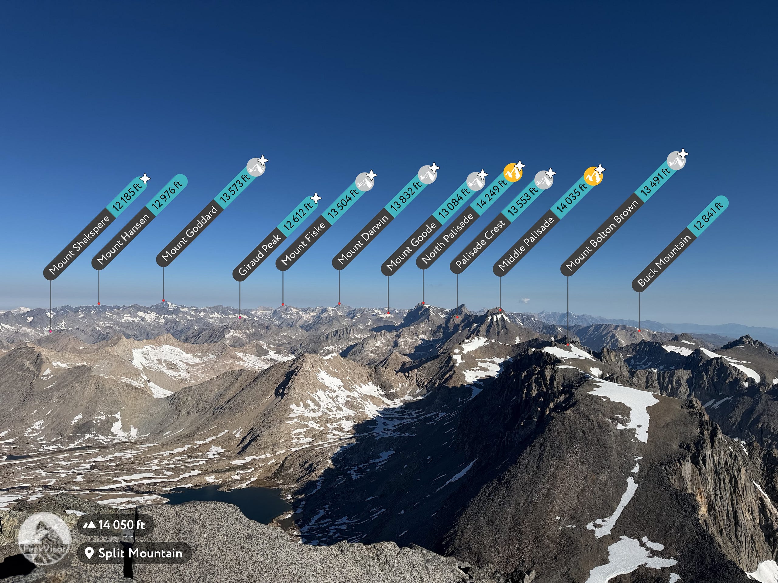
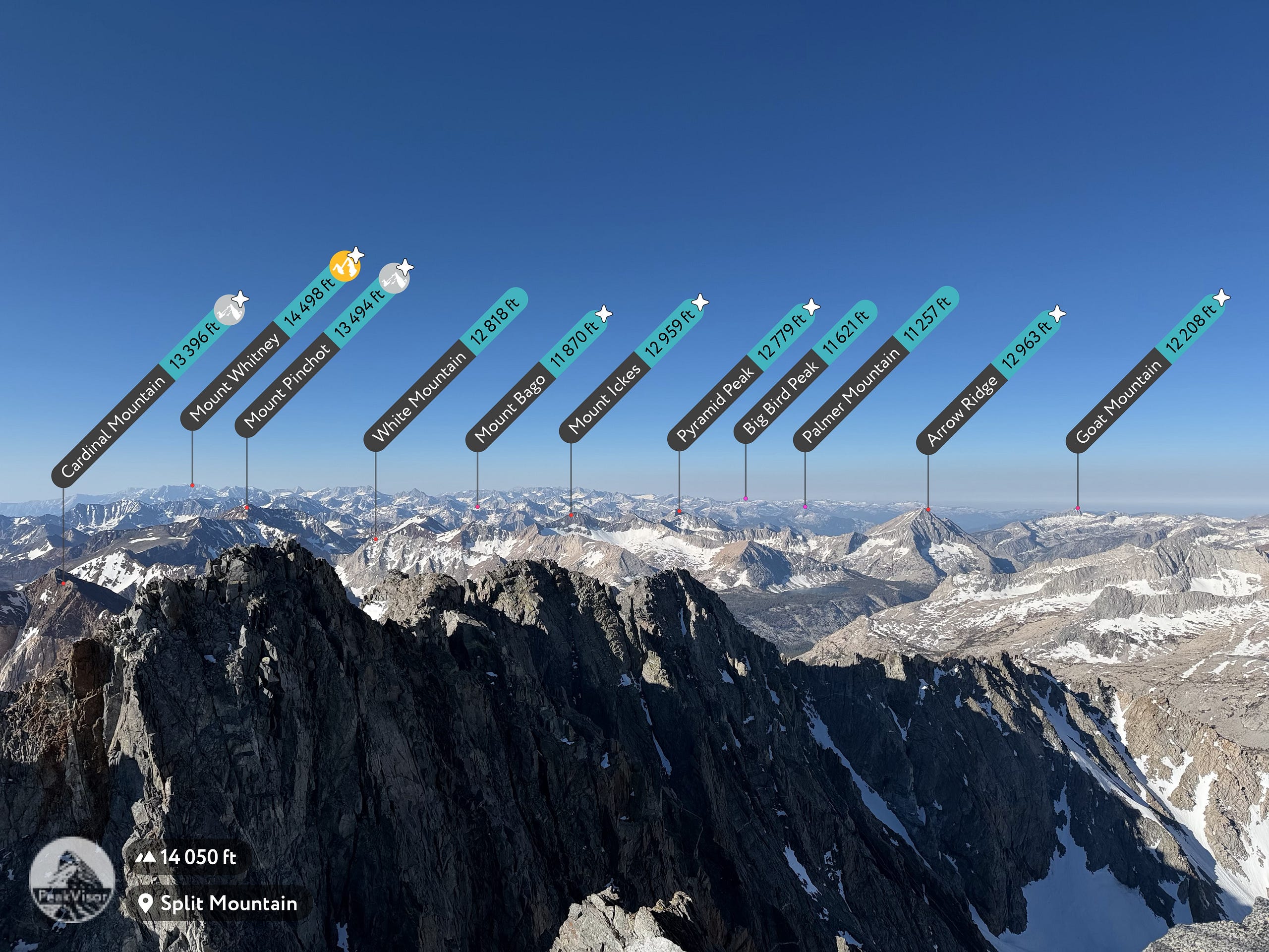
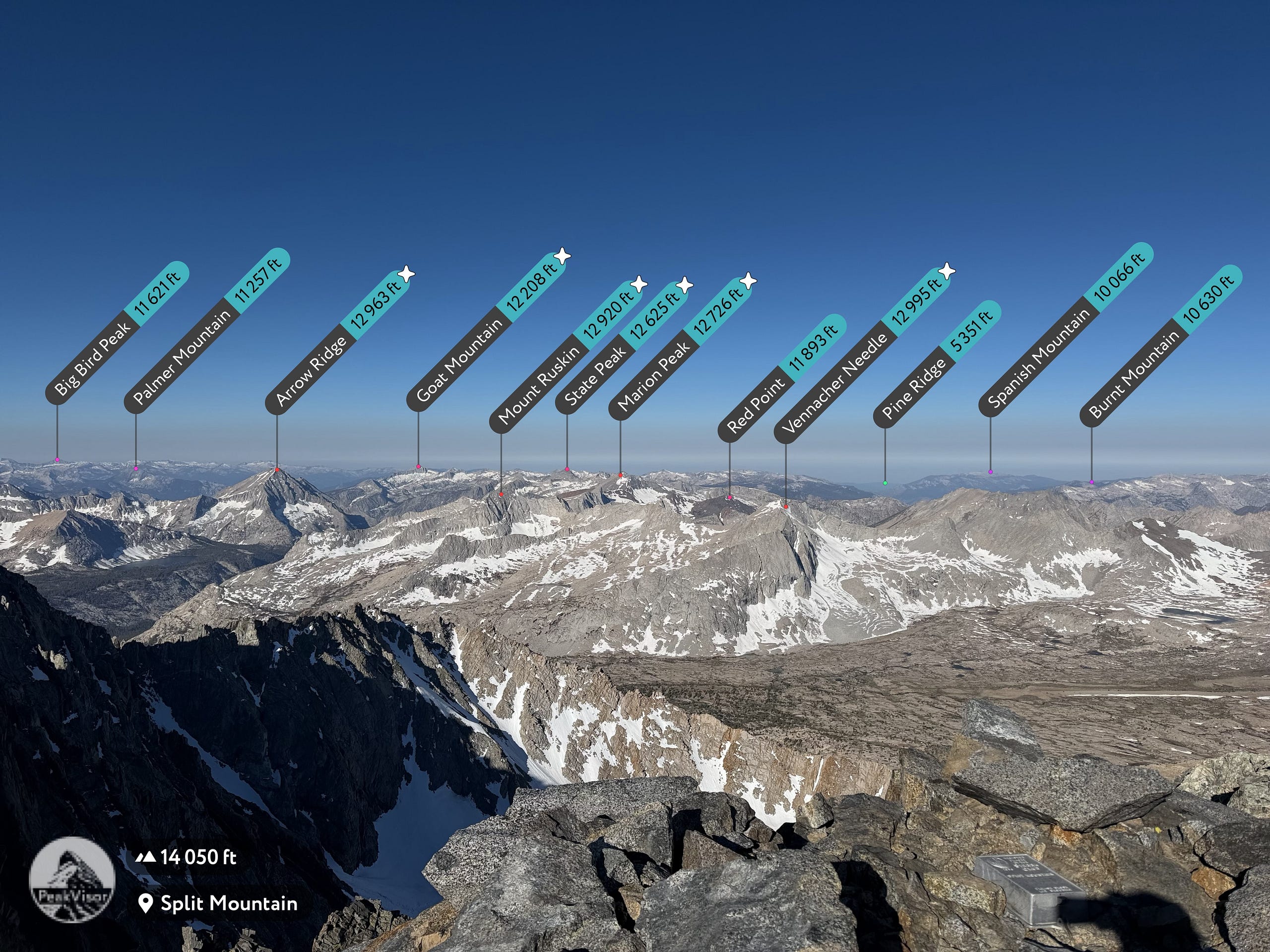
WOW…absolutely outstanding views into the very heart of Kings Canyon. At the summit, you are directly above the Upper Basin, which is the headwaters of the South Fork of the Kings River. The views in all directions are fabulous. I could go on and on but the photos will do better justice. Very cool to be able to get this view of the Palisades and the Evolutions beyond it. Always cool to be able to see the big dark pyramid that is Goddard and then such a perfect view of Arrow Peak (which looked like a perfect triangle) and Bench Lake below it. Waaaay off in the distance I could see the Whitney group.
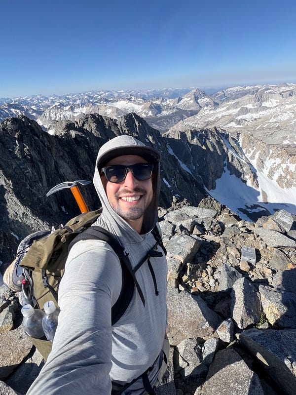
We made it!
The Descent
I signed the register, Facetimed with my fiance and family so they could see the views too, and then made my way down just after 8:20am.
Glissading the steep snow on the descent
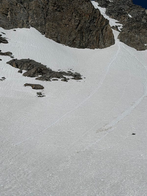
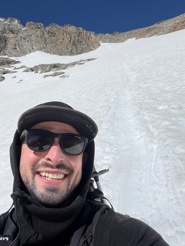
The notable part of the decent was the ~500ft (maybe more?) glizzade down the very steep part. It was already 9:40 by the time i had made it here and the snow was starting to become very slushy but i made it work and probably saved 30 minutes. The rest of it was a tired walk back to camp which i arrived to around 11am. I rested, packed up the tent, made lunch, and we were on the way back to the trailhead at Noon. I was tired and not excited for this decent down such a steep and sandy trail but we made it without incident. I chose to hike about half of the trail in my snow boots for better traction given that I (and joe) was slipping from the sand which was not fun in my tired state. We got back to the car at 3pm, exhausted, and hit Copper Top for some BBQ before the long drive back to LA, thankful to be able to sleep in my own bed. What a day. Tired and weary, i still felt that overwhelming feeling of gratitude that i always do to be able to get off a mountain and still be able to sleep in my own bed.
All in all, this was an epic trip. Never want to hike this trail — or drive that road — again , but i’m glad I did.