Mt. Cotter & Sixty Lakes Basin via Kearsarge Pass — Kings Canyon NP — September 2026
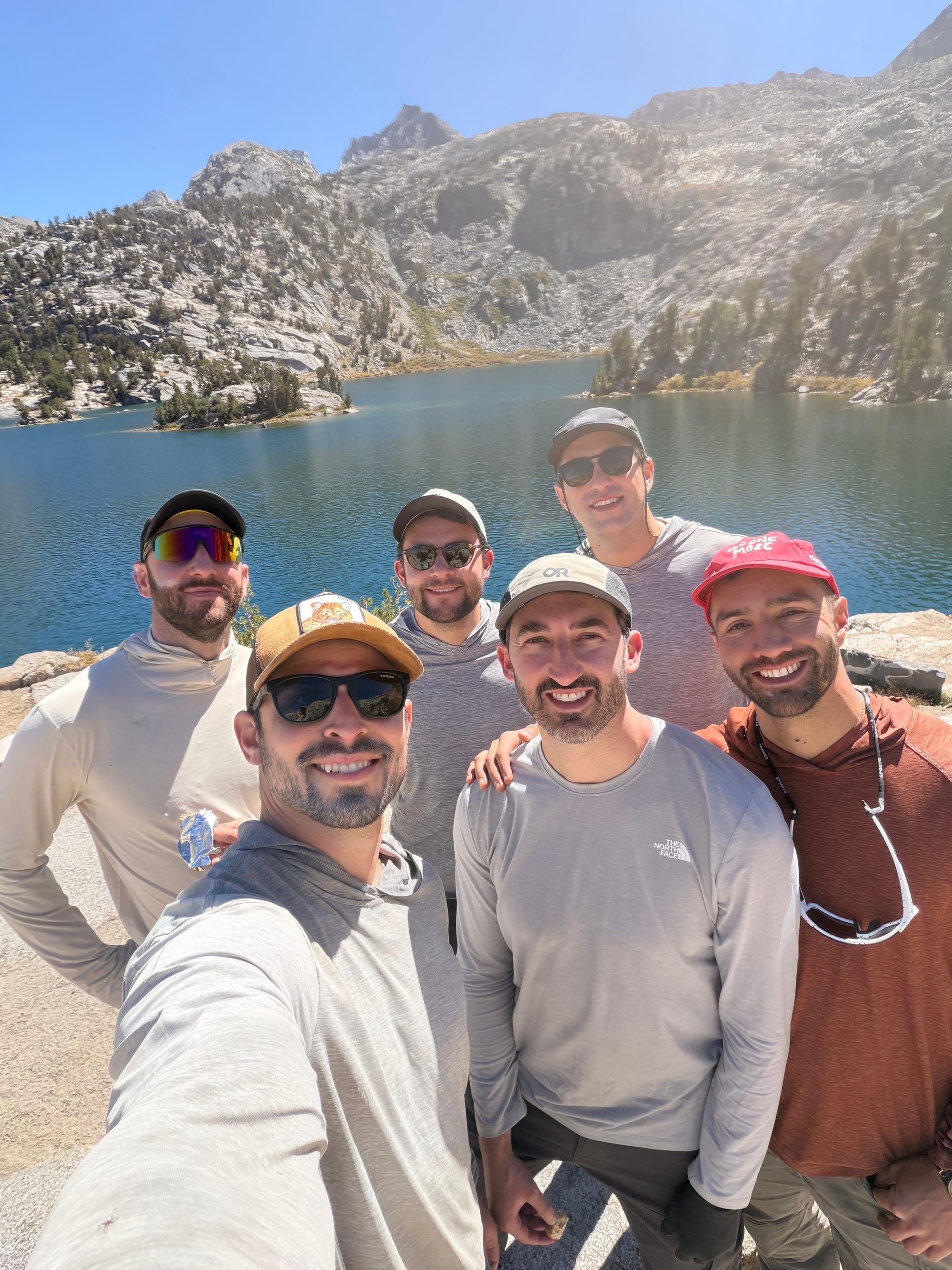
My 35th birthday with five friends: over Kearsarge and Glen Pass to Sixty Lakes Basin, and a sunrise scramble up Mt. Cotter.
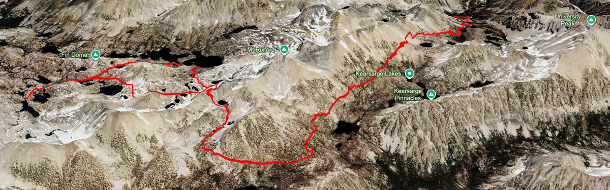
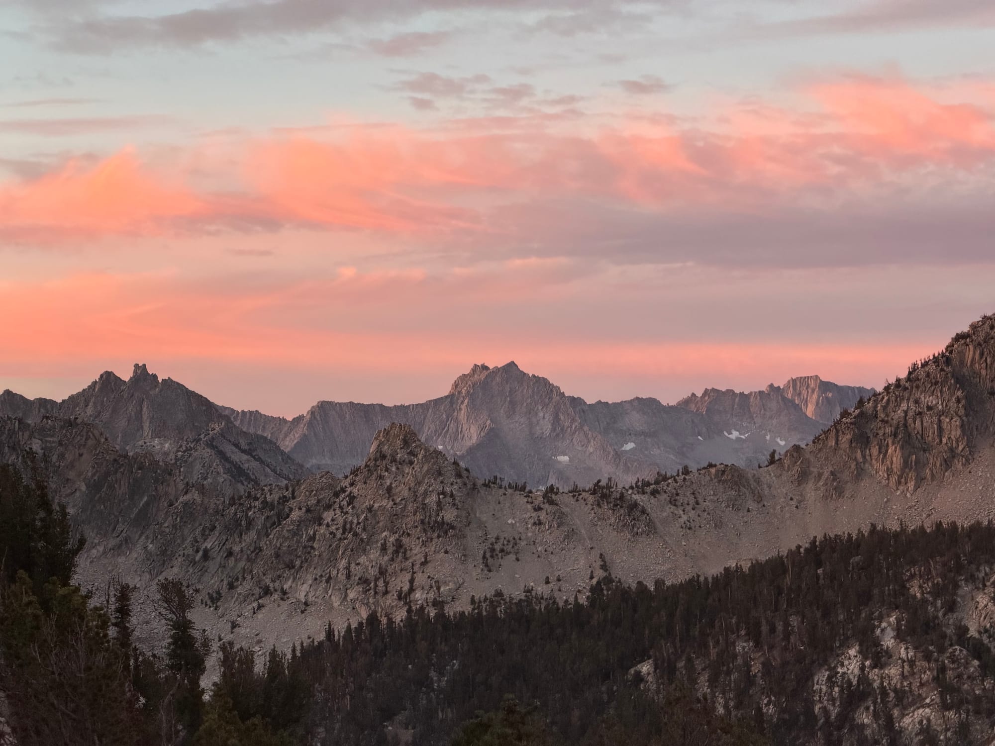
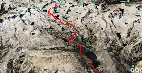
To me, Kearsarge Pass is the quintessential Eastern Sierra backcountry pass into the high-country. Its history as a native trading route, ease of travel, and prime/central location make this a trail that I intend to be stomping around for the rest of my life. The views from the top of the pass on the way to the Charlotte Lake junction are some of the best in the entire range: Kearsarge Lakes, Kearsarge Pinnacles, Bullfrog Lake, Vidette Meadows, and the ridge containing Mt. Bago, Mt. Farquhar, and Mt. Brewer. Having made this pilgrimage many times, I feel no drop in enthusiasm as I descend from the pass into whatever fun stuff I'm about to get into. The general route this time ended up being Kearsarge Pass to Glen Pass, down to Rae Lakes for a quick photo opp, then over the trailed way into Sixty Lakes Basin to a lovely camp, up to Mt. Cotter, and then out via Rae Col, Glen Pass, and Kearsarge Pass.
On previous trips, I have gone into Sixty Lakes Basin to attempt to get over Sixty Lakes Col to explore the Gardiner Basin. That failed when I bruised a rib and couldn't really breathe correctly. We ended up just hauling quartz that we found in a small quarry back to the car and calling that a win. Another time, we went up and over Gardiner Pass to get into Gardiner Basin from the west, which we turned back from when we decided pressing our luck on Gardiner Creek wasn't in our best interest with limited time, so we decided on just enjoying a day at Charlotte Lake instead.
This time around was my 35th birthday, being celebrated with 5 of my best friends of all different mountain abilities and appetites. The plan was to spend 2 nights in Sixty Lakes Basin with one day to enjoy doing nothing at a lake and then the other day to enjoy in either the Gardiner Basin or summiting Mt. Cotter. This report will show how we ended up getting to the latter.
Day 1: Onion Valley over Kearsarge Pass and Glen Pass
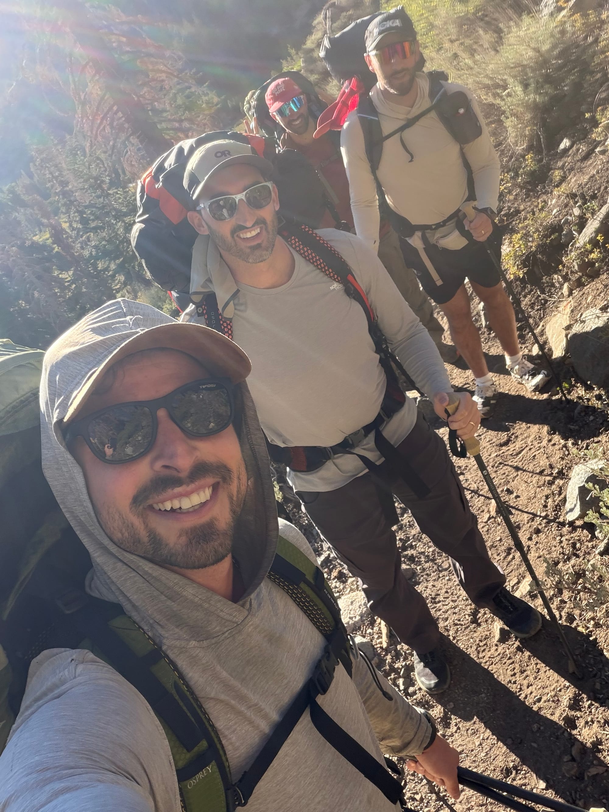
We got on the trail relatively early, around 7:45am from Onion Valley. I had envisioned 7:30am, so this was a win in my book. The boys were hyped, but we knew this would be a long and hard day. Virgin legs, packs full, and lungs not acclimatized facing 8-10 miles with 4500 feet of gain, mostly spent above 10k feet— yikes!
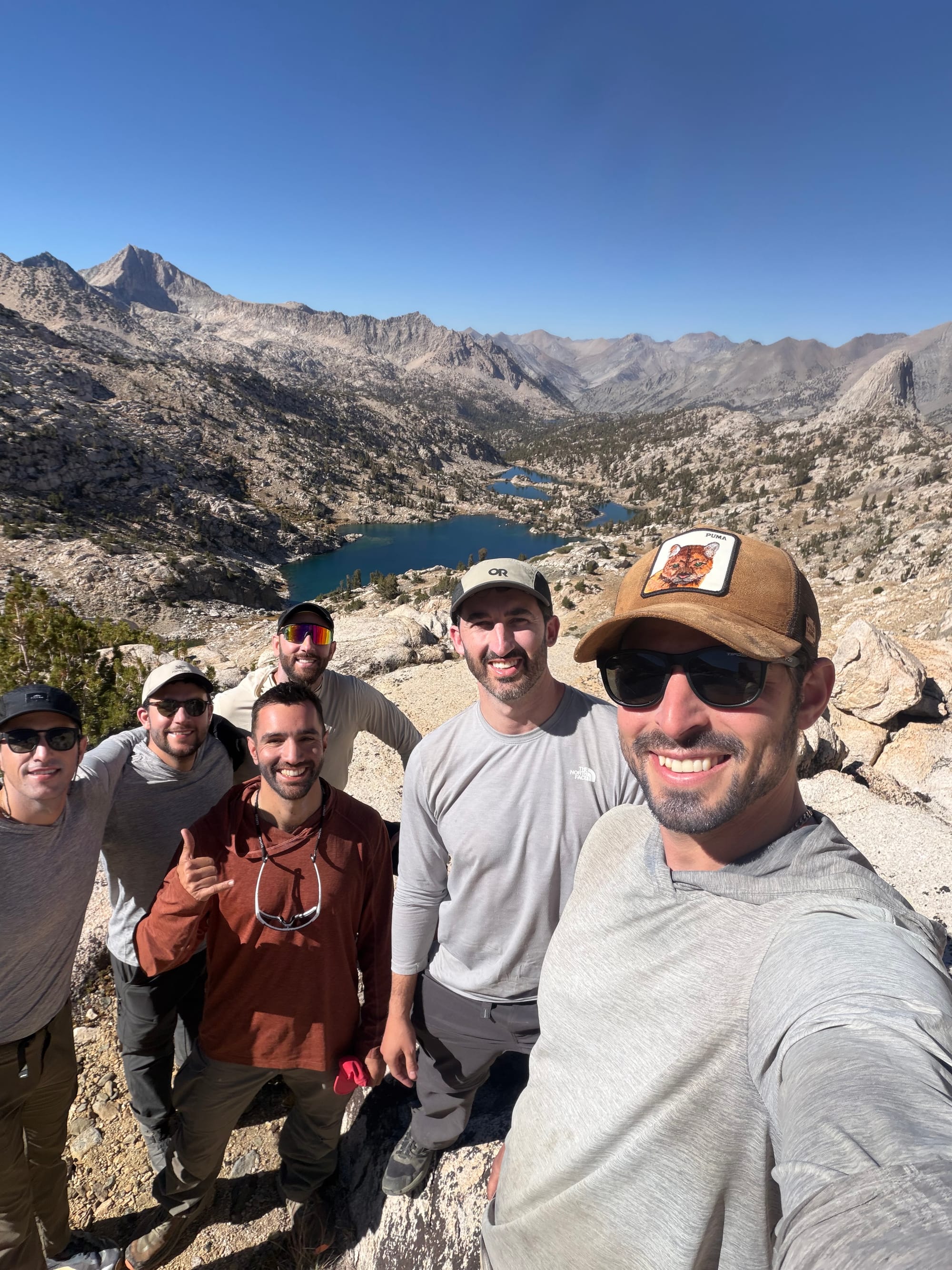
The views from Kearsarge Pass are incredible
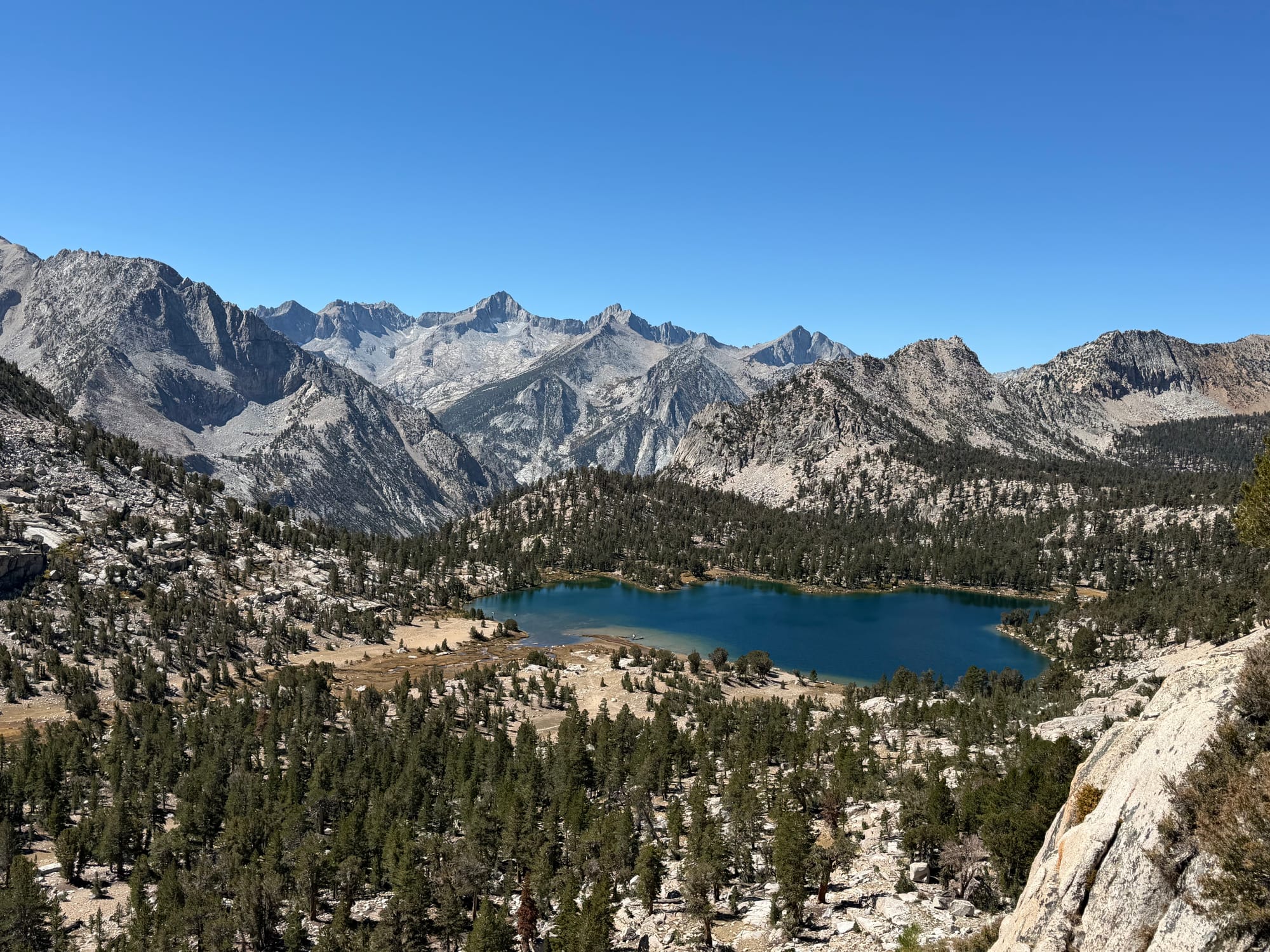
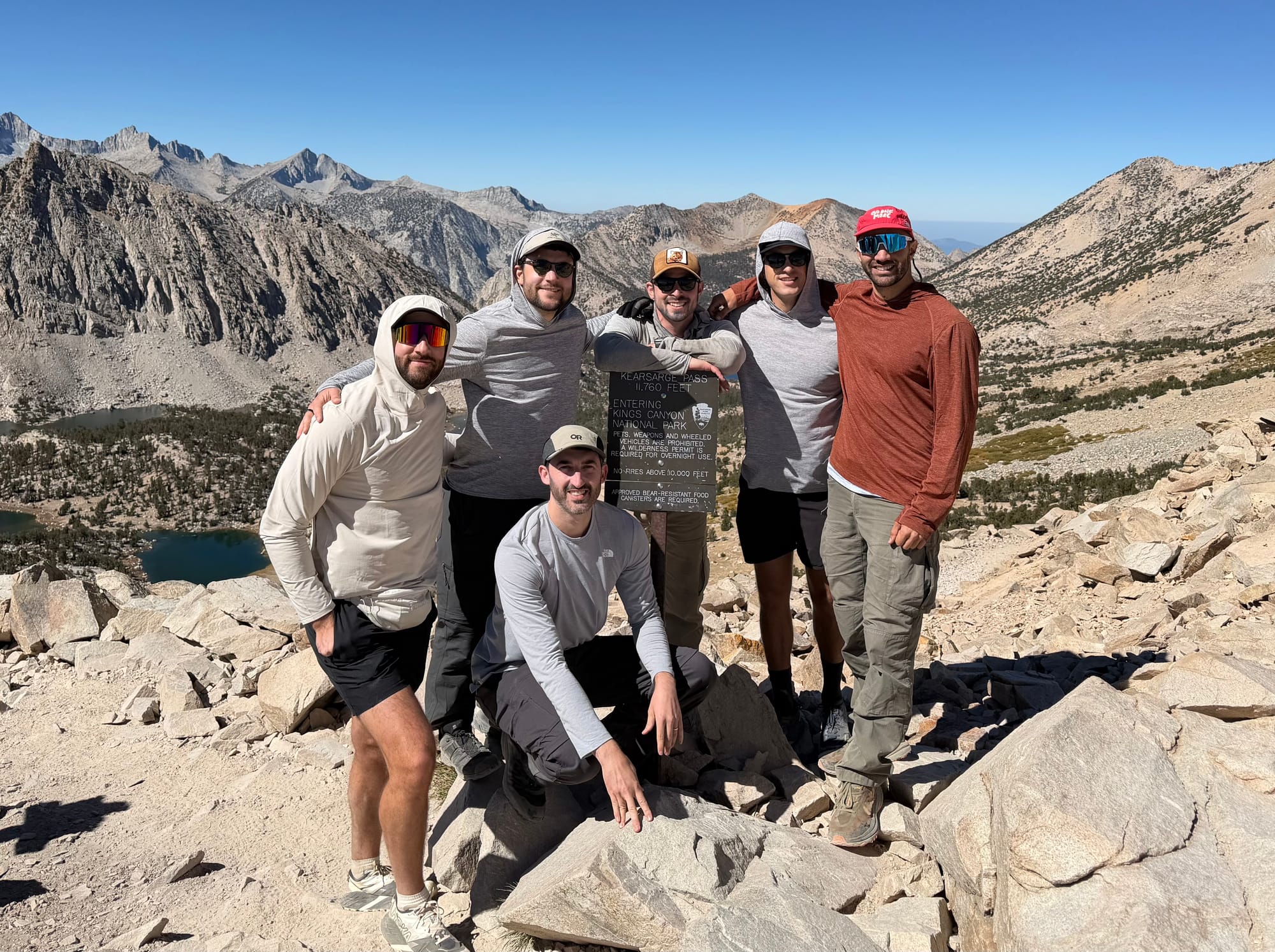
Kearsarge Pass is famously the easiest and most direct way into the backcountry and we were cruising, taking the 4.5 miles and 2500 feet of gain slowly. We made it to the top in 3 hours and soaked in the views. After a quick photo shoot, we were headed down towards the JMT junction that heads towards Glen Pass or Charlotte Lake. Given that it was my birthday, the boys entertained my repeated geography lessons where I would point out lakes, meadows, and peaks. Something had to land given how beautiful it was, but I appreciated their respect for my nerd-like love and knowledge for this pocket of the mountains.
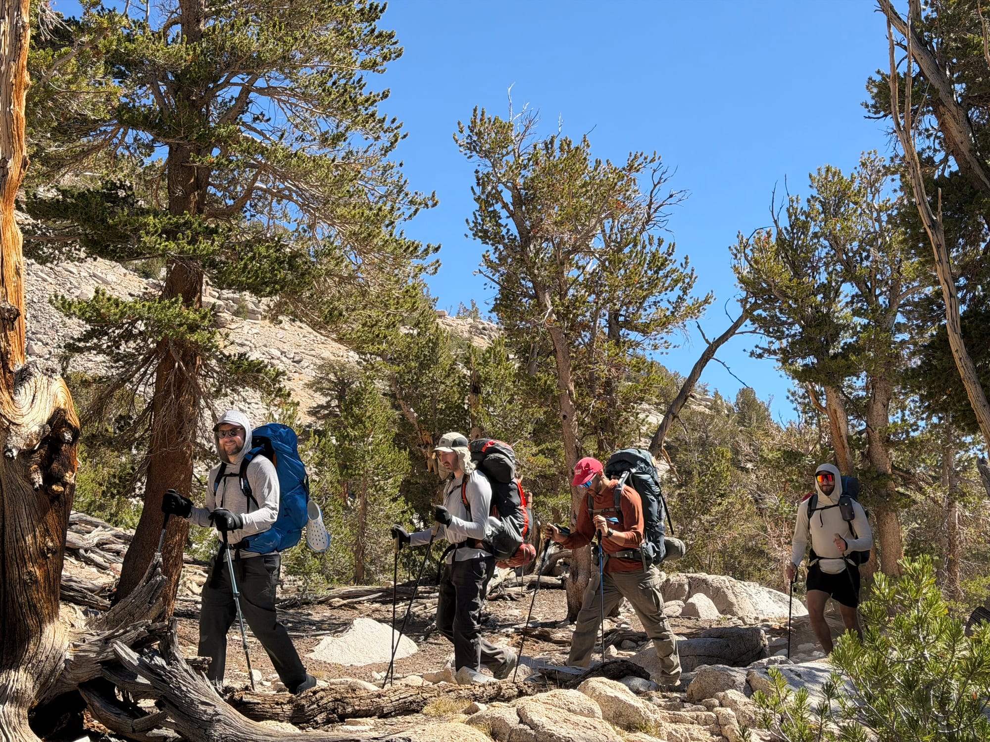
We descended to the trail junction which also is just about where the trail begins to gain elevation again, albeit slightly. We had only snacked up until this point and were also still working off just the 2 liters that we had left the car with. So it was at this point where the boys began to show signs of exhaustion. We figured that the best place for lunch would be our first water stop, which was the small tarn below the south side of Glen Pass. The boys were a bit cranky at this point, but the tuna tortillas, salami, candy, and full water bottles perked them right back up.
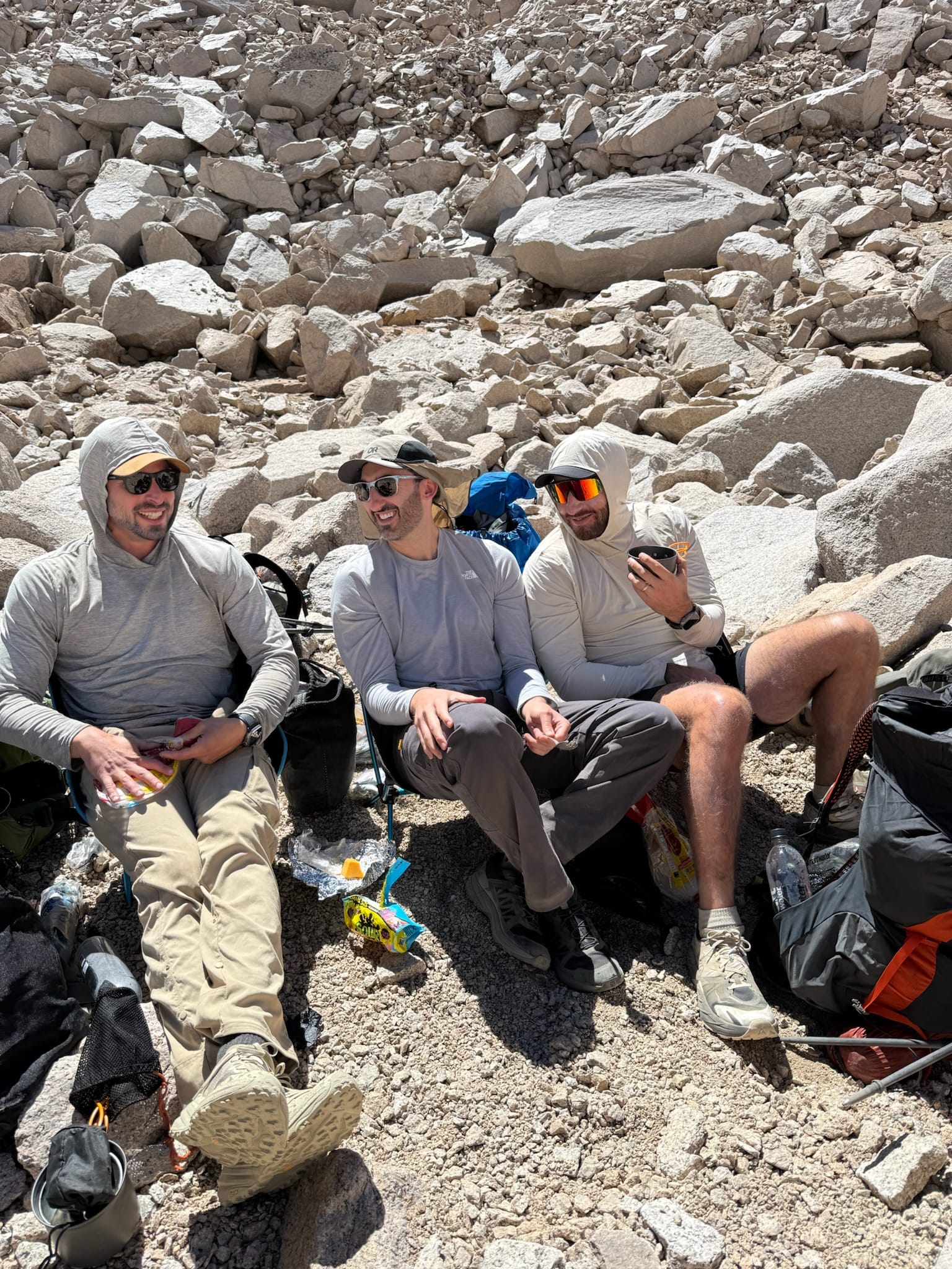
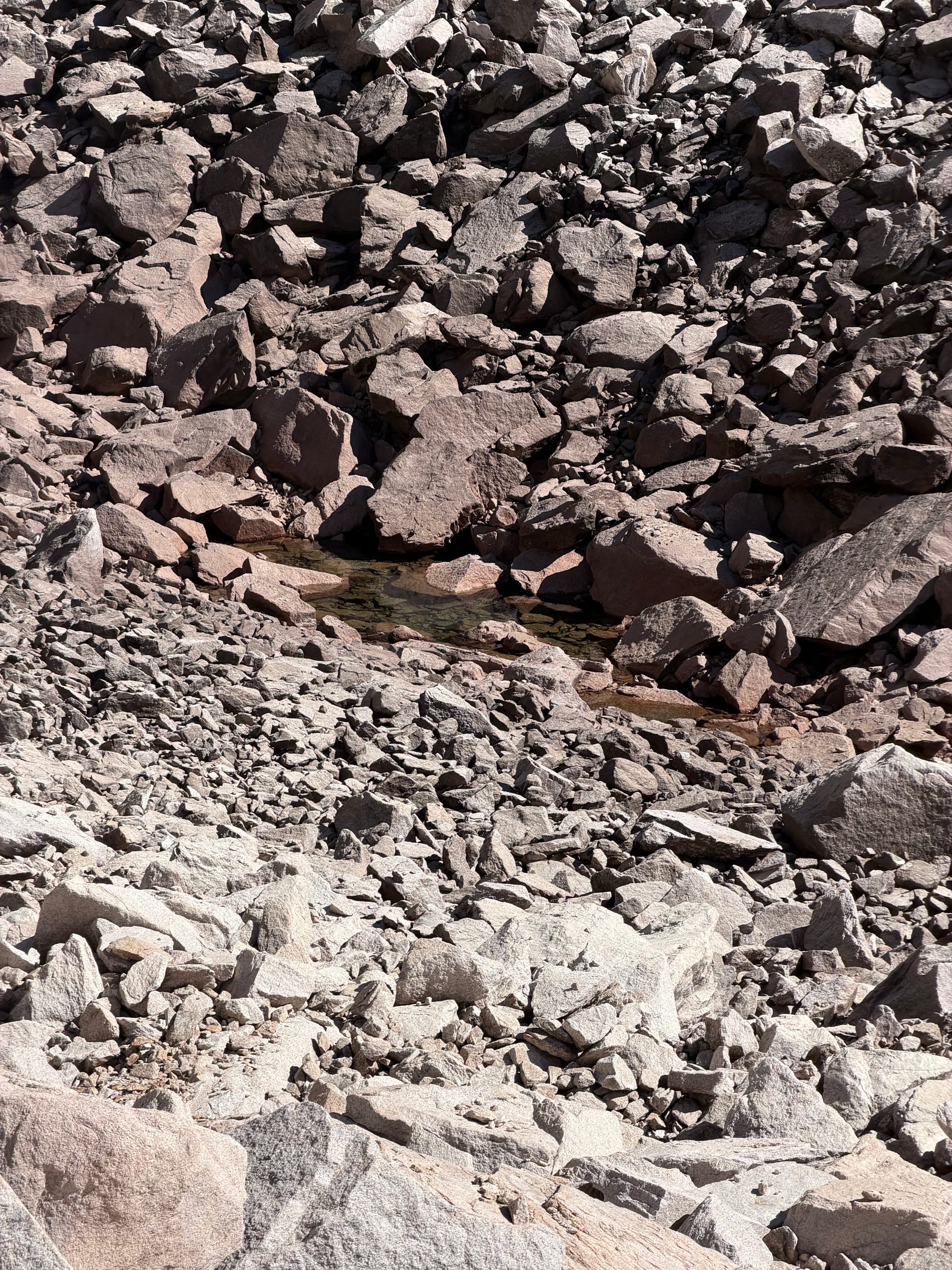
By the end of lunch it was just before 3pm and we had about 700 feet more of rather steep climbing up the south side of Glen Pass. Everyone huffed and puffed, and we were up at the top by 4pm.
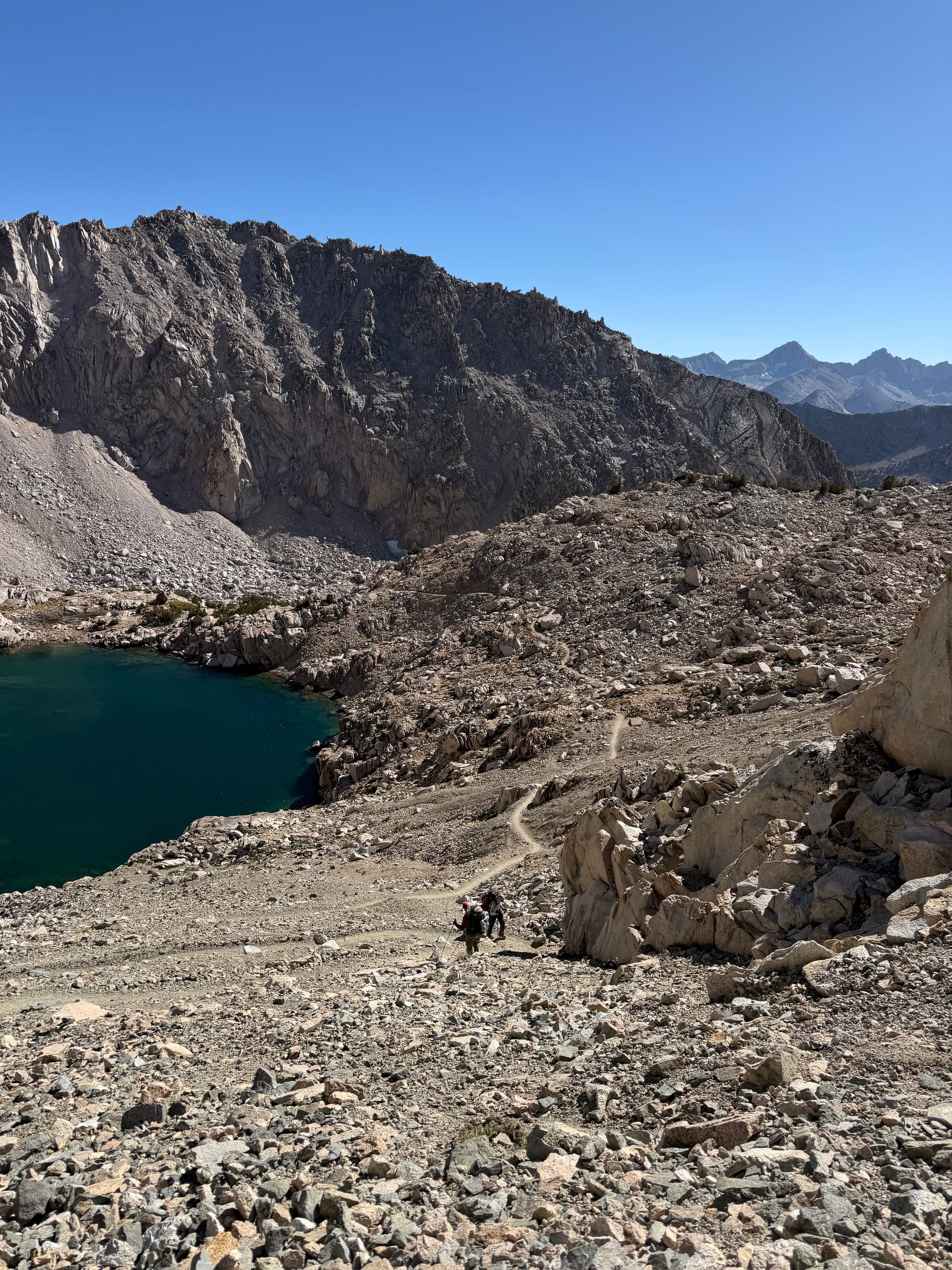
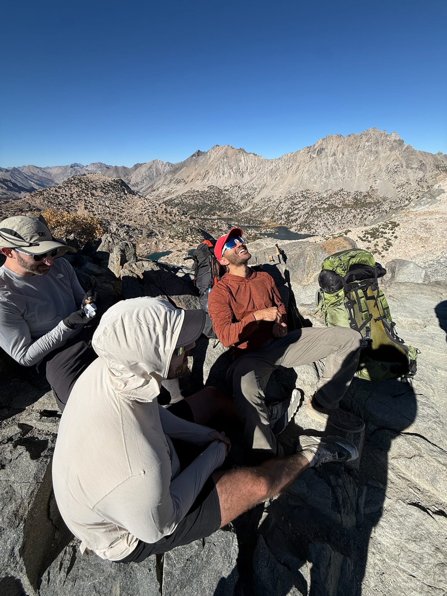
After hitting our second pass of the day, we were all thinking about our next decision: where to aim for camp. The first option of heading over Rae Col directly into Sixty Lakes was ruled out given the time, our pace, and everyone's level of exhaustion. The second option was to go into the Rae Lakes Basin and find camp there, but that didn't seem appetizing to us given the crowds that we would encounter. The stream of hikers on Glen Pass turned us off to going anywhere that had a lot of people. That meant that the lakes just off the trail that sit at about 11.3k feet between the pass and Rae Lakes Basin would be our best bet for wet camping, and after searching for a spot that could hold all of our tents, we found something that we all loved. It was early, but we set everything up and enjoyed sitting around the lake, having a few drinks, and making dinner.
Camp 1
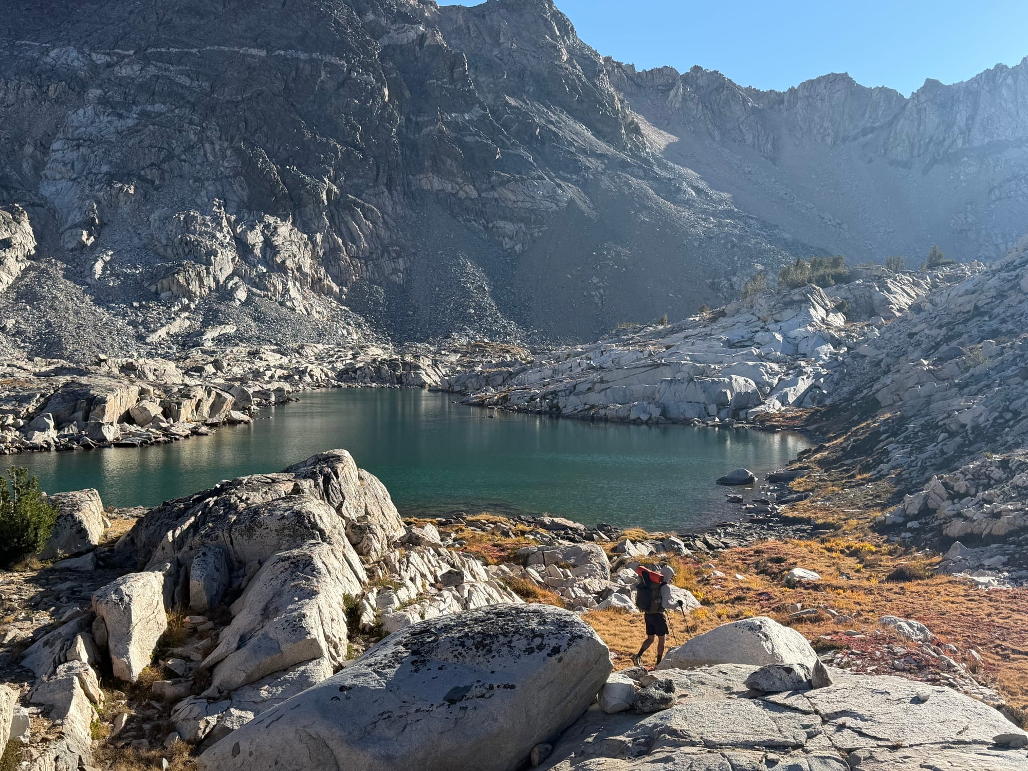
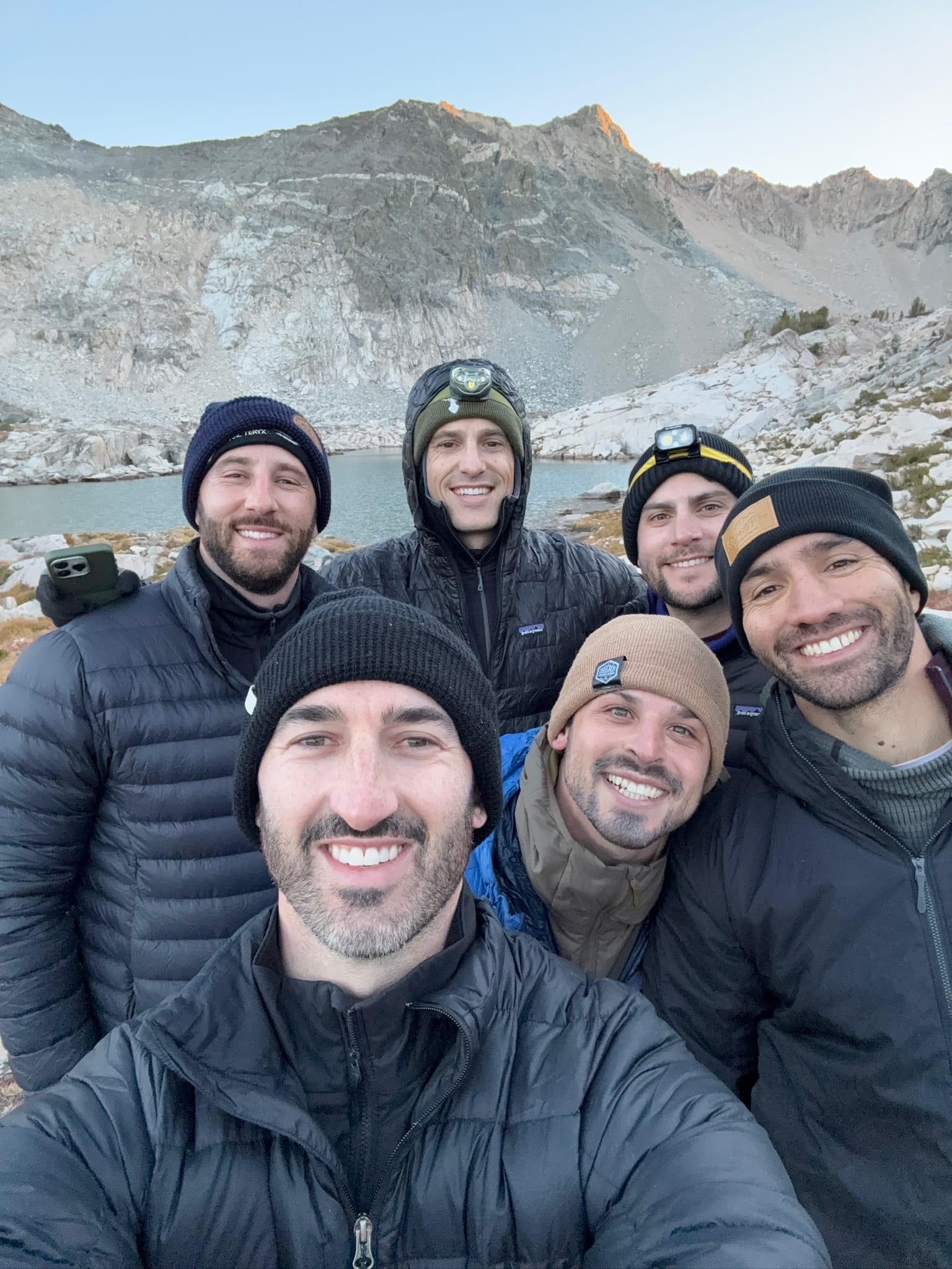
The rest of the night was spent messing around, continuing to drink, and getting to bed relatively early after a tough 8-mile day.
Day 2: Rae Lakes and into Sixty Lakes Basin
We all woke up with the same assessment: that night was insanely cold. No one slept great, our water was partially frozen, and we were sore from yesterday's hike. Today was meant to be light anyways, made a little heavier since I pushed a detour through Rae Lakes so the boys could see this incredible Sierra destination.
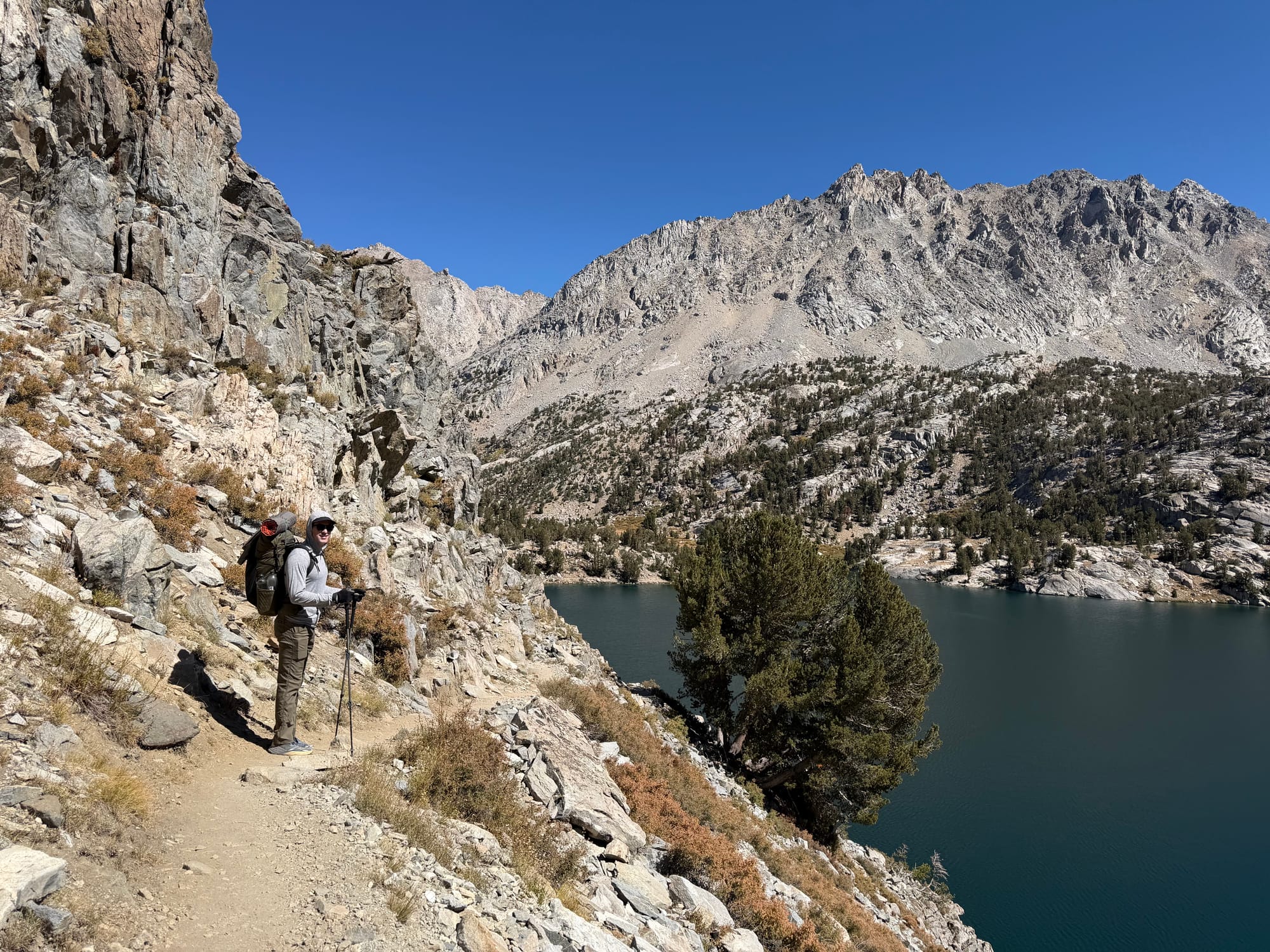
We enjoyed the morning in camp, getting up late and getting ready slowly, not making it to Rae Lakes until about 11:40am. As always, Rae Lakes shines as one of the most beautiful basins in the range. For those unfamiliar, Rae Lakes is a chain of island-dotted lakes strung along the JMT beneath Fin Dome and the Painted Lady, and the centerpiece of the famous Rae Lakes Loop. The area is arguably the Sierra's most popular backpacking destination and I believe it is earned: huge granite walls on every side, water in every direction, and that postcard view of Fin Dome rising off the middle lake. We chilled and took photos and began our hike into Sixty Lakes Basin, turning up the trail that goes over the divide between the basins. This was a slow ascent, making it to the beautiful lake at the summit about an hour later.
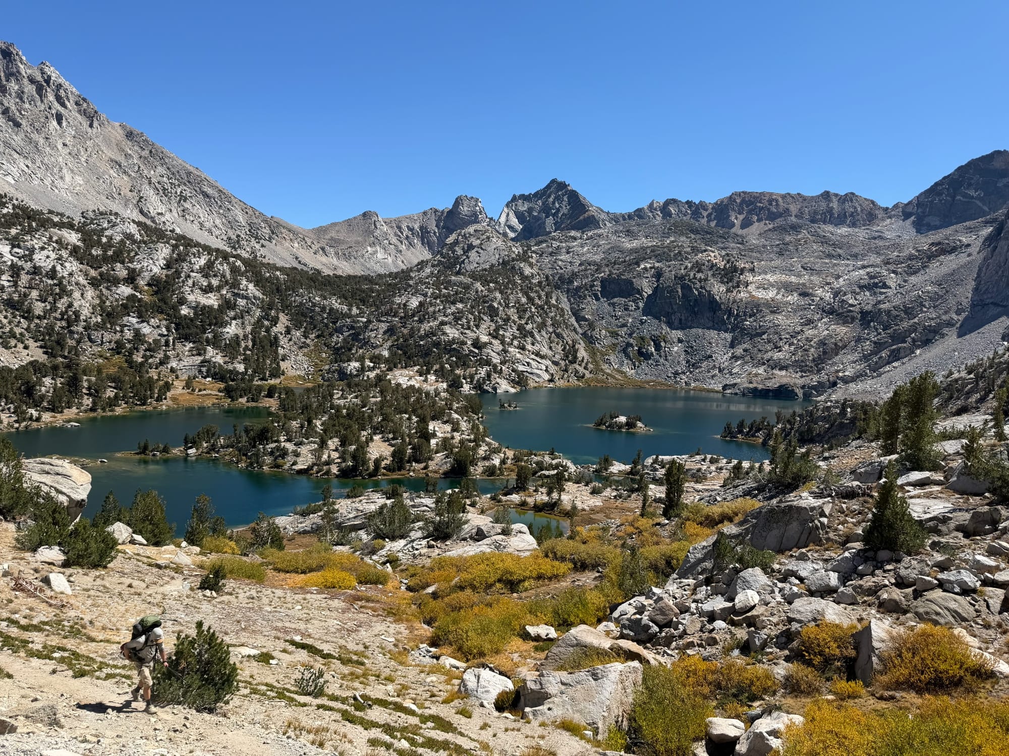
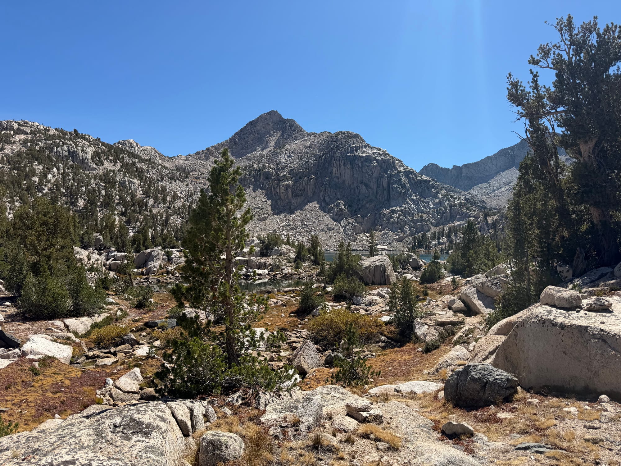
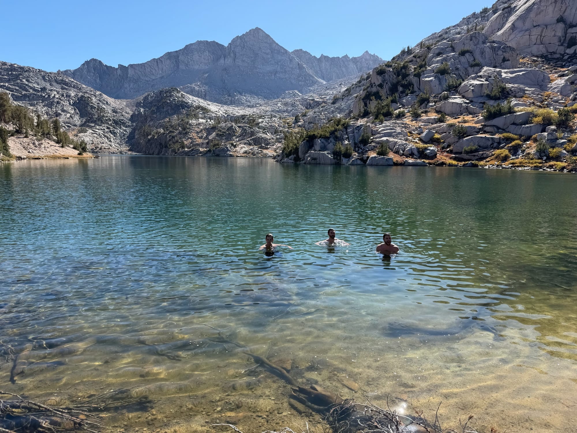
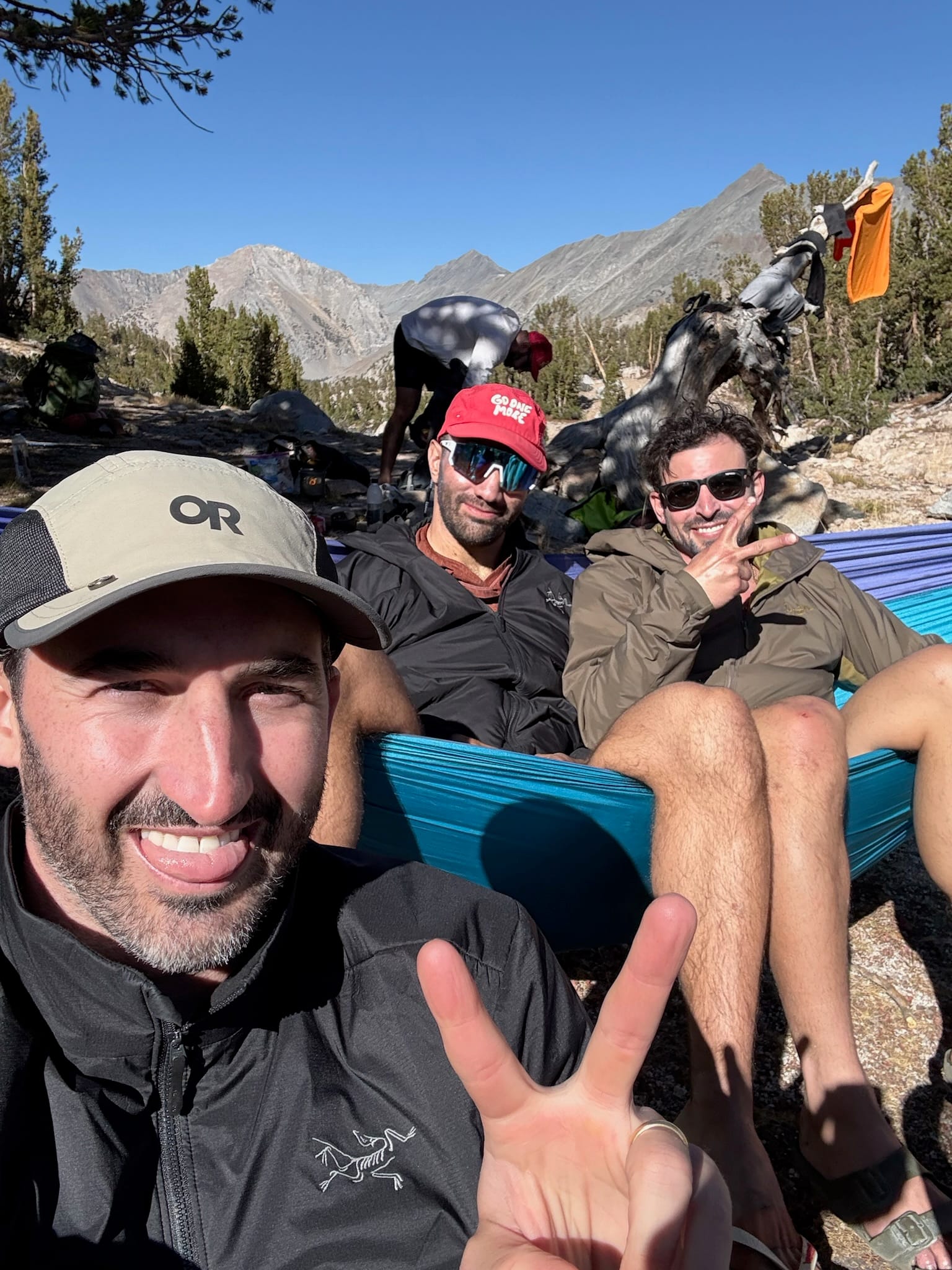
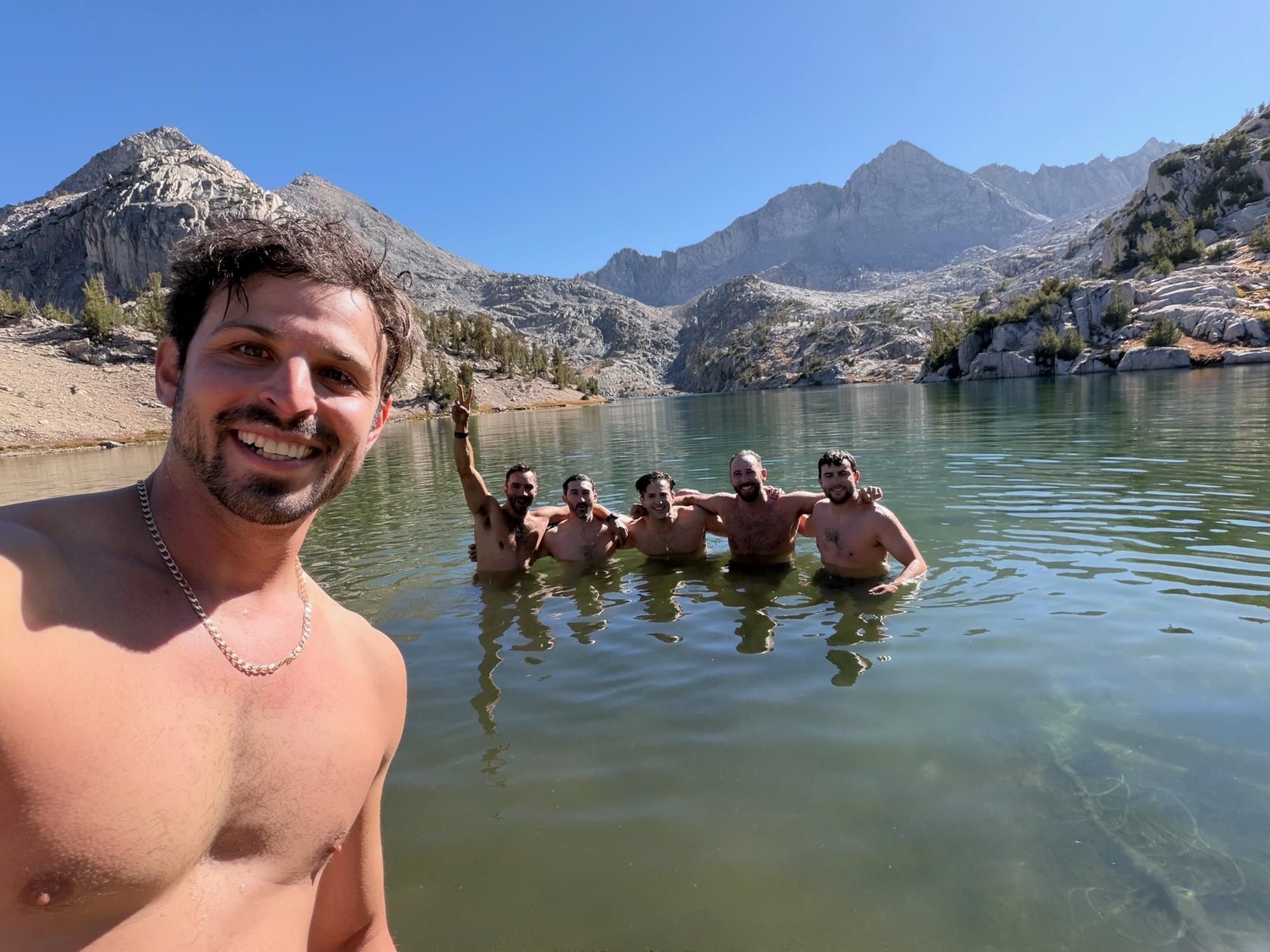
We spent the next hour descending into Sixty Lakes Basin, and while there were calls to stop and find the first camp, I knew that we would want to check the long lake in the southwest pocket of the basin given some advice I had received, so I pushed. Sixty Lakes Basin sits one divide west of Rae Lakes and feels like its private backyard. Similar to its neighbor, there are dozens of beautiful lakes, creeks, and tarns scattered beneath Mt. Cotter and Mt. Clarence King but most importantly, it receives a fraction of the foot traffic since it sits just off the JMT corridor. It's the kind of place where you can have an entire lake to yourself while the crowds march over Glen Pass a couple miles away. I let the boys take a break and went out with Cheech to explore further and find camp. After about 10 minutes, we hit the jackpot: a huge and secluded spot right on the water with an outstanding view. Everyone was there with packs off by 2:30pm, where we then settled into a lake day for the rest of the afternoon and evening.
Day 3: Summiting Mt. Cotter, then out over Rae Col and Glen Pass
We decided as a group on Day 3 we would need to make inroads back to Onion Valley so as to not make Day 4 too long. It became clear that Gardiner Basin was going to have to wait once again. However, I was adamant that I would be summiting Cotter in its stead. That meant that I would be getting up early to hit the summit in order to get back to camp at a reasonable time so that I could rest, eat lunch, and we could continue up and over Rae Col and Glen Pass before sunset as to avoid setting up camp in the dark. That's a big day of climbing but I was excited at the prospect.
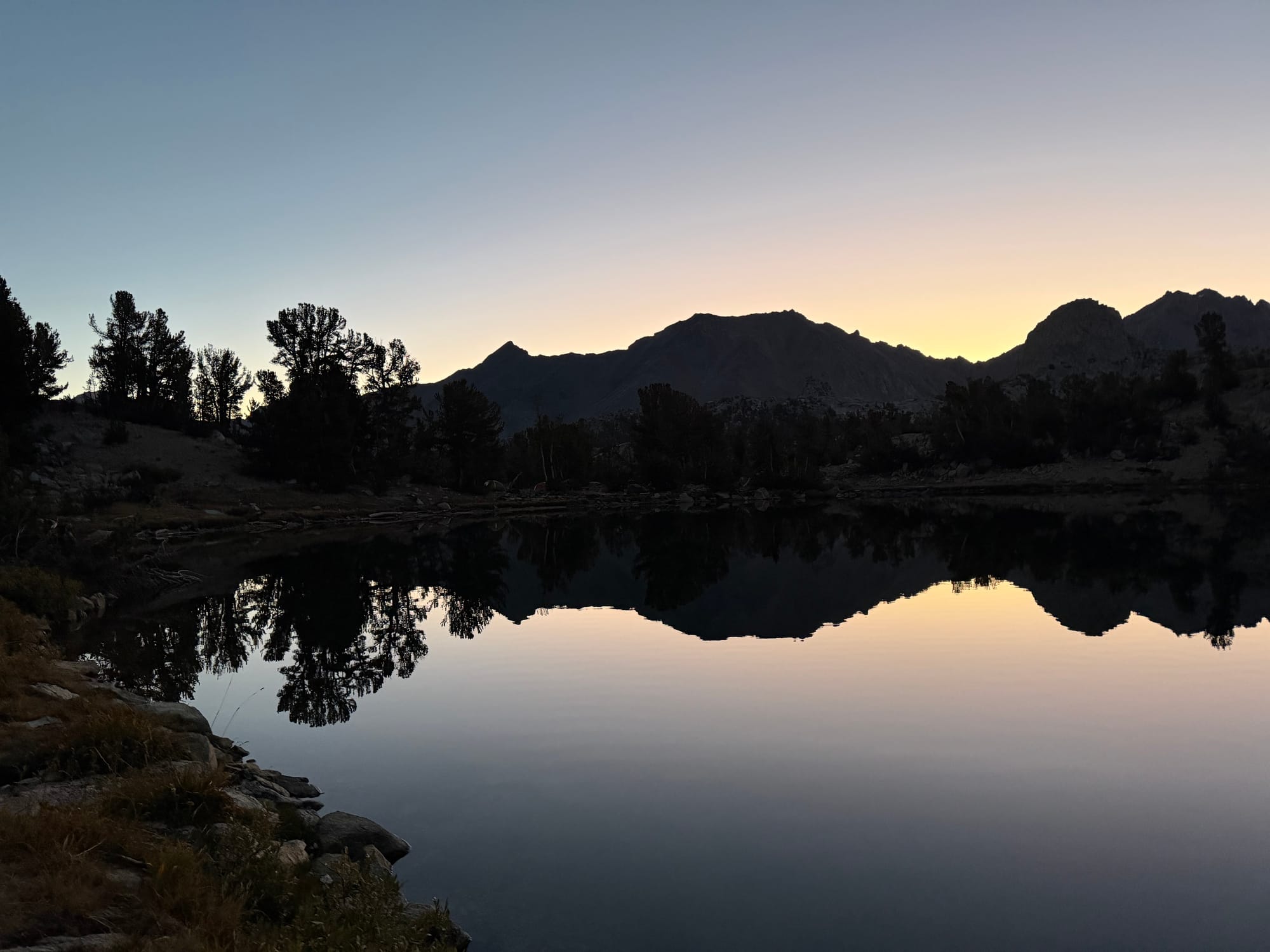
The night prior was eventful for most of the boys, staying up late having some fun, but I was passed out by 10pm for a sunrise wake up. My original plan was to wake up at 6am, but I was up to use the bathroom at 4:45am and thanks to the sound of Ofek snoring, I decided against going back to sleep and was on the trail by 6:15am.
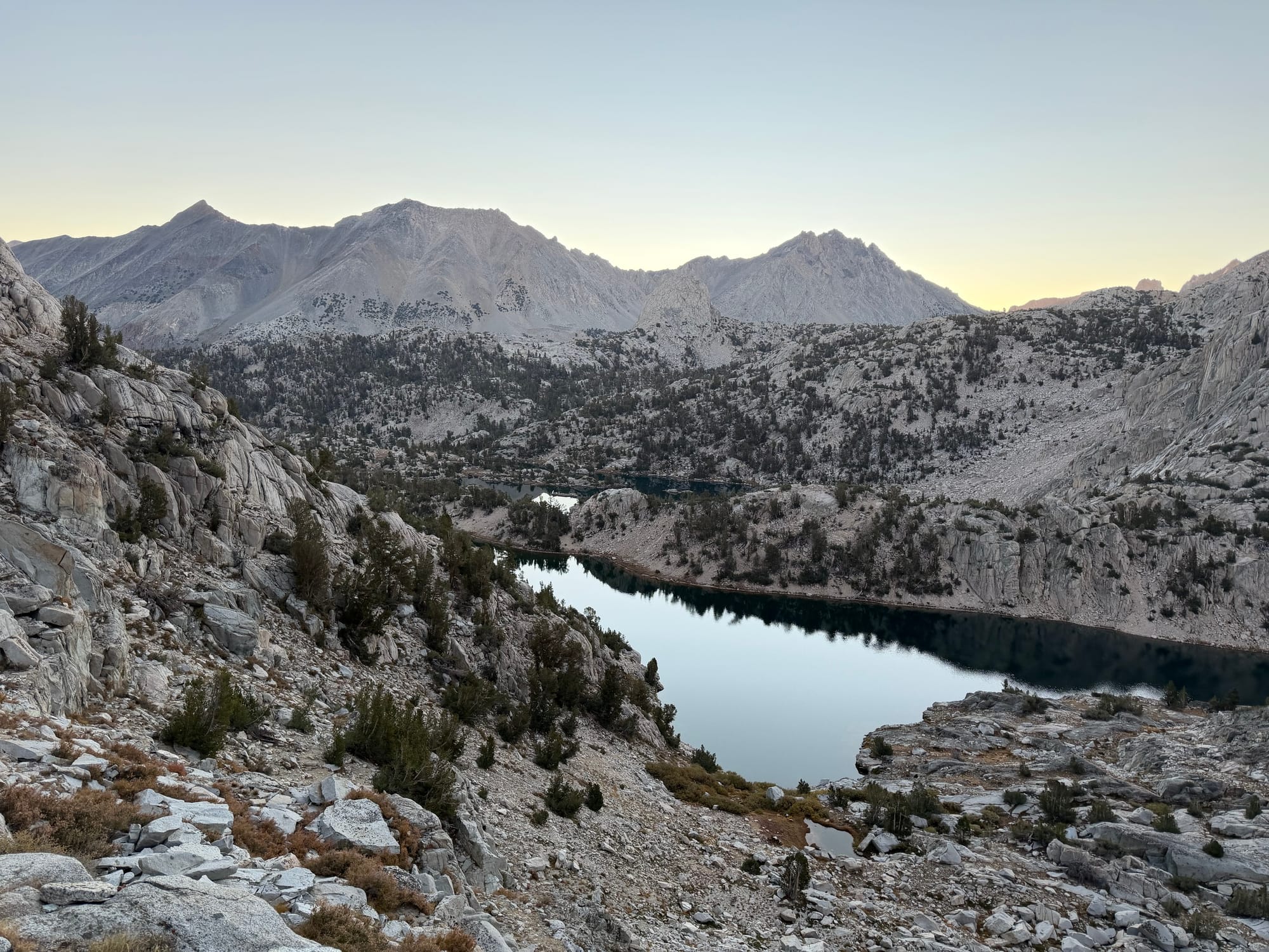
To summit Cotter, I took the use trail from camp along the lake for about half a mile and slowly began to gain elevation. The going was steep at first but I felt confident in my lines and consistently was able to find the best routes. The climb is broken up into two sections, as once you crest the first steep cliff, there is a large flat plateau where you then climb up to the top of the ridge that leads to the summit.
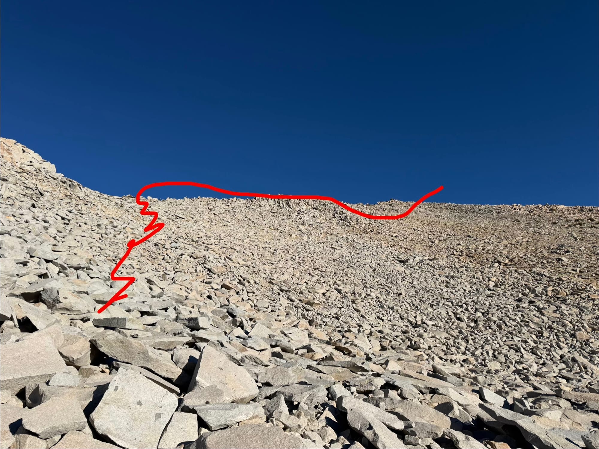
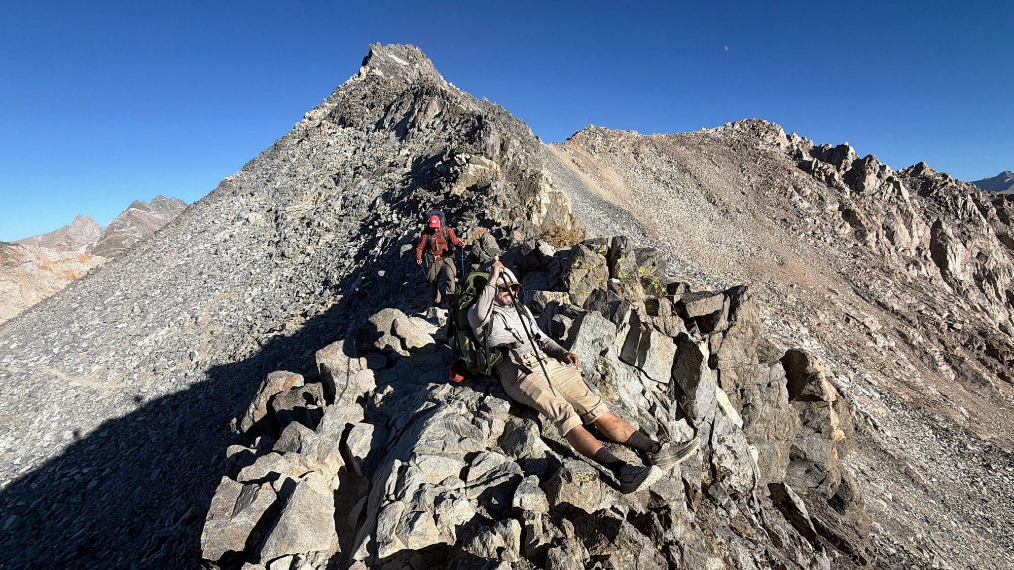
The ridge to the summit is fun and simple scrambling up until the last ~125ish feet, where it requires a few class 3 moves to get to the top, with a few presenting some exposure that I could see as rattling some people.
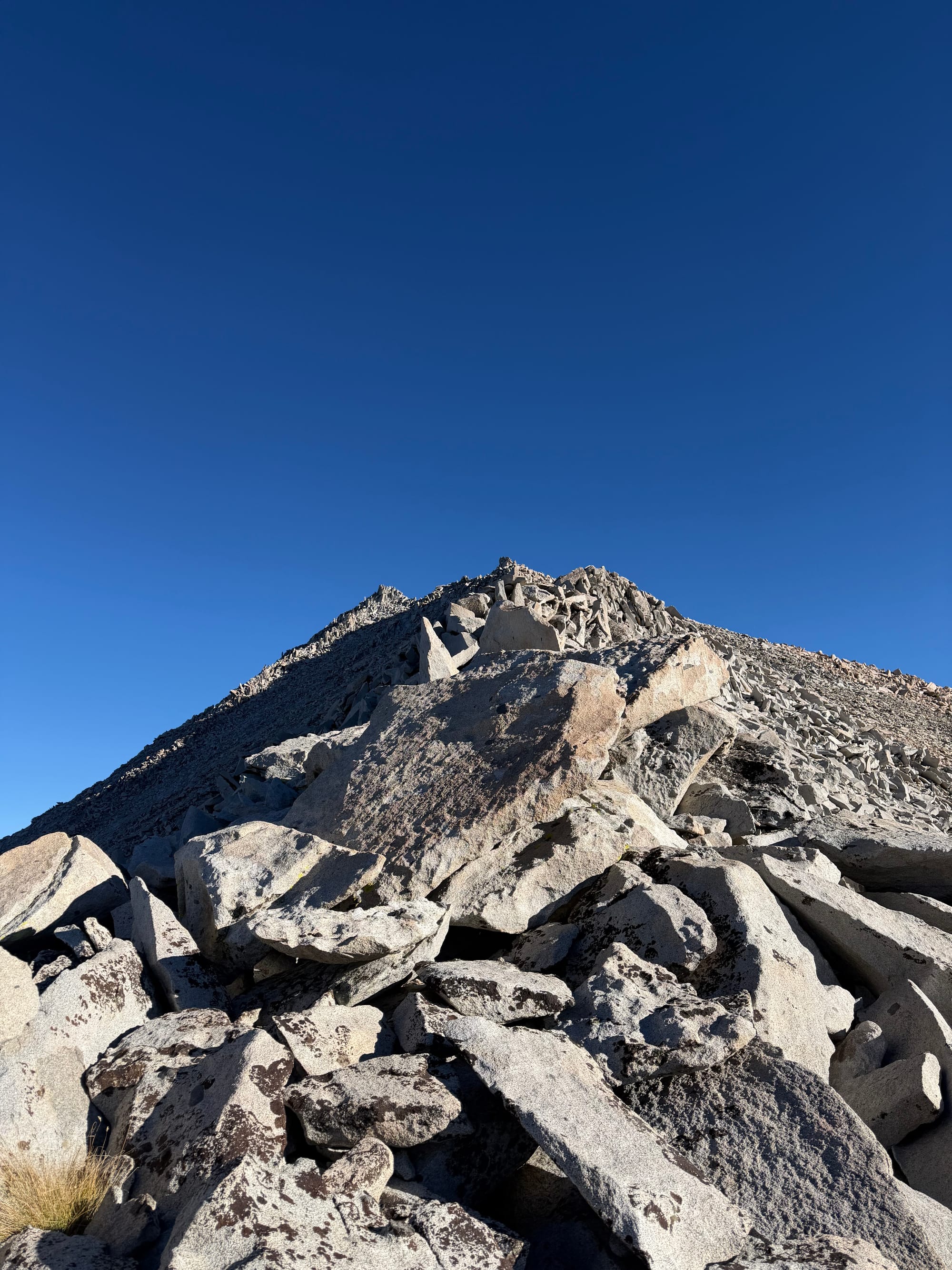
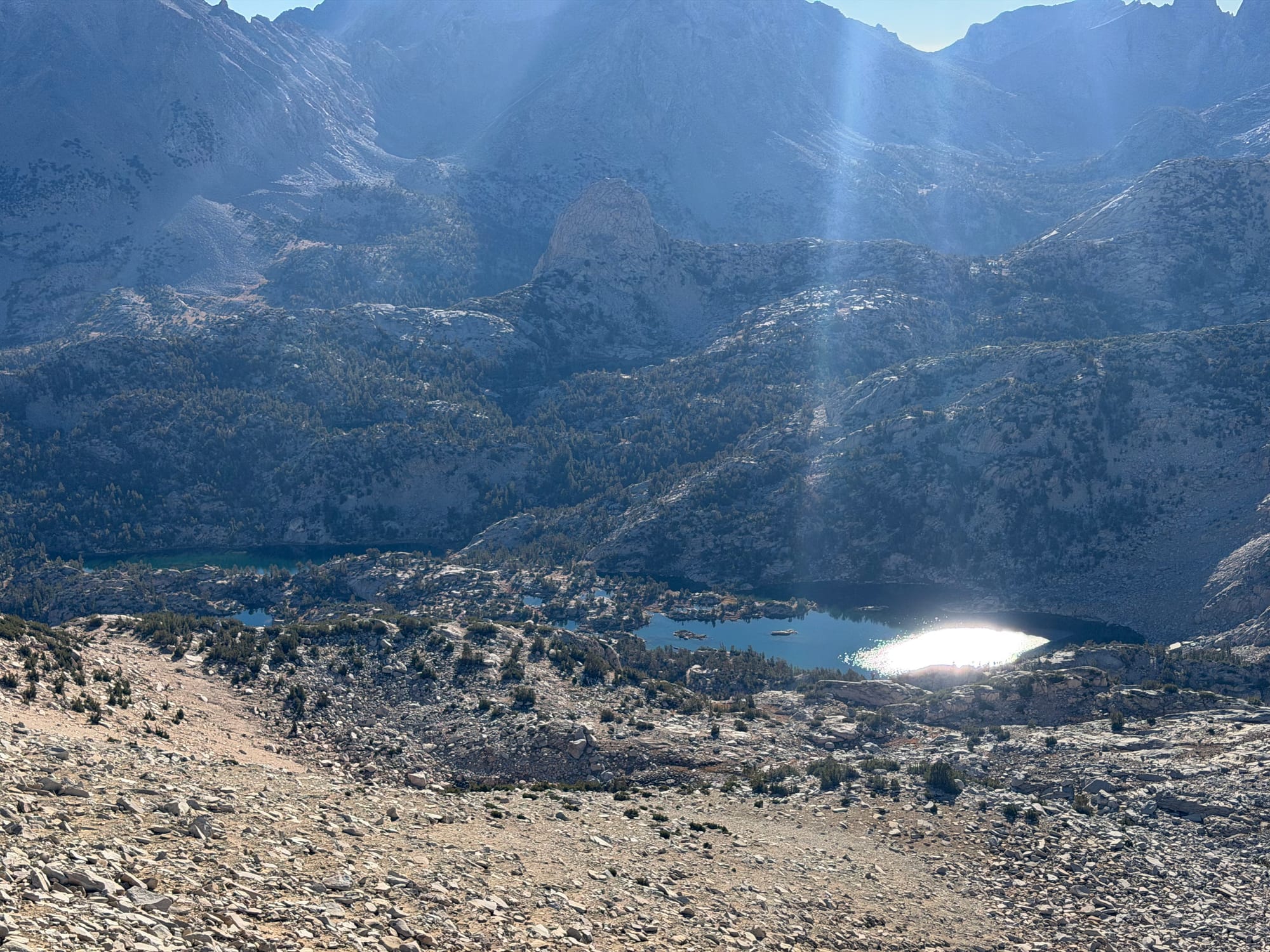
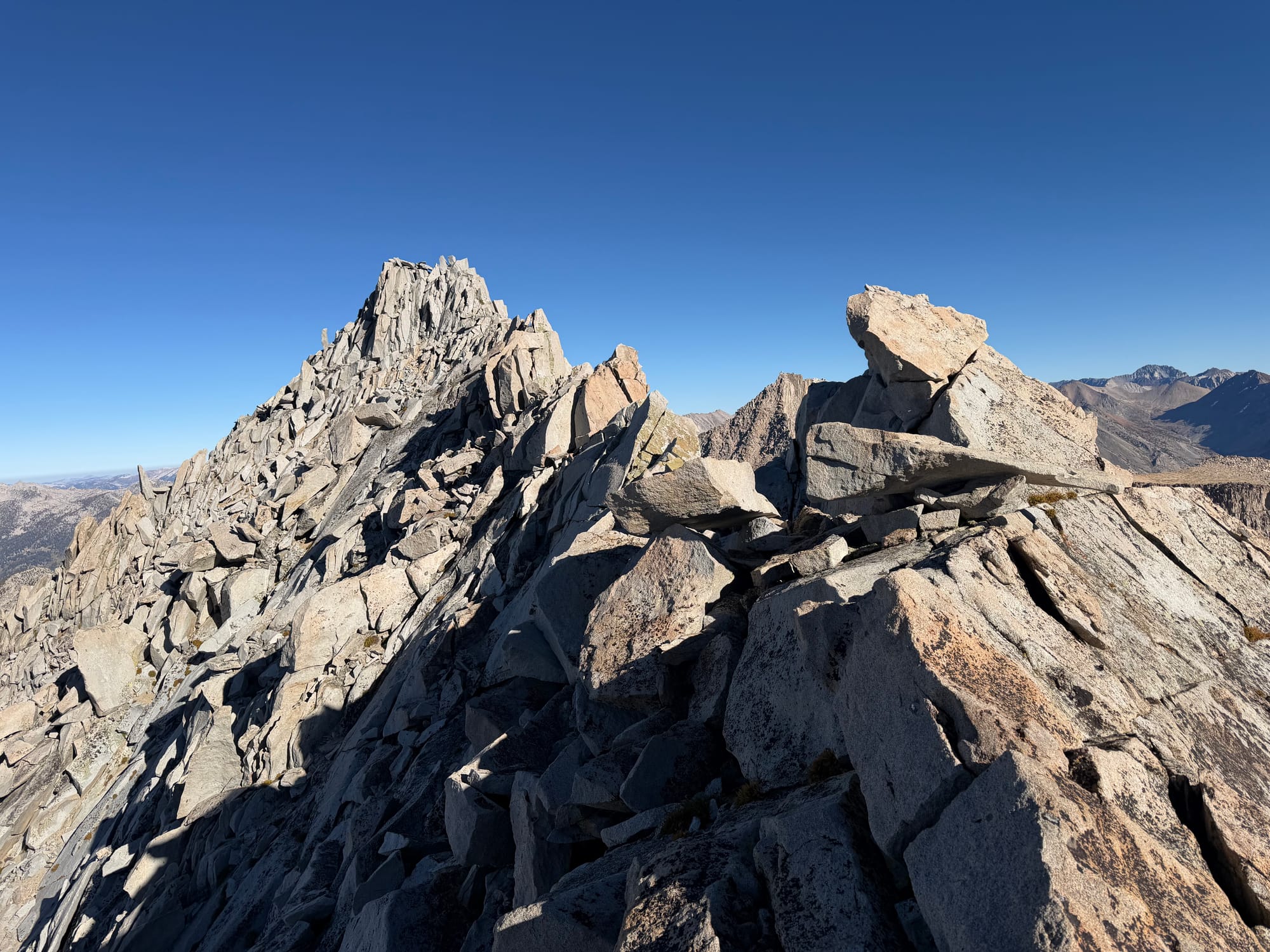
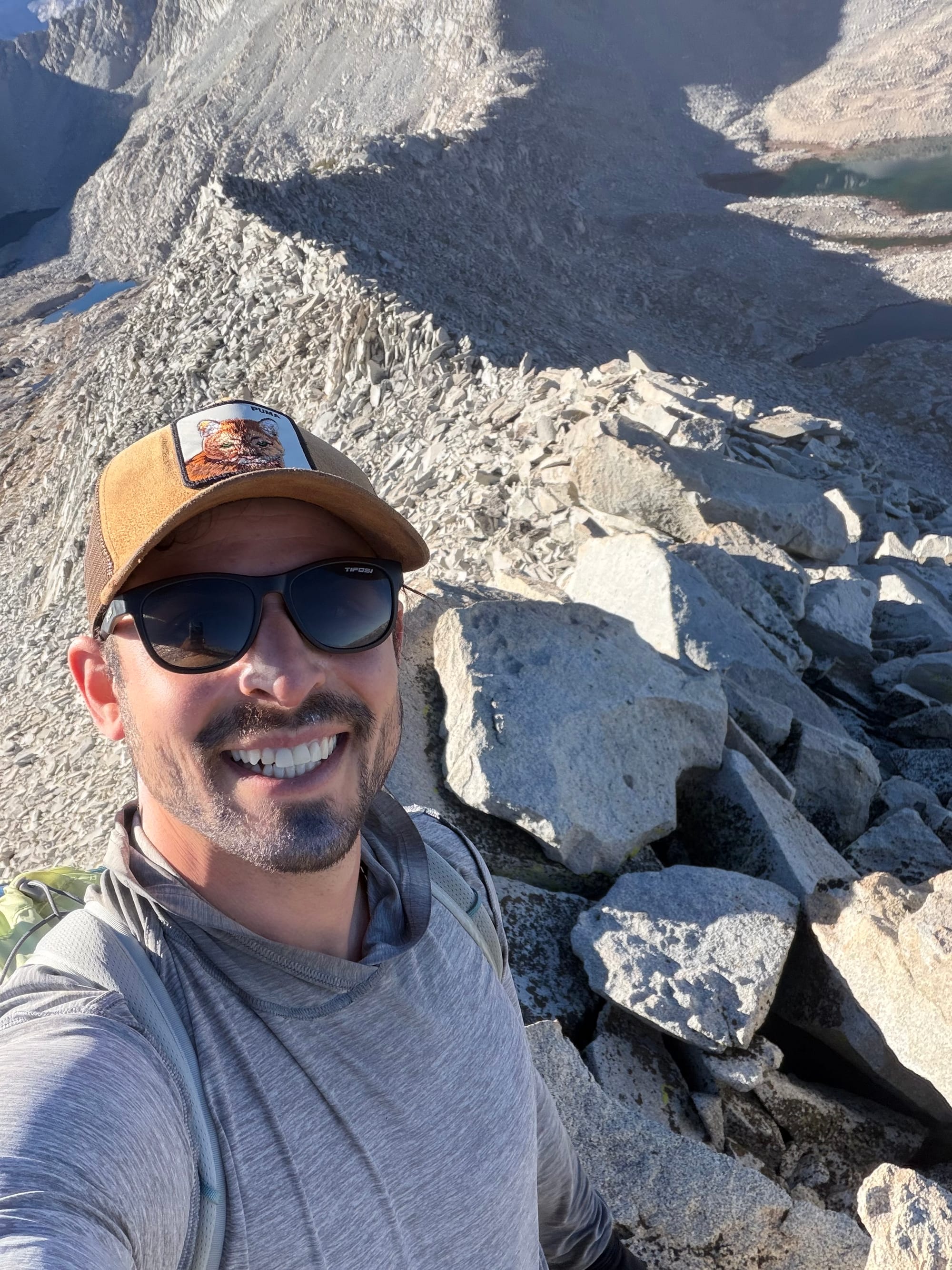
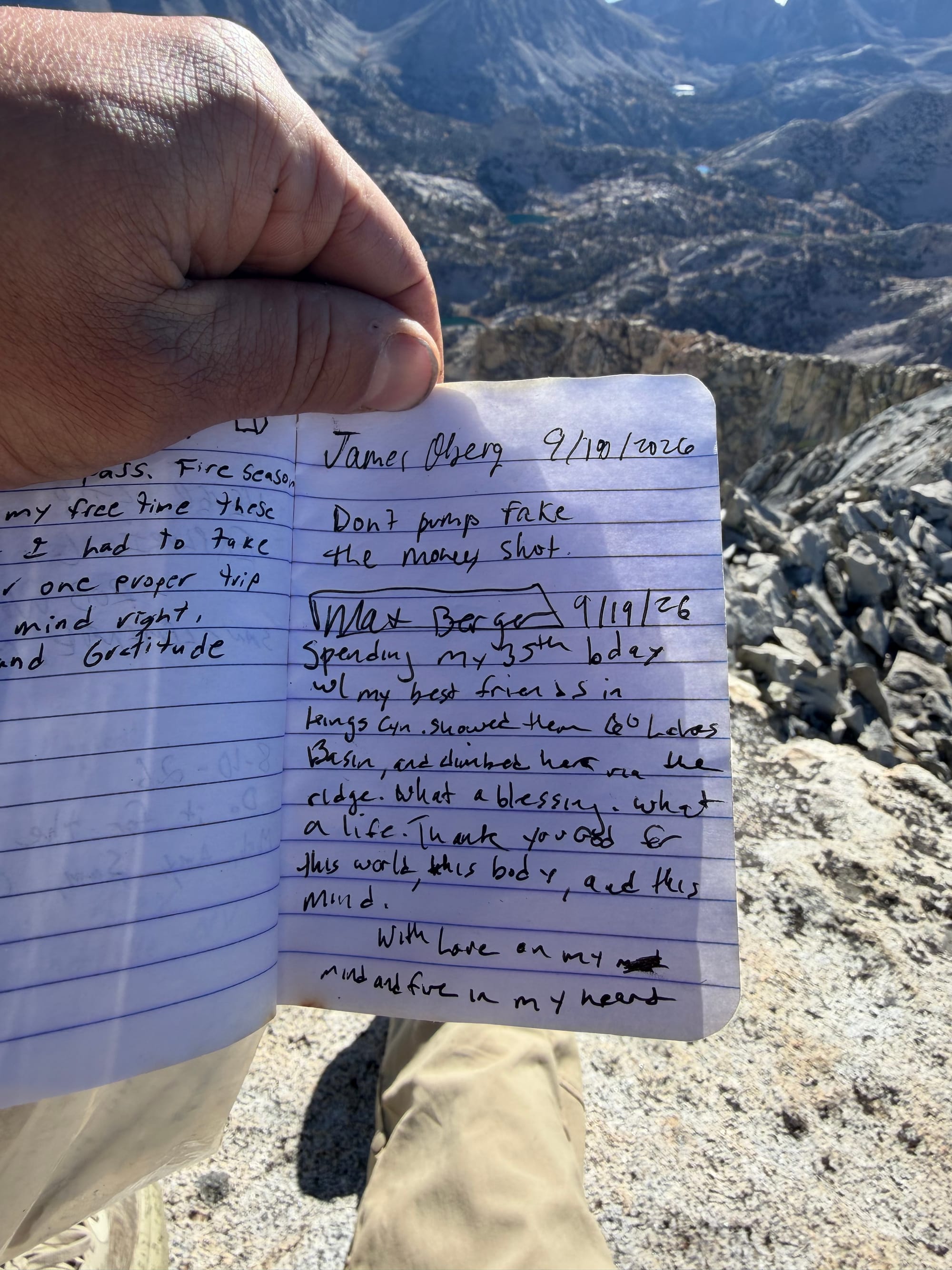
The climb to the top from camp was about 1.5 miles and 2000 feet, rather steep in my book with an excessive amount of deep pistol-squats. By 7:15 I had crested the first steep phase and could see the ridge that would lead me to the top. By 8:15 I was on the ridgeline, and then I hit the summit at exactly 9:14am. I spent 25 minutes at the top, soaking in the views, writing in the register, and letting my emotions overcome me via a wave of gratitude for my friends, mind, body, and soul. I feel a deep connection to the world and my loved ones when I'm alone on the top of a mountain, and always get a bit teary eyed when I am up there thanking everyone and everything for this beautiful place we call earth.
Summit of Mt.Cotter!
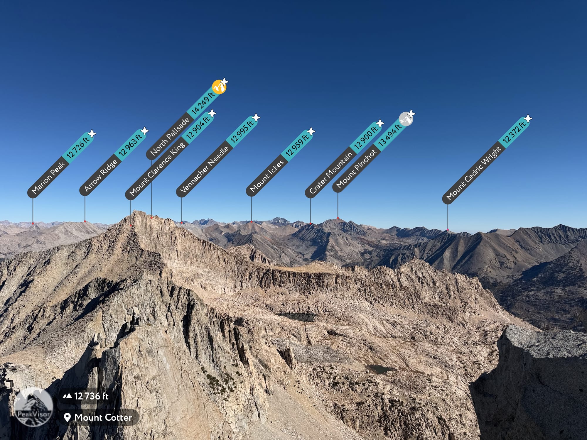
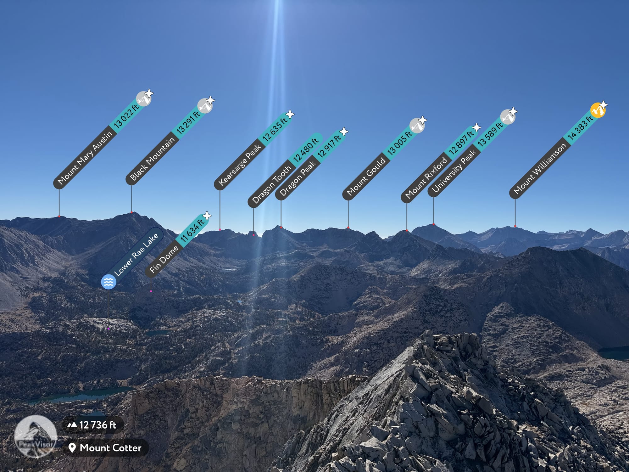
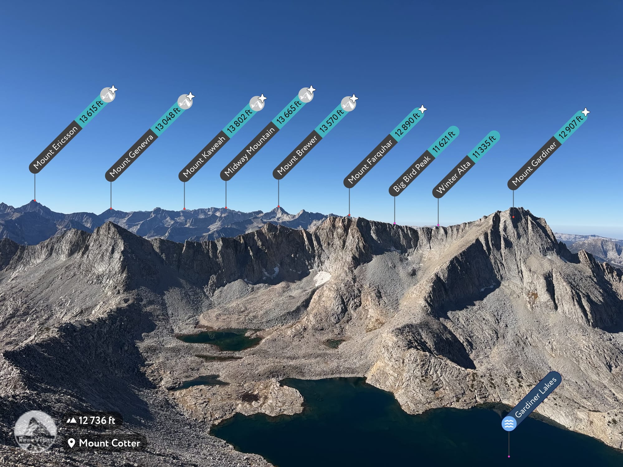
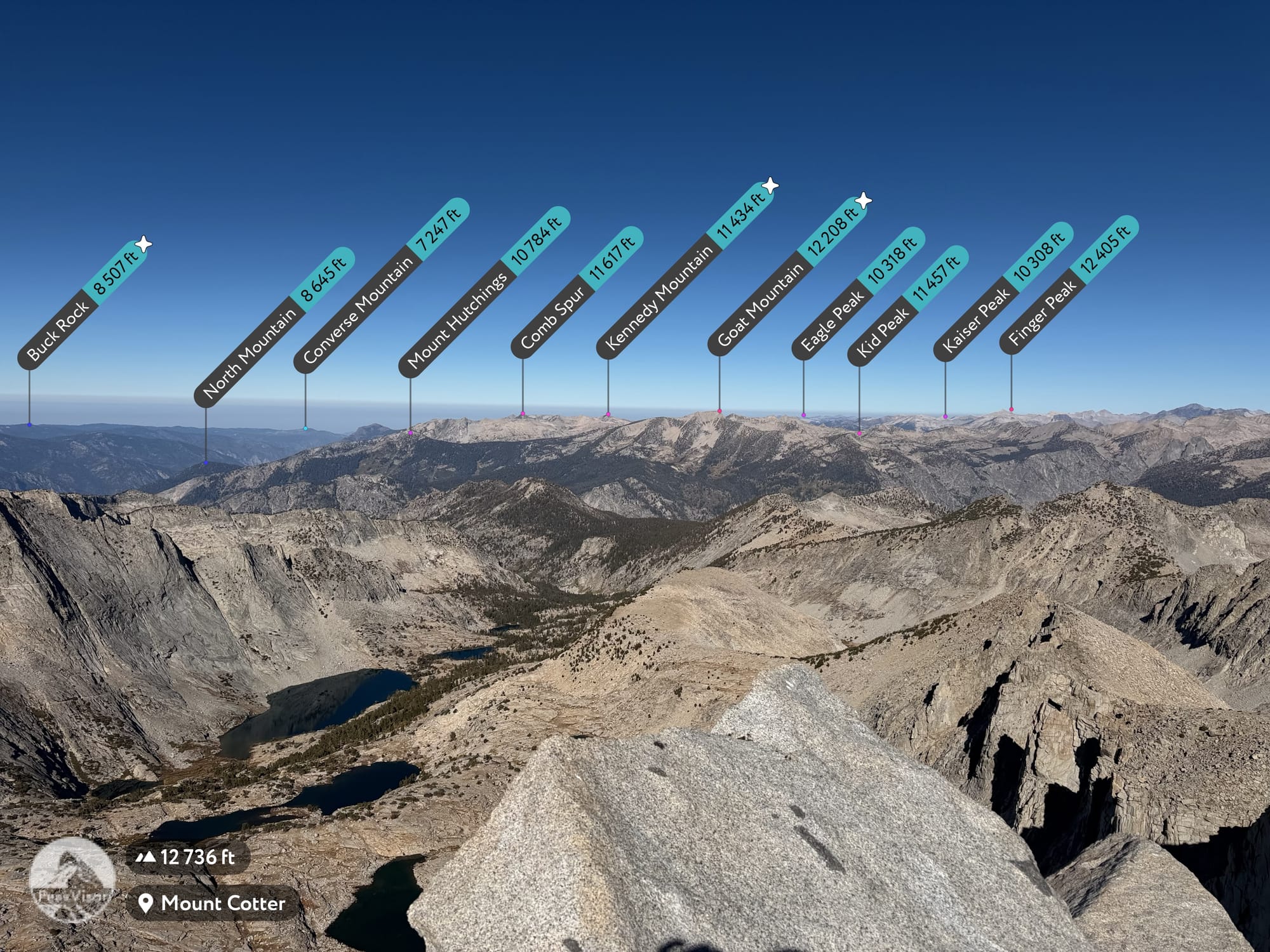
The top of Cotter is an excellent view of this pocket of Kings Canyon. Gardiner Basin, Mt. Gardiner, Mt. Clarence King, Rae Lakes, Sixty Lakes Basin, and Fin Dome are front and center, filled in by the blankets of granite and lakes. Even a week later, I get emotional looking back at the footage.
The hike down was excellent. I was able to scree-ski down the steep side and then aim directly for camp instead of taking the round-about way that I took up by down-climbing a few ravines. I had left at 9:45am and was back at camp about an hour and a half later. The boys were shocked at my early arrival and I filled them in on the climb. From there we relaxed, made lunch, and slowly cleaned up camp.
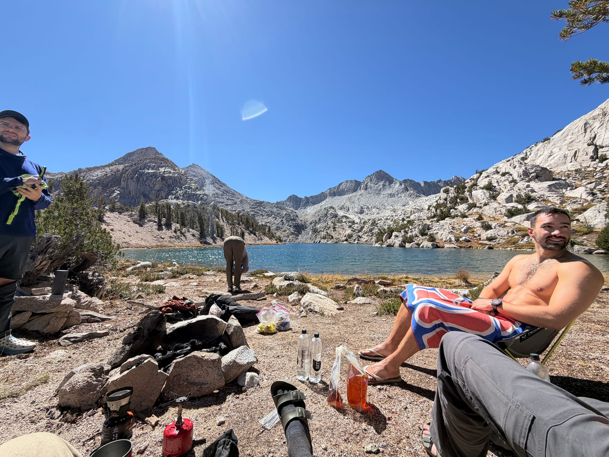
We were back on the trail around 2pm aiming to exit Sixty Lakes Basin via Rae Col instead of the way we came in due to it being more direct. Rae Col is a class 1 off-trail pass that takes you directly from Sixty Lakes Basin to the bottom of the north side of Glen Pass. It would be the first off-trail pass that some in the party had done which was a momentous occasion, even if it is extremely simple and easy. We were at the Col about an hour and a half later, which is also about where I started to really feel the exhaustion from the earlier climb and the heavy pack (at this point I was probably in the mid 40lbs). We traversed by our first campsite and then began our climb up to Glen Pass, which we summited at about 5:30pm.
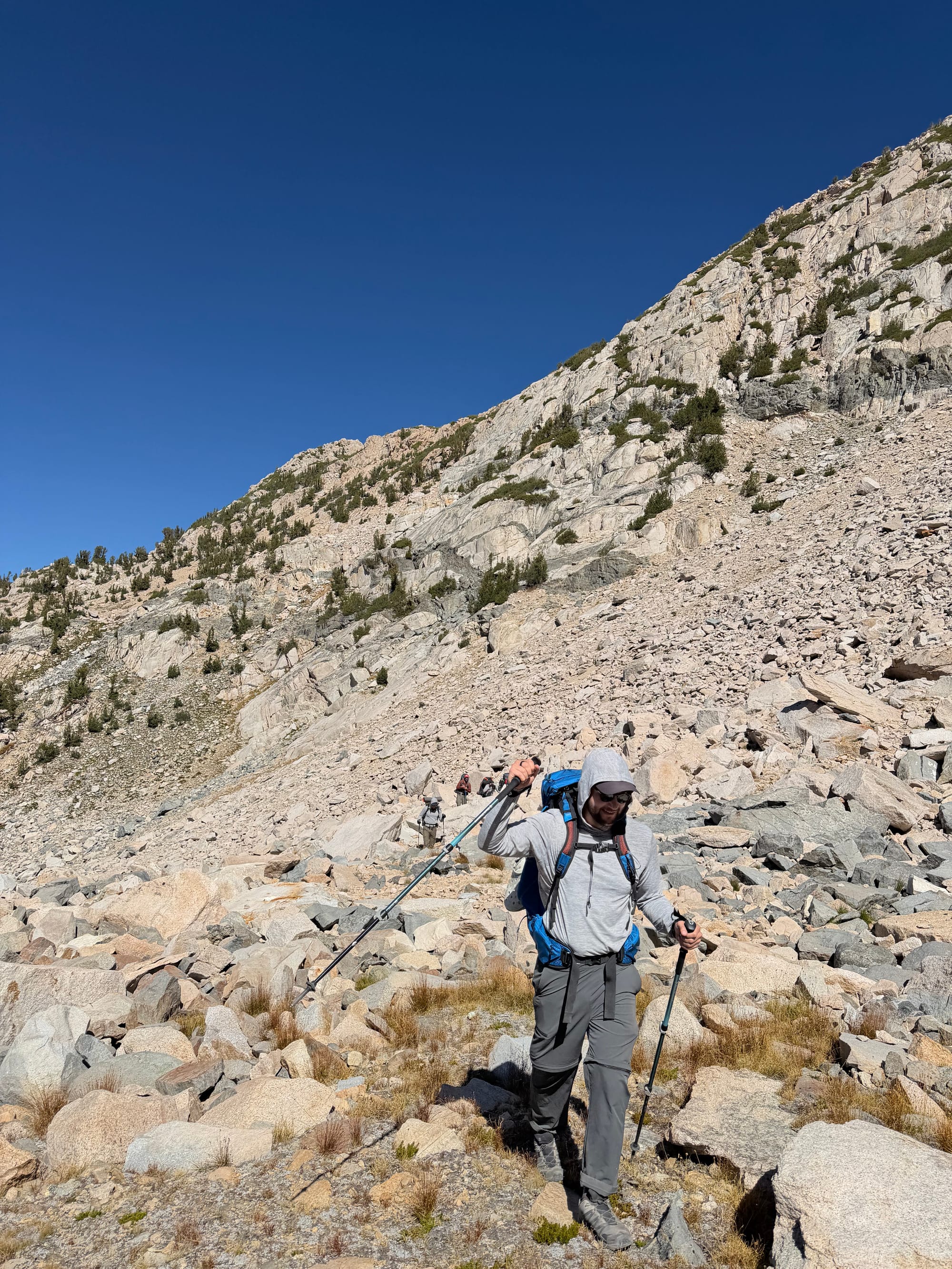
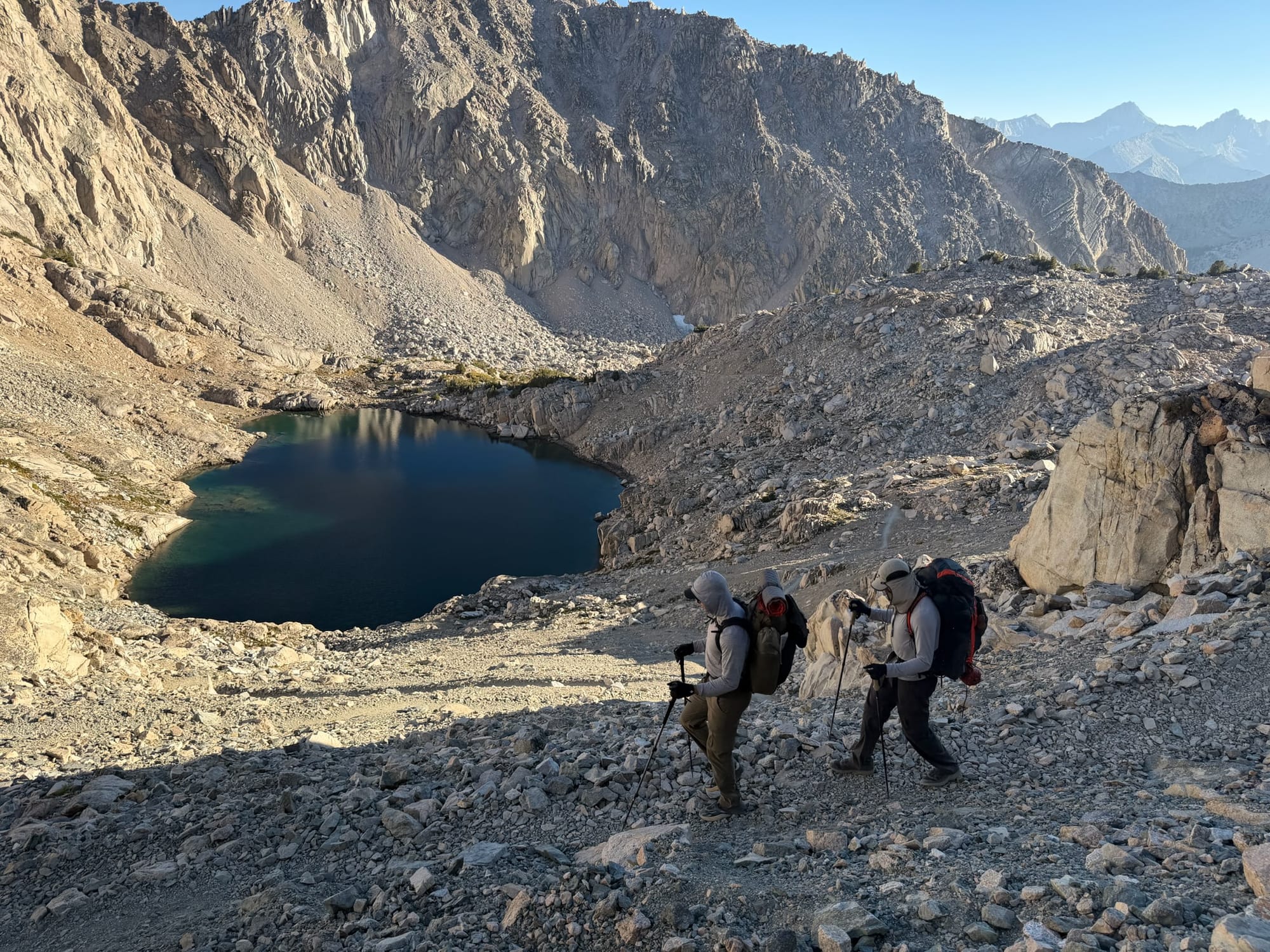
During a past trip I had marked a campsite that had multiple sites and a view and so that is where we headed. I was completely gassed at this point, but we had a glorious hike down during golden hour to the sites which were about a half mile past our water stop (which was the lunch spot from Day 1). Although there was someone in the site, we found another close by just in time to enjoy the sunset. We followed a 10/10 sunset with setting up camp and making dinner, whereas I immediately got into my sleeping bag at around 8:20pm exhausted from the day.
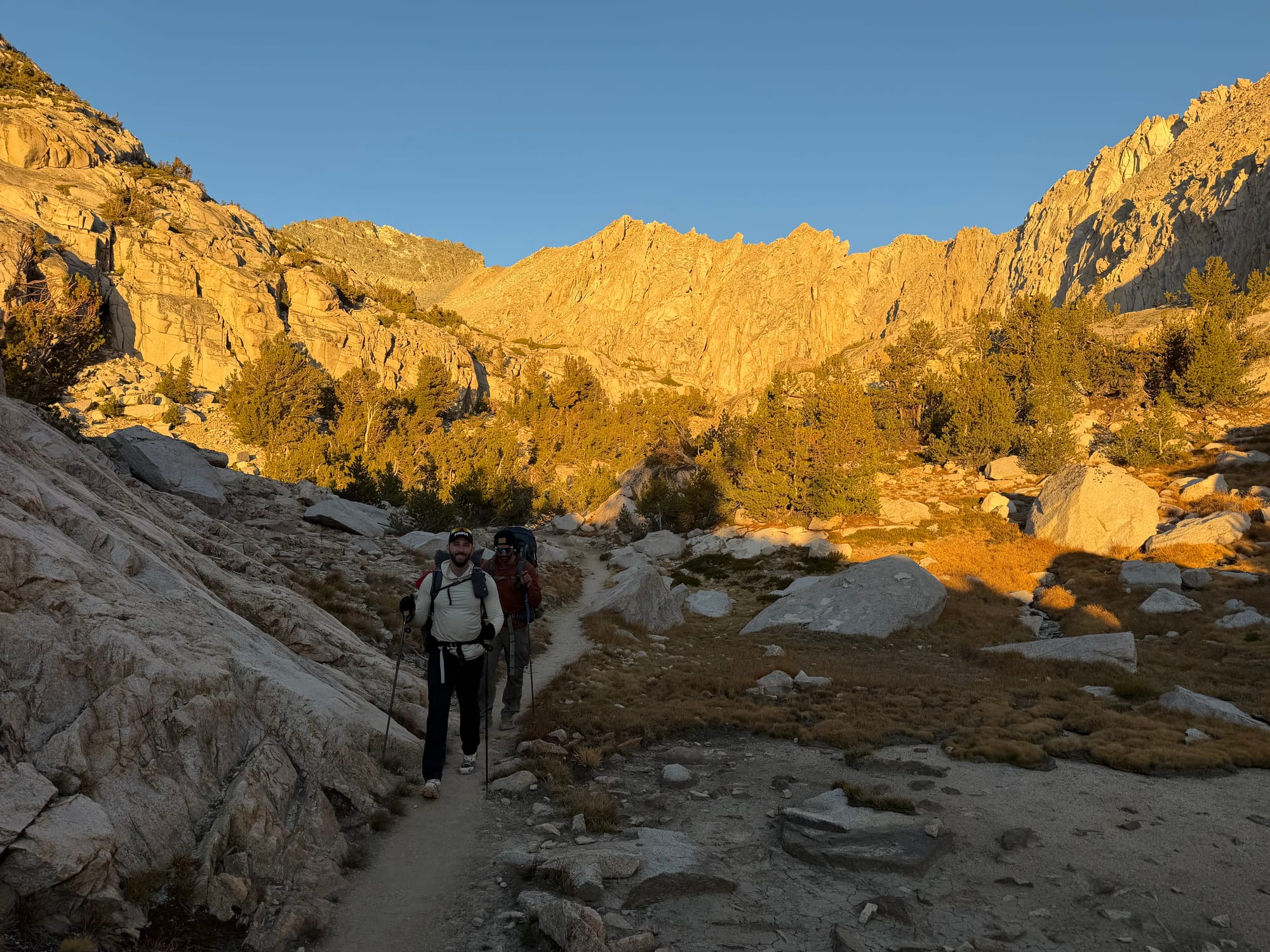
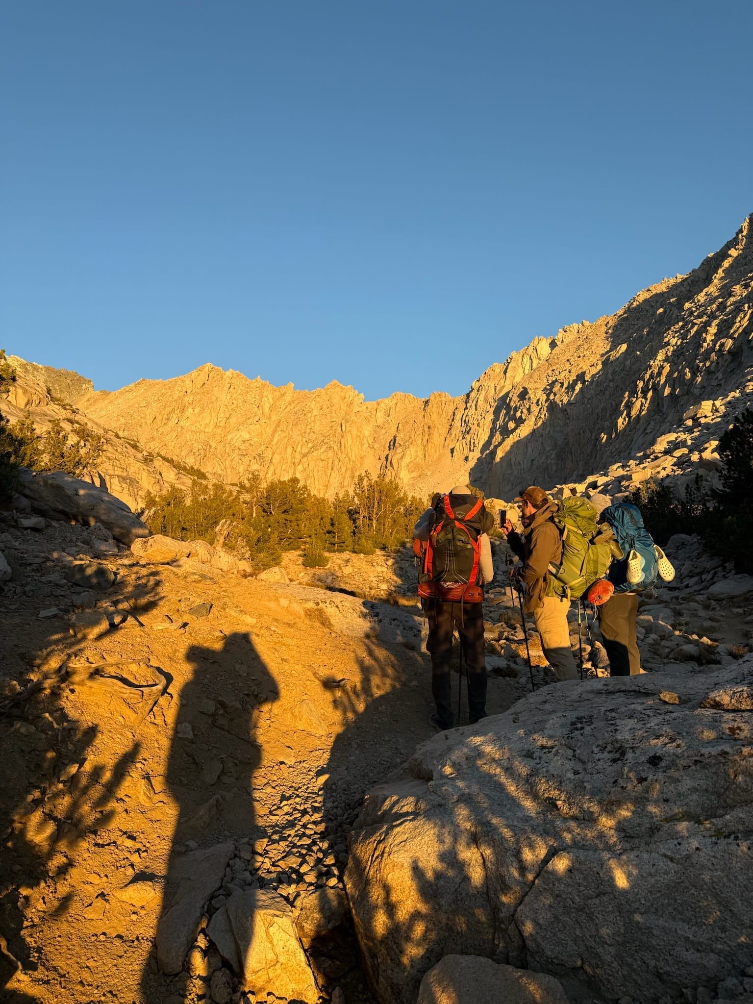
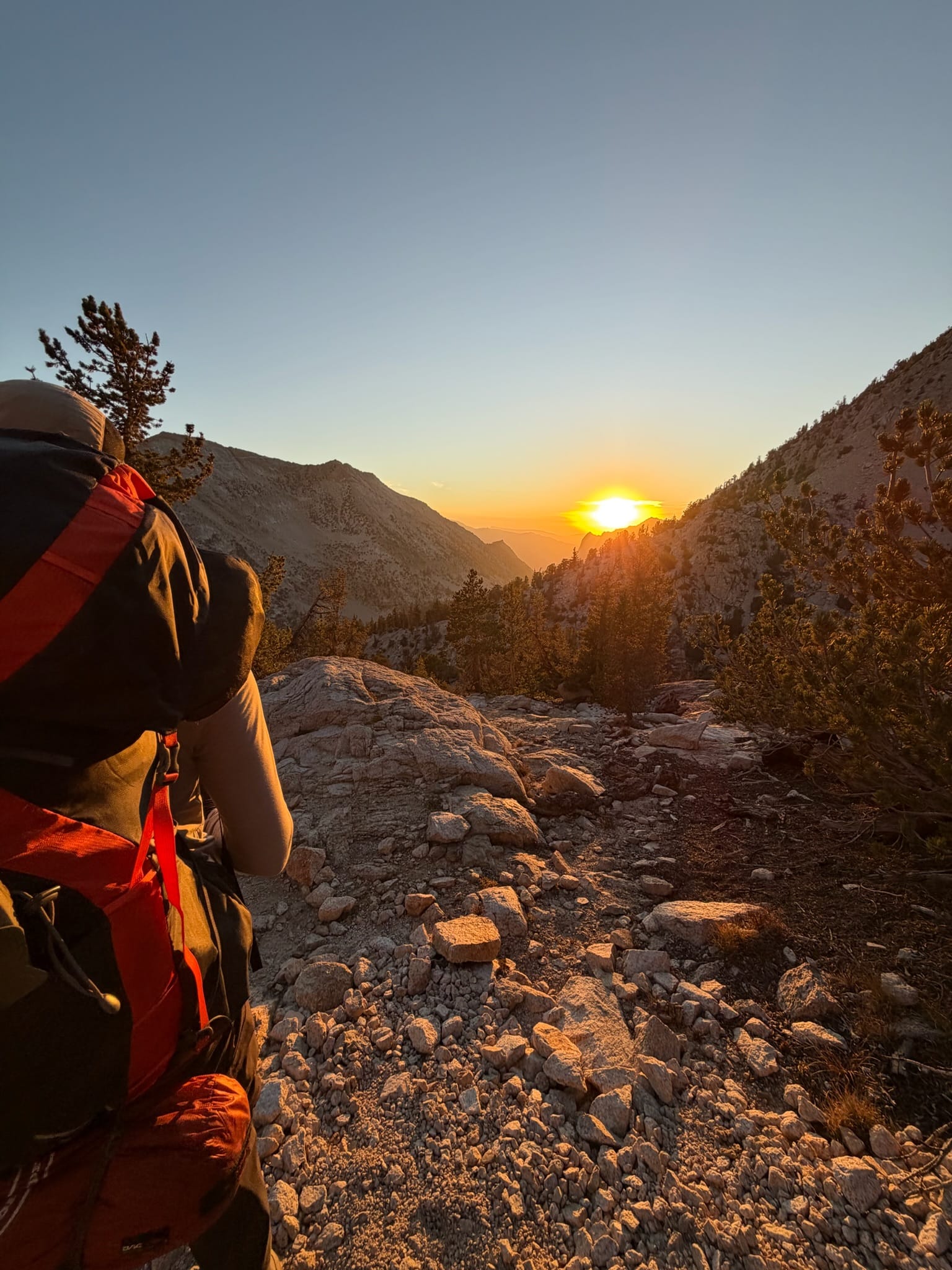
Although we were all tired, I could feel a loving and satisfied energy from our crew. The boys had had a great night, and a relatively easy hike that included an off-trail pass and I had summited a peak that had been on my list for years. Everyone was feeling good and accomplished. I also feel like Day 3 is the start of when your mind is fully in "mountain mode" where you feel fully separate from your life in the outside world. I could see that feeling in our group.
Day 4: Kearsarge Pass back to Onion Valley
We were up and on the trail early, with the only mission being to get back to the car as soon as we could so we could get Eli back to LA in time for Yom Kippur while also making the mandatory stop at In-N-Out. Our pockets loaded with the remaining snacks, we would do a no-cook breakfast and skip lunch. We were on the trail at 8:30am and retraced our steps on the JMT and Kearsarge Pass and were back at the car by noon.