The Grand Canyon of the Tuolumne — Yosemite NP — Oct 2024
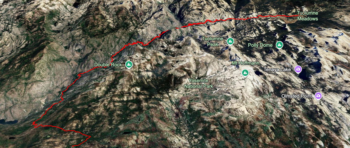
Point-to-point down the Tuolumne past Waterwheel Falls, from the Meadows to White Wolf.
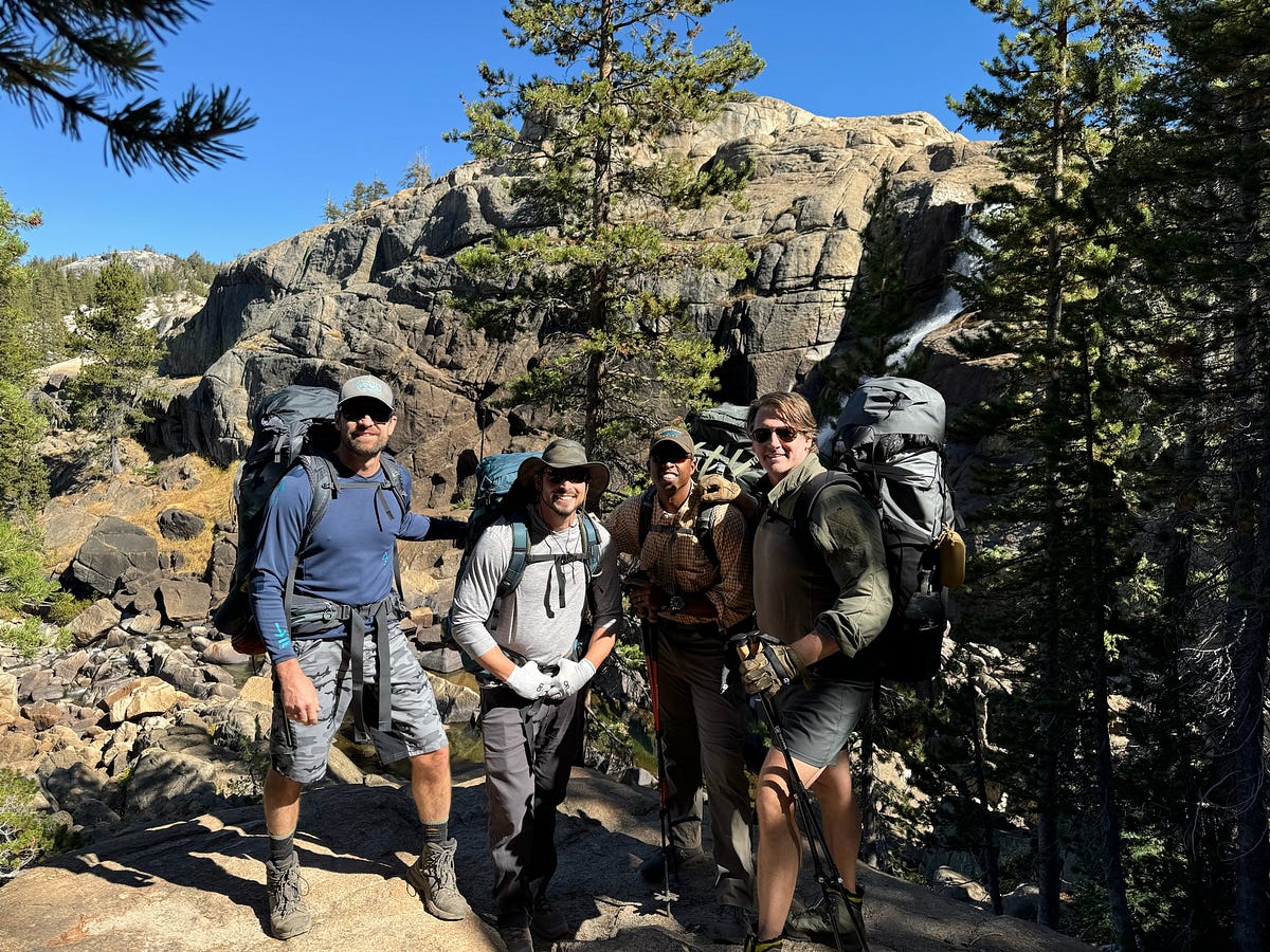
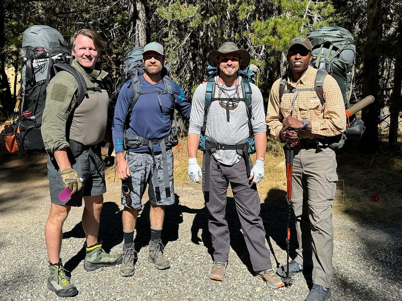
The Grand Canyon of the Tuolumne has been on my list for a long time given how much people gush about it on the internet. The gang of Garth, Mike, Joe, and Myself planned to do this trail with all of us going for our first time except Joe who had done the hike two years prior. We did this hike in early October which i really appreciated. We were blessed with perfect hiking weather, colorful trees, and low water levels which gave us endless opportunities to swim and cold plunge.
For the uninitiated, the Grand Canyon of the Tuolumne (GCT) is the canyon that the Tuolumne river runs through starting high up in the Cathedral Range amongst famous peaks such as Mt Lyell, Mt Dana, and Mt MaClure. The drainage basin is quite large making the Tuolumne one of the most impressive waterways in the High Sierra. It it also famously where San Francisco gets its water from after Hetch Hetchy, a valley as prominent as Yosemite Valley, was damned in the early 20th century.
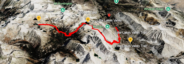
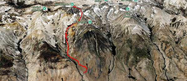
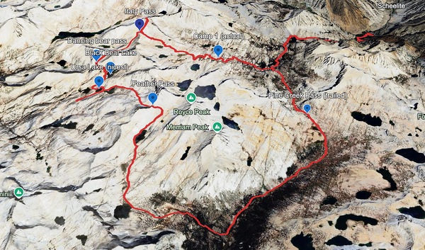
The route generally goes from Tuolumne Meadows to White Wolf campground. We went from TM to WW and if I were to do the hike again, I would do it the same way. Starting at TM, you start at around 8600 feet and then, for the most part, walk down the canyon 20-something miles to Pate Valley. From there you have about 8–10 miles to White Wolf, with the initial climb out of the canyon consisting of 3800ft of gain and some of the steepest trail in the national park.
After dropping off the cars, getting our permits, and gearing up, we got a late start on Day 1 launching out of TM at 11:45am. I was immediately reminded of how beautiful TM is. Domes and peaks in every direction and the Tuolumne River calmly meandering through the enormous meadow. What made it better was that I hadn’t been able to have some quality time with Mike, Garth, and Joe in ages and we all immediately jumped into a lively discussion about life, relationships, and everything else in-between.
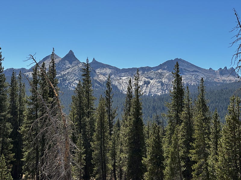
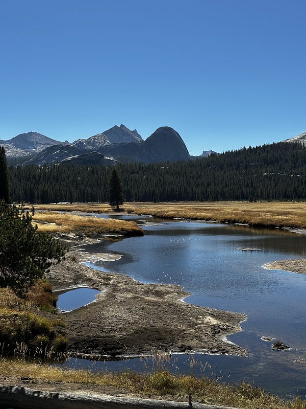
The Cathedral Range peaks and the Tuolumne River meandering through Tuolumne Meadows at the start
After 2 hours or so, we made it a little past Glen Aulin and stopped for lunch on the water. We proceeded and the trail was sensational all along this stretch with many groves of aspens that were in full bright yellow autumn colors. At the same time, the canyon proceeded to tighten up over our heads and every so often we’d be faced with steep drop-offs that rivaled coming down from a high pass. We pushed on without many breaks except for the very-frequent gawking at our surroundings that followed something along the lines of, “this is crazy!” or “It just keeps getting better and better!”
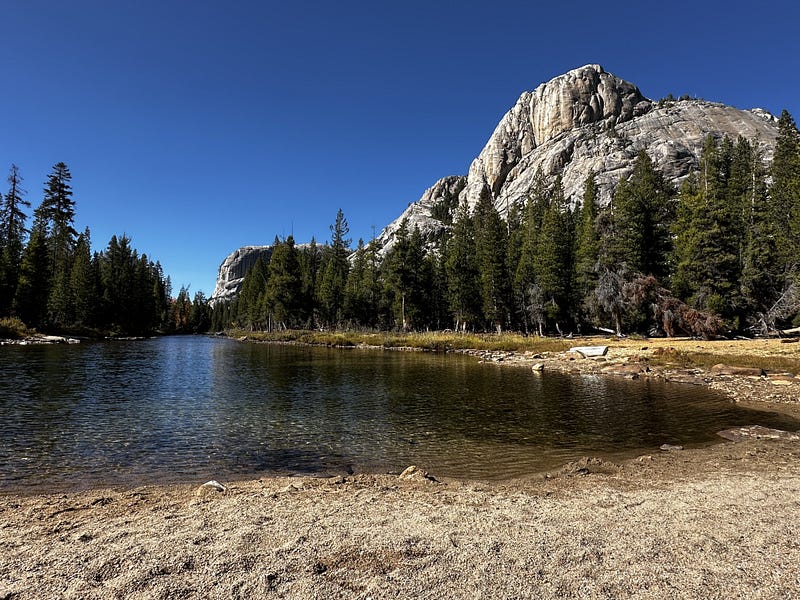
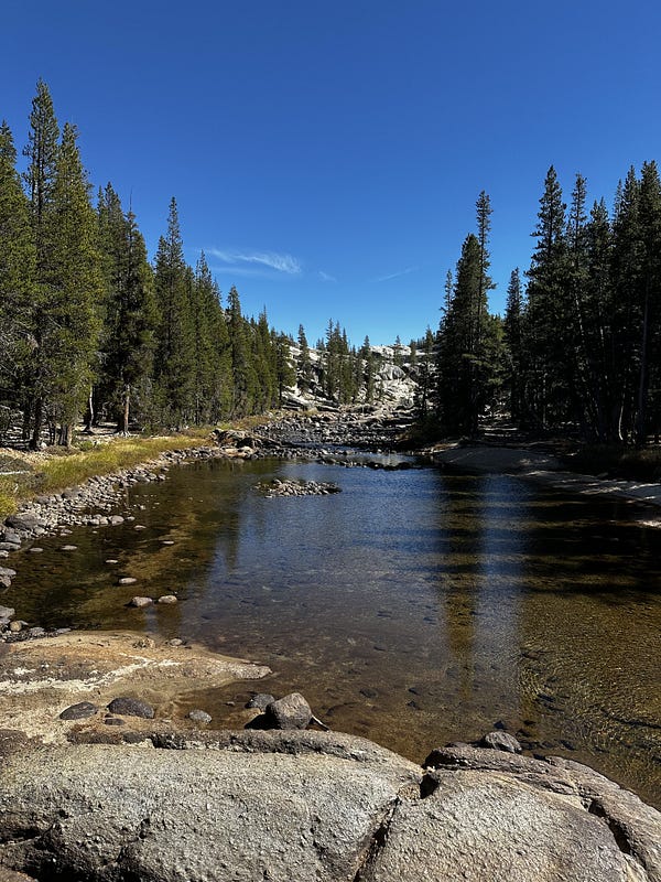
Along the Tuolumne River in the Tuolumne Meadows area, with granite domes and low autumn water
The climax of Day 1 came at about 5pm when we approached Waterwheel Falls, which is truly a 5-star view. From above, you’re looking down at the narrow canyon in front of you while it descends hundreds of feet and snakes for miles and miles. The glacier chomping through the granite is so easy to imagine from this vantage point. We enjoyed this view for a couple silent minutes, basking in its beauty…one of those natural places that softens your ego since whatever you do in life will never be as incredible as the natural beauty that’s in front of you.
We pushed on and hustled to find a campsite while we still had daylight. We ended up having to settle for a spot that Joe had used before. It was sub-par but good enough to fit 3 tents and hammock. We made the most of it by cold plunging right as it started to get dark and then eating dinner around the fire.
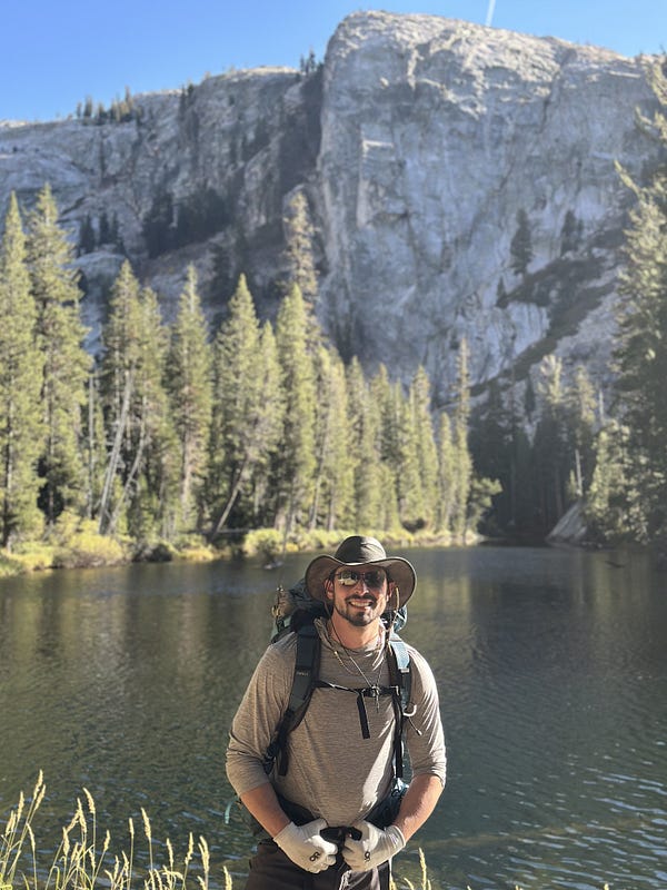
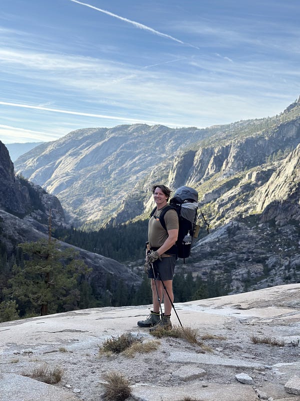
Waterwheel Falls on the right
Day 2 we experienced a lot more ecosystems than Day 1. For the first half of the day it felt like we alternated between the cliffs that were common in Day 1, damp and buggy forest, and a rocky river valley. I believe we started around 8am and outside of a few snack and water breaks, didn’t stop until we made it our lunch spot. This was another place that Joe had recalled from his previous hike and it was fantastic. It was a huge granite watering hole with easy access, beautiful waterfalls, and plenty of space to spread out and relax. We napped, cold plunged, and ate during a 2 hour lunch. From here we pushed through similar rotations of ecosystems until we made it to Pate Valley where we found an excellent spot to camp. It was another long evening spent cold plunging, enjoying the view, and chatting about every conceivable topic as the campfire crackled. There are some trips where you push and push and dont have any time or energy to relax or hang by the campfire and those are frequent and awesome for me. However, these kinds of backcountry evenings are special.
Lunch swimming hole
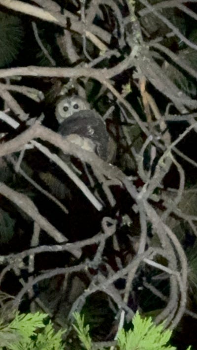
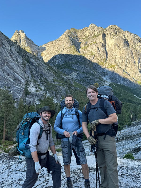
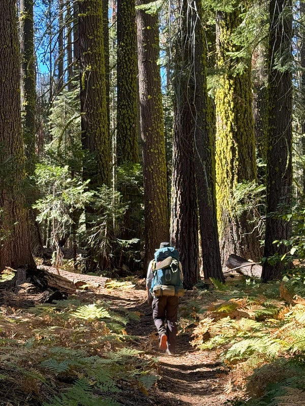
A little owl watching from the branches at night, the crew below the walls of the Grand Canyon of the Tuolumne, and hiking through the ferny autumn forest
Day 3 is pretty easy to summarize as it was nothing but slogging uphill from start to finish. We had been mentally preparing for the 3800 feet of gain for the whole trip and doing on the last day is definitely preferred given that your feet, lungs, and pack are all in advantageous positions. The gain transpires over about 8.5 miles and given the fitness level of some of the group members, we planned to take this slow and steady. I think we started around 8am and Joe and I (after leaving the guys behind to go fetch the cars) rolled in at about 2:45. We bombed it for Groveland where we gorged like one does after 3800 feet of gain.