Mount Sill via North Couloir — John Muir Wilderness — June 2025
A June snow climb of the North Couloir to the summit of Mt. Sill, deep in the Palisades Crest.
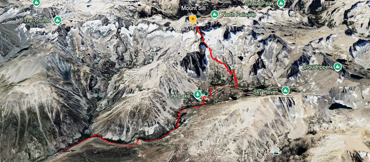
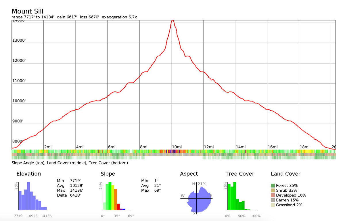
Mt. Sill is a classic California peak, clocking in at 14,159' and set amongst the imposing Palisades Crest. The classic 14er is accessible via a relatively short hike up the extremely beautiful North Fork of Big Pine Creek and is non-technical, lending to its popularity. This was my second attempt at the peak and given that my first ended in dramatic failure, I was excited and motivated to make this one work.
I love spending Fathers Day in the mountains — it’s a perfect time for me to commune with nature while connecting with my fathers spirit — and so both my first and second attempt fell consecutively on Fathers Day 2024 and 2025. Before jumping into the trip report, I want to briefly discuss what happened on my first attempt. Back in June 2024, i attempted a solo attempt of the peak and camped at Lake 2. While on the trail, I met Eric who was making his third attempt. While climbing the glacier notch, I lodged a tire-sized boulder loose and it came crashing down onto my right hand, resulting in a butterfly fracture on the top of my index finger. This was a very fortnuate turnout, as the boulder could have easily damaged the hand significantly more than it did, or even worse. I continued to climb a little bit further towards the Apex Notch, but between the incredible pain in my hand and the fact that it was already 12:30pm at that time (with incredibly soft snow), I decided to turn back. My right hand was unusable and I knew that from the apex notch to the summit i would need both hands to climb. Eric didn’t summit either and he succumbed to altitude sickness. Both of us promised we would return and after a year filled with two hand surgeries and physical therapy, we did.
Eric and I planned to meet on Day 1 at the Hi-Country Market in Big Pine at 10am. Our goal for the first day was to get up to Lake 2 of Big Pine Creek NF for lunch and then push as far as we could before making camp. There are two camps that are above Sam Mack Meadows and we wanted to get as close to the Palisades Glacier as possible to make the summit hike as short as we could the following day. As per usual, this hike up the NF is dry and exposed at first and then becomes truly stunning as you approach and arrive at Lakes 1 and 2. Lake 2 is one of the premier day hike destinations in the entire range, and it was packed with day hikers and backpackers enjoying a weekend out.
The hike from the trailhead to Lake 2 is self-explanatory and I’ll let the photos do most of the talking.
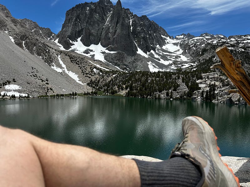
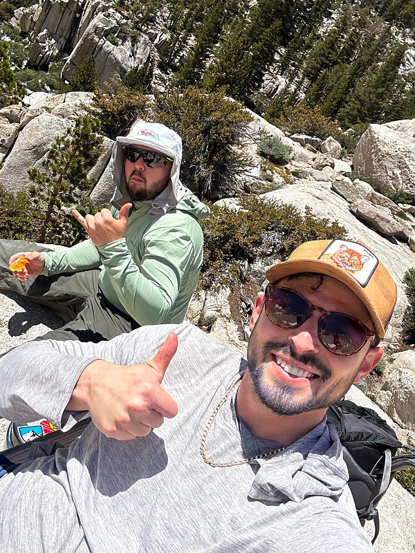
Lunch at Lake 2
We made it to Lake 2 around 1pm and after lunching and a nap, we braved the mosquitoes at Lake 3 and pressed on up the Glacier Trail towards Sam Mack Meadows. We made slow progress enjoying the scenery and arrived at the beautiful Sam Mack Meadows (11,027') around 4pm.
On the way to Sam Mack
Snack break at Sam Mack
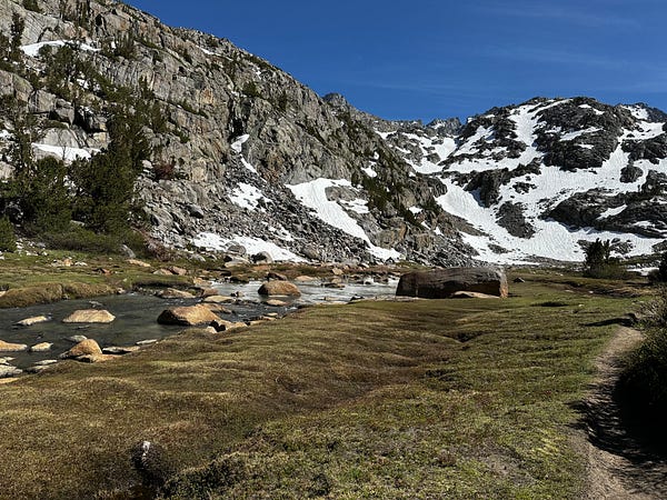
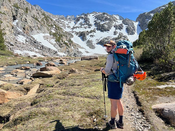
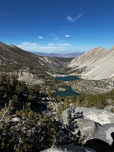
Left and Middle are Same Mack Meadows. The right is a little further up towards our campsite
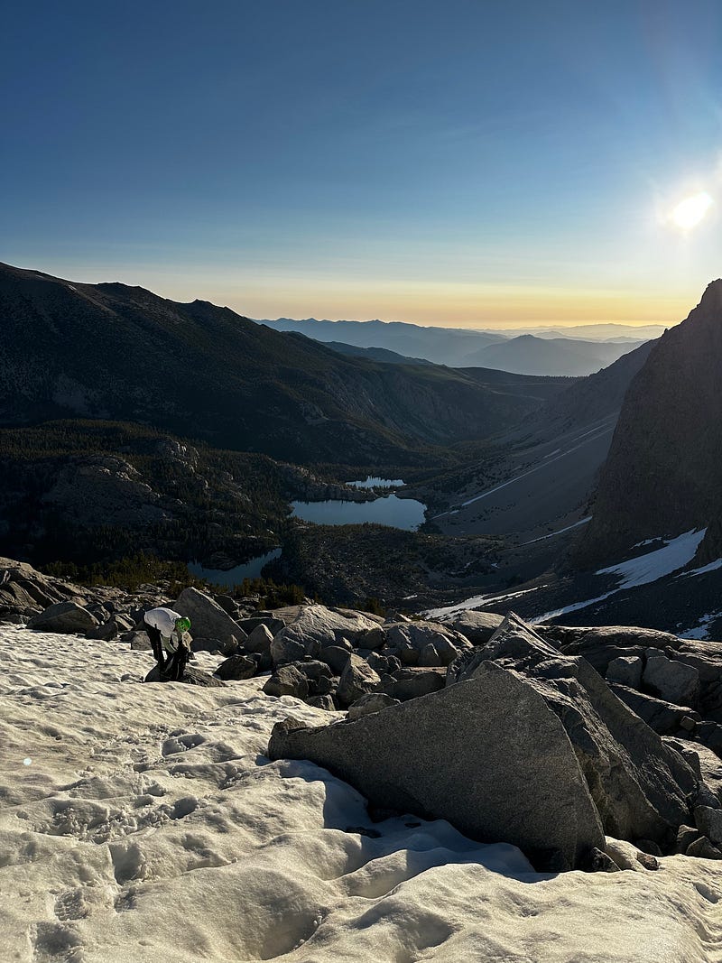
The climbing, altitude, and weight of our packs was starting to take a toll and after Sam Mack Meadows, the Glacier Trail becomes steep and climbs precipitously. Being at 11k feet, our sea-level lungs were really starting to struggle and so we decided that we would stop at the first set of campsites which was around 11,700ft. We climbed slowly, find the campsites at approximately 5:30pm where we settled in, set up camp, and made dinner. We had plans of waking up at dawn, so we were both in our tents laying down at 8pm, happy with our progress and excited about the challenges that the following day brought.Being on the trail early was a necessity, and for those that are considering Mt.Sill while there is still snow, it’s an imperative that you get up to the glacier as early as possible to enjoy as much hard snow as possible. Both Eric and I knew from the previous year that we would need to climb the hill from the glacier notch to the apex notch while the snow was still hard, so we were adamant about waking up at 5am and being on the trail no later than 6am.
After a big pot of coffee and a Bo-Bo oat bar (almost 300 calories!), Eric and I loaded our day packs were on our way around 5:45am. It only took about 30 minutes of climbing to need our crampons for the first time and it only took an hour for our first mishap: somehow, my ice ax was not tightened to my pack and it fell off somewhere in the first hour and a half. We didnt have time to fully retrace our steps and were obviously concerned about me not having a way to self arrest, but made the decision to push on anways as I was not going to blow the trip because of this.
By 7am, we had climbed to about 12,350' and reached the view of the Palisades Glacier where we took a break to put on our crampons, snack up, and enjoy the view. The Palisades Glacier is significant because it is one of the 20 remaining glaciers in California and one of the largest that remains in the Sierra. Furthermore, it sits right under an absolutely fantastic view of the Palisades Crest with perfect views of Mt.Sill, Polemonium, North Palisade, and Thunderbolt Peak. From here we traversed the glacier for about 45 minutes jumping between snow and boulders until we got to the point where we would climb up the chute that leads to the glacier notch.
Palisades Glacier
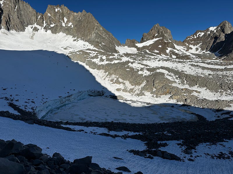
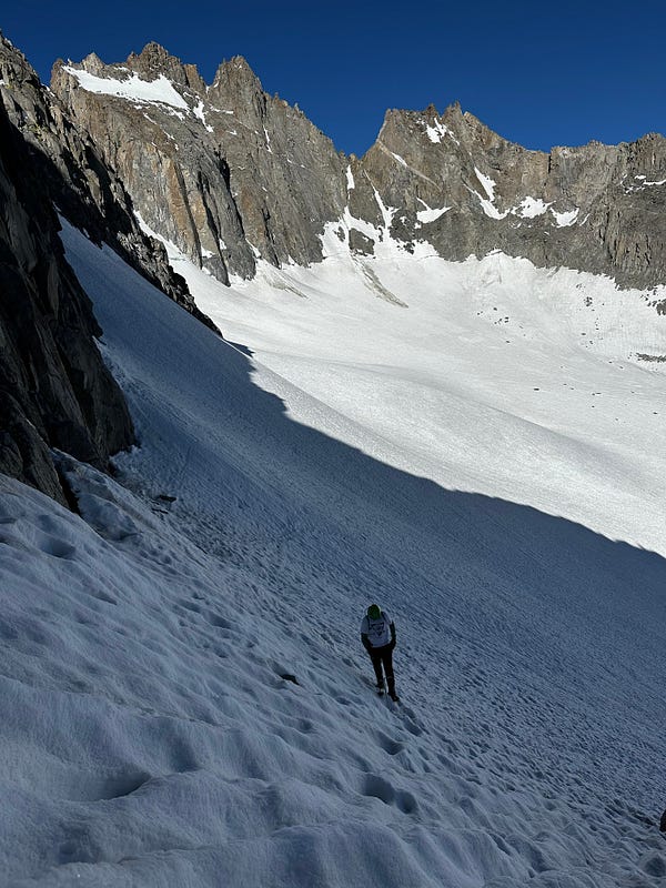
The Palisades Glacier and the traverse to the Glacier Notch
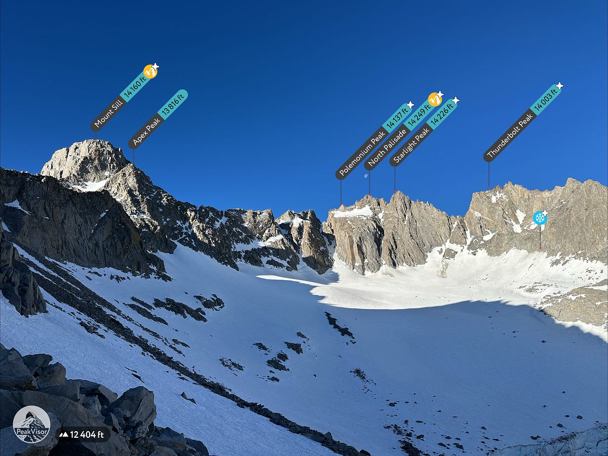
Traversing the Palisades Glacier, moving towards the climb to the Glacier Notch
This is the part where I broke my finger last year and although I was nervous, Eric and I ascended slowly and meticulously triple checking every handhold on the way. It’s not too long, difficult, or exposed of a climb, but the handholds aren’t very secure so we were slow in our ascent and managed to get to the top around 8:30am. Once at the top of the climb, we settled into another short break and enjoyed our achievement and the view of Mt Gayley and beyond.
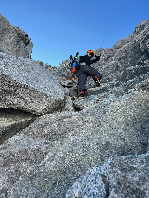
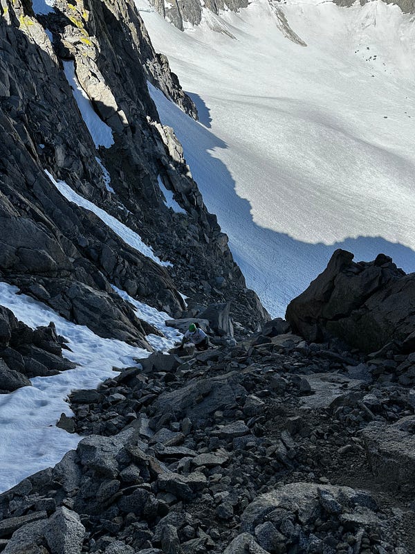
This is climb from the glacier to the Glacier Notch, where last year i lodged a boulder loose which crushed my hand
It was at this point that I noticed that I had lost one of my 2-liter water bottles somewhere and so with only 1 bottle remaining, I knew I would have to melt some snow going forward. Lucky for us, there was tons. We were now facing the hill that lead from the glacier notch to the apex notch, which was as far as I made it on my previous hike. On attempt #1, we had made it to this point at 11:30am and the snow was soft, meaning every step sunk to our thigh which was exhausting and miserable. This time around, we began our push to the apex notch — the saddle that sits between Apex Peak and Mt. Sill — at 8:45am which was much better as the snow was still hard and we only sank to the top of our boots, a significant improvement over last time. Regardless, there is no easy was to spin a ~700ft climb straight up at 13,000ft and for 45 minutes, Eric and I slogged pretty miserably up the snow. I think this section is the most physically demanding section of the hike with every step proving difficult and the thin air making it tough to create any real rhythm. Once at the top, it was about 9:30am and we melted snow while mentally preparing ourselves for the remaining climb to the summit. We felt like we were close and that summiting was certain, but what we didnt know was that we were going to begin some of the sketchiest climbing either of us had ever done.
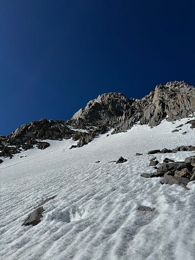
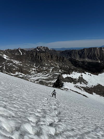
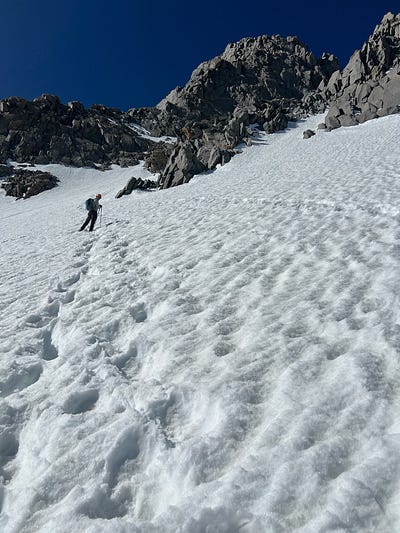
(left) Looking up from the Glacier Notch at the climb up to the Apex Notch. Apex peak on the right, Mt Sill on the left. (middle and right) forever climbing
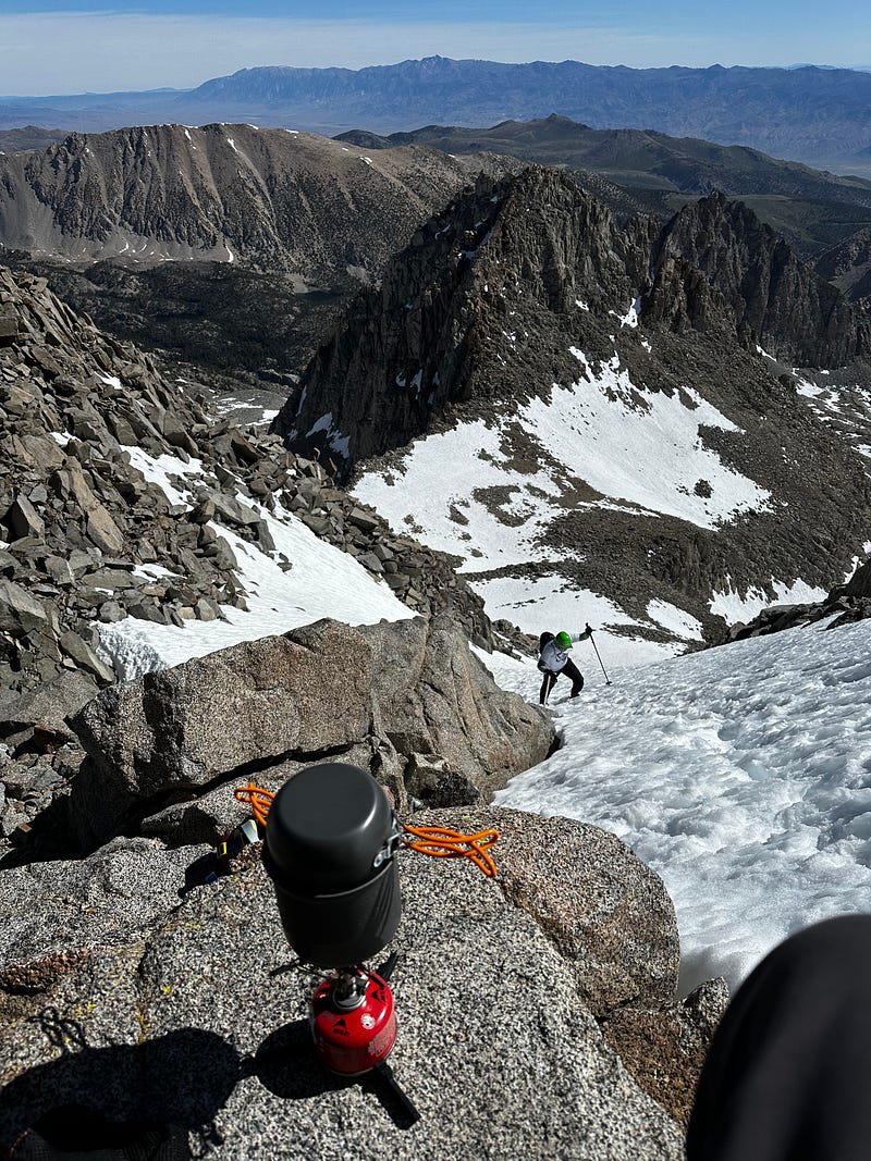
Right after the apex notch, we begin a sort-of loop around Mt.Sill and were immediately faced with what I called a “death slide” which was am unavoidable snow patch our trail that effectively led straight down the mountain. A slip here would be really, really bad and without an ax, I was definitely spooked. After being sure to kick in every step, we made it across and were faced with our next challenge which was a very steep maze of snow and granite. This next part would have been fine with an ax but without one, it was sketch. There were some very steep parts of this phase and for about 35 minutes, Eric and I followed the fixed-rope hooks with only a few minor bouts of fear. To be totally honest and clear, due to the steepness, snow, and lack of proper hand and footholds, there were some very scary parts in this 35 minute push with Eric and I both admitting to each other (on more than one occasion) that we were certainly scared. This is obviously a part of the hike that people use rope and Eric and I were doing it without rope AND the presence of snow. After taking our time and going extremely slow we made it. I want to acknowledge how proud I am of both of us for managing the fear properly, staying calm, slowing down, and deciding to push forward.
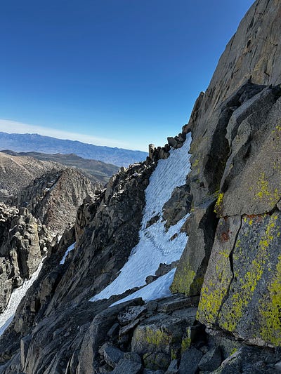
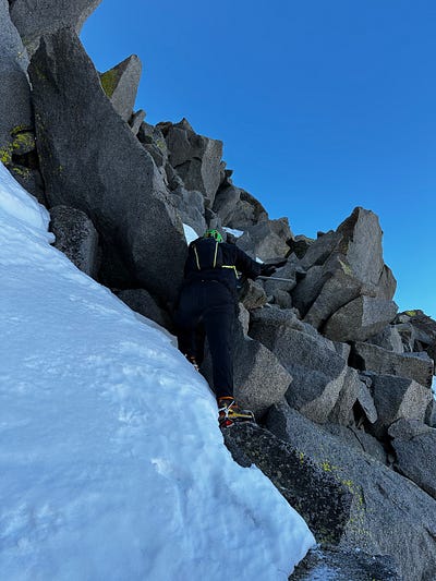
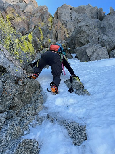
(left) the “Death Slide” (middle and right) climbing the steep shoot
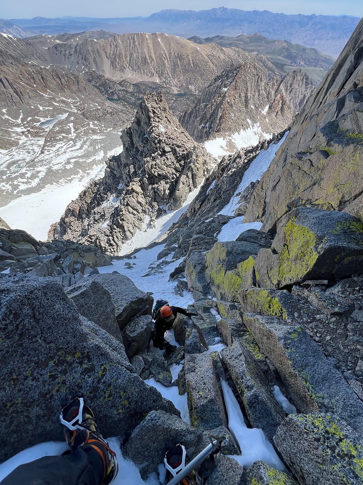
The last ~200ft of the climb calmed down and became the normal, fun boulder climbing that we expected and finally at about 11:10am — 5.5 hours after beginning — we were at the summit. Although a little shook up due to the intensity of the last hour, we were ecstatic. Making this summit meant so much to both Eric and I and after so much effort getting to that point, we let it all out. Mt.Sill is known to have one of the best views in the entire Sierra with peaks visible all the way into Sequoia and we soaked it all in for as long as we could.
Summit, narrarated by Eric
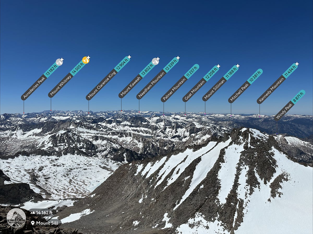
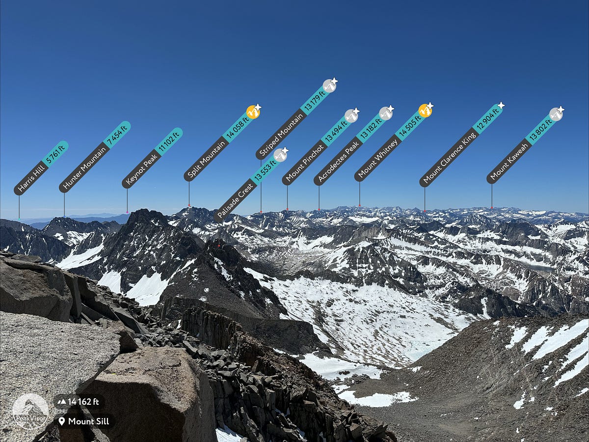
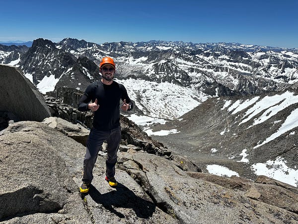
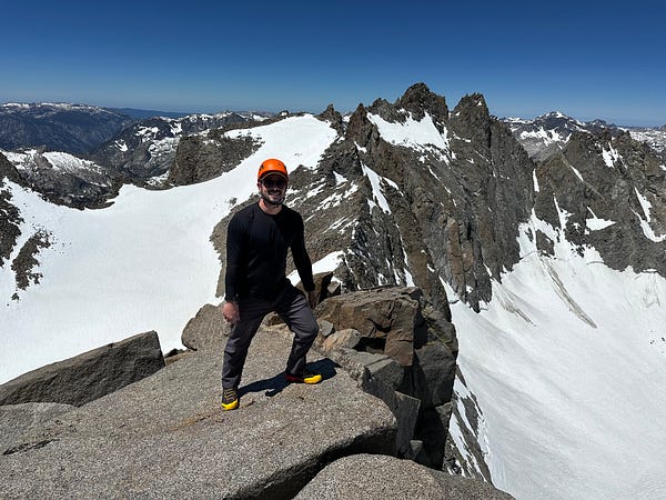
Summit. Right side is with the Palisades in the background
Summit views
Unfortunately for us, our excitement at the peak was mixed with nervousness about the climb down and especially that steep portion right above the apex notch. We began our decent after only 15–20 minutes at the top and made quick work of the easy part and then prepared ourselves for the steep downclimb to the apex notch. Eric and I sat down and mentally prepared ourselves, trying to figure out the route with the least amount of risk. Downclimbing is always sketchy when its steep, but the part that we were having the biggest issue with was a 30ish foot patch of snow that blocked our access to a line of granite. While also dealing with some cramping in my groin, we determined the best way to go would be for Eric to go first using his ax as support and then kicking in steps to create a ladder on the way down and then I would follow. A fall here would have been very, very bad and so after a very stressful 10 minutes, we made it to the granite and then down the rest of the section. A few minutes later and we were back making our way across the death slide and were back safely at the apex notch, finally taking some much needed deep breathes and melting water. From the apex notch to the summit and back was a total of above 2.5 hours.
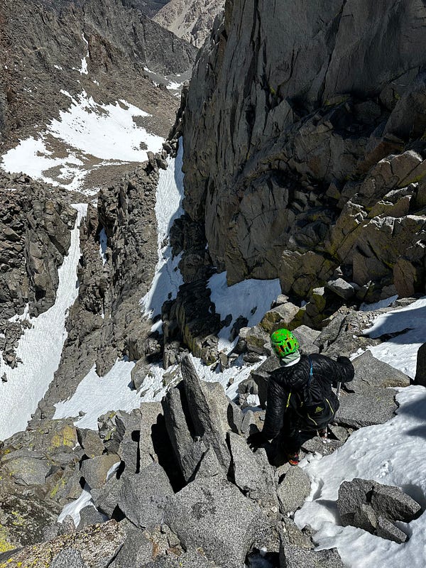
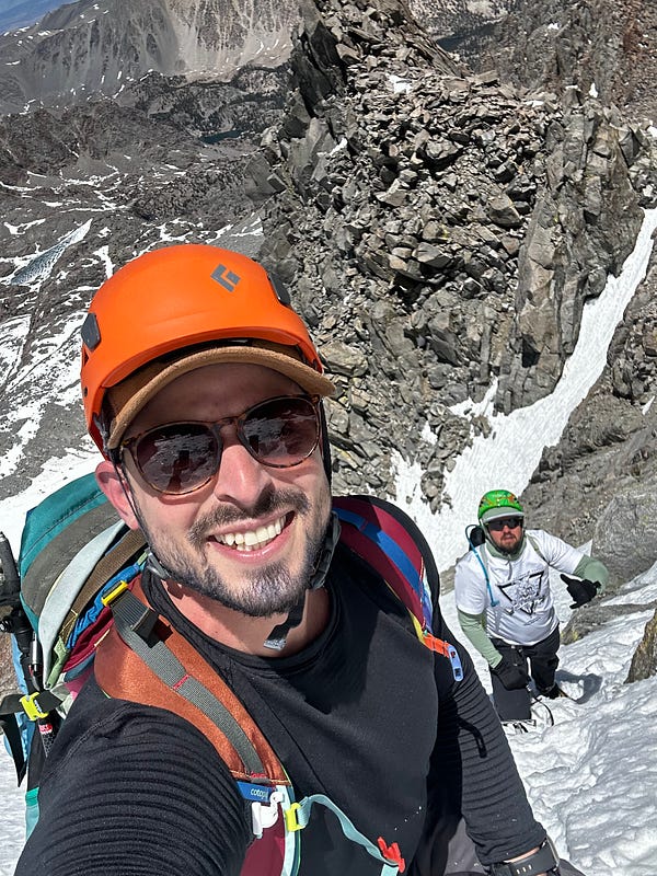
Extremely sketch downclimbing between the summit and the “death slide”
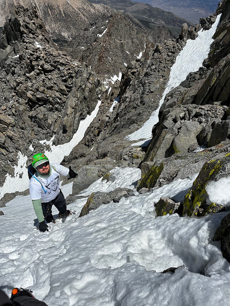
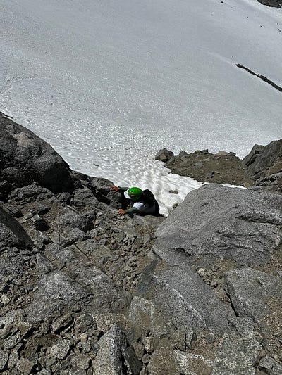
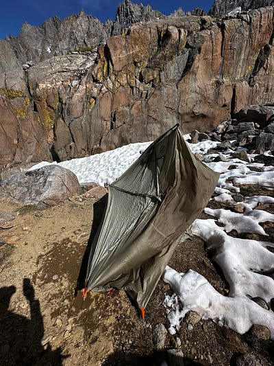
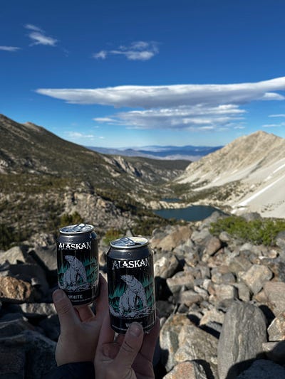
(left) Getting down to the glacier (middle) getting back to camp (right) i was too anxious to drink our summit beers at the summit so we drank them after tearing down camp
We still had a ways to go to get back to camp and then back to the car and it was looking like we were going to be getting back to the trailhead late. We glissaded down from the apex notch to the glacier notch, down-climbed to the glacier, traversed the glacier, and then slogged through snow back to the trail and back to camp over the next few hours, arriving back to camp around 4:10pm. We took our time packing up and then setting off for the 9ish mile walk all the way back to the car, getting to the trailhead at about 9pm. Throughout the walk to the car, Eric and I reflected on the day we had just had and agreed that it was the most fun we never want to have again and that Mt Sill is clearly best done either 1) with rope or 2) when there is no snow (although the snow does make some of the ascending easier). Regardless, we felt accomplished and proud of ourselves, which was a feeling that would persist until the time of this writing (a week after returning).