Patagonia 2024
This is certainly one of the trips of my lifetime. I am blessed and grateful to have pulled something like this off. Looking back through…

This is certainly one of the trips of my lifetime. I am blessed and grateful to have pulled something like this off. Looking back through all of these photos and being reminded of the people, the food, the landscapes, and most importantly, the feelings remind me not only how special Patagonia is, but how special open-ended travel is. If there is one thing that comes across in this blog outside of Patagonia’s beauty, it’s that there is nothing like open-ended, vagabond style travel (even if you do choose to rent a car). It is not just something you do in your twenties. To me, the important thing is the ethos of the traveler, and allowing it to engulf you and purvey through the rest of your being even when you are not on the road. I hope my lust for adventure never fades and that with this blog, I can possibly instill some in one of you.
If you are only here to learn about a few specific towns or hikes, I would suggest using the “Command/Control+F” shortcut and searching for whatever you are looking for that way.
Day 0: Leave LAX
LAX to Santiago. Nothing to report since I slept most of the flight. Landed in Santiago around dawn and rushed to the gate where my flight to Balmaceda was.
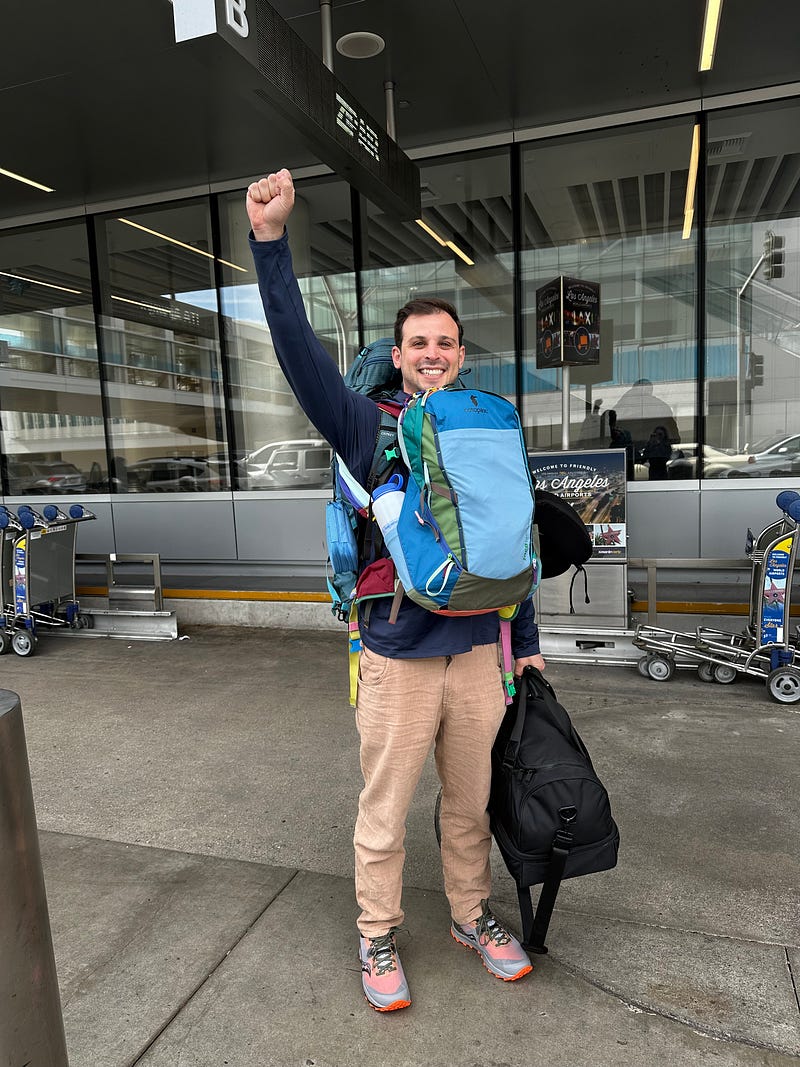
Day 1: Landing in Balmaceda and driving to Puerto Rio Tranquilo
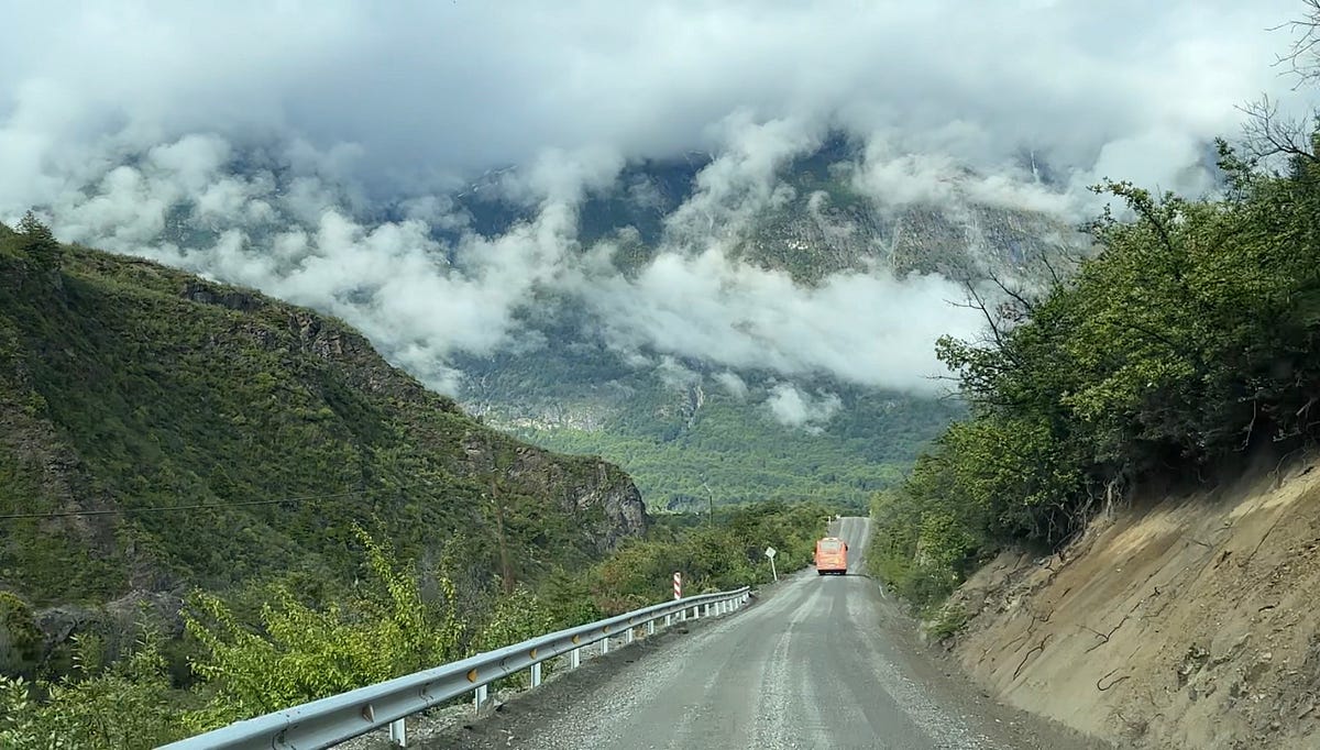
The plan for today is to land in Balmaceda, rent car, and drive to Puerto Rio Tranquillo. The drive from Balmaceda Airport to Rio Tranquillo is about 3.5 hours and after landing around lunch, I focused on getting my car and enjoying what turned out to be a delightful drive. This was my first taste of driving in Patagonia and I was focused on taking it easy given the jet lag and early morning. Going to let the photos do the talking for this day.
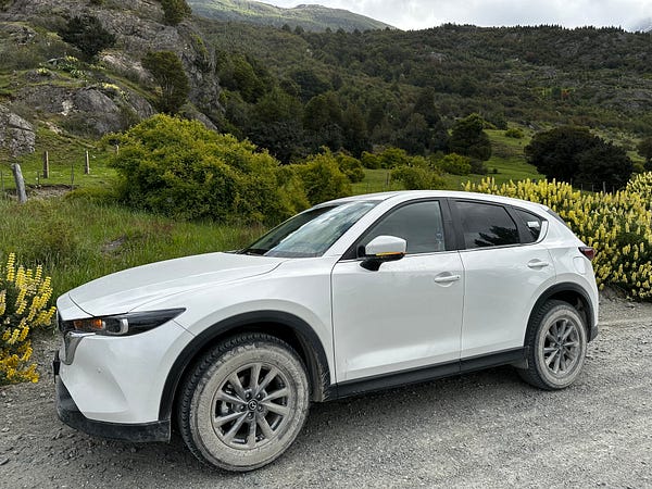
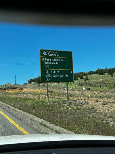
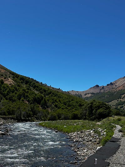
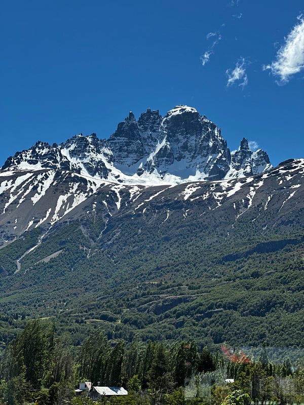
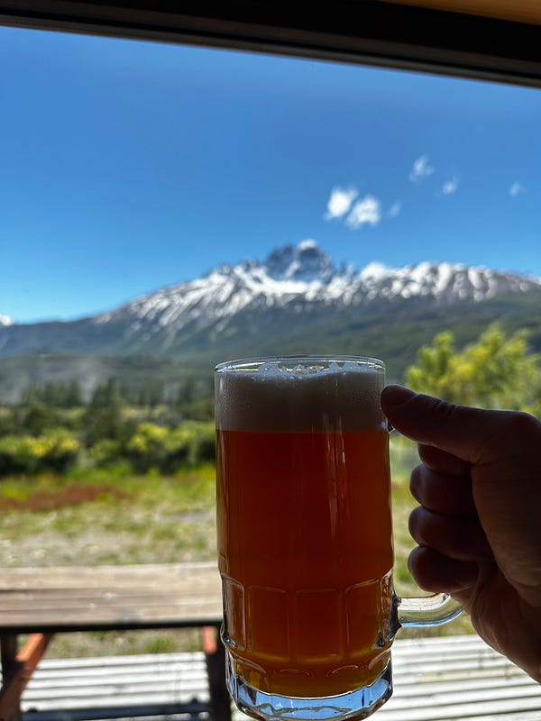
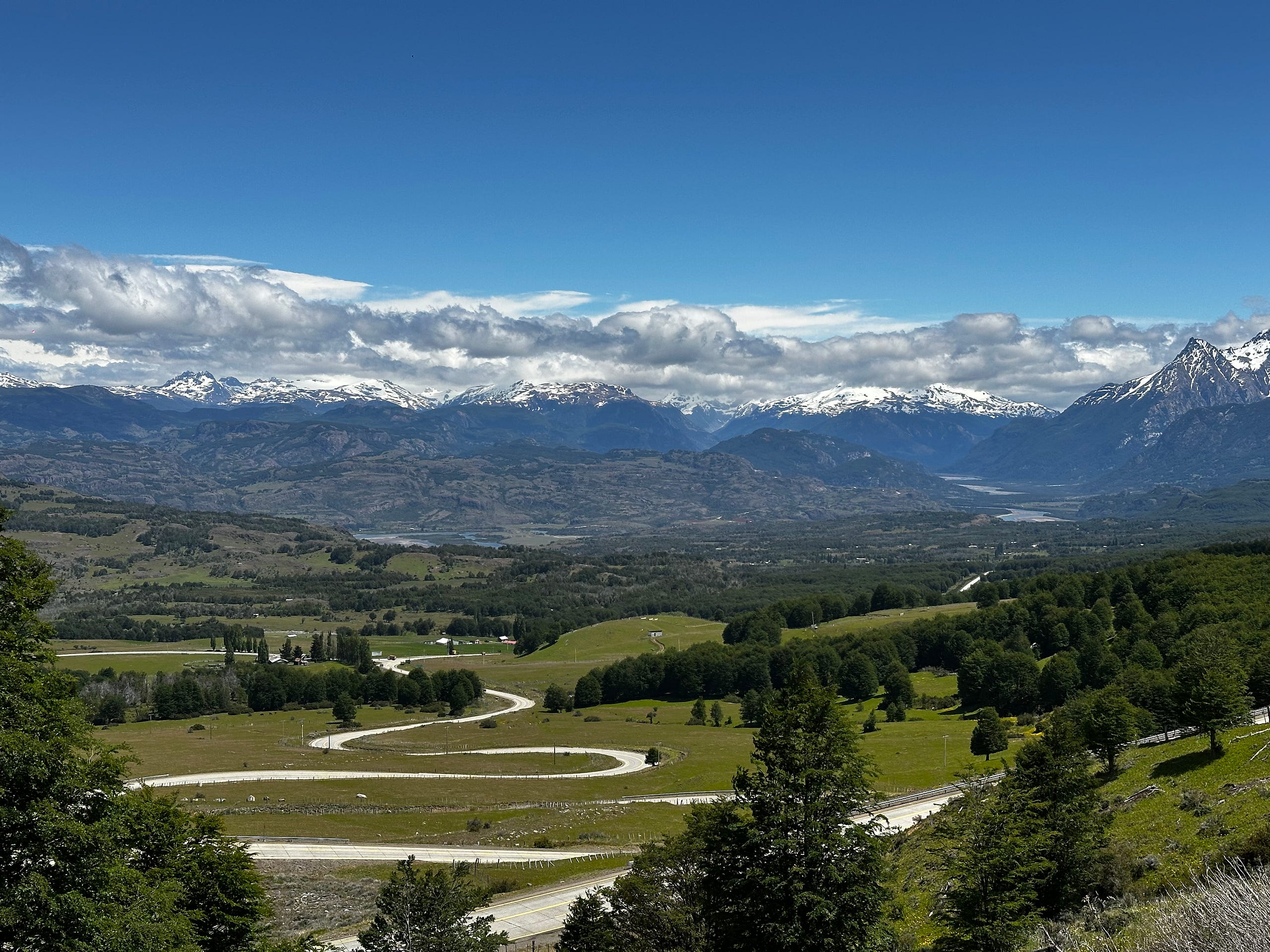
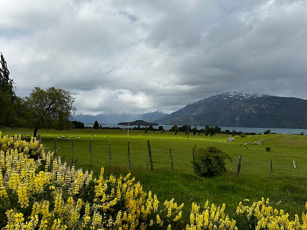
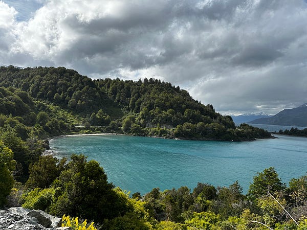
This drive was fantastic and my evening was uneventful. I made it to Puerto Rio Tranquillo, checked into my Airbnb, bought some snacks for my car rides and future hikes, ate dinner, and then went to sleep early.
Day 2: Puerto Rio Tranquilo and the drive to Cochrane (with a stop in Patagonia National Park)
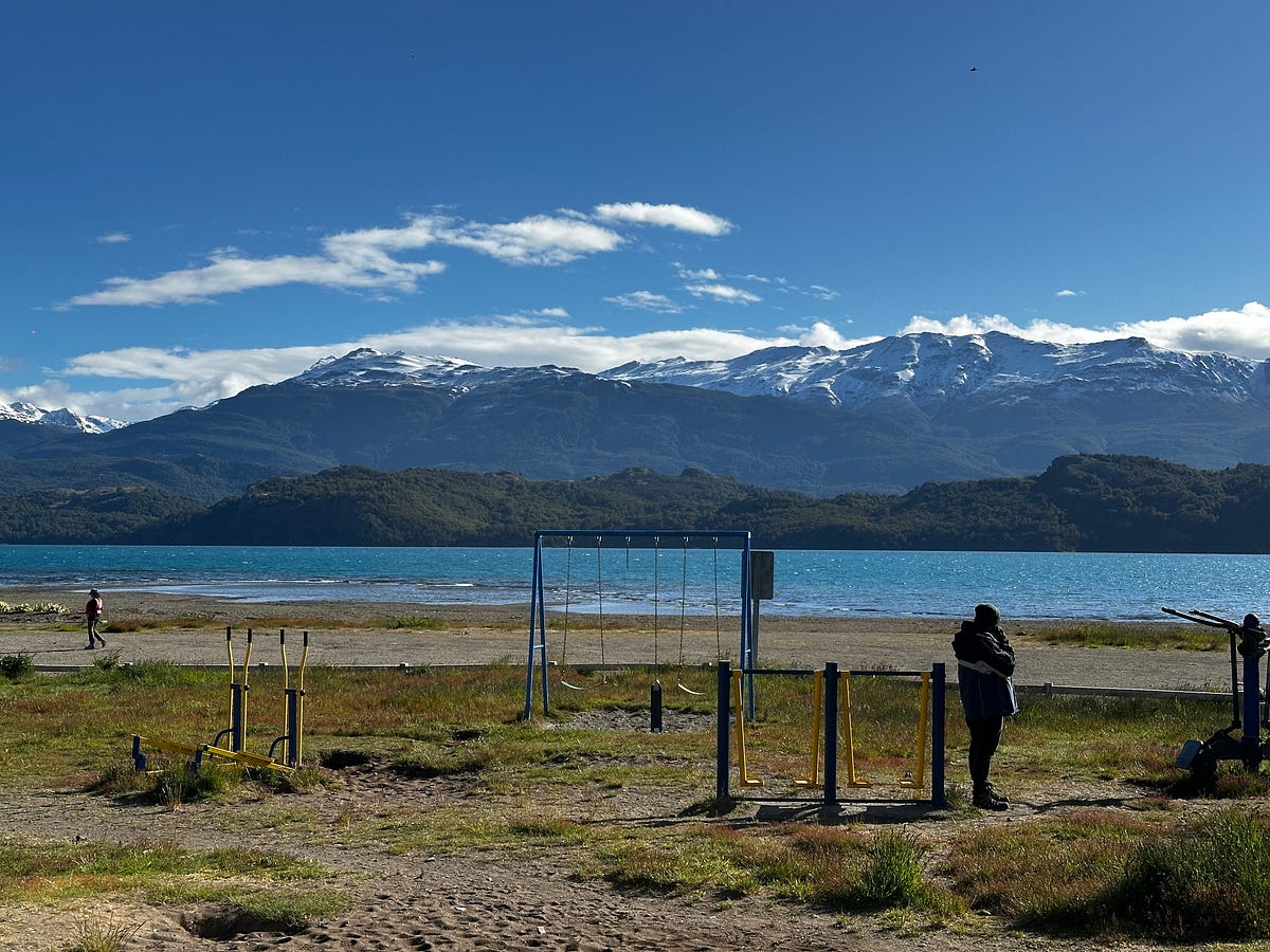
Day two started with low expectations. I was still getting my travel legs under me and getting used to the feeling of sleeping in one of those rural South American AirBnb beds. After stocking the car with more snacks and taking a second shower, I could feel myself starting to feel a bit more grounded. The transition to life on the road is always a bit scatter-brained and i could feel a slow-bubbling of anxiety making this adjustment.
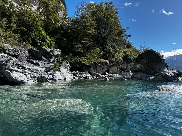
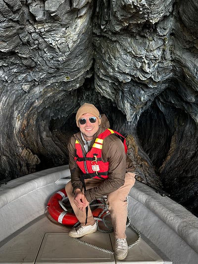
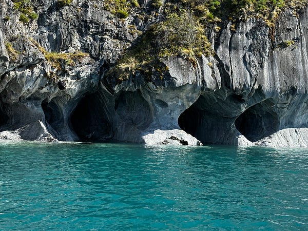
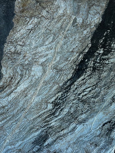
Nevertheless, I threw the bags in the car and left my AirBnb in Puerto Rio Tranquilo en route to my early appointment on the main lakefront-drag to catch a boat to the Marble Caves. Lake General Carrera is the second largest lake in South America and is truly enormous. It’s so big it goes all the way to Argentina and the lake is known. In addition to being known for it’s size, it is also known for it’s beautiful turquoise water. The tourist draw here is a small islet in the lake where calcium carbonate deposits have eroded into a really interesting cave system and turned into marble stone. Although this was a very touristy activity on a boat tour with 7 other people, the pictures sort of do the justice of showing how incredible this cave system is. I had almost skipped this activity but I’m glad I did not.
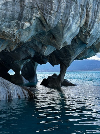
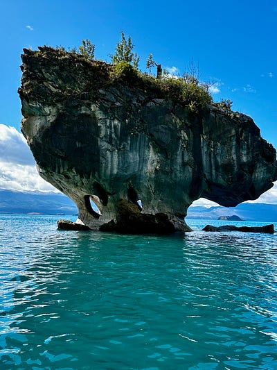
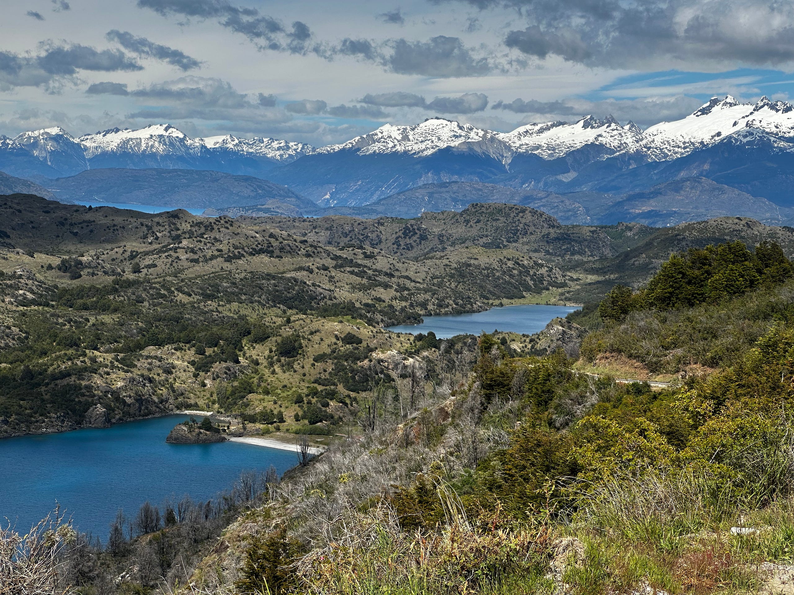
I was on the water at 9:30am and by 11:15 I was already back in my car driving south towards Cochrane, my next destination. By this time it was clear that Patagonia road trips are not like other road trips: the natural beauty surrounding the Carretera is extraordinary, and the road engineering and surveying that went into this project must have been enormous. The drive south started winding around Lake General Carrera and so for 40 minutes i got to see this gigantic turquoise body of water from different angles and with different backgrounds.
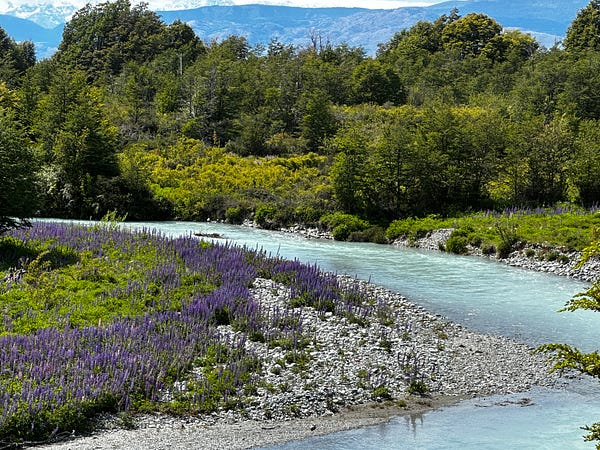
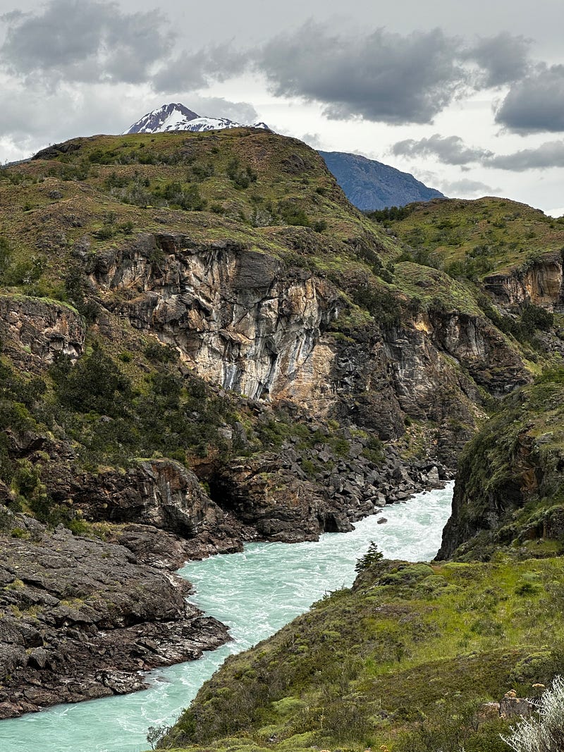
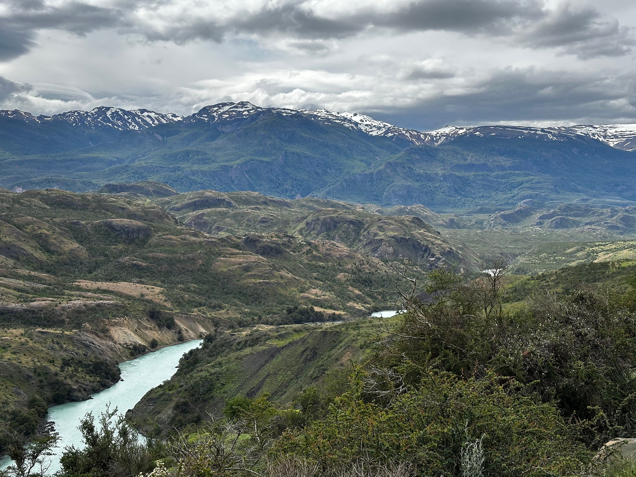
I then continued over the different terrain, moving into the turquoise-water filled drainage of the Rio Baker, which was jarring at first. The Rio Baker is the largest river in Chile measured by volume of water and is bright turquoise from the sediment that it carries. It appears that almost every river that i would pass would have this turquoise color which made them all stunning to observe when seen against the backdrops of brown cliffs and chasms.
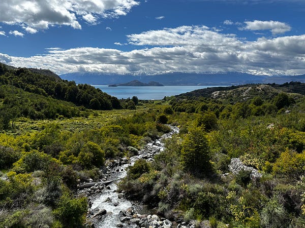
Around 1:30pm I had made it to the turnoff to get into Parque Nacional Patagonia. Before going into the park i connected my Starlink for the first time (a very cool, almost iPhone-level experience) and confirmed that there was food at the lodge (I was extremely hungry). However, upon entering the park and Valle Chacabucco, my focus turned to the jaw-dropping scenery that appeared in front of me. The views are massive, with rolling hills, craggy canyon walls, grasslands, and rivers. This ecosystems is referred to as the Patagonian Steppe, something i had no idea about going in but quickly fell in love with. Moreover, the history of this place is fascinating as it was grazing land for sheep starting in the 1800s but then was purchased in 2004 by Doug Tompkins and his wife for conservation purposes. Eventually they donated it to the Chilean Govt who turned it into the current national park by combining it with other preserves. What a truly legendary legacy he and his wife have left.
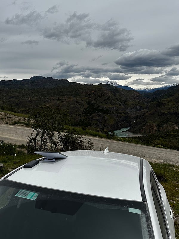
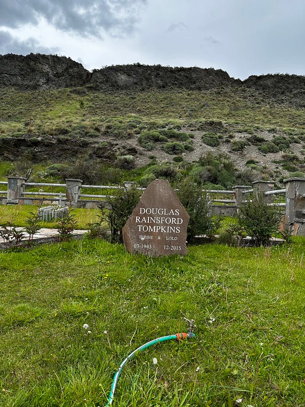
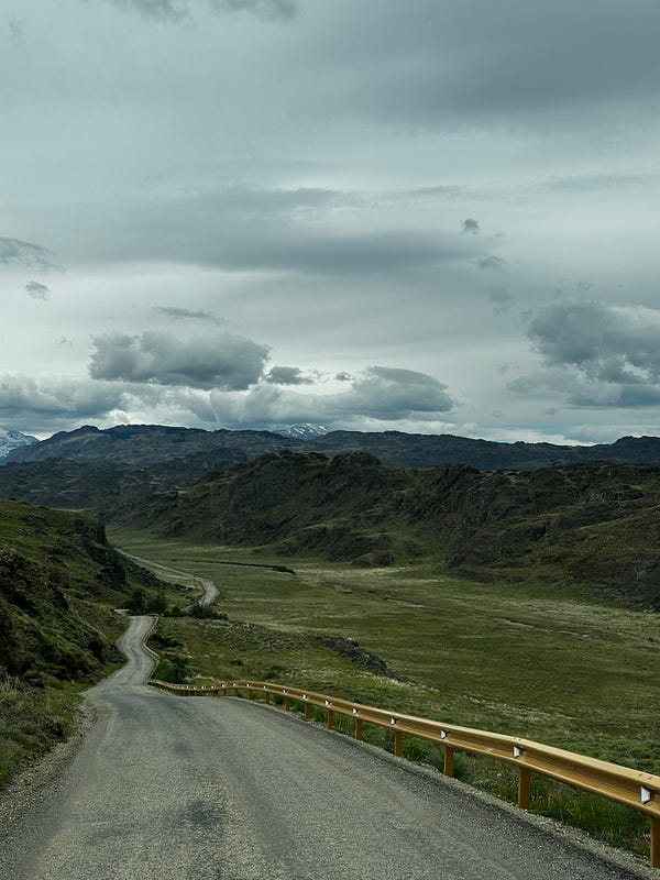
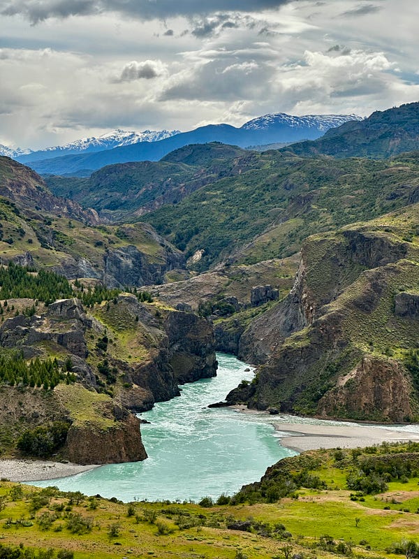
I didn’t have too much time and needed to get to my hostel to organize my things in preparation for the Jeinimeni-Aviles Trek the following day, so i drove into the park, stopped at the gorgeous Chacabucco Lodge to make a lunch reservation for later on and then headed over to the gift shop to have a bite to eat and pick up some souvenirs. After leaving, I paid respects to Doug Tompkins grave and went on a short trail run to get some steps in before leaving. On this trail run it became very easy to understand why everyone raves about this region…and why Doug Tompkins went to such lengths to preserve it. I felt like I was in some epic movie as it seemed like the grass, hills, peaks and herds of guanaco went on forever.
I then drove out of the park, picked up some more snacks in town for the hike (finally i was able to find a legit supermercado), and checked into my hostel in Cochrane. Not much to comment on this outside of the fact that i really should have paid up for a nicer place. Not to say that it was a bad hostel by any means, but I just felt that there was no reason I should be sharing a bathroom at this point in my life when there are hotels or AirBnbs for $30–$40 per night more that are much nicer that this place was. The only memorable part of this night was my conversation with a young Chilean guy who was traveling with his mom, and in the conversation it was the first time I had heard of the town of Tortel. He said that should I have an off-day, I should take a day trip down there (which is advice i would end up heeding).
Day 3: Day 1 of the Jeinimeni-Aviles Trek
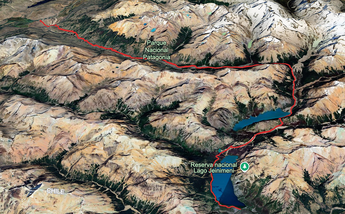
This was only my second morning waking up in Patagonia and I was jazzed. You could smell the pine in the wood-burning stoves — which must be the official scent of the region — and the dampness in the air getting cleared out by the early morning winds. This was going to be a big day and I was excited about it. Months earlier, I had contacted a guide in the Chile Chico/Cochrane region named “Nacho” (WhatsApp: +56 9 7973 3122) who I had found during my research of the Jeinimeni-Aviles Trek in Patagonia National Park. He was to pick me up from the exit trailhead of the trek (Casa Piedra campground in Parque Nacional Patagonia) where I would leave my car and then he would drive me 5 hours to the beginning trailhead (Jeinimeni Lake).
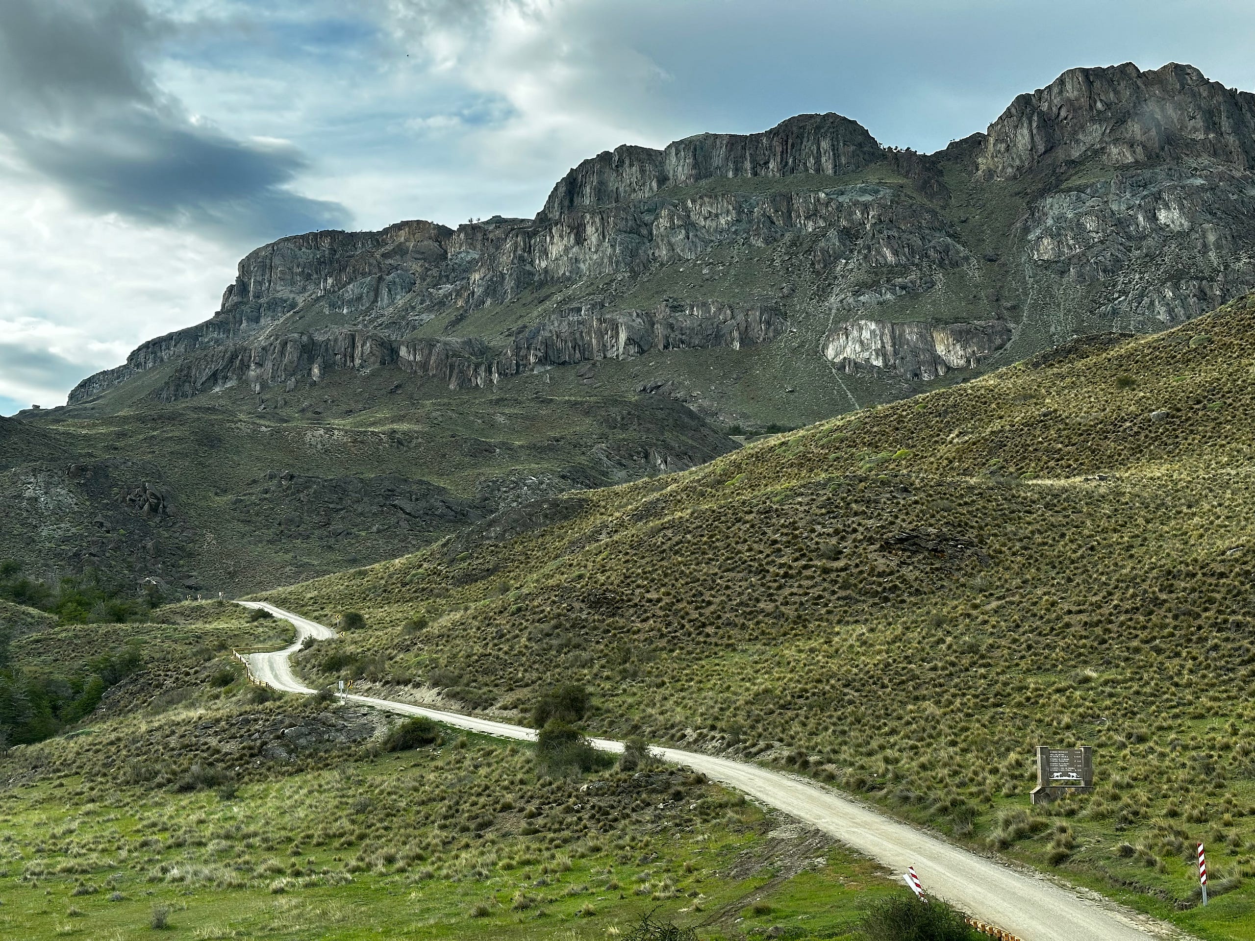
I was up and out of my hostel early as I had prepped everything the night before. Nacho and I had planned to meet at 9am so i left an hour before. The drive through the park was incredible and this time i went further than the day prior, leaving the Valle de Chacabucco region and entering the Valle de Guanaco (or thats at least what Nacho called it). This part of the park blew my mind similarly to the day before. I was engrossed with the scale of the landscape: a massive valley filled with endless rolling hills, peaks, and streams.
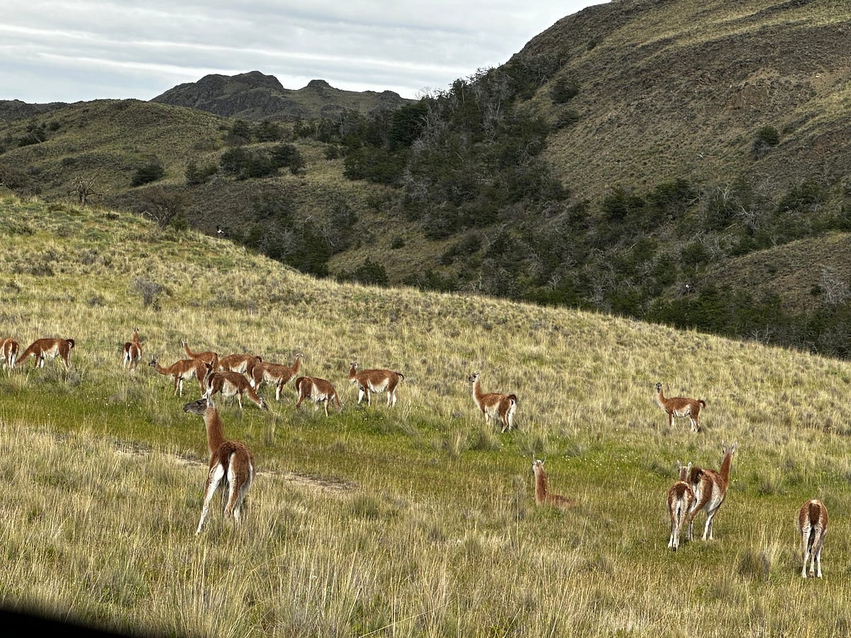
I met Nacho and we hit it off right away. We jumped in his truck and started the drive. Although his english is so-so and my spanish is almost non-existent, we got by with emojis, google translate, and Spanglish. We spent the entire car ride talking about the area, talking about where we both come from, looking at animals, and talking about my trip/where I should go while up north. After driving along the General Carrera Lake towards Chile Chico for what seemed like forever (you really get to see the scale when you drive this road), we made it to Lake Jeinimeni in exactly 5 hours. I learned a lot from Nacho and I hope our paths can cross again in the future.
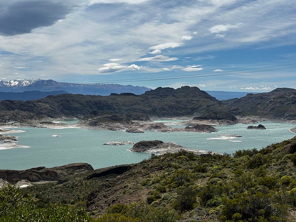
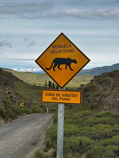
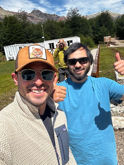
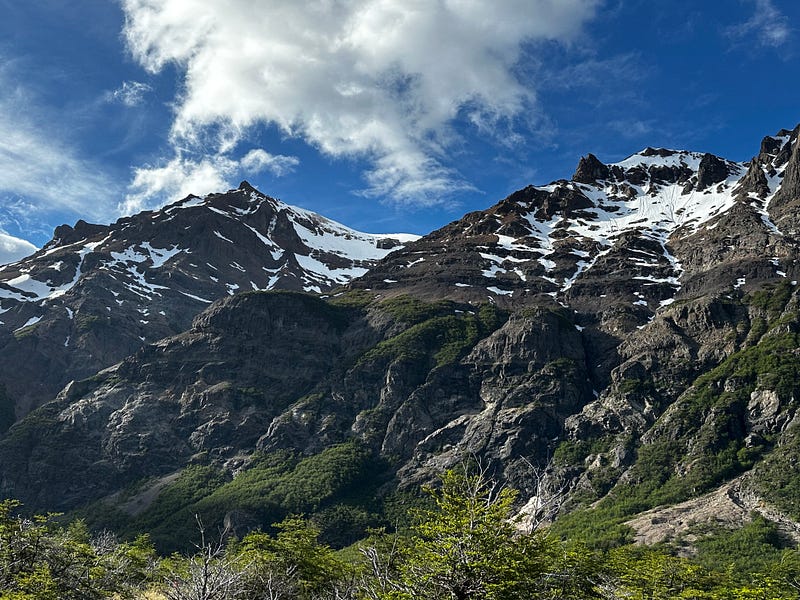
I registered for the hike at the ranger booth and was on my way by about 2:30. I originally planned to do this hike in three days and thus I was advised to make it 10 miles in the first day to Valle Hermosa per my discussion with Nacho. The beginning of this hike is one of the highlights: Lago Jeinimeni is totally gorgeous. It is an enormous classic alpine lake surrounded by huge peaks. Although it was windy, it was nice to be able to walk in the sun for this entire day. After making good time circumnavigating the lake, I made my first mistake taking a wrong turn. I then tried to correct this by hopping off-trail to intersect the correct trail but this turned out to be stupid since i just found myself buskwacking through annoying, wet, and muddy bogs. I should have just retraced my steps and it would have taken the same amount of time. After another 2 miles or so, i ended up in what looked like a glaciated river valley which was a beautiful change of scenery with great views of a few surrounding peaks. This area was full of water crossings and it only took me a few crossings to give up and just commit to having wet feet for the day. After about 7-ish miles, the trail turns to climb over La Gloria Pass. It’s not very high up (1100 meters) but the trail is virtually straight up 600 feet or so and for that reason was slightly difficult. This is also where I learned that in Chile, they dont believe in switchbacks.
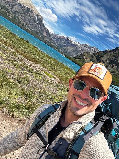
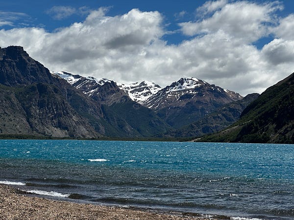
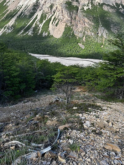
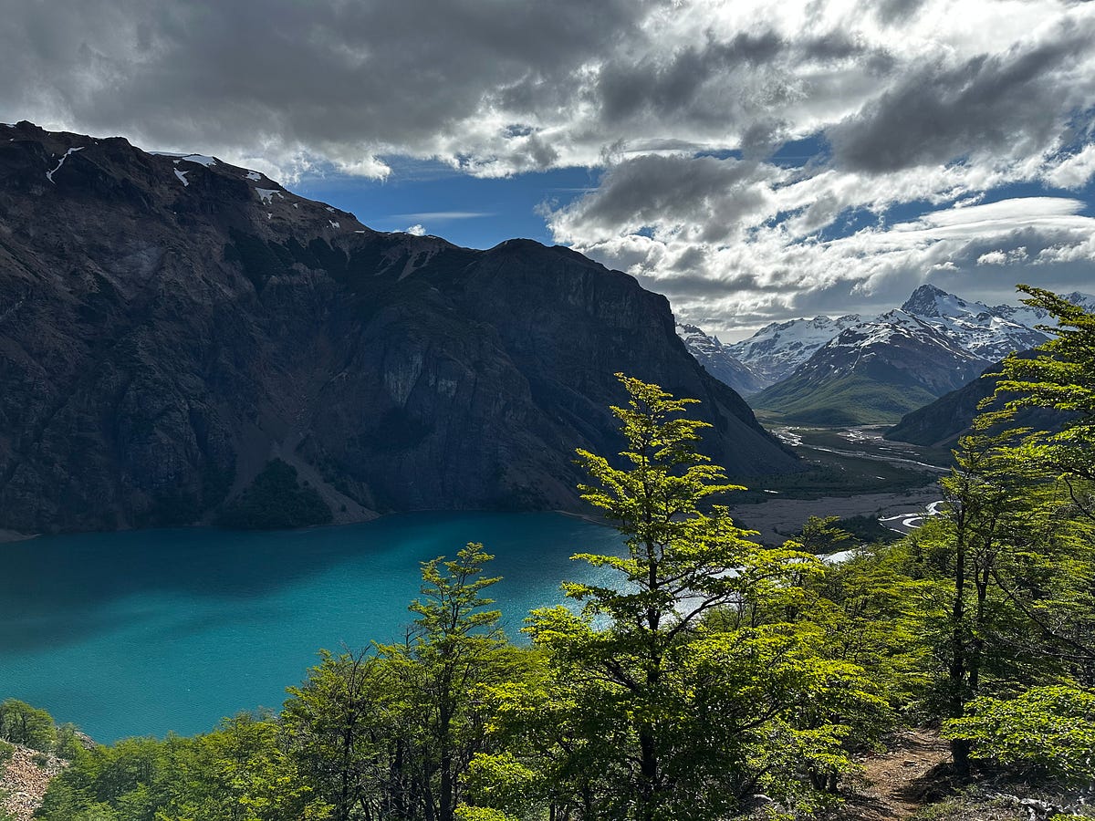
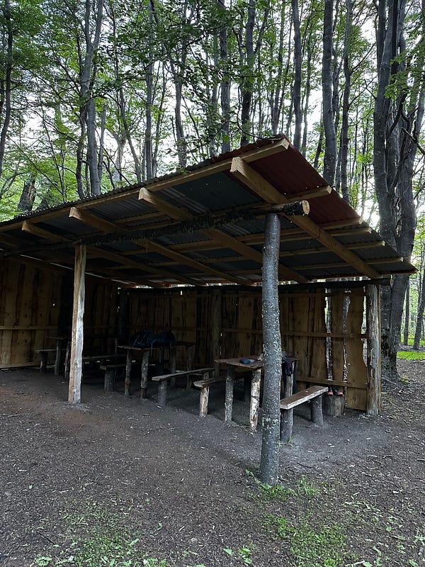
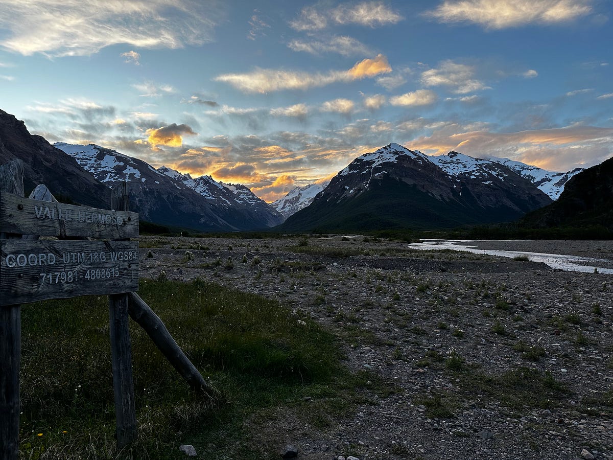
It didn’t take too long but by the end I was huffing and puffing while looking over the beautiful view of Lago Verde, which is as green as advertised and, generally speaking, a worthwhile destination on its own. Descending down to the lake you start to get a fantastic view of Valle Hermosa which is where I would be spending the night. Before long I was just under 10 miles on the day and exploring the campground amenities for my first night in the Patagonian backcountry. Similar to what i would notice throughout my trip, in Patagonia they put the camping areas in the trees, likely to help shelter from the wind (which had blown all hike), versus out in the canyon so you can enjoy the views. It even came with tables and a primitive backcountry toilet.
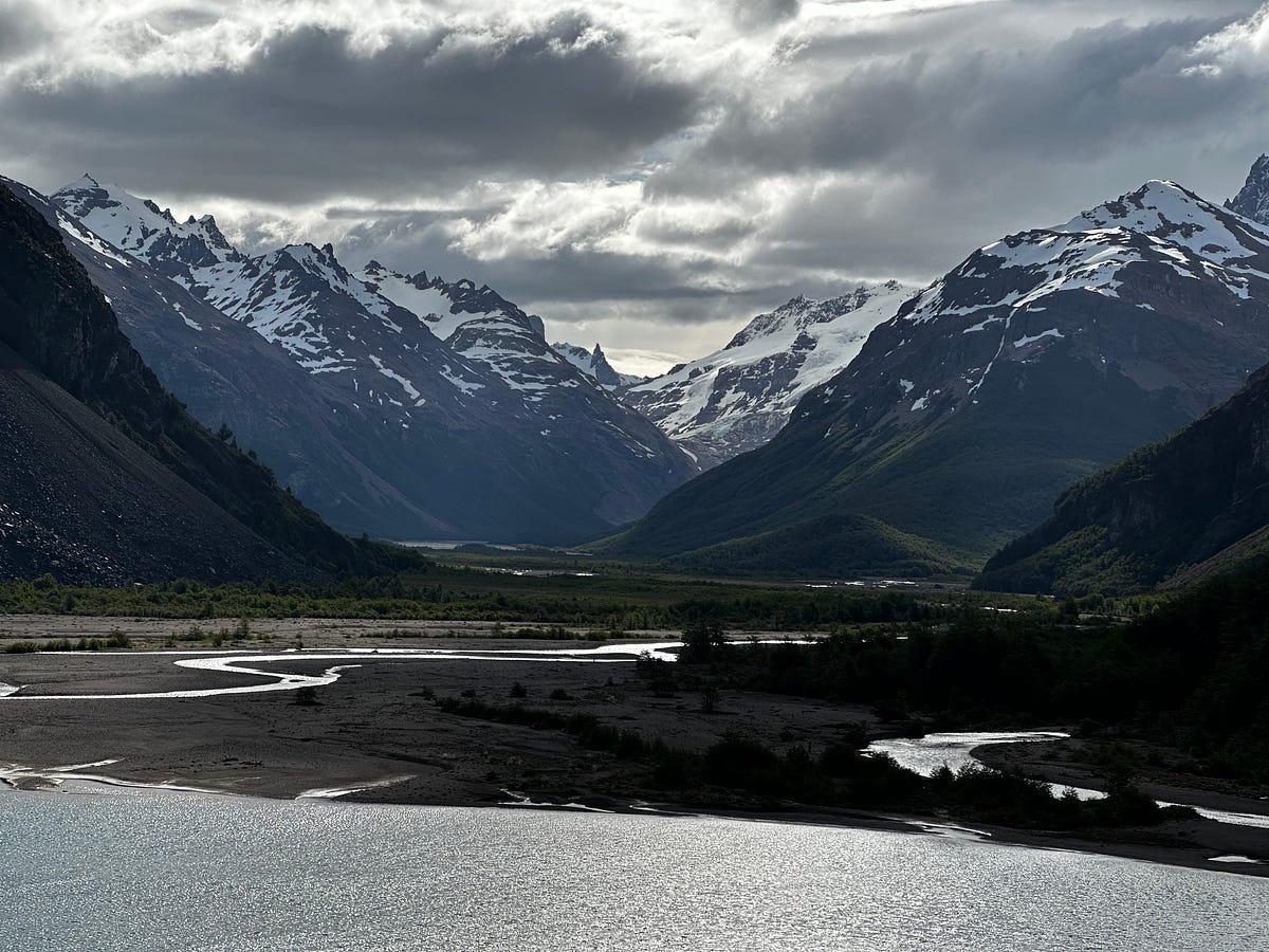
I quickly changed into dry and warmer clothing and started working on dinner so i could eat it while enjoying the sunset back out in the canyon. Peaks and ridges everywhere, laying against a rock, and a hot meal in my lap….this was heaven for me. It was a long day and I was tired, but i felt accomplished and content with what turned into an excellent day of hiking. I finished dinner, did a bit of laundry, laid out my clothes for the morning sun, and then curled into my sleeping bag before it was dark (which is around 9:30pm).
Day 4: Day 2 of the Jeinimeni-Aviles Trek
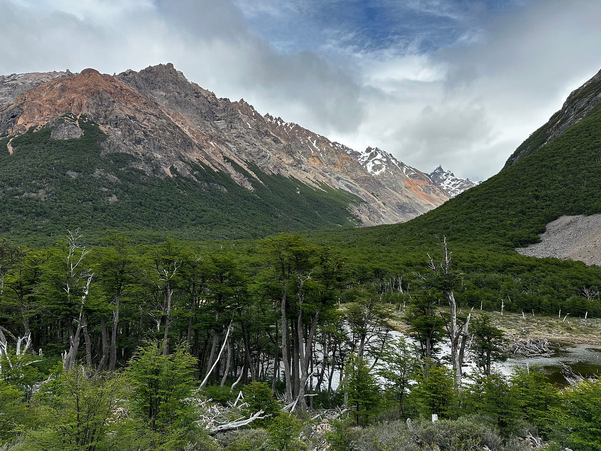
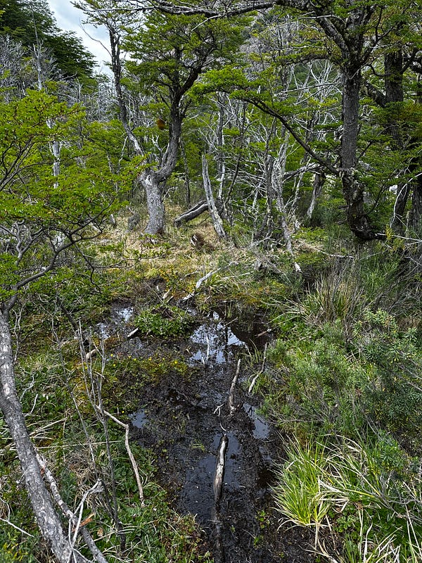
I slept well with no alarm and was up and on the trail around 10am. I had no plans for where I wanted to stop and told myself that whenever i passed a campsite, I would make the judgement there about whether or not I wanted to stop for the day. After a few miles the trail turns out of the Valle Hermoso, which was totally open with big canyon walls and peaks and into the forest to do a bit of climbing. It was a pretty forest but I’m not much of a woods guy and after a few miles more I was thrilled to get my first view down into the valley of the Aviles River. The trail was similar to yesterday in the sense that there were a decent amount of river crossings with a few muddy spots, and sometimes the trail became difficult to find. There was one moment where the trail actually goes down the side of a cliff which took some trickery to navigate but was able to do so without having to lower my pack.
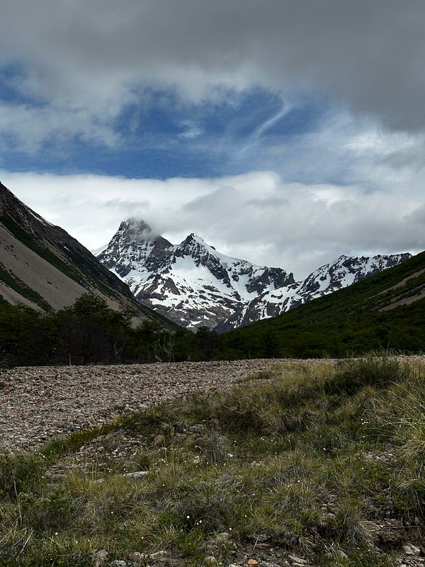
I decided to stop for lunch around 1:30pm after about 9.5 miles of hiking along the beautiful banks of the Aviles River. It seemed like I was officially starting to change ecosystems and re-enter the Patagonian Steppe section of the park. No longer was i looking at steep, glaciated canyon walls and escarpments. The canyon really opened up and I was able to enjoy the huge canyon walls, grass, waterfalls, and huge views down-valley over a pot of Public Goods noodles.
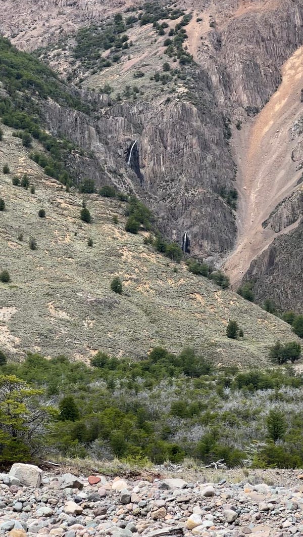
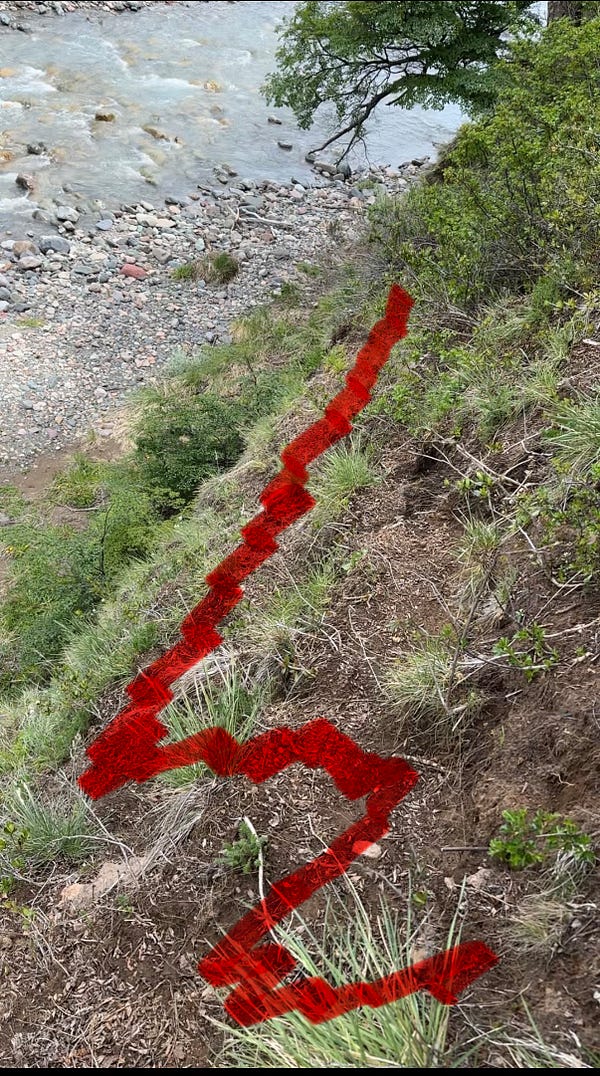

At this point, I was 10 miles into my day and my legs felt great. I had a little soreness but i felt like I had a lot of hiking left in me and also 8 hours of daylight. The rest of the trail was only 10 more miles and I was starting to ponder the idea of going all the way to car. I’d have to figure out where to sleep, but the trail was beautiful and i really didnt want it to stop plus I knew a 20 mile day isn’t out of the question when there isnt a lot of climbing to do.
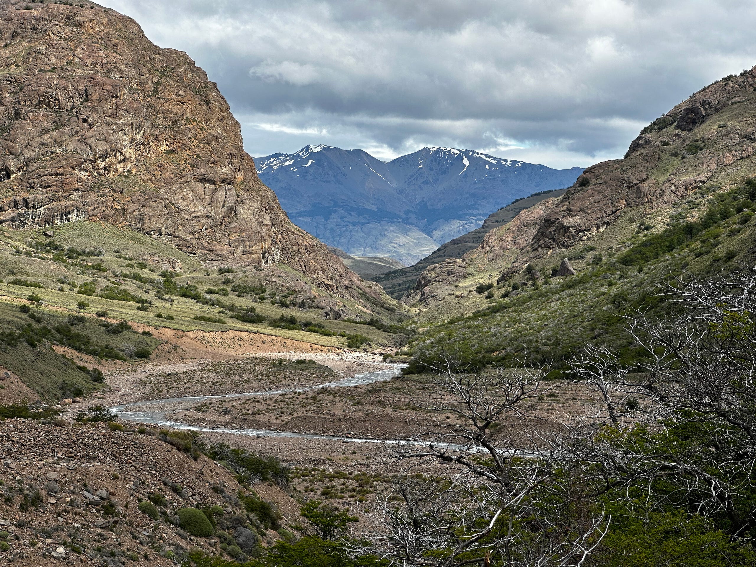
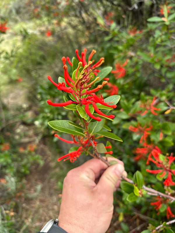
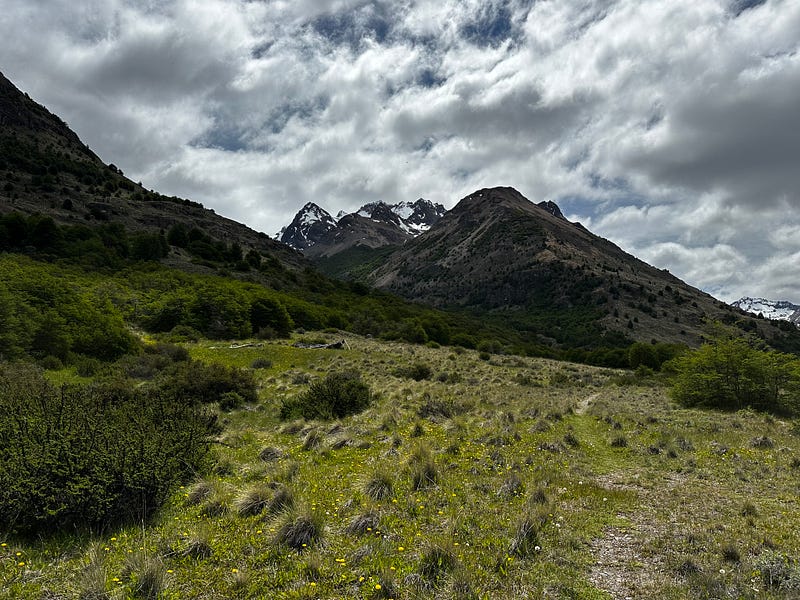
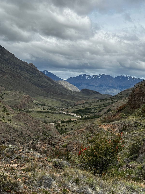
The trail simply kept getting better and better: the river chasms melting through the canyon floor, rolling grass hills, huge walls on both sides, with wildflowers soaking the landscape around me. I’m going to let photos do the talking here. I was buzzing and on cloud 9 and had difficulty going even 1 mile without taking my phone out to take more photos.
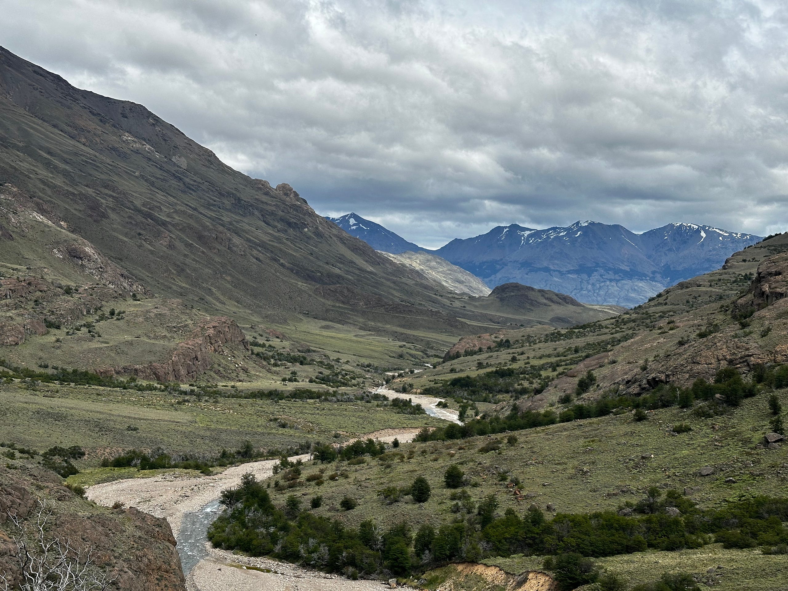
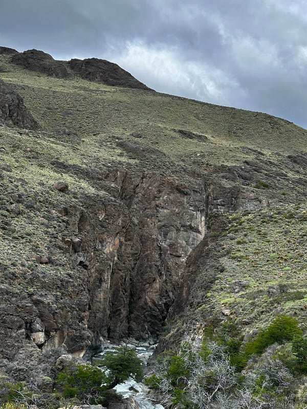
I think i passed the final campsite at around 3:30/4pm and with that much daylight remaining i officially decided that I was going to send it all the way to the car. This really wasnt that hard of a decision to make with how good my legs were feeling (20 miles with minimal climbing is not too crazy for me). Plus, i was thrilled to keep indulging in the landscape. About 16 miles into the day I finally saw my first other hikers: a group of college kids and then another group, both of them going in the opposite direction of me.
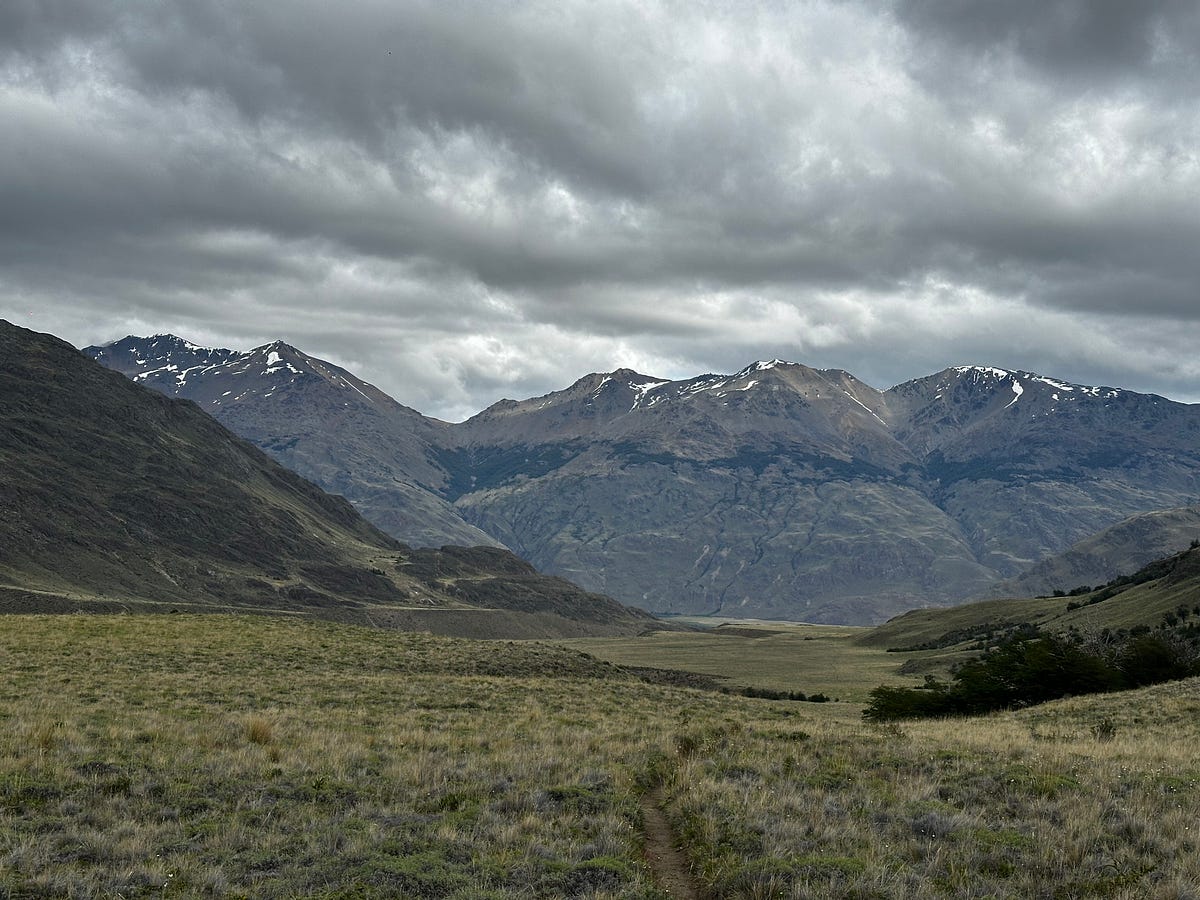
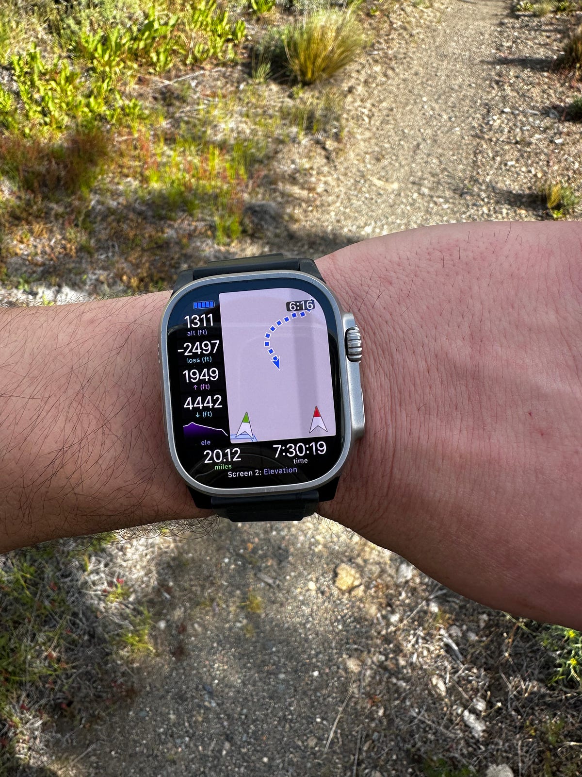
I walked into Casa Piedra amongst some beautiful (yet windy) weather at about 630pm. I would have loved to camp here but I didnt want to spend another night in the wind if i didnt have to. I chatted with the ranger and then setup the Starlink to get some wifi so i could communicate with my Airbnb in Cochrane. Thankfully, I was able to chat with them and they said it was no problem for me to come a day early. I was grateful, but realized that this is par for the course in most of these rural Patagonian Airbnbs. Almost every host i encountered was unbelievably hospitable, accomodating, and helpful.
*One note about this part of trip that I wish I had known is that there is a border crossing if you continue east through the park (past/through Valle De Guanaco). I heard that it is a beautiful drive. Then, once you’re in Argentina, you’re only an 8 hour drive from El Chalten. It’s easy to say in hindsight, but i wish I would have known what was possible and made this trip one continuous drive from north to south instead of having to blow days flying and returning cars.
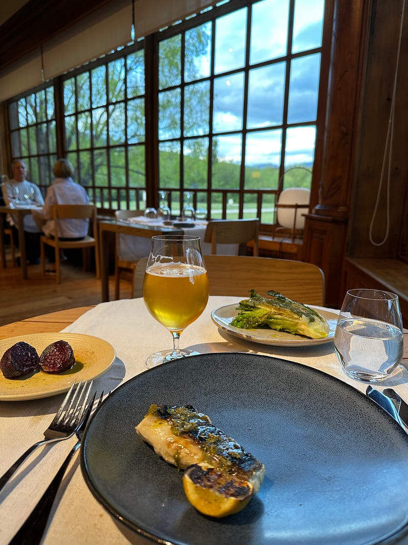
I cruised out of Valle de Guanaco— gawking at it’s ridiculous beauty once again — and popped into the Lodge at Valle Chacabucco to ask if I could change my reservation to dinner tonight (versus tmrw). To my surprise (I was turned away last time for trying a spur of the moment dinner), they obliged after talking to the chef. What a way to cap off a 30-mile trek! I plopped down at a window table and immediately ordered a beer. Again, I marveled at how awesome the Lodge is, and I let the management know that I really appreciated them accommodating me given how hard it is to maintain such a luxurious establishment in such a remote location. She appreciated that i noticed and we chatted for a few minutes about how difficult it is to maintain the operation and how entitled some of the guests are, not understanding how difficult luxury hospitality is in such a remote location. I felt bad that people take the Lodge for granted. It is so, so difficult to maintain the proper service and food standards like they do when the only nearby town is Cochrane which is barely 2500 people. At any rate, I was thrilled to have such a high quality meal with so many fresh vegetables which I was completely lacking since landing in Patagonia.
I finished the meal, thanked the staff again, and made the hour long drive back to Cochrane for my Airbnb. This place was fantastic: a nice but no-frills rustic little cabin on the Rio Cochrane with a gorgeous view of the river. The host already had the fire going which was such a nice touch to walk in on. I hopped in the in the shower, chatted with Ariel and my family, and passed out with a fat grin on my face...what an epic day.
Day 5: Rainy rest day in Cochrane
One of the other reasons I wanted to push out of the Jeinimeni-Aviles trek early is due to the fact that there was the possibility of rain in the forecast and I thought it would be better to push out tired and dry versus pushing out soaking wet the following day. My fears were confirmed and it rained all morning. Not too hard, but enough that it would have been annoying and I felt great in my dry, warm Airbnb with a view of the Rio Cochrane.
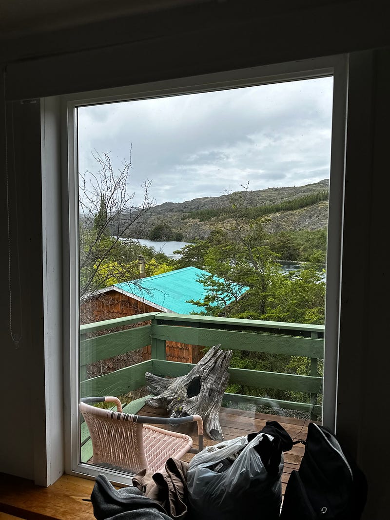
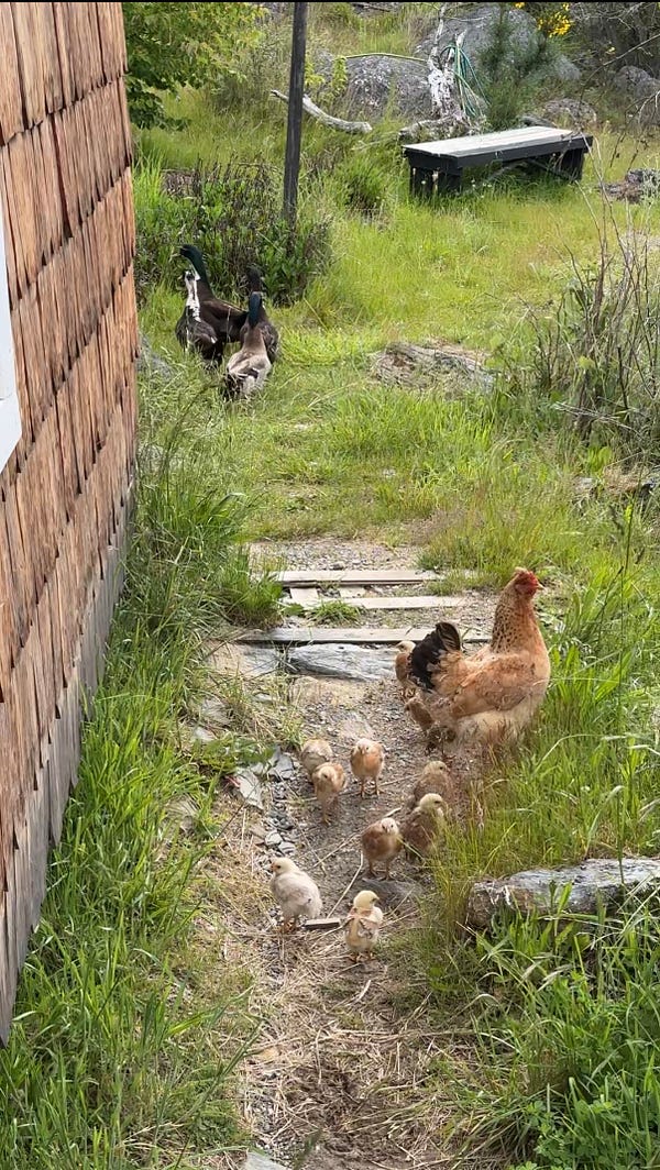
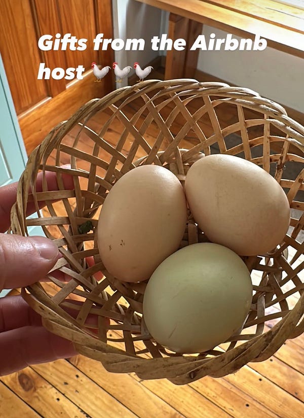
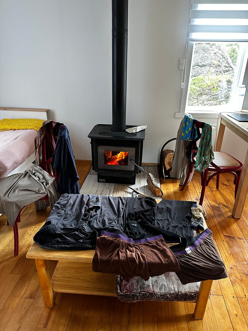
This was meant to be a day catching up on laundry, work, and groceries while also recovering and letting my legs rest. They were sore from the 20 miles the day before and i spent plenty of time stretching. After washing my laundry in the sink and eating a sandwhich (I made 3 in one day since i really didnt want to leave the house), i spent the day on my laptop working away and Facetiming with friends. Nothing else to note really. This was my first rest day and I was happy to just relax in such an awesome space. To top it off, I had unlimited wood to warm the place and my Airbnb hosts gifted me a couple of eggs for me to make for dinner and breakfast that were straight from the chicken coup…a moment that as an urban American citydweller you really only get while traveling.
Day 6: Tortel
Yesterday I texted Nacho telling him that i had finished the trek a day early and needed a suggestion of what to do with my extra day. I had mentioned either hiking or taking a road trip south to the small town of Tortel and he insisted that if i had the appetite to drive, then I should definitely go to Tortel given how unique and beautiful it was. I agreed, especially since Tortel would likely be one of my best opportunities to take a tour of the Patagonian fjords since it was situated at the end of one. Moreover, the night prior, I had contacted a tour operator to get out on a boat to an island nearby and I thought this would give me an even better view.
I took off early in the morning since it was a 2 hour drive south from Cochrane. As per usual, the morning air was thick with the smell of burning pinon. Tortel is only about 3 hours away from Villa O’Higgins, which is the end of the Carretera Astral, so the entire drive is through extremely deep canyons with cliffs on all sides and a very “end of the world” kind of vibe. The last section of the drive is along the Rio Baker, which empties into the ocean at Tortel. By this point, it is truly an enormous river with such a deep canyon and a large delta at the end. After a few hours of driving, I made it into town and picked up breakfast before heading over to the tour.
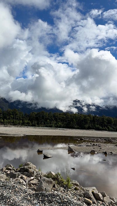
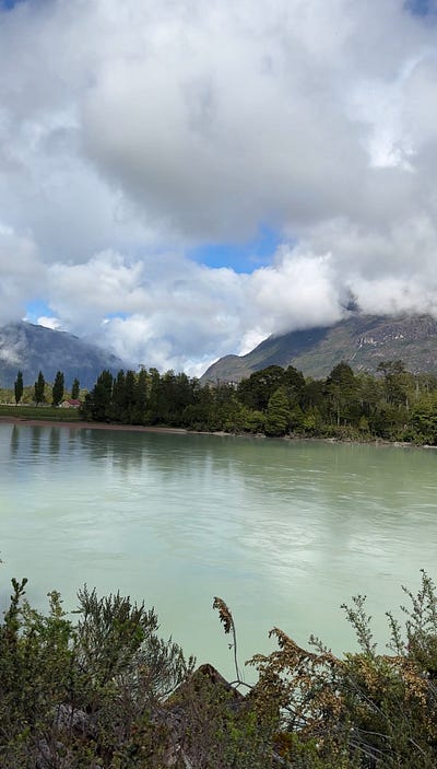
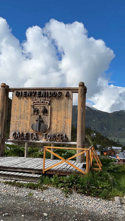
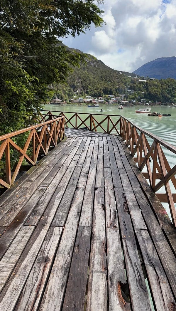
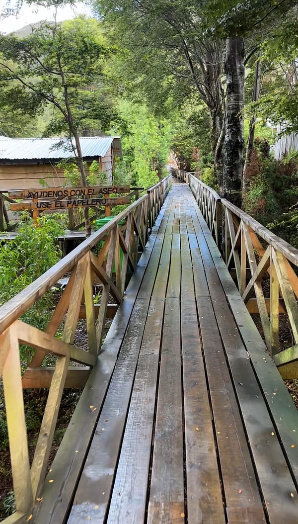
The main draw of Tortel is the fact that the city is totally without streets and cars. You park your car at the top of the bay and then you walk down and through the town via 9kms of side-walks built out of cypress wood. Apparently these sidewalks were an idea of a citizen years ago when the lumber industry was dying out and the town needed a way to attract tourism. It seems to have been a great move, as the town seems to be thriving with construction going on in multiple parts of the city. The town and walkways are really beautiful, lined with colorful houses, shops, and hotels amongst a lush forest and views of the bay below.
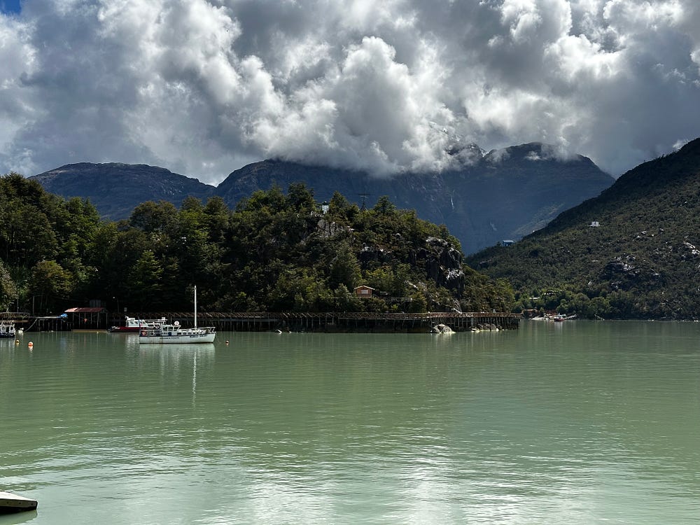
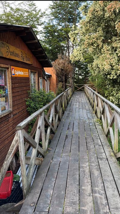
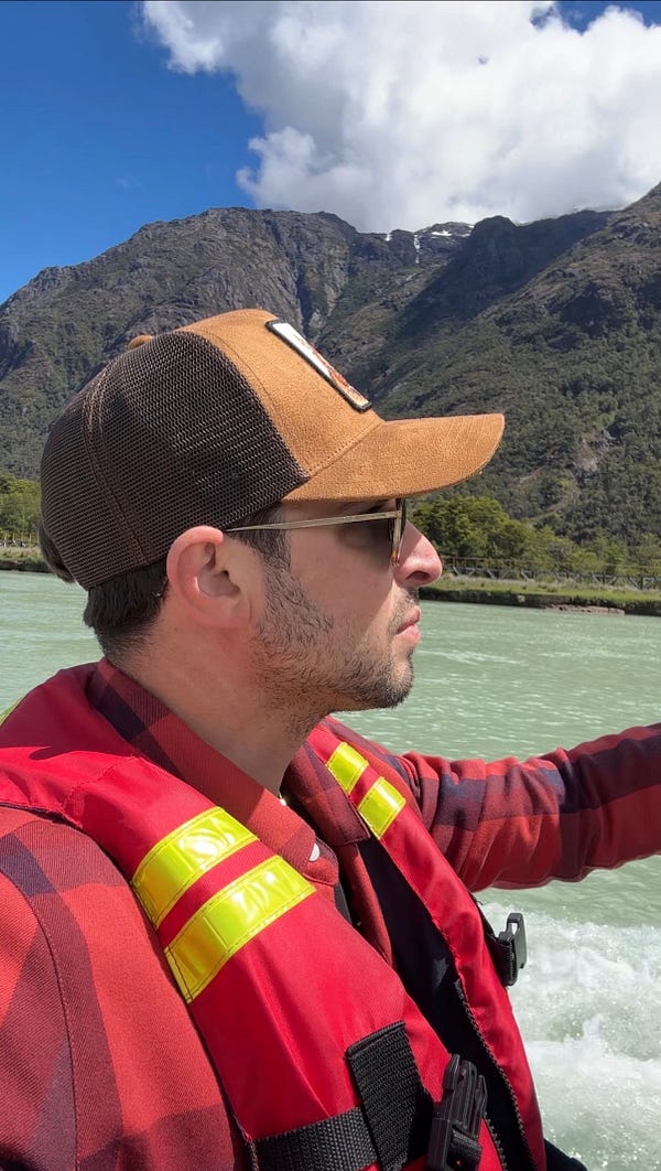
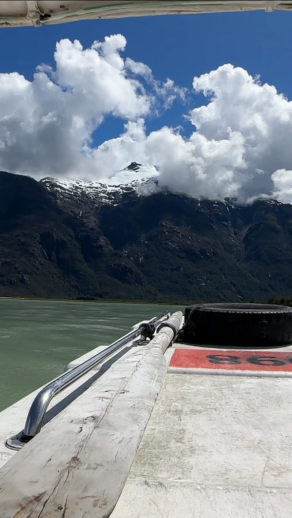
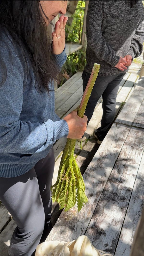
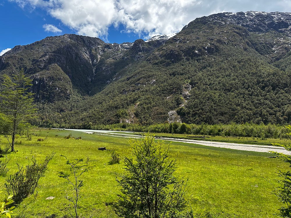
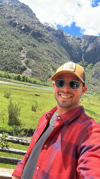
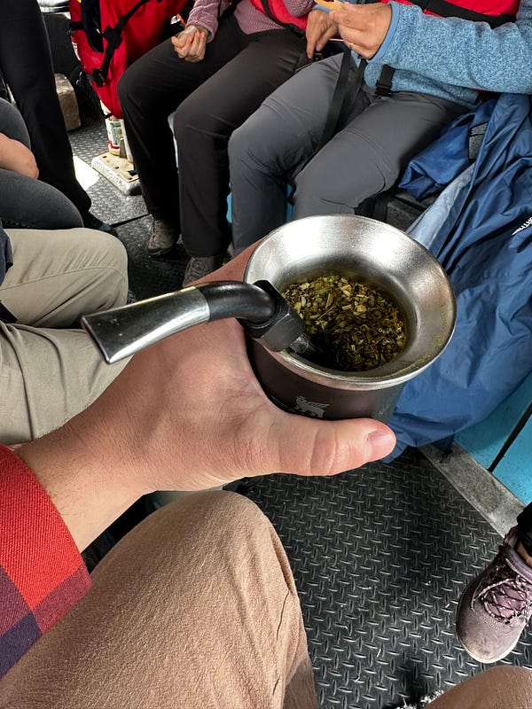
I arrived at the dock for the tour (Thomas, WhatsApp: +56 9 9331 4949), got on the boat, and started the tour. The tourguide was Spanish-speaking only, but i was there mostly for the views and one of the other people on the trip was able to do a bit of translating for me. It was immediately clear that this was a good idea as getting to sail through and around the fjords was very cool. Being able to get out on a boat to see the outlet of the Rio Baker was also a great experience, seeing the massive delta and how it effects the surrounding environment up close. We birdwatched a little and then headed to Isla de los Muertos to disembark and walk around the island. Isla de los Muertos is an island with a tragic history. In the very early 1900s, there was a settlement from a logging company that was essentially abandoned by the logging company and forced to ride out a Patagonian winter on a different nearby island. Something like 60 people died and Isla de los Muertos is where they buried the dead and the graves are now a monument. We walked around, were shown native plants and birds, explored and took photos of the flat, low-altitude island in the middle of the Rio Baker delta. We finished the tour with snacks and a mate’ tea session, which was nice with 7 other Chileans as mate’ is an important part of their culture.
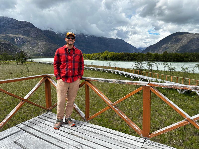
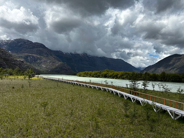
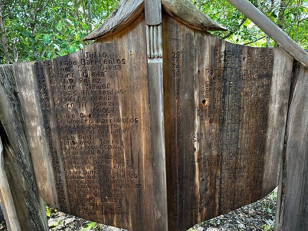
After the tour, I said my goodbyes and went for another walk through the town. I asked the folks on my tour what the best restaurant was and they recommended Calafate. It was high-end Chilean cuisine, but I didn’t mind paying extra for the quality and for the possibility of some fresh vegetables since it had been so tough to find then in Cochrane.
The drive back to Cochrane was in a total downpour, but luckily i had no issues. The car was doing quite a bit of of slipping and sliding on the very-wet dirt road, but reducing the speed was enough to keep the drive safe.I made it back in time to make some dinner, handle a bit more work, and pack up for my departure north in the morning. The first leg of my trip was coming to an end but I was totally thrilled about the future given how well this part had gone.
Day 7: Leaving Cochrane and driving to Cerro Castillo
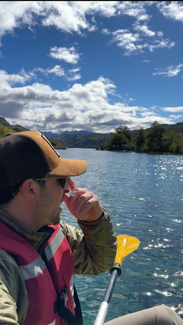
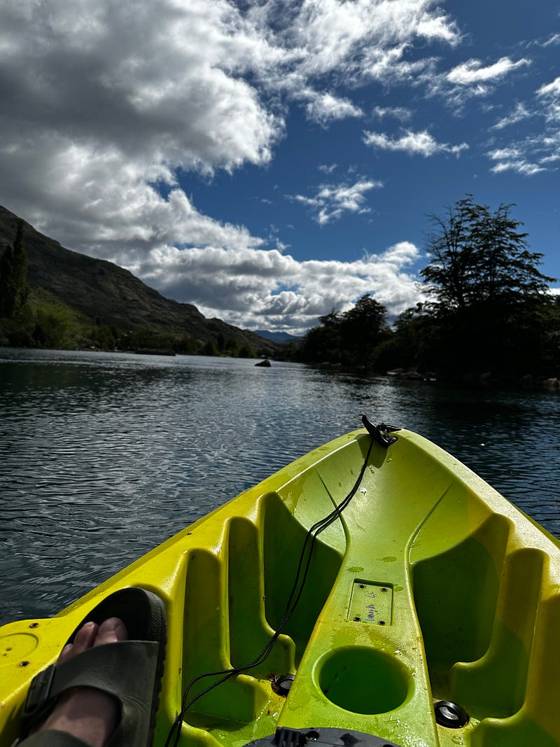
I woke up this morning and was surprised to see sunshine and just a few clouds. After i loaded the car, i headed down to the little dock at the Airbnb that contained the kayak and I paddled out. It was quiet, no wind, and the water was flat and clear. Being from California and not used to seeing so many wild rivers, I’m still blown away by the size and clarity of the Rio Cochrane, which is an average river for this part of Patagonia. I explored the river and both sides of the coastline for maybe a 30–40 minutes and then made my way back to the car to get going north.
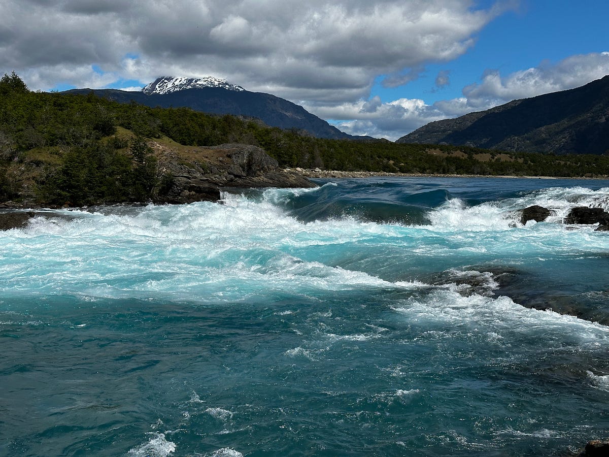
As it was on the way south, driving north from Cochrane towards Rio Tranquilo was gorgeous. Lush rolling hills and huge brown canyons filled with deep blue or turquoise rivers filled every view. About 45 minutes into the drive I stopped at the trailhead for the short walk to the confluence of the Rio Neff and the Rio Baker. This is a popular short hike to see the confluence of two large rivers, mostly known for the intense turquoise color you get to see up close (versus up at the top of a canyon wall). Its a nice place to get out and have a snack overlooking the water. I hustled back and kept going, passing Puerto Bertrand where I stopped to look for food. Although it feels like it’s truly in the middle of no where with very few services, Puerto Bertrand is somewhere I’d like to return to. Firstly, there are some very well known fishing outfits that base themselves out of Puerto Bertrand who fish the Rio Baker, which is where you’ll find some of the best fishing in Patagonia. Also, between Puerto Bertrand and Rio Tranquilo, you can explore numerous valleys that get you into Laguna San Rafael National Park (aka the Northern Patagonian Ice Field), which is a place I’d like to explore more via foot and kayak.
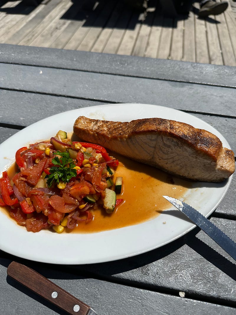
I pushed on and stopped in Rio Tranquilo for lunch around 2pm. The notable thing about this stop was the fact that I had one of my best meals on the entire trip during this stop. As i said earlier, Rio Tranquilo is a small town on the shore of Lago General Carrera, which has a salmon fishing season that goes year round. You can actually find wild caught salmon all over this part of Patagonia, but I didn’t know this going in and happened to walk into a restaurant during this stop where the chef recommended it. “Where are you going to find a wild caught salmon for this price?” He was spot on. Out came an enormous piece of wild-caught salmon that in Los Angeles would have easily been $65 but here was ~$21. It was tasty and perfectly flaky and from that point forward I recommended this restaurant to everyone.
I finished the day with a drive from Puerto Rio Tranquilo to Villa Castillo. This was also the first time I picked up a hitchhiker who was also making the same trip as I was. He was an Israeli hitchhiker named Saar who was studying to be a doctor. We chatted throughout the drive and made it to Villa Castillo by late afternoon. After checking into my hostel, organizing breakfast and a ride to the trailhead, and preparing my pack for tomorrows start of the Cerro Castillo Trek, I still had a good amount of daylight and time before dinner at my hostel. I headed about 10 minutes outside of town to check out the painted hands museum hike which features hand paintings from the indigenous people of the area that are a couple thousand years old.
After a dinner of very mediocre spaghetti and meatballs, I crashed early with an alarm set for 630am to start another few days of hiking.
Day 8: Cerro Castillo Trek — Day 1
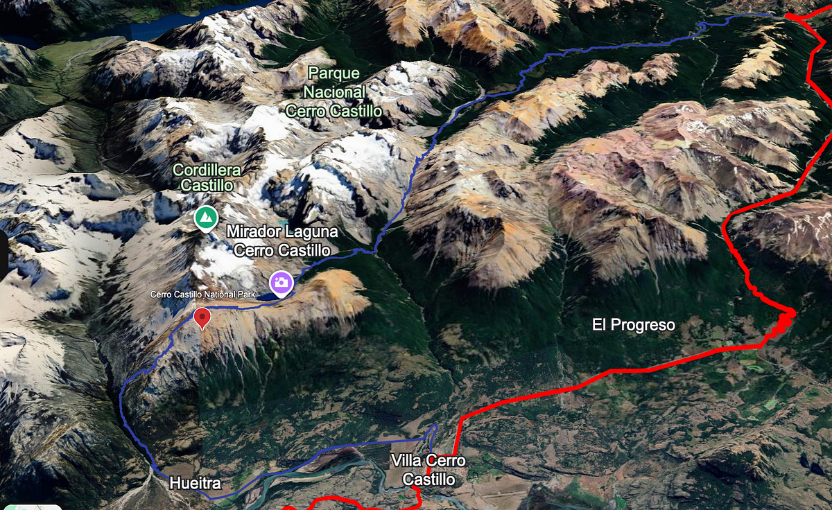
I ate a 7am breakfast at the hostel of fruit, cold-cuts, bread, and coffee and got a ride from the guy who managed my hostel. It wasn’t the most economic choice, but it allowed me to not waste any time and i didn’t feel like his price was too egregious. We left the hostel at 730am — leaving my car and non-backpacking gear in the trunk of my vehicle — and I was at Harqueta (the TH for the Cerro Castillo Trek) hiking by 7:50am. It was a chilly morning — my iPhone weather app had it at 45 degrees F — but the sun was shining so i knew it was going to be a great day.
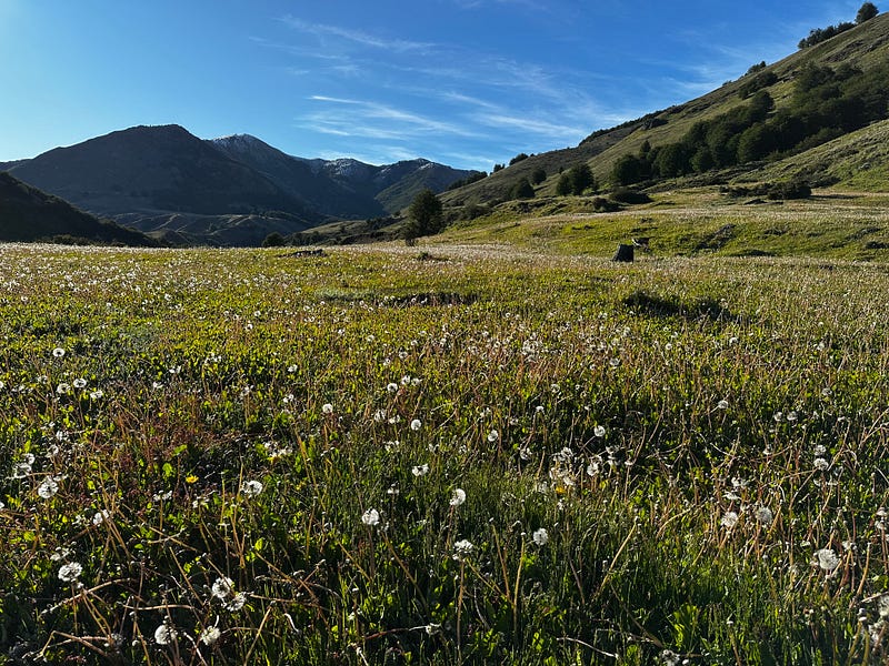
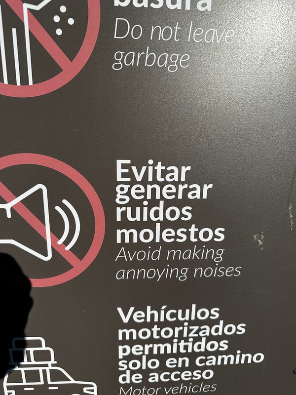
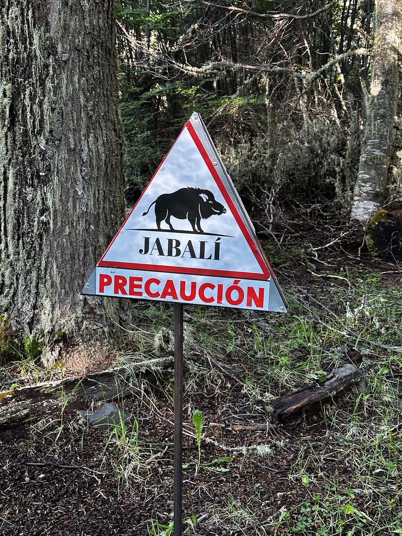
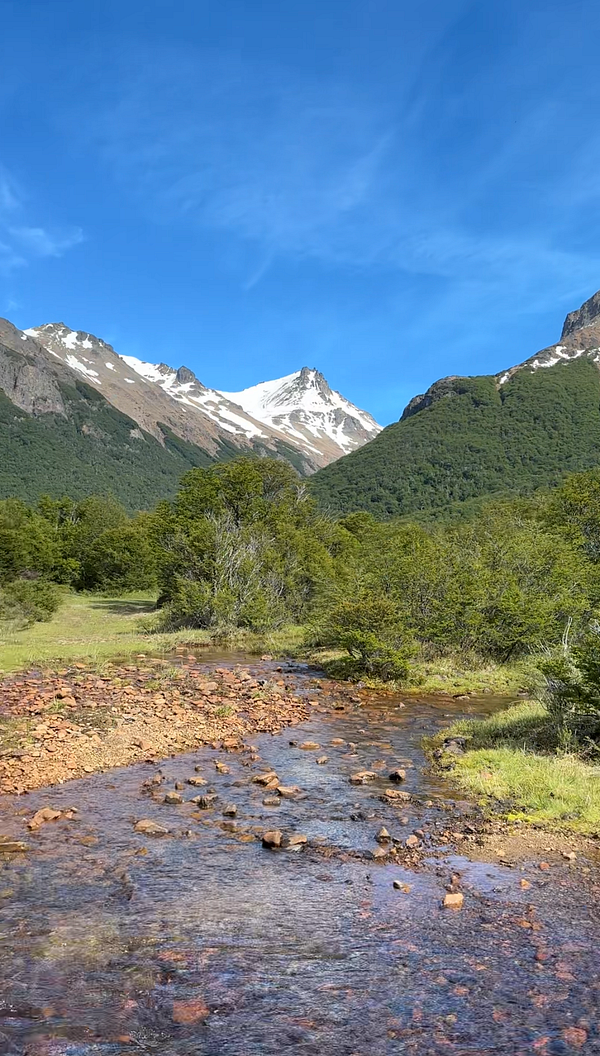
The Cerro Castillo Trek is a 30mi+ hike through Cerro Castillo National Park, exploring a variety of different ecosystems and bringing you up close to the lagoons, glaciers, and peaks that surround Cerro Castillo. It also gives you a ton of different angles of this strikingly beautiful peak. Castillo means “castle” in Spanish and I was interested in seeing the other sides of the castle. Starting out from the Harquetas trailhead, you meander through lush green fields of grass, flowers and streams. It also appears that the first couple hours of hiking are in and around private land as it appears the hike follows a 4x4 track, passing multiple cattle guards and fences. Even stranger, for the first time, I saw signs that said to watch out for Jabalis, which are Patagonian wild boars. This kind of freaked me out. Although it was beautiful in parts — the fields of grass and wild flowers were picturesque — I did find the first 5ish miles of the hike to be a bit boring due to a lot of it being under the forest cover.
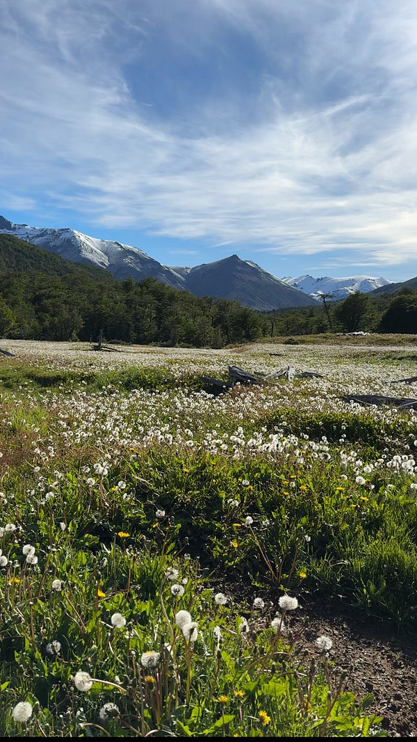
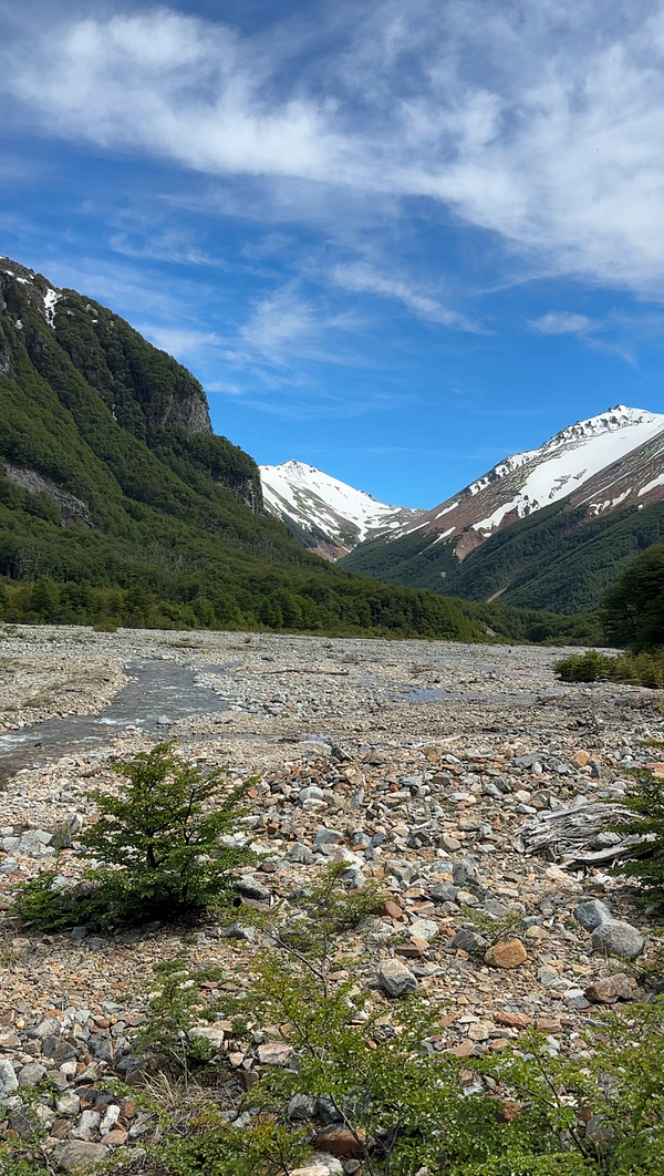
After about 3 hours and 9 miles in, I got a break from the forest cover and my first view at the peaks around me and views up the Rio Turbo which i realized i had been following for quite a bit now. Up to this point, the river crossings weren’t as numerous as my hike in Jeinimeni but they were astoundingly cold, making my feet throb within seconds. After another 15 minutes through this glaciated valley i returned to the tree cover and came upon the Rio Turbo Campground, which the map has as 15.4kms/9.5miles. Given that it was 11am and i was hungry, I planned to take lunch here but got distracted because i finally met some other hikers who I chatted with for 25 minutes or so. Noa and Aviv were two Israeli backpackers who were hitchiking and traveling their way through South American and Patagonia. They had started the day before and were leaving the campground headed 5.5ish miles to El Bosque on the other side of the pass which is where I was planning to spend my first night. We chopped it up and hung out for a bit before they took off and I made some lunch and rested my feet.
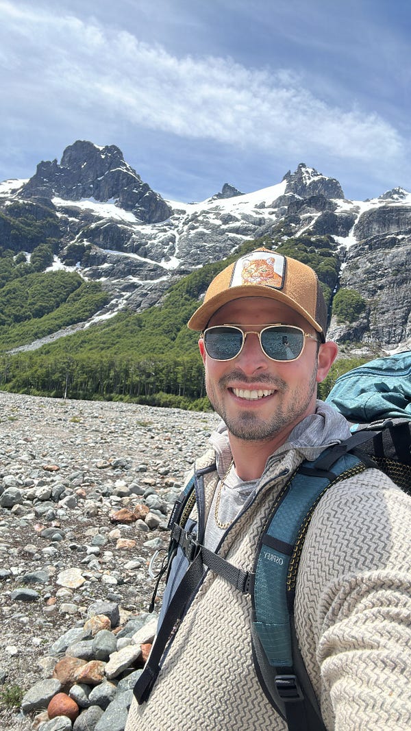
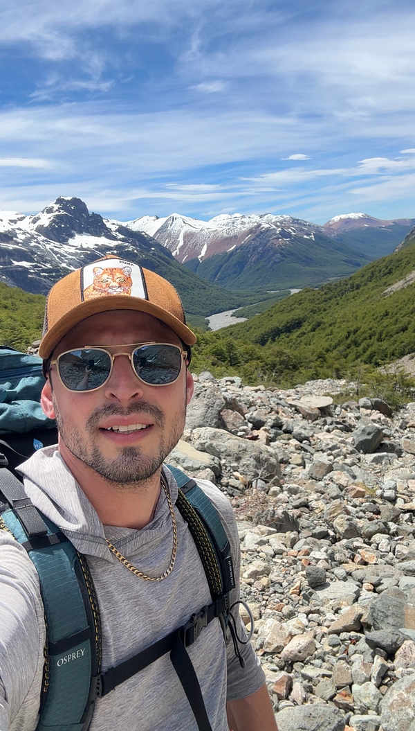
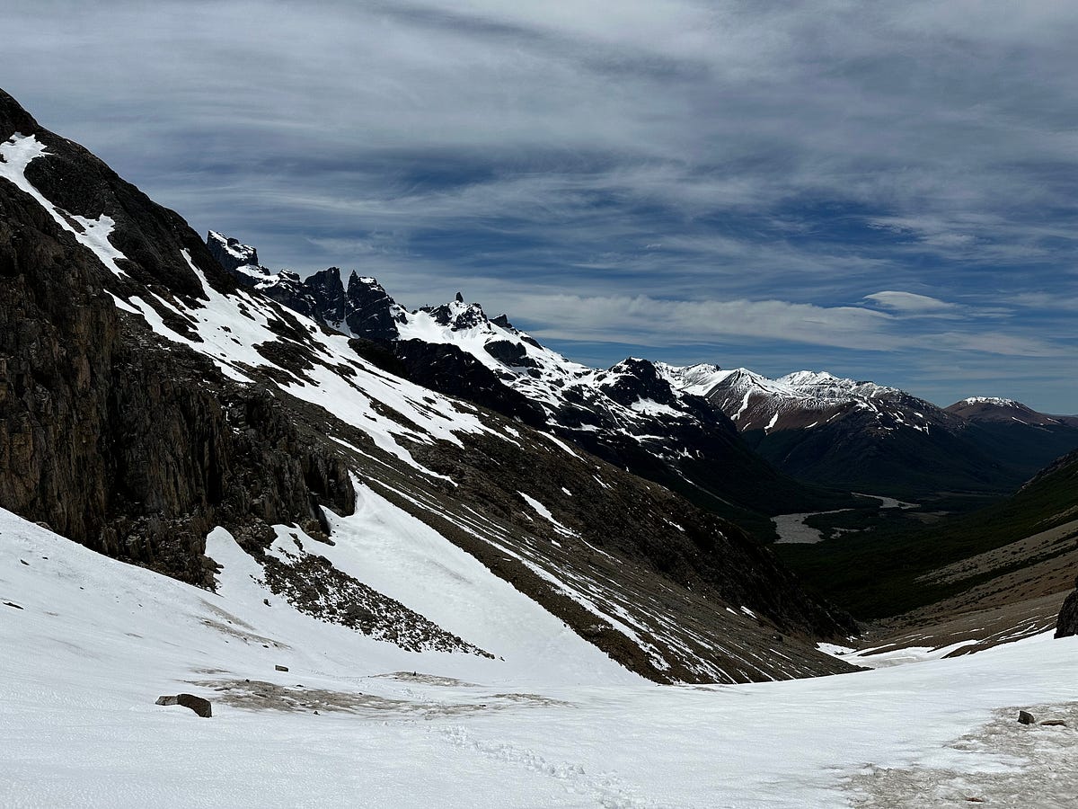
The second half of this day was much more difficult than the first half but it started well right after lunch by getting out of the trees where I could have views of the surrounding walls. There was a side-trip to the Laguna El Turbio which i passed on and slightly regret but in the moment i was anxious to see what the snow cover on Penon Pass was like and if I was going to have any trouble. Just like a lot of the other ascending I had done in Patagonia thus far, the climb toward Penon Pass was steep with a lot of tree cover until you get to the final ~1000 feet or so. I had already passed Noa and Aviv at this point and I noticed that there were still tracks ahead of me which made me feel a little bit better knowing that I wasnt the first person to go over since the snow from two days prior. The trail deteriorates into rocks before it turned into snow where I threw my spikes on and started switchbacking. The views down into the valley of the Rio Rurbo were fantastic and i took my time given that the weather was holding up. What felt like it would be an easy climb of a few hundred feet felt like it went over forever and after almost an hour of slogging through the snow, i reached the top of the pass. Unfortunately, my feet were so cold that I kept pushing past the pass without taking a break as I was trying to get to a spot without snow as fast as I could. Even with the incredible views (in both directions), it was certainly one of those moments that I was not having fun. There’s a lesson here in that even when things suck, the reality is that the “suck” eventually ends and then you forget about it 15 minutes later.
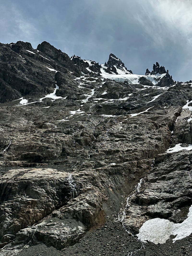
The fun resumed shortly after as I started my descent towards the campsite at El Bosque. The views in this section were sensational, specifically this gargantuous wall that you come upon as you work your way down the steep decline shortly after the pass. You are immediately faced with one of the largest walls I had seen thus far in Patagonia which I believed to be the southeastern face of Cerro Penon (at the time i wrongly believed it was one of the faces of Cerro Castillo). It was astounding: tons of glaciers all over the wall with waterfalls and crags everywhere. It was really hard to get good videos and photos bc of the sheer size but i tried my best and just let me eyes feast. I would have stayed for an hour but the wind was howling and I was craving getting into my sleeping bag.
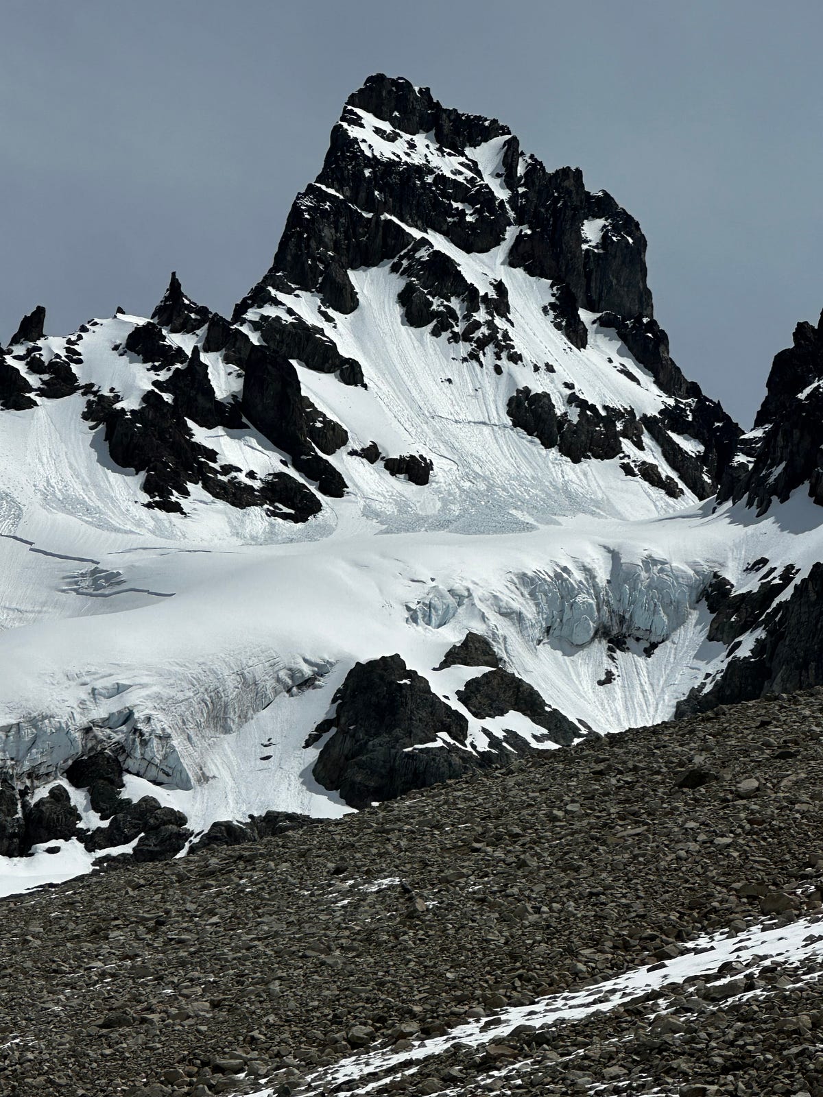
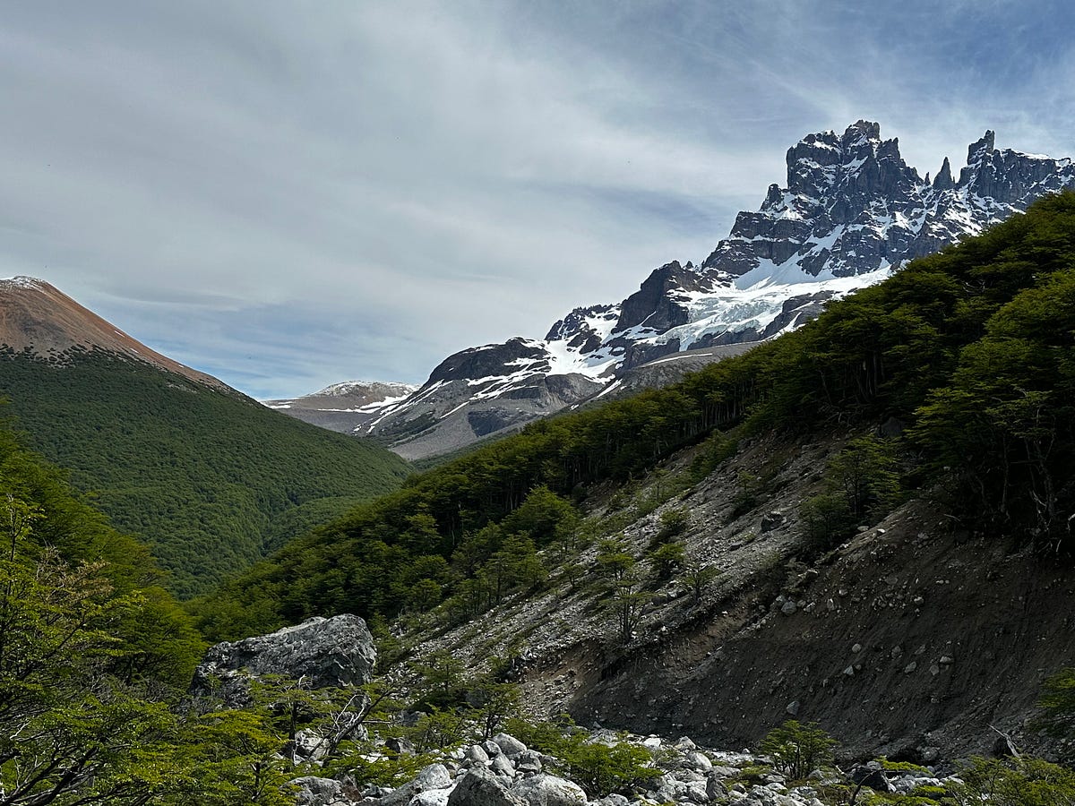
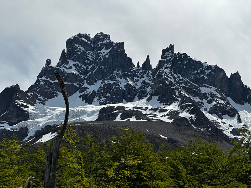
Eventually I actually got my first view of Cerro Castillo which was awesome because it came with a view of an enormous glacier coming down from the ridge that connected to Cerro Penon. After one last intense climb up into El Bosque which was kind of like a final kick in the nuts after a 15 mile day, I finally made it to camp and met the people whose tracks I had seen earlier on the pass. They were a Chilean & French couple taking some time to come and do the trek. We spent time talking about Patagonia and eating dinner and i crawled into my sleeping bag probably around 7:30 as I was beat from the day and it was starting to get cold. Just as I was getting ready to shut my eyes at about 9pm, Noa and Aviv walked into camp ending all of our curiosity about when they would make it given their slower pace.
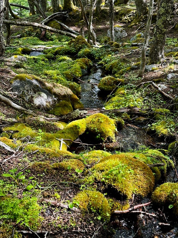
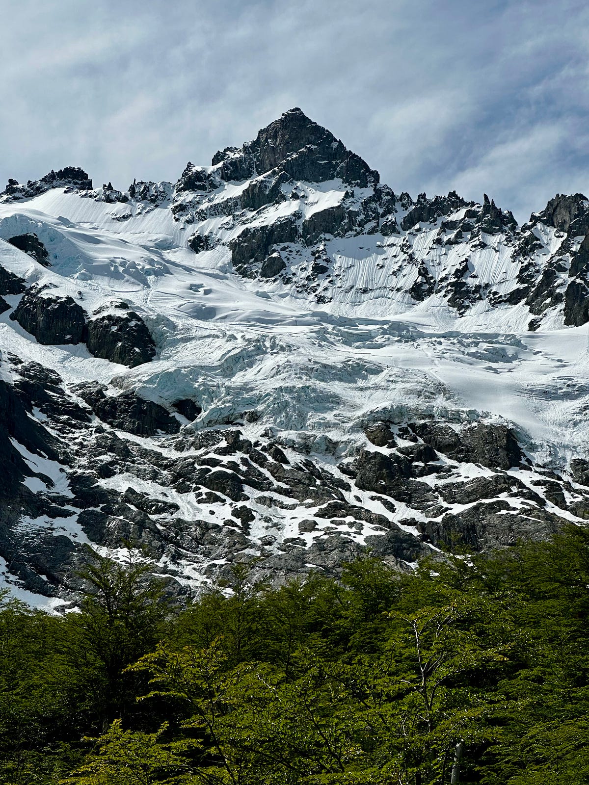
Day 9: Cerro Castillo Trek — Day 2
I slept in a bit, (as best as you can sleeping on the floor while it’s in the low 40s outside), ate breakfast, and broke down camp slower than usual. I was in no rush to start as i wanted to spend some time seeing what others were going to do with their day as it would likely help me plan mine. I wasn’t sure if I wanted to continue after Laguna Castillo to the Laguna Duff area as it was unclear how the trail was with snow. I figured I would ask people as I went and this ended up being a decent strategy. What I also didn’t know was that today was going to be one of the best days of hiking in my life with views I’ll never forget. It started immediately as I climbed a bit out of the forest that El Bosque is situated in and got crazy views of the Cerro Penon and the ridge beside it. I totally forgot about taking the side trip to small laguna you can get to from El Bosque, but I wasn’t upset about that since the hike was already showing incredible promise. I approached the small campsite labeled La Tetera on the map and realized that this is where I should have camped last night as it is surrounded by vistas and peaks in all directions. Camped there was an Austrian couple who was coming the other direction who filled me in on an interesting bit of information. Allegedly, the rangers weren’t letting anyone start from the Harquetas trailhead (where i came from) due to the snow on Penon Pass. I told them I and a few others had made it over the pass and they were happy yet puzzled given how dangerous the rangers made it seem. Lucky for me I didnt speak with any rangers and i told them that it was annoying but not dangerous and i believe they took that information and continued on.
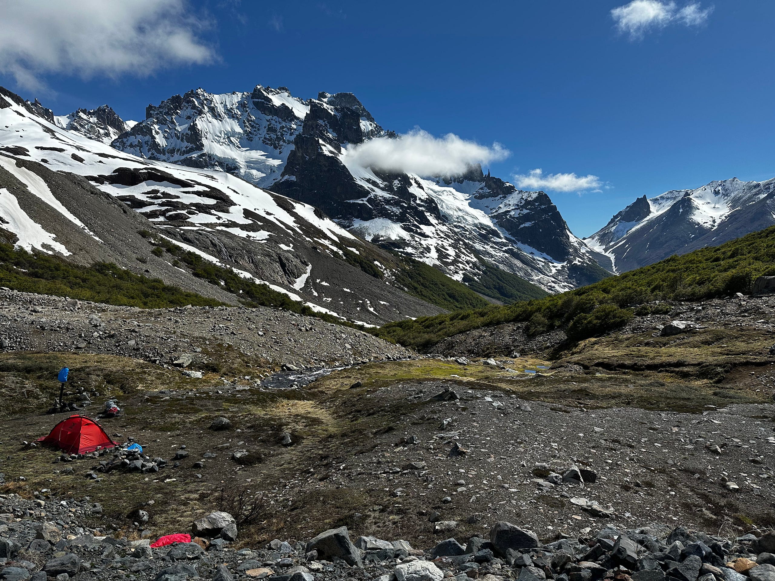
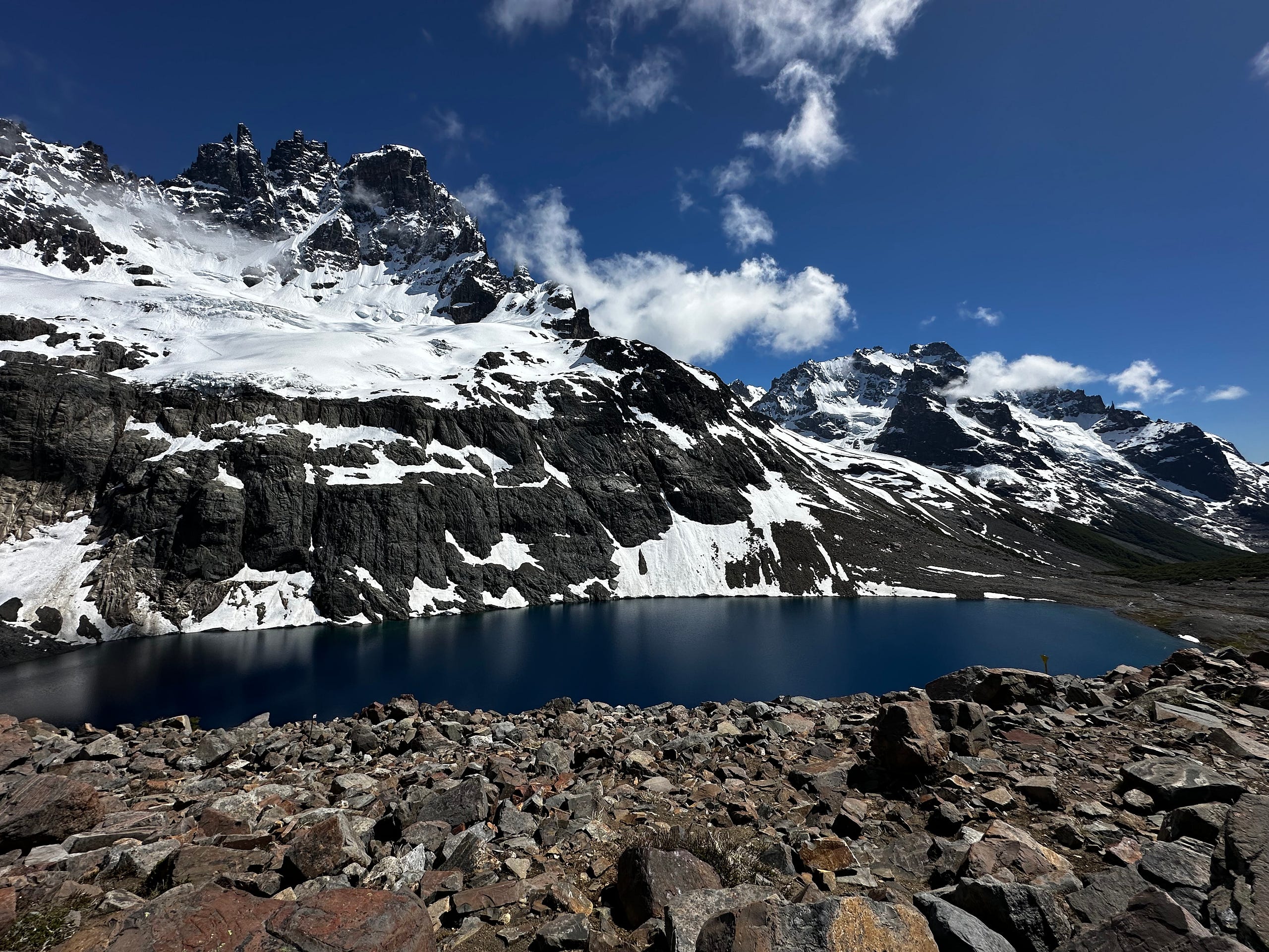
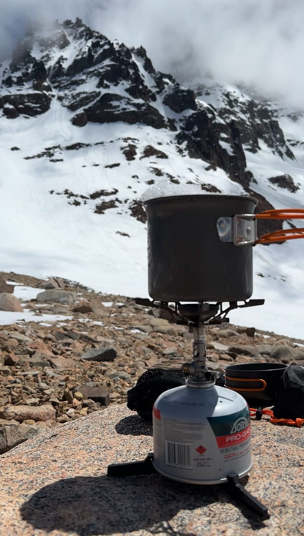
From this point on the views became ridiculous and I had perfect weather to match. As one approaches Laguna Castillo you get an incredible view of it’s face and peak and the lake all at once. As i climbed to the pass that would take me to the Laguna Duff area, the views got better and better as I got a wider view of the basin. Although there were much more people in this part of the hike than the previous, it was nice to be social for a bit. I pushed on to pass and stopped to make lunch once I got to the top because I wanted an excuse to hang out and enjoy the view. I was out of water so i ended up melting snow to make the noodles which is always fun.
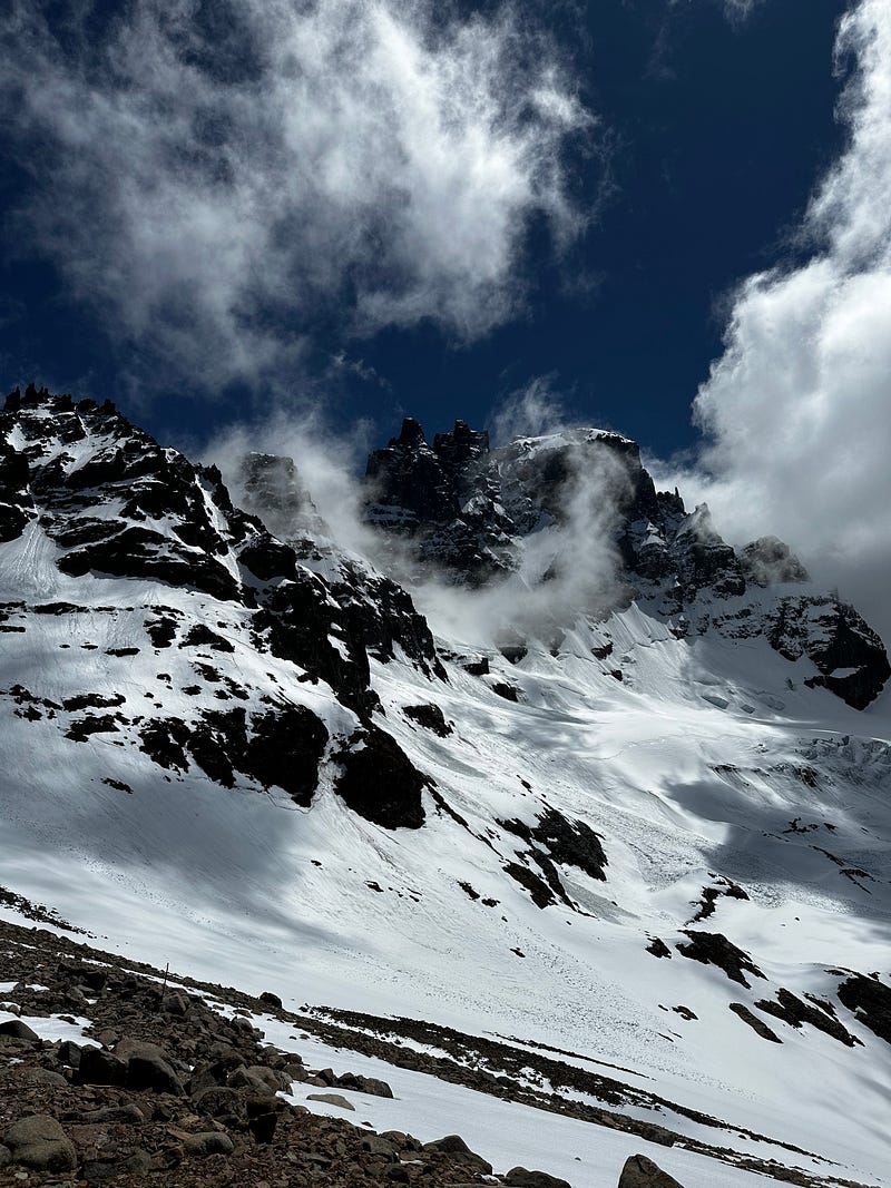
I pushed on to the other side of this pass, which was snowy but not as bad as Penon the day prior, and was greeted to another set of incredible vistas, this time getting an almost 270 degree view of Central Chilean Patagonia. It was unbelievable: I could see southeast along the Rio Ibanez drainage into Lago General Carrerra and beyond into Argentina, South into the peaks that border Patagonia National Park, and southwest into the Northern Patagonian Ice Field where San Rafael National Park is.
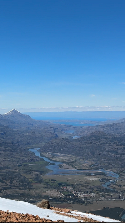
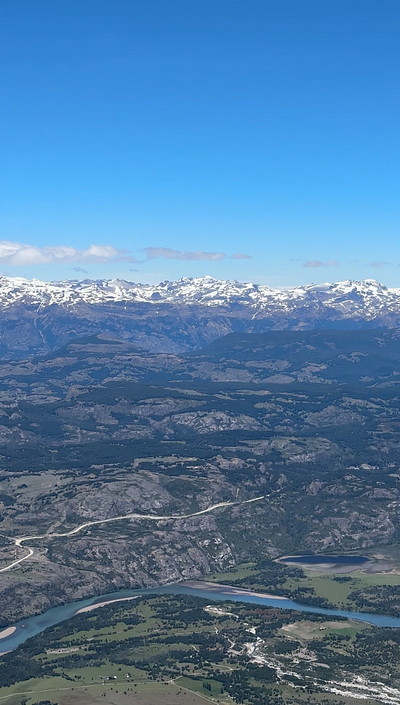
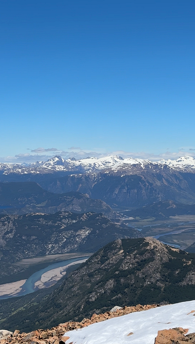
I took the view in for a while as well. Between the vistas and chit-chatting with people, I was making pretty slow pace by this time which I wasn’t upset about given that I had the rest of the day to make it to Laguna Duff. It took me a few hours to decend all the way to the turnoff to go back north to Laguna Duff but I eventually made it by 5pm after having dropped my bag at the Camp Neozelandes. Laguna Duff is an incredible part of the park and I’m glad I pushed on to go see it. It’s a glacial carved circque and whats great about this part is that you really get a good view of why it is called Cerro Castillo because from the west it looks like an actual castle with turrets and walls.
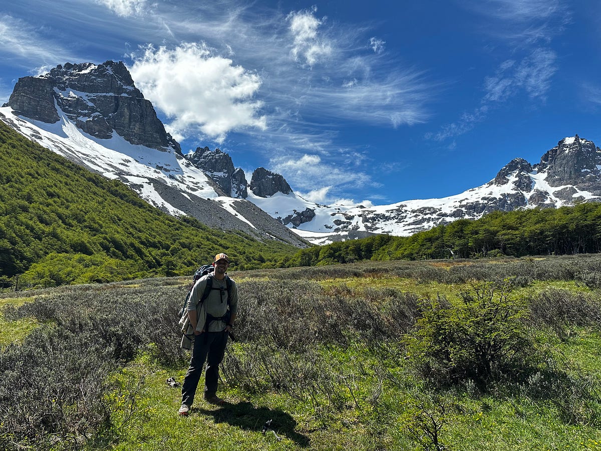
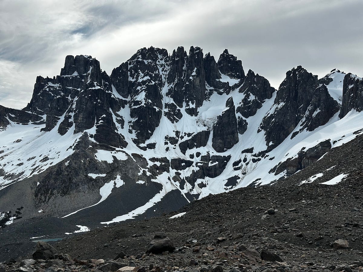
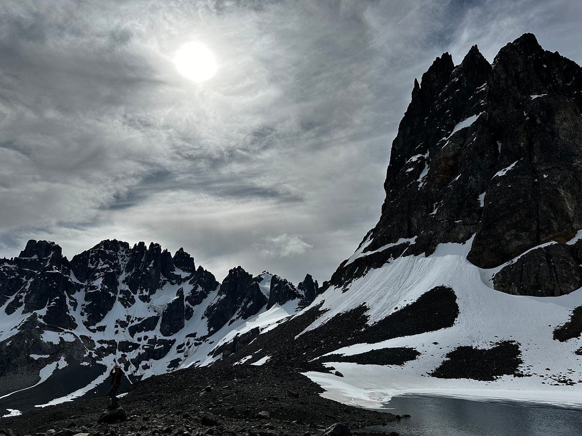
I finished the day by eating dinner along the creek and reading a bit before retiring into the slightly gross and wet woods to sleep.
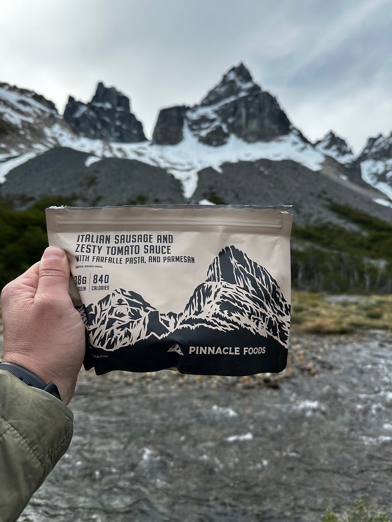
Day 10: Cerro Castillo Trek Day 3 and Coyhaique
I wanted to like Neozelandes but realistically it was a shit campground and it didn’t help that it was by far the coldest morning I had had thus far, partly due to the elevation. The laundry that I had hung to dry had simply frozen for the most part which was a funny problem to have. It was one of those mornings where i shoved everything in the pack and told myself I would deal with it later when i wasn’t so cold and dirty. The hike down to town was uneventful and before I knew it I was down at the trailhead and caught a hitch from the trailhead to a lunch spot where i chowed down on 2 sandwiches before going back to my car and cleaning up a bit. On my way out I saw Noa and Aviv trying to get a hitch south but before long I was back on the road and headed to one of my nicer Airbnbs on the outskirts of Coyhaique which I made it to shortly before 4pm. This Airbnb was great, and I wish I could have booked it for longer. Coyhaique is an actual city and I took some time to walk around, buy some gifts, and get a nice dinner with some fresh vegetables which, again, i felt like i hadnt had in ages.
I also dropped in to see a travel agent to see about my options over the next few days. I really wanted to do a boat tour from the nearby Puerto Chacabucco to see the San Rafael Glacier, which is one of the largest in all of Patagonia and is the namesake of the national park. Unfortunately the ships only sail a few days per week and I couldnt burn that much time in this part of Patagonia.
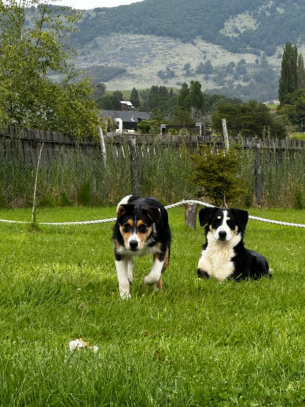
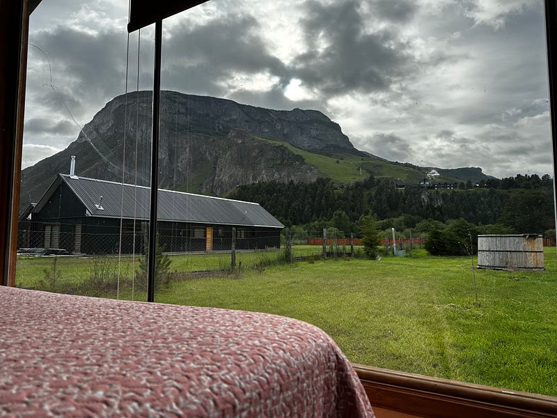
I ended up going home and doing some reading and investigating my options before calling it a night and going to sleep.
Day 11: Coyhaique to Queulat to Puyuhuapi
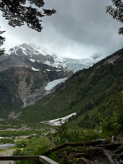
I decided that I would move further north to the town of Puyuhuapi which is on the end of a fjord and would also allow me to see the hanging glacier at Queulat National Park. It also was a place where I could stop and make the call as to whether or not I would want to make the trek to Raul Marine Balmaceda. Raul Marine Balmaceda is a protected marine reserve right at the end of the Aysen region in Patagonia. It’s another area that was donated by the Tompkin family and i heard/read fantastic things about it’s wildlife, solitude, and beauty. The problem is that it’s really far and i didnt have much time.
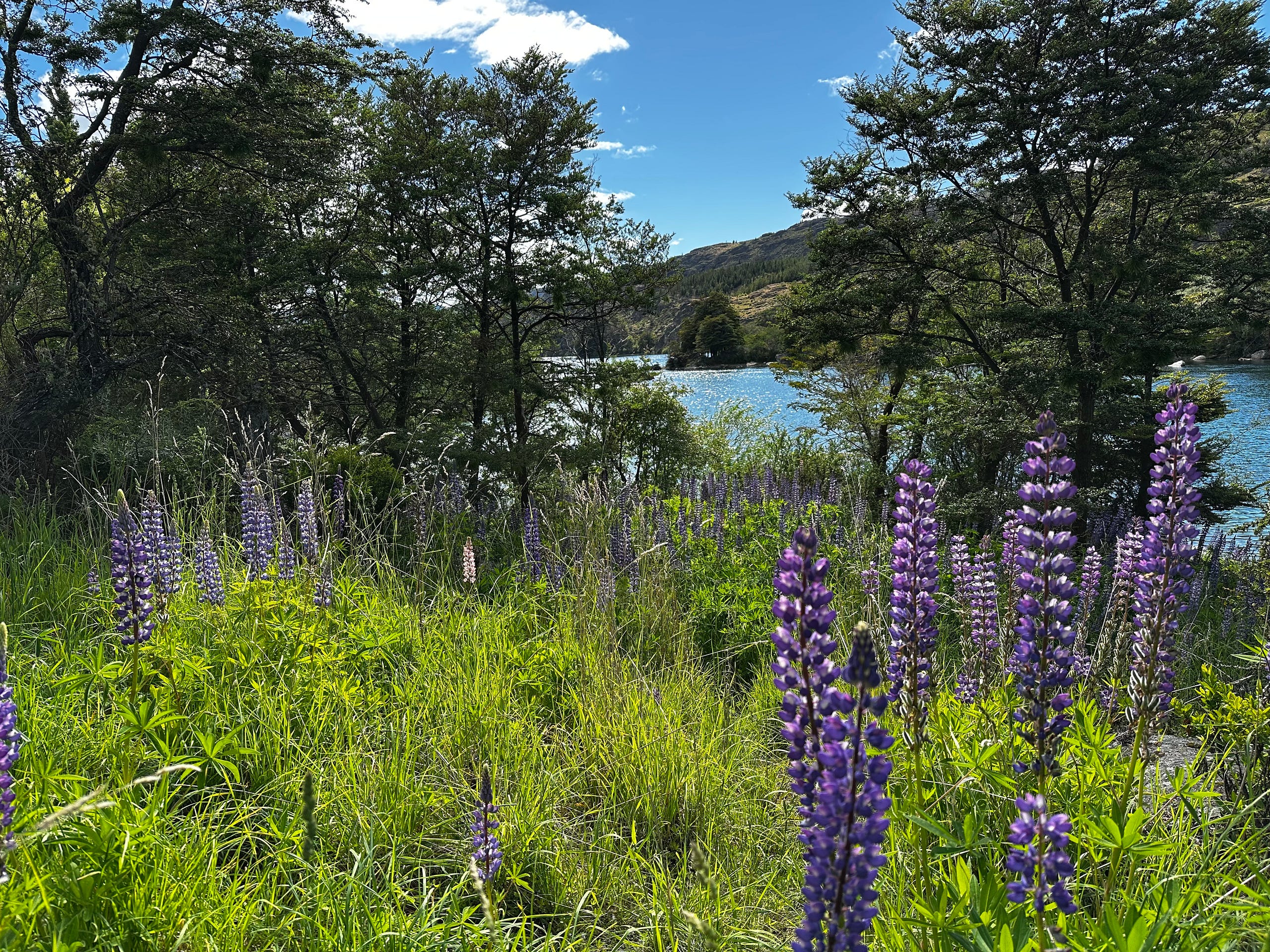
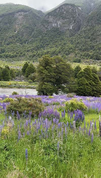
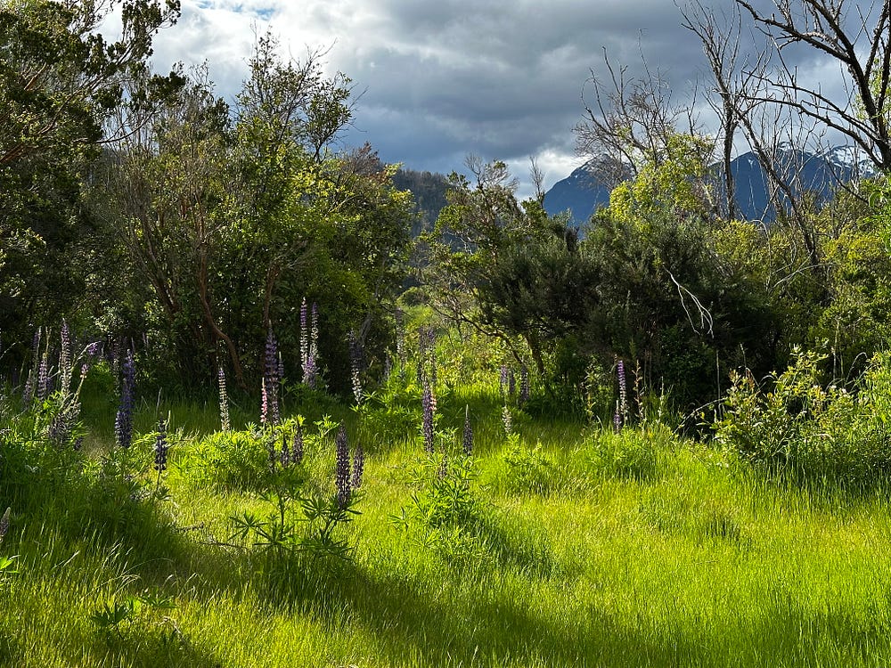
The drive north from Coyahaique to Queulat was another 10/10 roadtrip with the road curving through beautiful and deep valleys lined with fields of lupine.
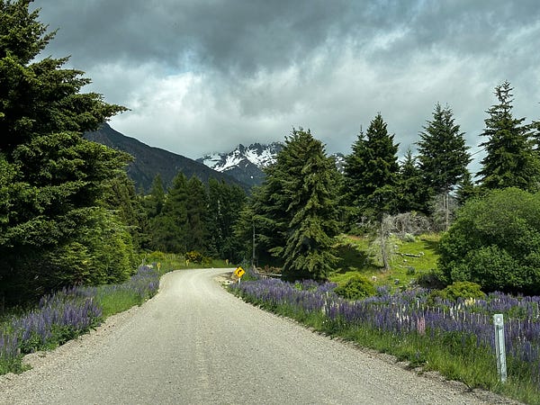
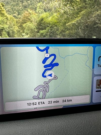
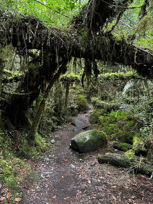
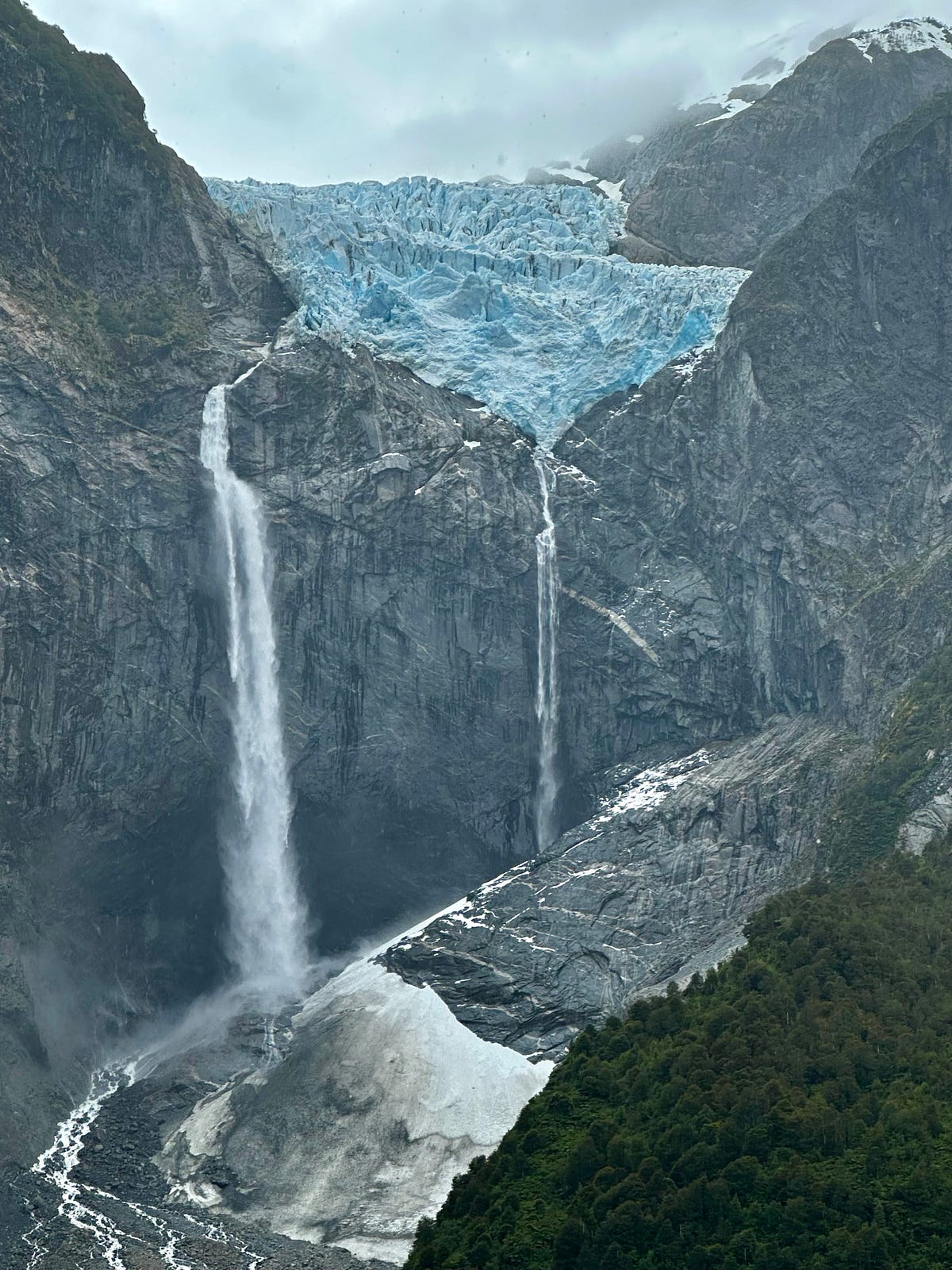
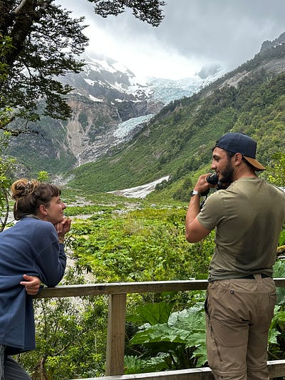
Queulat National Park protects a virgin evergreen forest and a couple of glaciers, most famous of which is a hanging glacier. It’s really popular with travelers and families due to it being right on the Carreterra and the accessibility of the hike. I arrived at the park, bought an entry fee, and then started the hike right before the cutoff which i think is 2pm. It’s a lovely hike up and through what felt like a rainforest. It’s a decent climb but its short and i turned it into a trail run because — thankfully — the trail was empty due to the timing.
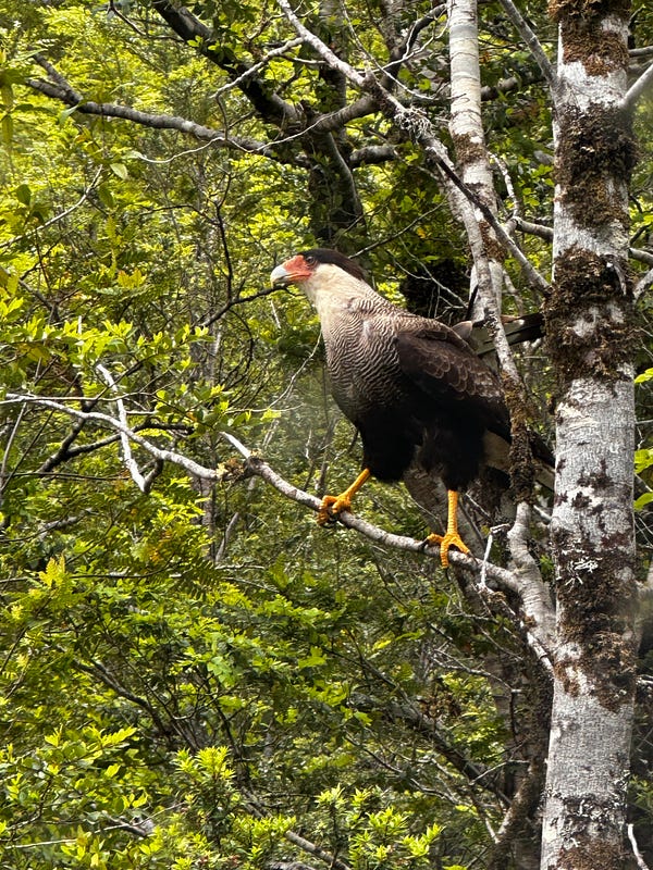
The hanging glacier is really cool and totally worth dealing with the people. Just like all of the famous glaciers in Patagonia, they post an extremely sad poster for everyone to see and contextualize the glacier’s retreat. I enjoyed the view, chatted with some travelers, and then headed back down.
The cafe at the bottom had a Starlink set up and i ended up sitting down here, eating, and working. I didnt realize how much work I had pushed off so it was good to be able to sit down for ~4 hours and take a few meetings and handle some things. It was a funny moment when, at 8pm, it was clear that the folks running the cafe were done with waiting for me to leave and so they brought out the speaker and had a small party and some beers even with me sitting there. I got the message and put my laptop away and joined this family for a beer where we traded some words via a combination of spanglish, photos, and emogis…another great travel moment.
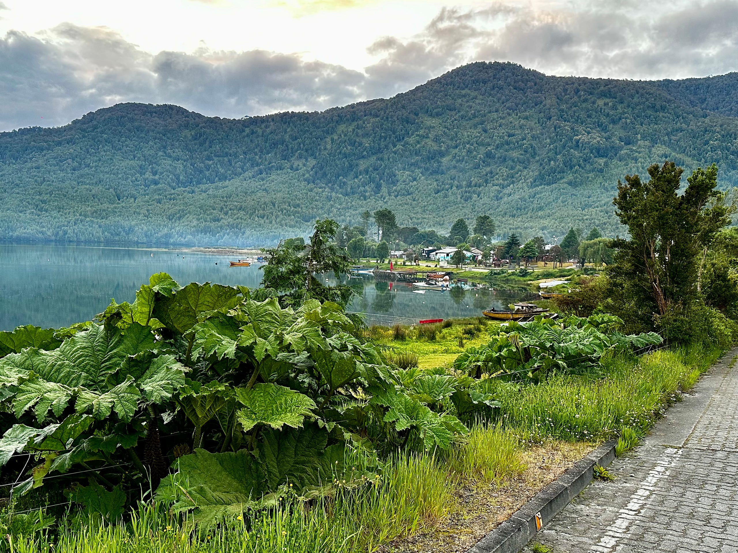
From there I drove 25 minutes north to my Airbnb in the beautiful little town of Puyuhuapi which is planted right at the edge of a fjord perched in a tiny, low-slung valley. I met with my Airbnb hosts who were another incredibly friendly and hospitable couple. After getting settled, i made the decision that I was not going to drive 2 hours each way to Raul Marine Balmaceda because of the distance and decided I would wing it tomorrow and search for a way to explore the fjord.
Day 12: Puyuhuapi & La Junta
I woke up and went for a walk around town and found a guy setting up some kayaks. It was perfect since I had been meaning to explore a fjord by kayak and he said to come back in a bit and he could add me to the group tour. I had a great breakfast on the water and then returned where we started the tour. It ended up being a 5 hour, ~9.5 mile kayaking tour where we went up the shoreline to get better views of the mountains that form Queulat National Park. Seeing them from the water was a trip as it makes for a beautiful foreground.
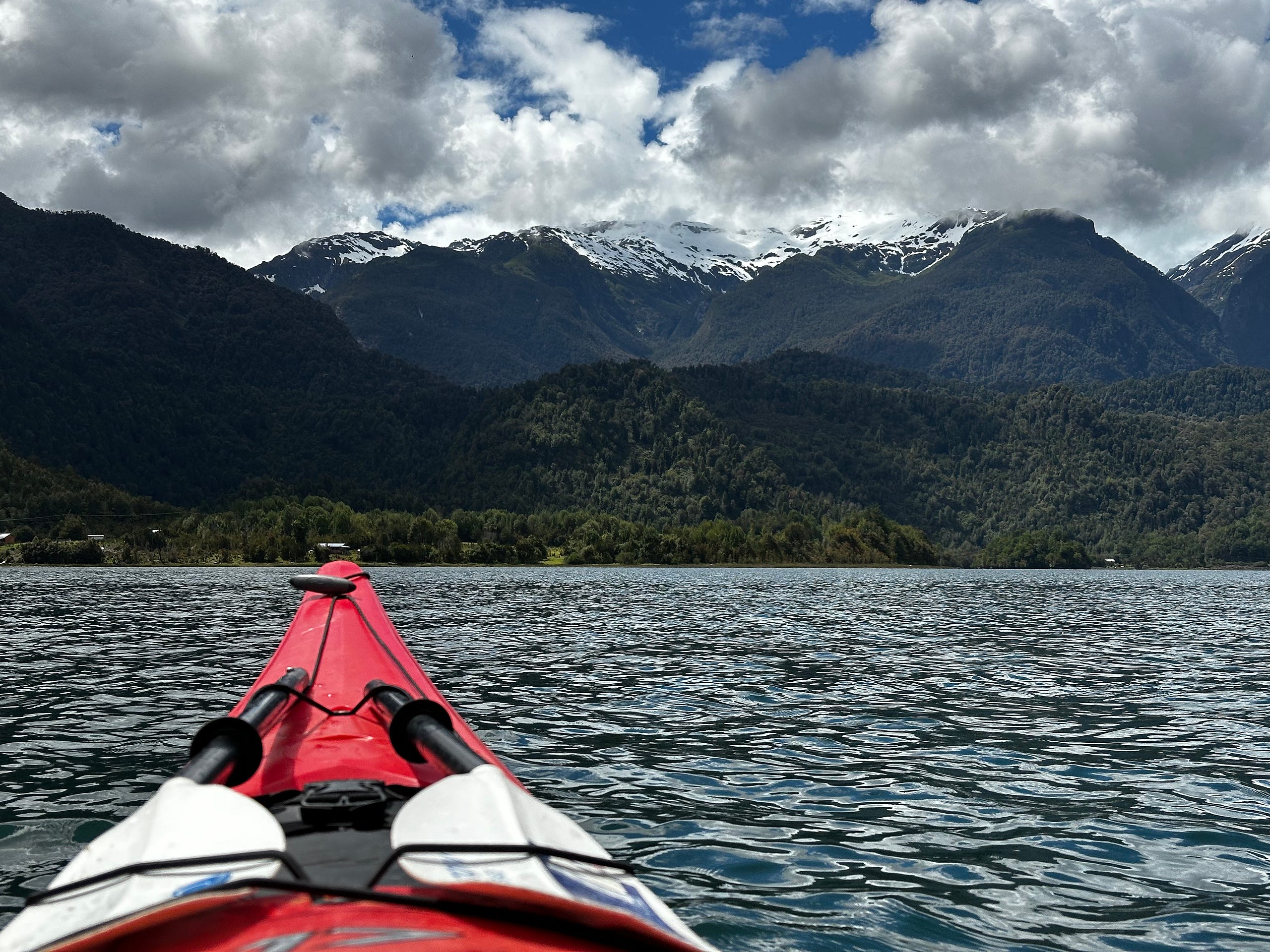
Fjords are generally interesting to me because they feel like a lake, look like a river, but they are actually the ocean. There were dolphins in the fjord so there were moments with water and dolphins in the foreground and huge mountains behind it which was jarring to me. We then took time to picnic on a little beach and then hang out in a hot spring that heats up as the tide pulls back.
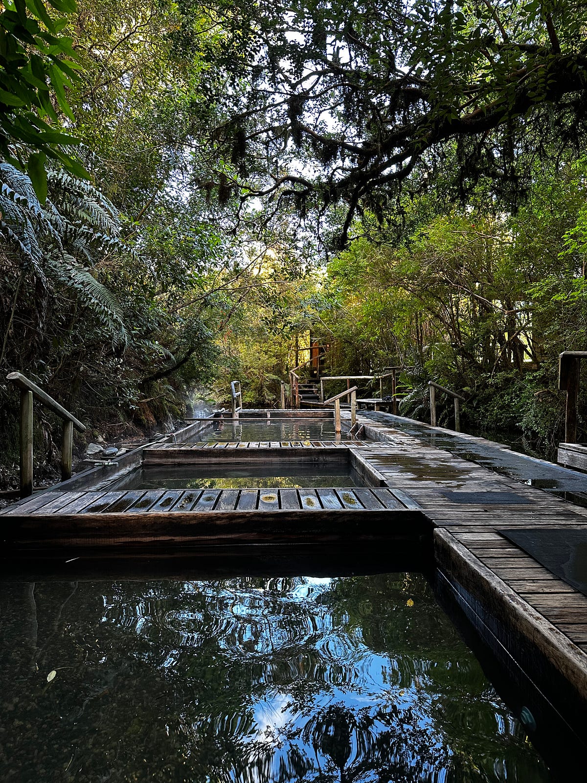
The area surrounding Puyuhuapi (and for miles north) is populated with tons of volcanoes and hot springs and there are a few to choose from in the immediate area. There is one that is ran by a luxury resort, there’s one that is easier to get into but has a lot of families, and then there is another one that was recommended by my tour guide named “Thermas Sauce” which was closer to the town of La Junta. Although its a bit more difficult to get to because it is decently far off the Carreterra, it ended up being such a special place and one of my top memories. To get there you drive along a beautiful river and past fields of grass and wildflowers before getting to the hot springs which is on a quaint and delightful piece of private land. I soaked until they closed, ate a dinner of locally sourced steak that was way under-seasoned (like most of the food I had in Chile), and checked into my Airbnb to relax and go to sleep.
Day 13: Drive to Futaleufu
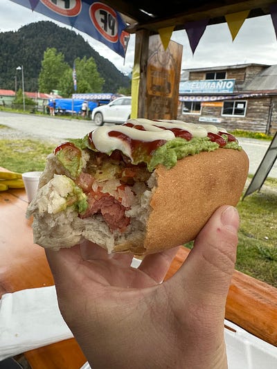
I got a recommendation to hike to another hanging glacier called Yelcho from one of the guys working at the hot spring and also about a nice drive that loops through some rural land so i figured to hit both of these on my way to Futaleufu. While eating a completo (still the most ridiculous meal) at this roadside stop i met Ricardo who was a hithhiker from Santiago making his way down the Careterra. He mentioned that he was going to Futa and I told him after hiking to Yelcho i could take him. Turns out that Ricardo was pretty cool and it was great to have some company. He had some stories about his travels that were great and i gave him some tips about the south that i figured he would like.
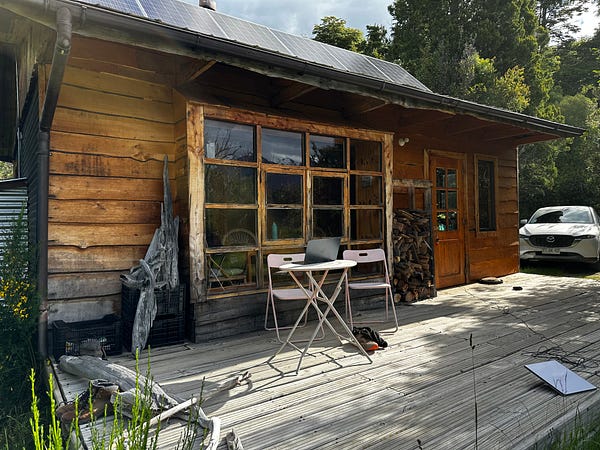
We made the drive up into the mountains to Futaleufu and made it to the Airbnb, which was an absolutely incredible property perched on the side of a creek. This would be my favorite airbnb and the host upgraded me to the larger cabin so i let Ricardo crash with me in exchange for cooking some food so he didnt have to sleep in his tent and could have a proper shower. He and i enjoyed our Airbnb, headed into town to buy some groceries, cooked dinner over an open fire, and enjoyed the tranquility of the Airbnb. It was definitely going to be a great couple of days as I was already starting to enjoy the vibes here in Futa.
Day 14: Futaleufu
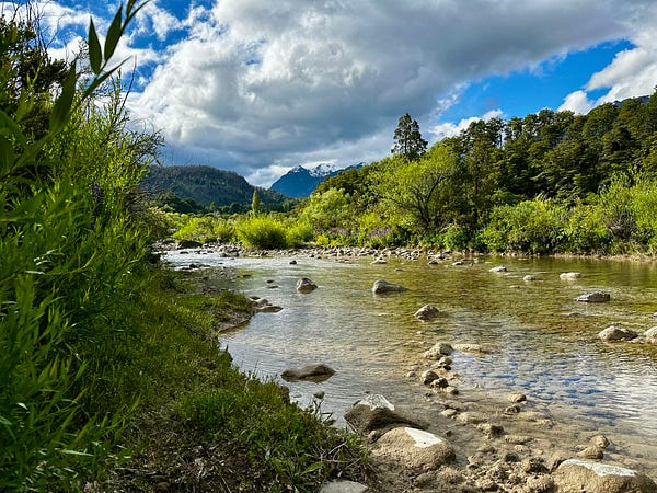
After waking up and going into town to get some breakfast, it became obvious that Futaleufu was a really cool place. The town is settled deep up in the mountains a few miles from the border with Argentina. The town gained its popularity because not only is it beautiful, but because the Futaleufu river is one of the most, if not thee most, famous places you can whitewater river raft or kayak. The amount of water going through the river is insane and the river is full of Class 4,5, and 5+ rapids. There are professional kayakers that live in town during the season and with all the travelers coming through to see it, you’ve got a good amount of bars, restaurants, and travelers.
It’s also known for it’s fly fishing and i figured that this would be a great place to learn. I went through Bochinche which is the same company that I would raft with and they set me up with a guide who was obviously a great fly fisherman but didnt speak any English. This was obviously not great and both of us realized. He smartly went over to Ricardo and asked him if he would come along for an extra $50 bucks to be a translator and even though it was much cheaper than what i paid, i thought it was a great idea and his help would be necessary.
We drove to the upper river where it is much calmer and started to work on basics. It became very clear very fast why fly fishing is so difficult but I can also see why it’s so addicting. We worked on the basics for an hour or so and then go onto the boat where we started fishing and having fun.
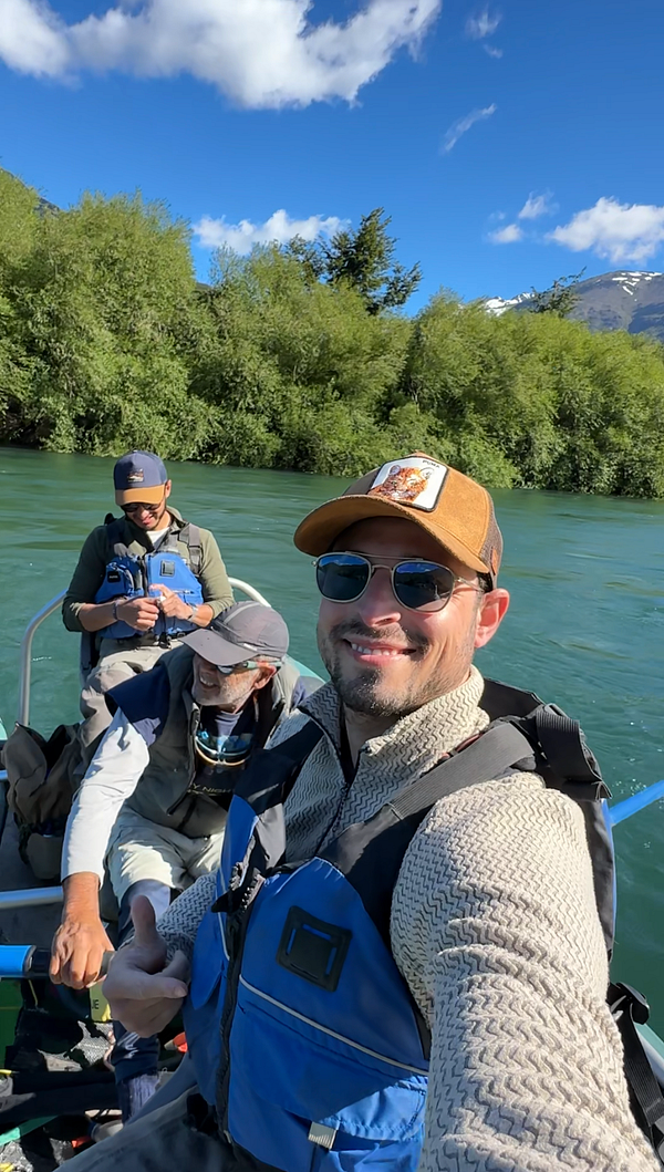
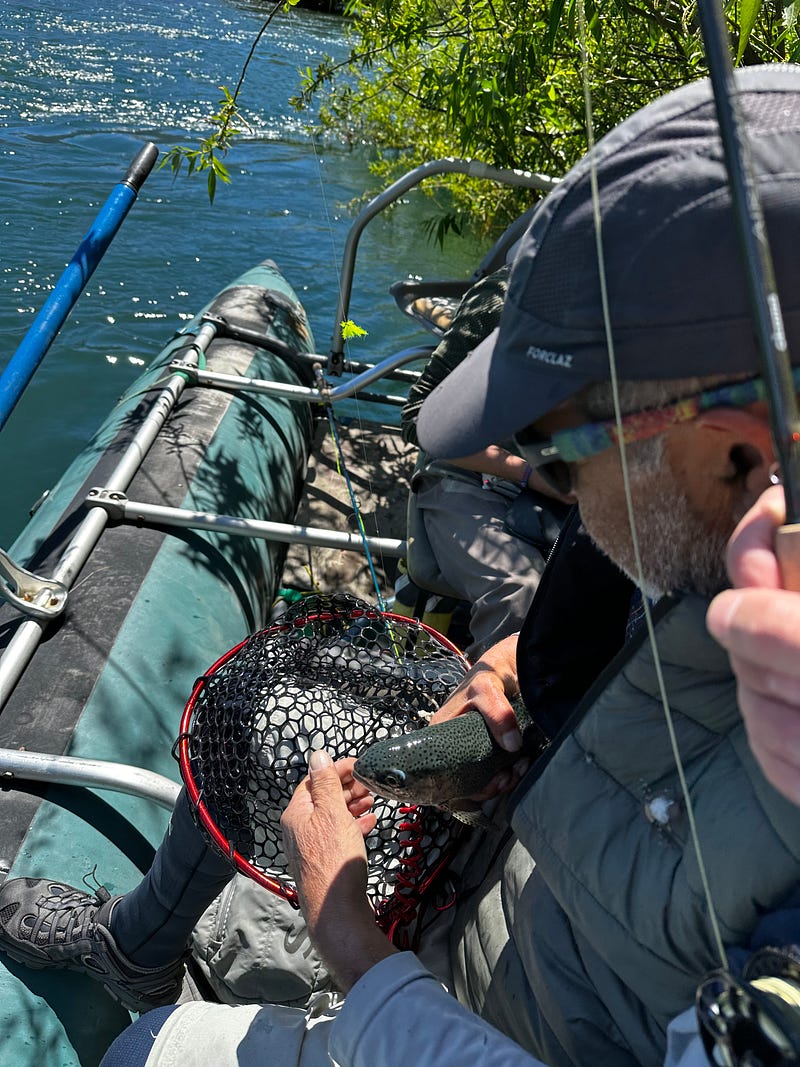
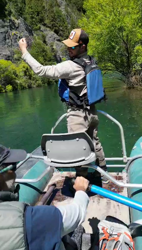
Our guide didnt really love how much fun we were having because to him fishing is a very sacred and serious activity, but we didn’t care much. He was an interesting guy who used to be a drug addict before he got addicted to fly fishing. He was really good too and knew exactly where all the fish were going to be. We caught one and then tossed it back in the water, and then headed back to the truck to get back into town.
After a quick lunch, I then went back to the same tour operator as I was going to go out onto the river and do a half day of rafting. There were no full day trips due to the levels of the river being too high. There were enough of us in the group to fill two rafts of six people and the group also goes with three safety boats (a front catamaran, a back catamaran, and a single kayak). I had never been rafting with so many safety boats but it made sense once we were out there. The river is absolutely stunning but even with high water levels it is absolutely roaring. So much so that it feels like an ocean running through a canyon. Even with the high levels, we hit a few Class 4 and 5 rapids with some of them creating beautiful but enormous waves 8–9 foot waves. In addition to the safety crew and guide, the operator provided a photographer to take high-quality photos at different spots along the river which was also awesome because we were all phoneless while out there.
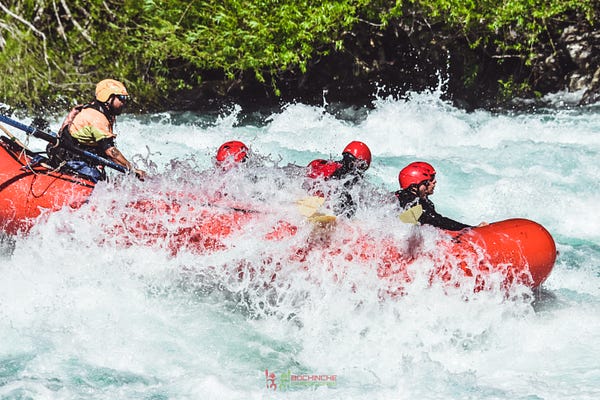
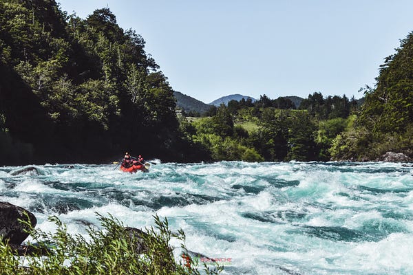
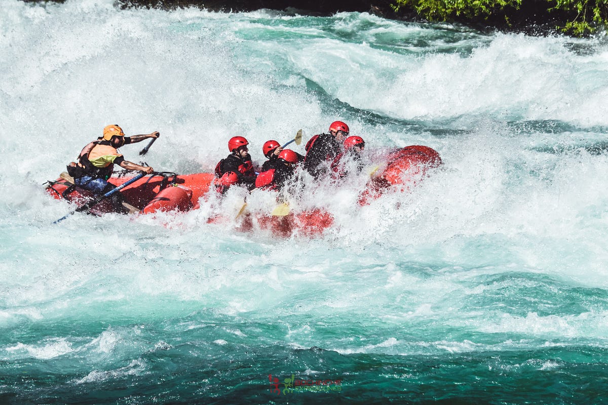
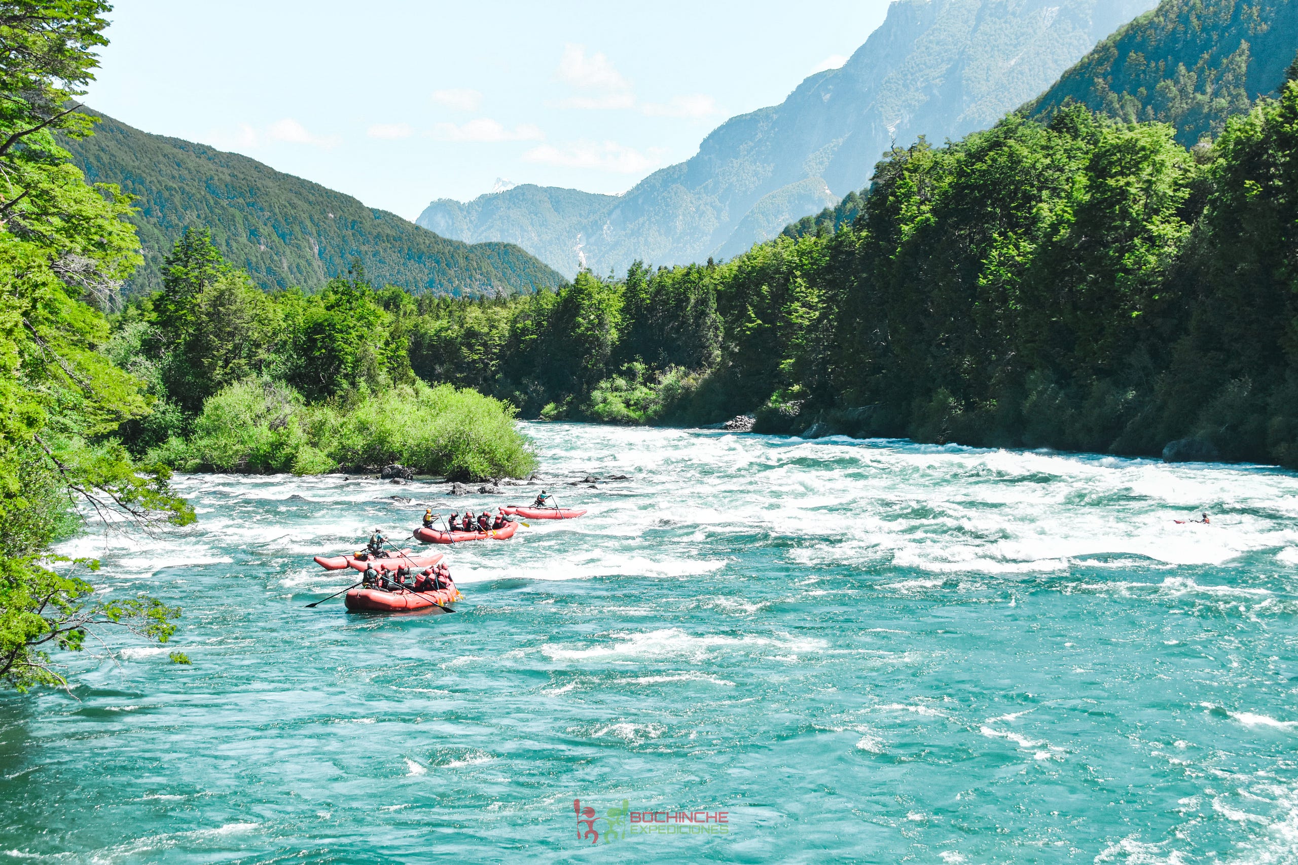
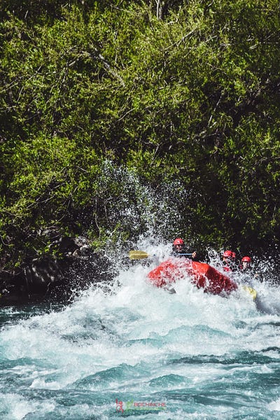
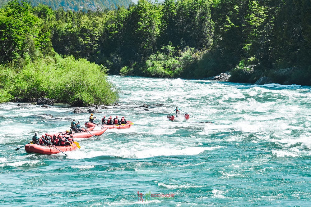
Overall it was a great experience and I’m happy with Bochinche as an operator. Our group was also cool and I made a couple of friends who i had dinner with and then met up with later at a bar in town. This was the first bar i had gone to of the entire trip and it was a good time to be out late and be social. It’s always special having those random social outings while traveling with people who are all on their own wavelengths and doing their own thing. A lot of the time you dont even exchange information and it’s a lovely, ephemeral interaction that you just leave then and there only to become a happy distant memory.
Day 15: Leaving Futaleufu and starting the trip to Cochamo
My next destination was Valle Cochamo which was an 8 hour drive from Futa which also included a 2 hour ferry ride (that somehow took 4 hours) and then a 9 mile mile hike from the trailhead into the valley. With all of that time, i made the unfortunate decision to leave Futa a half-day early to get myself to the trailhead on time for my reservation in Cochamo. I had dreamed about going to Cochamo for years and I wanted to spend as much time there as possible.
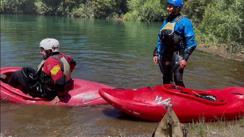
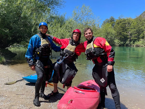
There was no intention to let a half-day go to waste, especially in Futa, and Ricardo and I signed up for a white-water kayak lesson in one of the calmer tributaries of the Futa river. I had always wanted to get into a white-water kayak and why not let this place be where I would try. We had met our guide at the lunch spot the previous day and the pricing didn’t seem too bad so we went out there. I quickly found out that keeping a white-water kayak steady is really hard! The balance and the hip movement and having to read the water mean you are 100% focused and immediately enter a flow state. It’s also just really fun when you get going. We didn’t do any real rapids but just getting the hang of it was a great time.
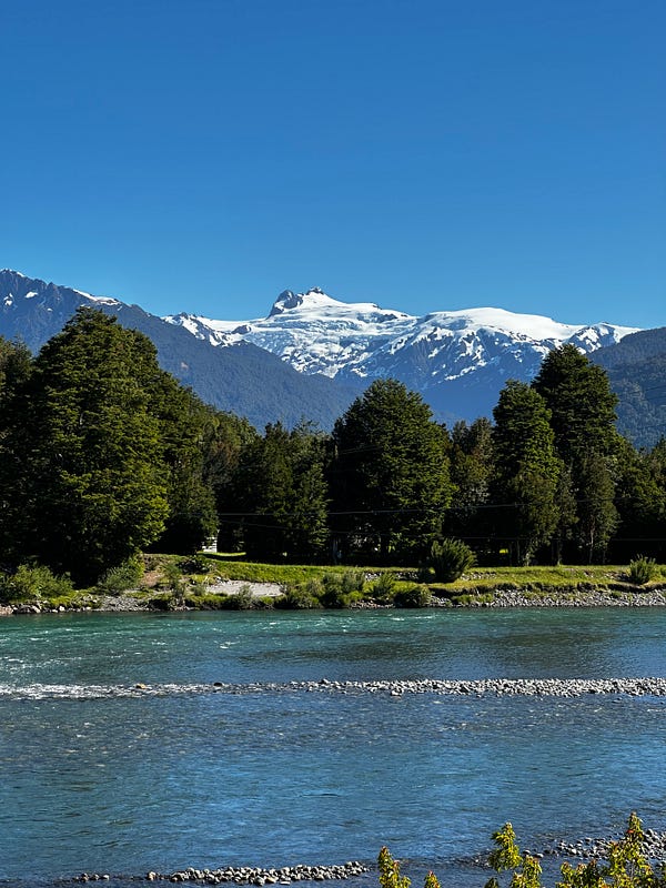
I ate a burger by the office and was back on the road by 3pm heading out of the Futa drainage and back onto the Careterra. Given the peaks and volcanoes in this region, there really were some incredible views. The day dragged on and a 6pm ferry turned into a 7:30pm ferry that I didn’t get off until almost midnight. Thankfully, I was able to setup my Starlink so i could communicate to the hotel that the ferry was delayed and that i would be a very-late checkin. This was a seriously long travel day with almost 11 hours of transit. Around midnight I arrived at the hotel exhausted and passed out immediately.
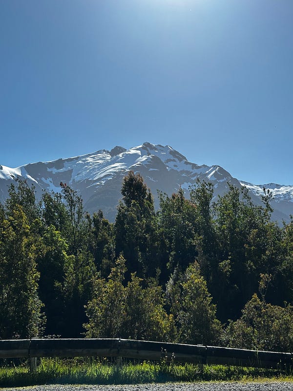
Day 16: Valle Cochamo Day 1
Even though I had been on this journey for 11 hours, I still had to drive another 4 or something to get to the Valle Cochamo Trailhead. They close the trailhead at 4pm (a bit early in my opinion) and I got there with about 30 minutes to spare. The trailhead has a few services: a parking lot, a small cafe/bar, and a horse stable for the packers. After a small hiccup having to set up the Starlink to find and download my PDF reservations (they will not let you pass unless you have the PDF printed or screenshotted), I started the hike through the muddy forest towards the valley.
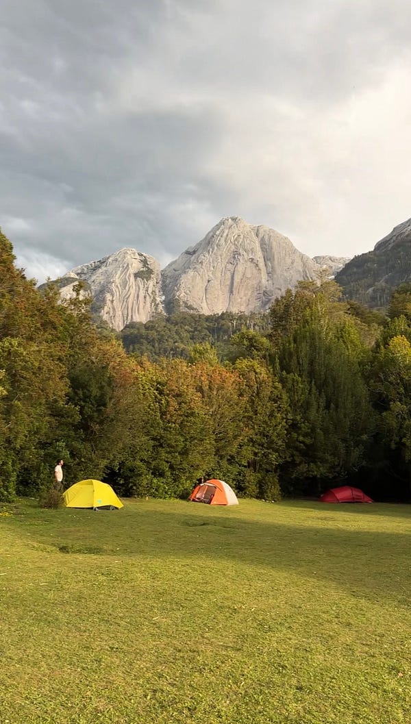
Valle Cochamo is one of the lesser-known wonders of the outdoor world and isn’t very popular with those outside of Chile, Argentina, and rock climbers…especially when compared to its North American cousin, Yosemite. The Chileans call Yosemite the North American Cochamo as it also is an enormous, glacially carved granite valley surrounded by huge walls and domes. Although Yosemite is one of the most incredible places you can go, Cochamo is a really, really a special place because of the way it is set up. It is still privately owned by a cooperative of family ranchers and the way they operate the place is similar to a national park, but with some unique differences. The first and best is that the only way to get to Cochamo is either by foot or horse. This made for such an incredible atmosphere in the valley itself because everyone is moving around at the same pace and the only people who are there are people who really want to be there. They have 3 large campgrounds and so everyone there is living in similar situations and makes very a very social atmosphere. The cool thing is that some people (like me) would be there for a couple days, but some people spend entire seasons out there climbing and going on expeditions all throughout the area. Another difference is that, because the whole valley is private, the campgrounds are private too and they all have different ownership, operators, rules, and services. I stayed in the larger campground called La Junta because thats what came up when i searched in Google, but Vista Hermosa is by far the prettiest with the best views as it’s still owned by one of the decendants of the original family. The services are rudimentary but rustic and are very sustainable: compost toilets, solar heated showers, and a few solar panels to power some charging and and a Starlink (usable for a fee). I had no idea a place like this still existed, and I felt that I was in Yosemite from 100 years ago. The 9 mile hike in is nothing special and but once you get into the valley, it is like an adult (and kid) summer camp with some incredible energy. Moreover, it is absolutely stunning in every direction. And not only stunning, but it’s quiet, relaxing, and also social (if you want to be). You make friends at one of the lunch tables while having a meal and then you see then on the trail or then back at camp and next thing you know you’ve got a little community. Everyone is there to hike, climb, and just enjoy the beautiful surroundings. It was immediately clear that this would be a place I would need to return to and hopefully does not change too much.
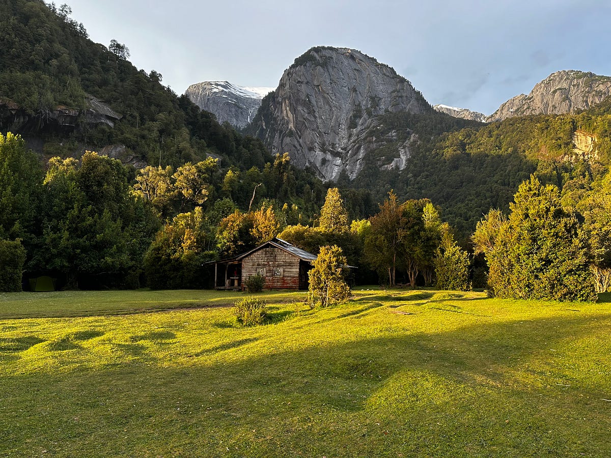
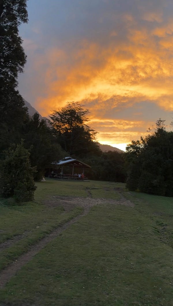
I made it into the valley by about 6pm, explored a little bit, setup my camp, and then settled into making dinner. After that, I plopped down on the beautiful lawn and enjoyed what ended up being an absolutely absurd light show as the lingering rain clouds turned the sky from yellow to orange to red. Sitting there in such a beautiful place was really just a special moment for me and one i hope to share closely with my friends or family in the future.
Day 17: Valle Cochamo Day 2
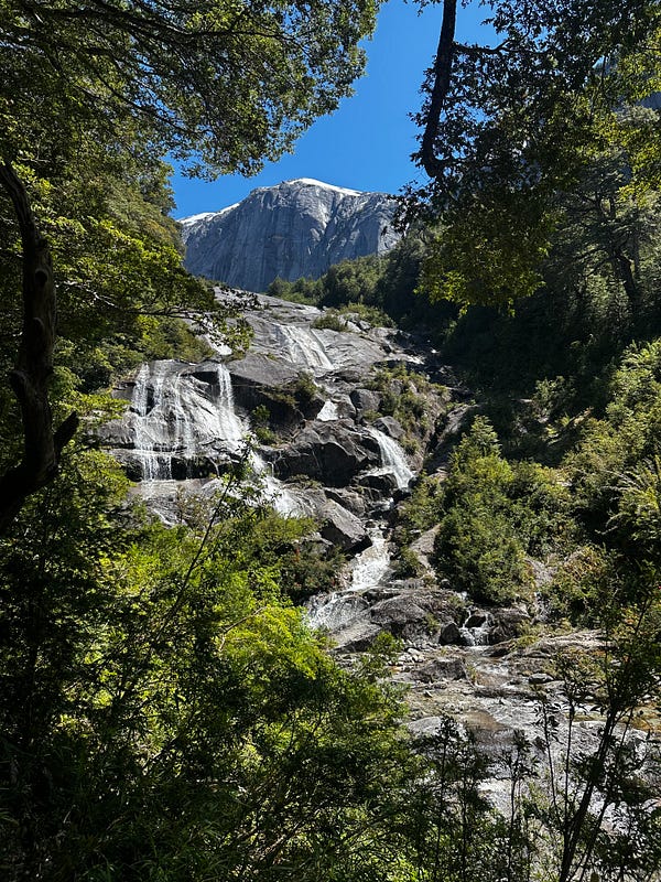
The most popular hike in the park (Arco Iris) had been closed for a while due to a rock slide and so the only way up was with technical climbing gear which I did not have. That left time for two full-day hikes and I was advised to do Glaciar Paloma on one of the days and Trinidad on the other. I decided that i would do a short half-day climbing lesson on my way out too. This first full day in the valley I would do Glaciar Paloma which is a short-ish but very steep climb up and into one of the many cirques in the area. It is a little under 2.5 miles each way, with 2000 feet of gain one-way, with most of the hike being very steep and shaded forest but towards the top it opens up and provides a fantastic view down into the valley and also the small glacier at the top. There were a decent amount of people at the top to chat with and help with photos.
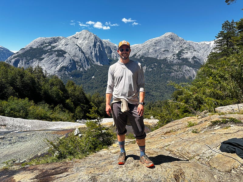
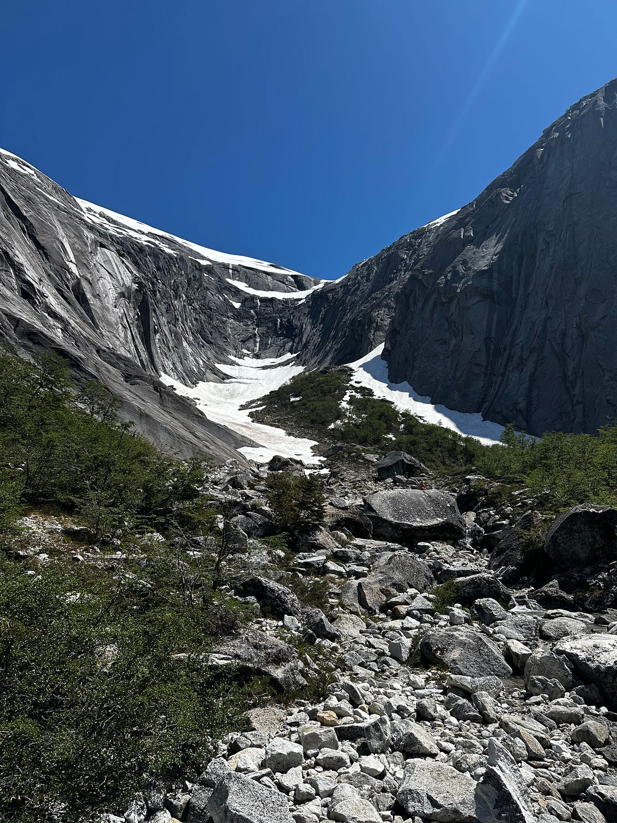
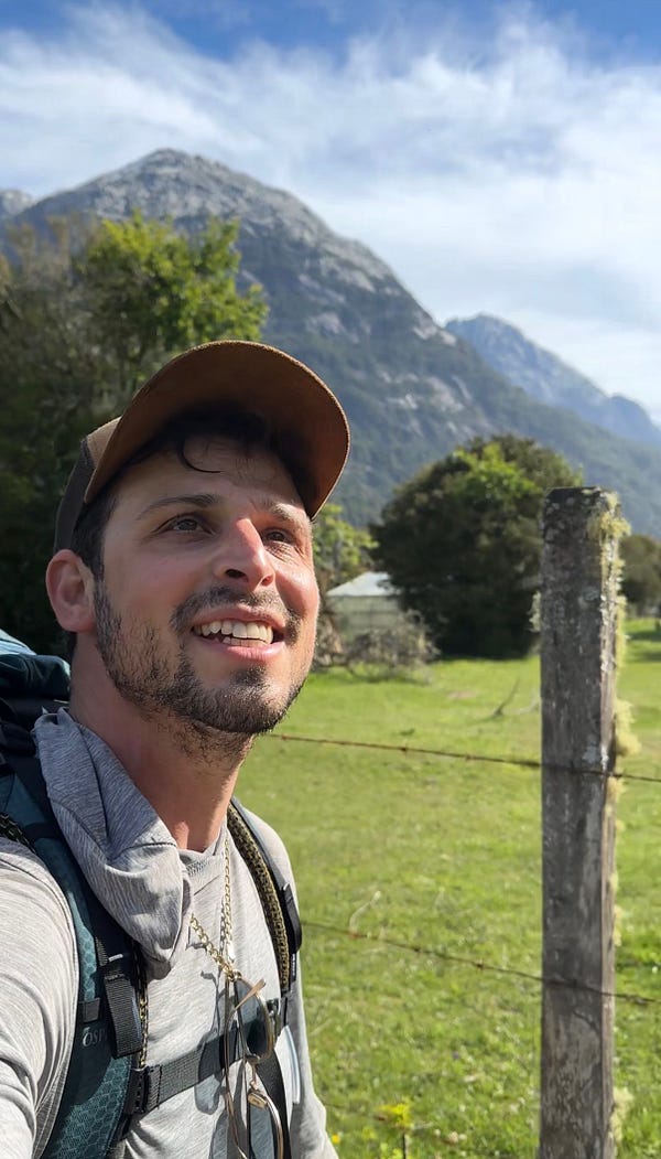
The hike down was uneventful, but as soon as I got down to the bottom, there was a bit of commotion about a seriously injured hiker who was unable to walk on his own and was coughing up blood and experiencing deliriousness (all while his girlfriend was having a meltdown). It turns out that this hiker was the guy who took the above photo of me and what had happened was he climbed further up the canyon and slipped on a some wet granite. Due to the remoteness and lack of services in Valle Cochamo, you have to be extremely careful about injuries because there really aren’t many options for you. You either have to walk out or go out on horseback, which this kid could do neither of because he was in such intense back pain (thankfully he stopped coughing up blood). Otherwise, you have to pay a local helicopter pilot something like $1500 USD (which is a bargain for Americans but very expensive for Chileans) who can take you to the hospital in the town of Cochamo. But even that hospital is tiny and may not be able to help you. Thankfully for this kid, he gradually got better overnight and was able to get to take the helicopter to the town where he was picked up by friends.
Aside from this, i spent a little time in the afternoon catching up on work via Starlink and meeting a girl that was on her third year of being a nomad. She was back in the campground for a night, taking a break from a couple days in the Amphitheatro backcountry part of the park where a friend of hers was camping out there for three MONTHS! This was one of the craziest thing’s i had heard about and she said it took him 3 days to hike all of the food and gear he would need up here. It’s good to know that people like him still exist. Beyond that, I enjoyed another evening having dinner with some of my new friends Bohdi and Tim, who were 2 American climber friends spending a month in Cochamo just climbing and hanging out. We shared some whiskey that i trekked in and traded travel stories and about life back home. I feel like the world would do some good if the stories, philosophies, and thoughts from the cast of characters that self-select to live in a place like Valle Cochamo for months at a time should be written and recorded.
Day 18: Valle Cochamo Day 3
This day would be a much longer hike. I planned to go up deep into the Trinidad creek drainage — about 4 miles and 3500 of gain/loss each way — and get up to the tiny lake where it starts and then up beyond that to the pass where I could see into a wholly separate and different valley that is similar to Cochamo but is totally untrailed and uninhabited at all — truly virgin wilderness.
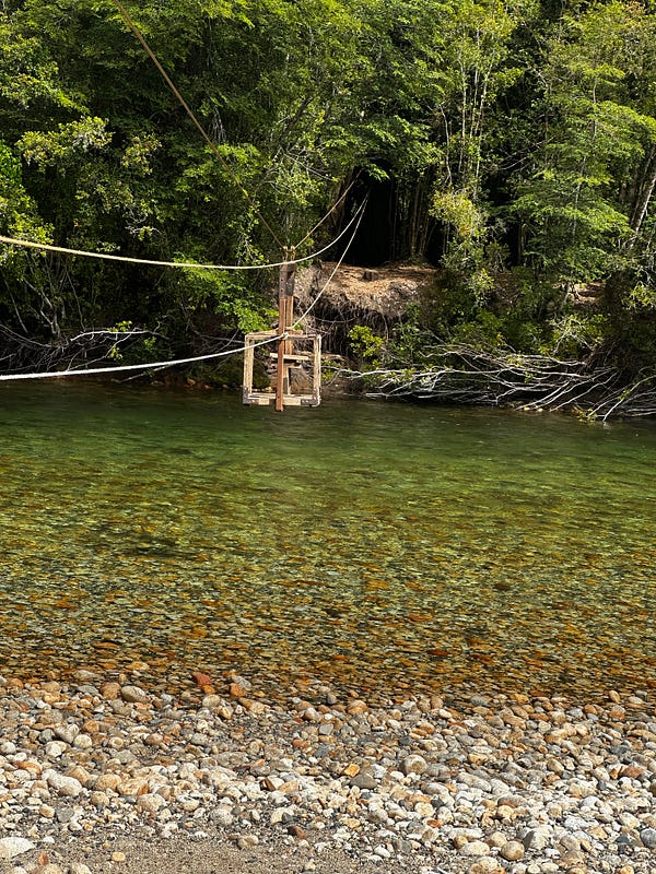
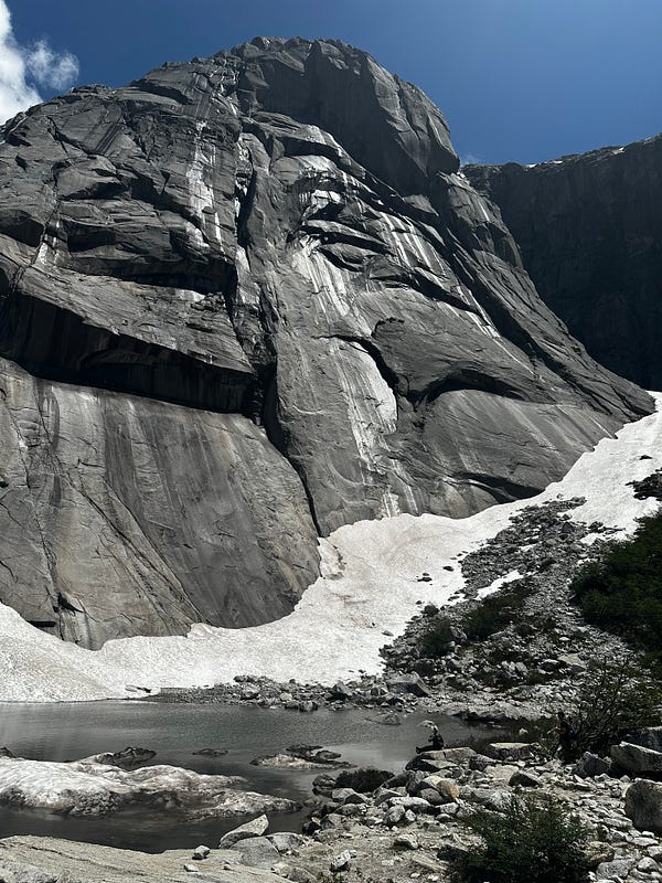
This hike was also steep and densely forested like Paloma but opened up to some beautiful views of the surrounding walls after a few miles. Getting to the laguna isn’t too difficult and once you are there it is a beautiful place to sit and have lunch and enjoy the cirque and the views back down into Cochamo behind you. However, the climax of the hike was when i climbed up to the pass beyond the lake. It was snowy at the top of the pass, but the view was by far the best i experienced in my time in Cochamo. I was elated at the view with my jaw on the floor. I was high above the valley with peaks all around me and a vertical wall that they call “The Monster” that is a taller vertical face that El Capitan, almost 4000ft of sheer cliff. It was unbelievable.
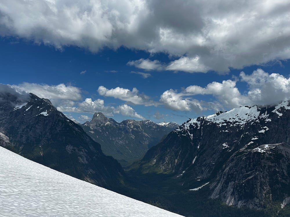
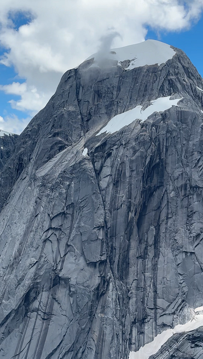
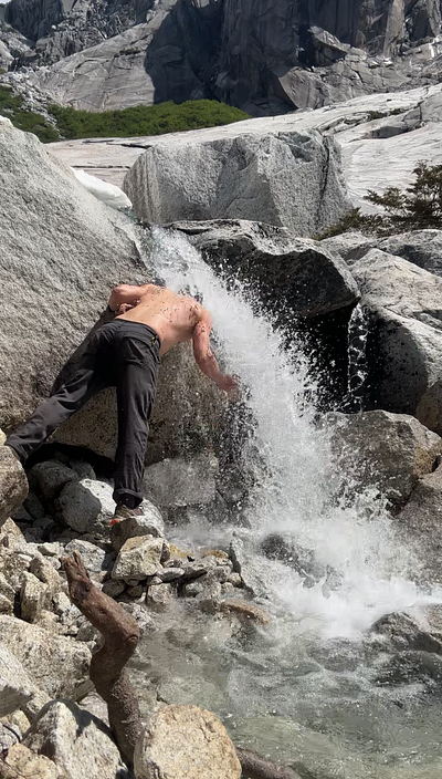
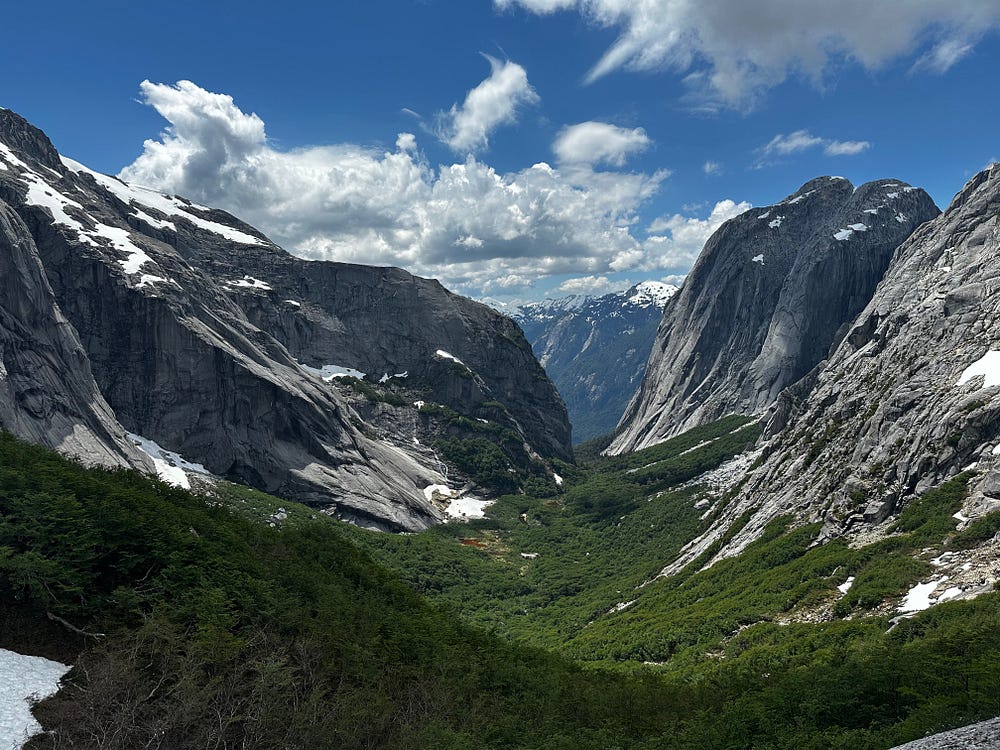
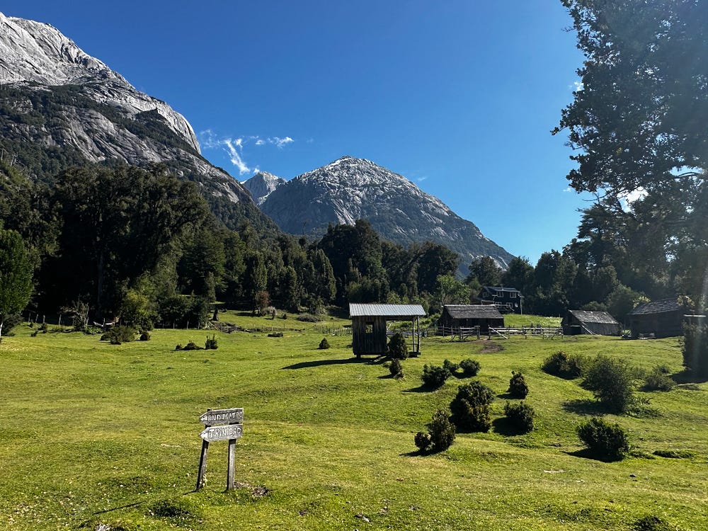
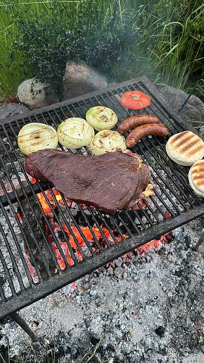
I was elated and enjoyed my hike down back to the campground. To make a a great day even better, when I got back to camp, one of the older couples spending the season there gave one of the packers $80 USD and said to bring back meat for a bbq to celebrate an expedition they were heading out on the following day. Turns out that $80 USD buys enough meat for like 25 people and they physically could not find enough people to help eat all of the meat. Just another really special evening: sitting around an open wood fire with new friends sharing travel stories while huge pieces of meat are barbecuing. Another memory that brings me happiness and one that i dont think i’ll ever forget.
Day 19: Valle Cochamo Day 4 and the drive to Puerto Montt
I hired a local guide in the valley who i met the day before to give me some introductory climbing tips. I really wish i had multiple days to do climbing lessons because the gear is so complicated and there are so many amazing routes in the area, but a half day was all i really had time for. We went to a pretty nice beginner spot that has a few routes that vary in difficulty where we went over the gear, knots, and techniques. It was fun and I’m glad I did it. Trying new sports and activities (white water kayaking, ocean kayaking, and rock climbing) was something that I meant to do on the journey, even if it’s only dipping a toe in. Being a beginner is never fun, especially at hard things, but it keeps the brain and body healthy.
After finishing up my time on the rock, I packed up my camp, had a quick lunch, and made the hike back to the car at the trailhead. I made great time, sat for a beer, and loaded in a bunch of smelly hitchhikers who needed a ride into town. One of them was a Brazilian traveler who ended up joining me for what ended up being a phenomenal meal overlooking the Estero Reloncavi with the enormous Valcanoe Cabulco in the background. Chilean wine, pasta, and steak always hits very well after 3 days in the backcountry and a 9 mile hike.
The drive to Puerto Montt was uneventful. It was a bit weird to be in a big city again and I basically just got to my Airbnb and ordered food and washed clothes. It ended up being a late night as my car rental for the next leg of my journey was cancelled as they said I could not cross the border with it. After frantically searching every car rental in Puerto Natales at 10pm (where I was flying to tomorrow) searching for an automatic vehicle that i could take across the border, I was finally able to find one. With some will power, anything is possible on with enough Reddit and Whatsapp.
Day 20: Flying to Puerto Natales, meeting Ariel, and driving to El Calafate
I definitely did not sleep enough but I woke up thrilled to finally fly to Puerto Natales to meet with my girlfriend, Ariel. The solo phase of my trip was over and I was excited to start what I expected to be one of the best trips we would ever get to do in our lives
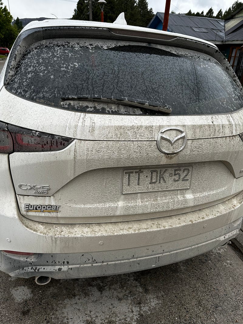
The drive to the airport and return of my trusty Mazda — which by this point was incredibly dirty — was seamless and I was at my gate bright and early. Unfortunately, that was the end of my good fortune as my flight down to Puerto Natales would be delayed multiple times. The first time was on the tarmac where they held us for 90 minutes, then again in the terminal. A 10am flight turned into a 2pm which didnt get me into Puerto Natales until 4pm, which meant a much later than preferred drive to El Calafate.
Regardless, I missed Ariel terribly and seeing her for the first time in 3 weeks made it a good day. Ariel was able to pick up our new rental car — this time a tiny Nissan hatchback — in my absence and so by the time that I arrived, we were able to drive immediately for Calafate. Puerto Natales has a real end-of-the-world feeling to it and looks almost like a tundra with what felt like non-stop pounding wind. However, the town is rather developed with tons of restaurants and shops from all of the traffic that comes through here given that it is the gate to Torre del Paine National Park. We drove right through it and were off to El Calafate without even stopping.
The drive to Calafate is long and has some pretty stretches but it is not as visually appealing as the Careterra. The effects of the Andean “rain shadow” are in full view here as the landscape is much drier then what I had just come from. The drive is also spent mostly in Argentina, with the border crossing not proving to be difficult at all even with the vehicle. A huge shoutout to Magellan Rental Cars in Puerto Natales for making it so simple. I think the drive was 3–4 hours, passing a decent amount of wildlife and arriving to town just in time to get a quick dinner before checking into our Airbnb.
What became notable immediately were two-fold. First, the food that we were able to get in Argentina — from a decently well-rated establishment — had more flavor than any meal I had had on my entire trip. It shocked me how just crossing an imaginary line in the ground meant we were now subject to a totally different — and frankly significantly better — cuisine. Secondly, the prices we were now paying for food was shocking. A dinner that would have cost $20–25 in Chile now costed us $70. We were quick to realize that the financial benefit of using the “blue dollar” was no more and the work of the new government in Buenos Aires was making it so that USD didn’t help us much at all with purchasing power. I would continue to marvel at the prices, wondering how those paid in Argentinian Pesos or the hitch hikers i had spent so much time with could afford anything here, but we didn’t have many options when it came to this so we moved on.
Day 21: Perito Merino
Ariel and i woke up in our Airbnb that had some water problems (seemed to be a theme of the trip) but we were prepared with water bottles. We got a relatively early start on the day eating breakfast at a recommended cafe that we both loved. Again, we were shocked at the pricing in Argentina, paying $50 USD for two plates and a coffee plus tip. We were not pressed for time so Ariel and I took some time to walk around the main drag of Calafate and go into some of the stores, some of which were extremely nice with beautiful pieces of art, clothing, and furs that I had never seen much of (like a sea otter coat).
After this we went and met up with our friends from Los Angeles, Max and Ashley, who were in the middle of their year-long honeymoon around the world with 6 full months in South America. We arranged to intersect our travels for a few days so we could do Calafate and El Chalten together and were excited to do this stretch together and get some quality time hiking in Argentinian Patagonia. We loaded them into our car and headed out to the Perito Merino Glacier.
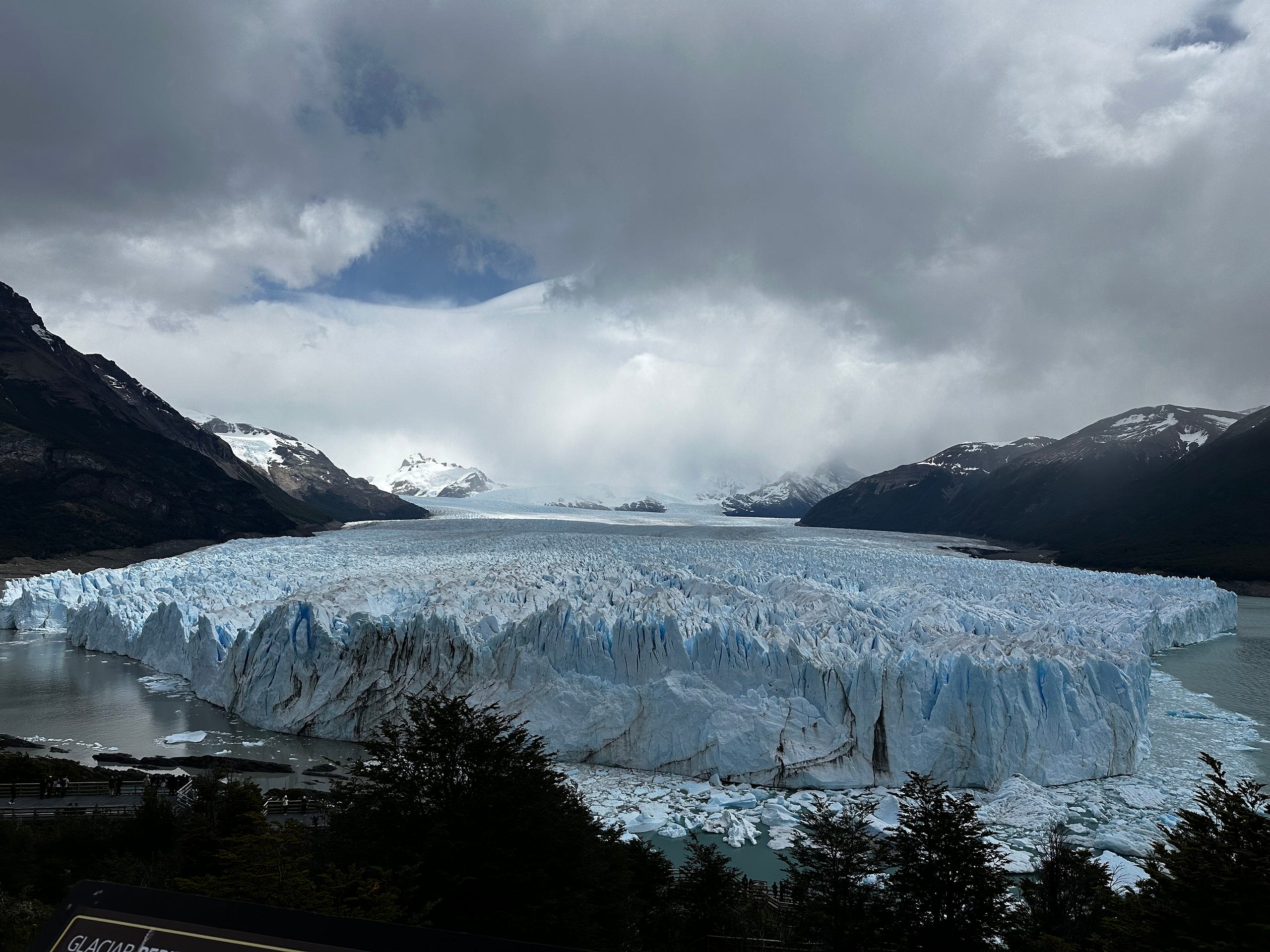
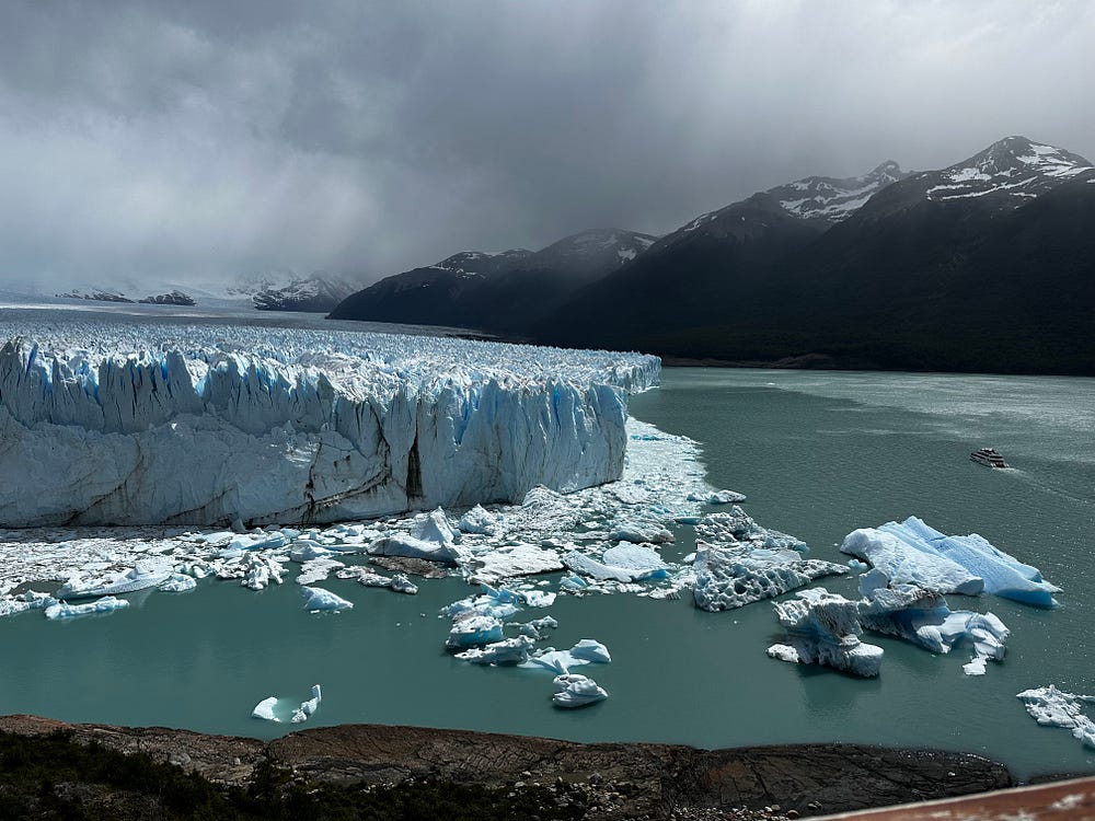
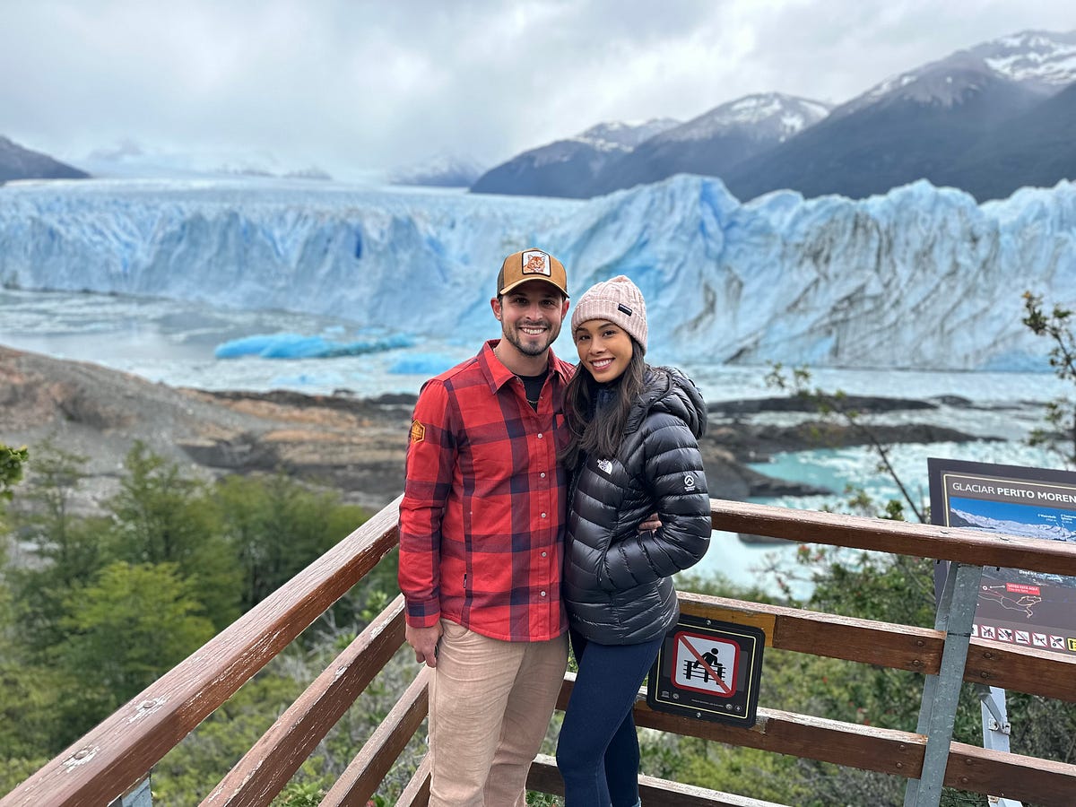
The glacier is one of the largest in all of Patagonia and draws hundreds of visitors every day. Due to it’s size, it has become an integral part of the standard Torres Del Paine — Calafate — El Chalten trip that the majority of people do when traveling to Patagonia. It’s really spectacular when you see it in person and even better when you can see the boats moving towards it while looking so small. They have built a lovely walk-way system for you to get multiple angles of the glacier, increasing your chances of watching the ice break-off or flip over, which everyone loves seeing. We spent time here with Max, Ashley, and another couple that they had met and after completing the walk-way, we were headed back towards Calafate by 5pm.
That night, we treated ourselves to an incredible dinner at an Argentinian steakhouse. As i imagine happens frequently, we were drawn by the lamb cooking over the wood fire in the window and given that steak is what you eat in Argentina, this was a spot we couldn’t pass up. We ate steak and drank wine until we couldn’t take one more bite talking about our travels up to this point and about our excitement for the next few days. The following day would be a long drive to El Chalten, so after dinner we headed home to get a decent night’s sleep.
Day 22: El Chalten Day 1
El Chalten is a place I dreamed of visiting for well over a decade. It really is one of the mountain/outdoor meccas of the world. It is a small trekking town in the shadow of the Fitz Roy range, a small subrange of the Andes that separates Chile and Argentina, but is only accessible from the Argentinian side. It’s been a very famous place for decades, highlighted in many climbing movies and most importantly, as the logo for the outdoor clothing brand, Patagonia. It’s very quant and tiny and doesn’t offer much except for food, lodging, and walkable access to a number of trailheads.
The drive from Calafate is through the hilly grasslands that seem to go on forever. We were blessed with some great weather and so one of the highlights was after an hour and a half, we were able to get a view of Fitz Roy way off in the distance, over 60 miles away! The rest of the drive it got larger and larger until we rolled into town around 12:30/1pm.
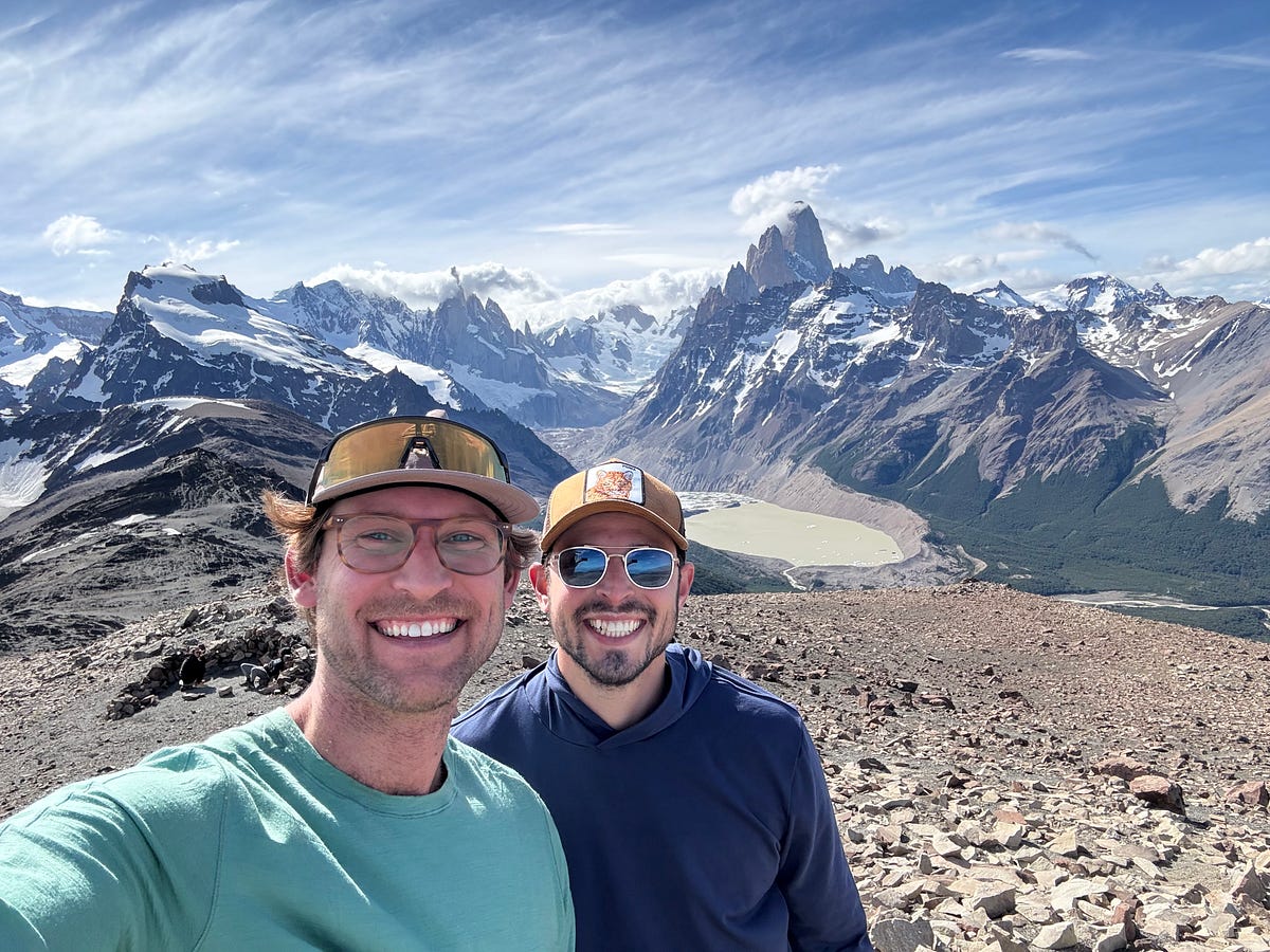
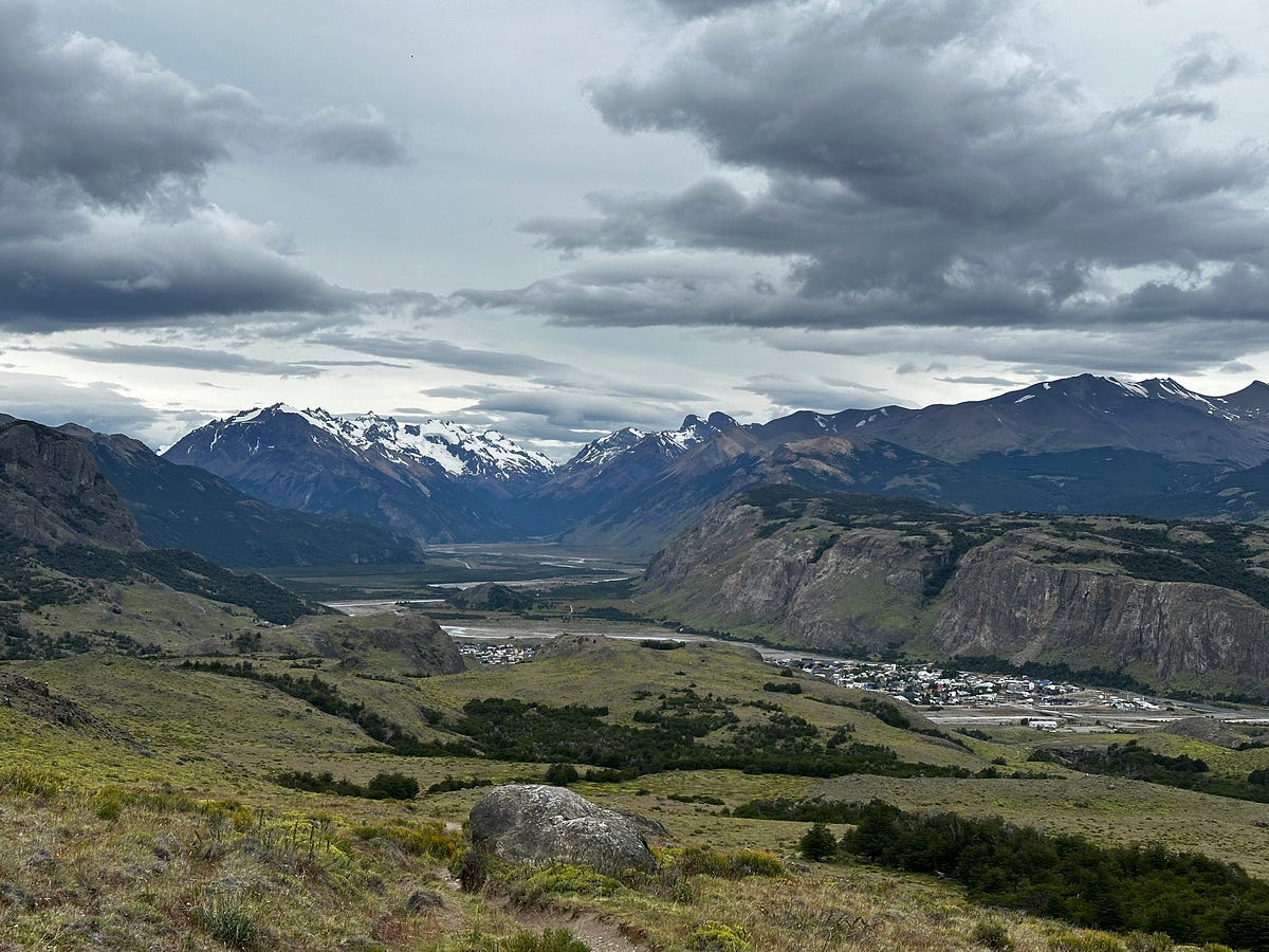
In Patagonia, the weather is truly unpredictable so when you get a nice day, you need to take advantage of it. Given that we had arrived in town early, we made a group decision to hike one of the harder but shorter trails that would take us up a small peak and give us a beautiful perpendicular view of Fitz Roy, Laguna Torre, and the beautiful Cerro Torre. We stopped at a grocery store, stocked up on some lunch and snacks, packed our day bags, and hit the trailhead. This trail was called Loma del Pliegue Tumbado and although it was a climb straight up, we got an absolutely incredible view at the top. We were all jubilant at the views of Laguna Torre, Cerro Torre, and Fitz Roy and this hike immediately proved why this region is considered one of the most beautiful in the world. I could have stayed up there forever. Max and I left the girls at the viewpoint to get to the summit which was about a 35 min and worthwhile detour. After heading back down and basking in the weather and the view for a bit longer, we headed back down to town for dinner and to check into our Airbnb.
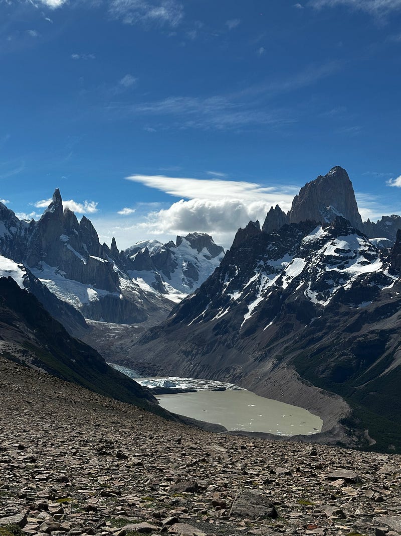
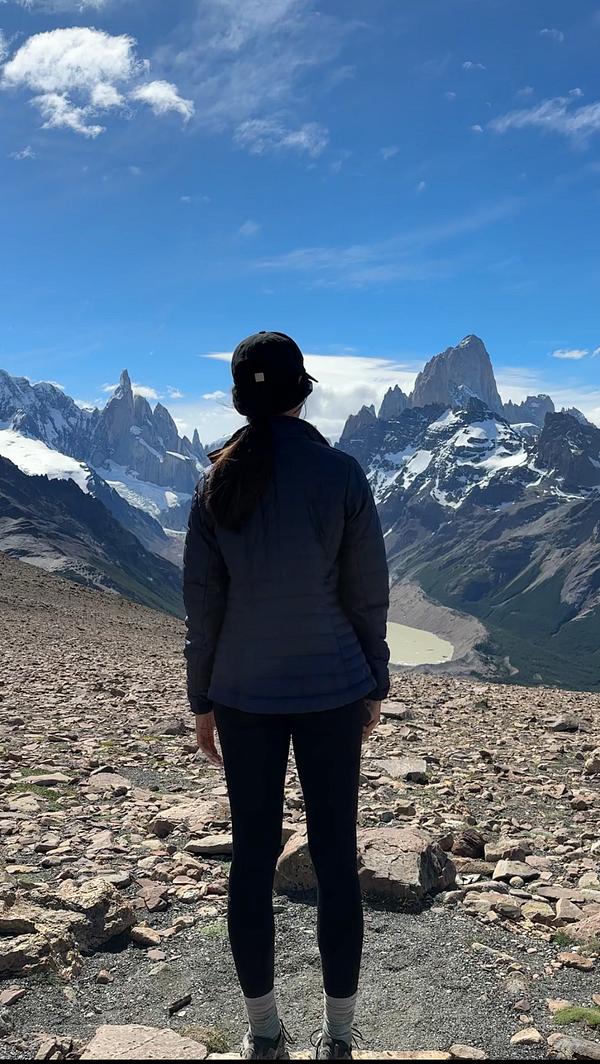
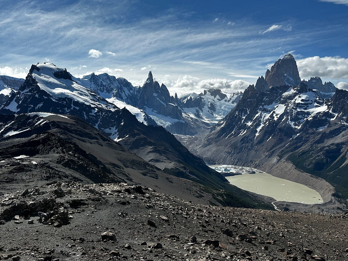
We made the decision during the planning stage to find a place that could accomodate all 4 of us because it’s always more fun to stay with friends. The problem was we booked a bit late and so the only place that was available was a really tiny apartment. Regardless, it worked for our needs and it ended up being a cozy stay. After dinner, we headed to the market to get groceries so we wouldn’t be stuck buying food for every meal and got breakfast and lunch supplies and then headed to check in. We all showered, turned on the movie Casino, and went to bed early.
Day 23: El Chalten Day 2
We woke up to a gloomy and rainy day, which was expected and further vindicated our decision to climb Loma del Pliegue Tumbado the day before while it was sunny. We made a breakfast of leftover steak, eggs, and avocado and lounged around for a bit.
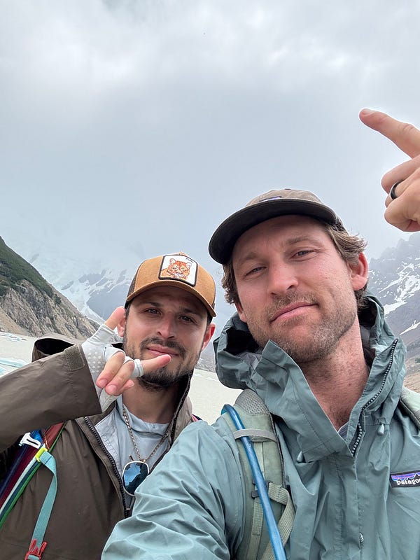
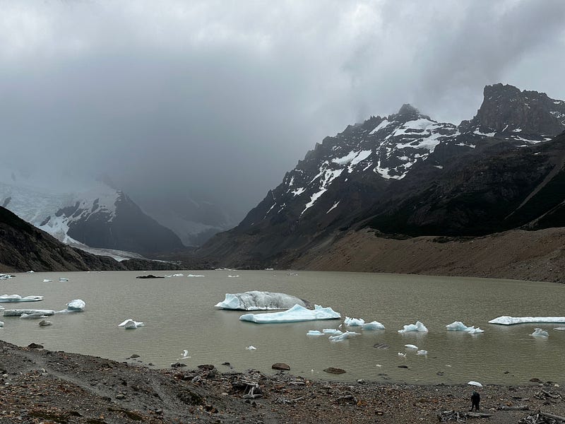
Even though it was gloomy, Max and I still wanted to hike to Laguna Torre but given it’s length, the girls decided to head to a shorter, different hike to a waterfall and then we could meet later. Max and i got some quality time and even though it was gloomy, it was nice to get our legs moving. The view at the end was socked in with clouds which was a disappointment but we envisioned what it would look like given our view from yesterday.
We hiked back into town, got drinks while the girls finished up their hike, and then we all met at the house. We ended up going to dinner at another steakhouse where we met up with a friend of Max and Ashley’s who is also a co-worker of Ariel’s. He was doing a similar trip to us and so we traded stories and tips. We were on a roll with restaurants, with every meal so far being exceptional. We ended up at a bar after dinner that had live music where we drank and played cards and then headed home in anticipation of our long hike to Laguna de los Tres the following day.
Day 24: El Chalten Day 3
We had planned for this day to be the day we would do Laguna de los Tres given that it was supposed to be our guaranteed sunny day. I woke up absolutely stoked as I was finally getting to do a hike that I had been waiting to do for well over a decade. While Max made another big breakfast of leftover steak, eggs, and avocado, I made us turkey and prosciutto sandwiches for lunch. Back in El Calafate, we were advised by another couple to hire a driver to take us to the Rio Electrico trailhead so we could make this hike point-to-point and also check out another glacier — Piedra Blanca — on the way to Laguna de los Tres. After we had packed our day bags, our driver picked us up and drove us about 25 minutes north of town to the trailhead.
A side-note is that here is where we got our first sight of the newly opened OVO hotel pods and were the talk of the town. The pods are truly a hospitality wonder, made of glass-shaped teardrops suspended on the side of a mountain with ropes that give you an enormous view of the area and an incredible view of Fitz Roy.
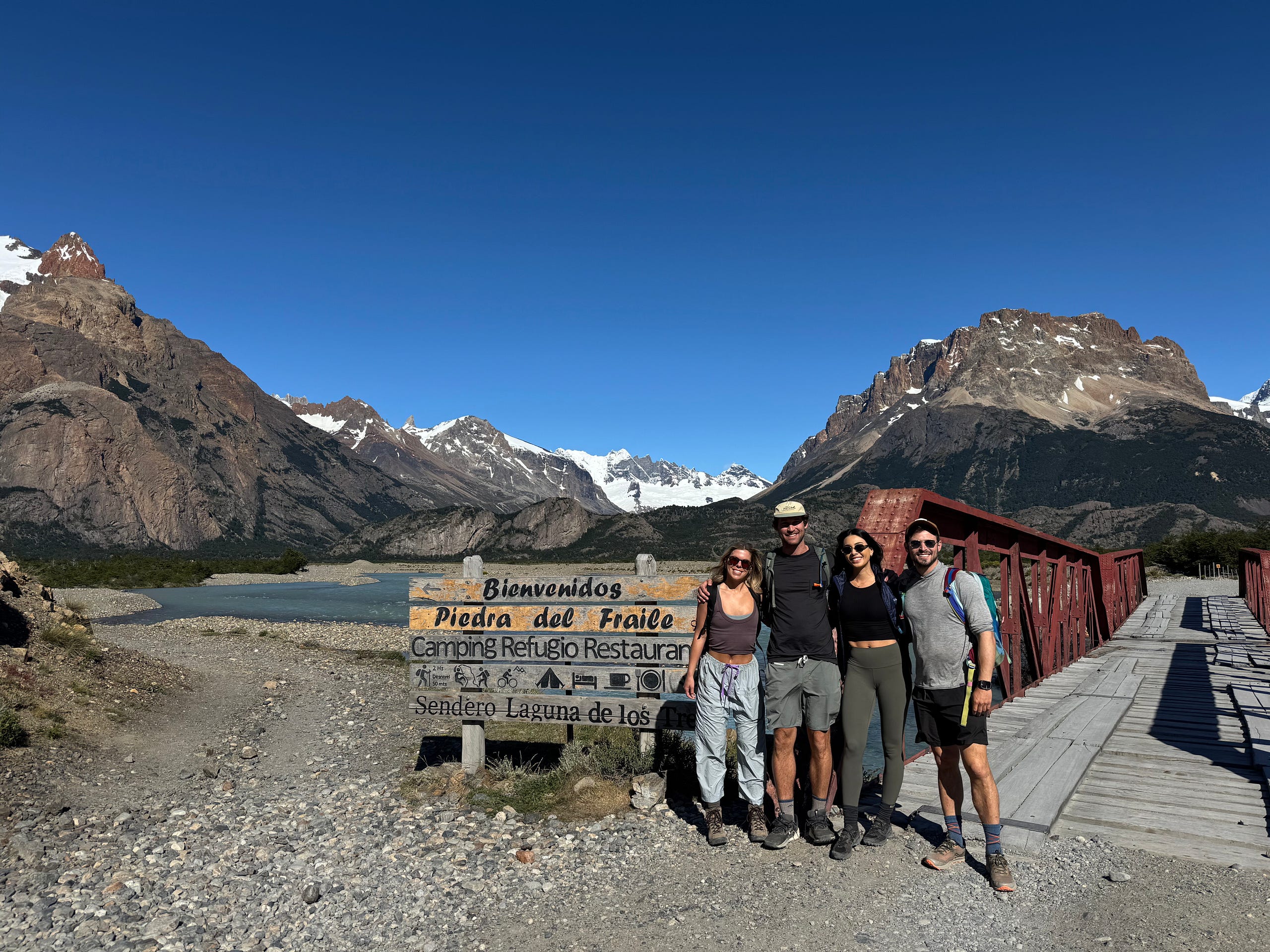
We started our hike around 9:45am and were on our way to Piedra Blanca. I was thanful to have my Pocket Earth map as the trail system in the area was is a bit confusing and the signage isn’t great so it is easy to miss the correct trail. After about an hour and a half, we approached Piedra Blanca where the trail turned into a fun rock scramble. We eventually made it to a huge boulder which offered us an incredible view of the lake and glacier. We were ecstatic and decided to snack and enjoy the view for a while.
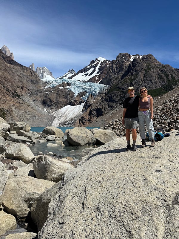
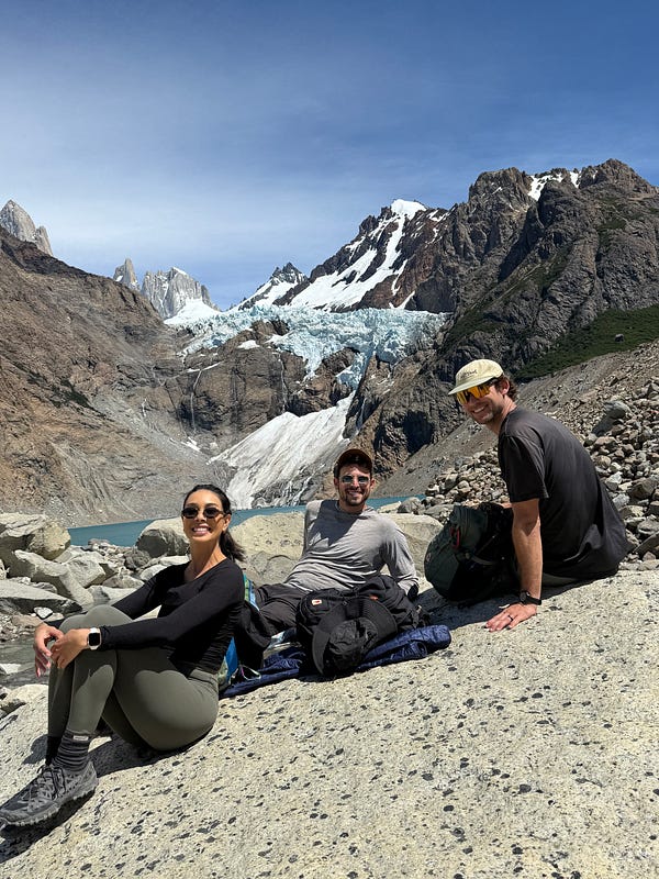
The trail from Piedra Blanca to where it intersects with the trail that came from town was gorgeous. We walked through a canyon along the riverbank and the weather could not have been better. The cherry on top was that until we intersected with the trail that came from town, we did not see another hiker at all. The solitude ended quickly once we joined the rest of the crowds on the ascent towards the lakes. This is one of the busiest hikes I had ever been on in my life and made me — for once — applaud the permit system of the US. Although i commended the accessibility offered to all those who wanted to attempt the hike, it felt like a Disneyland ride with the amount of people ascending and descending the trail.
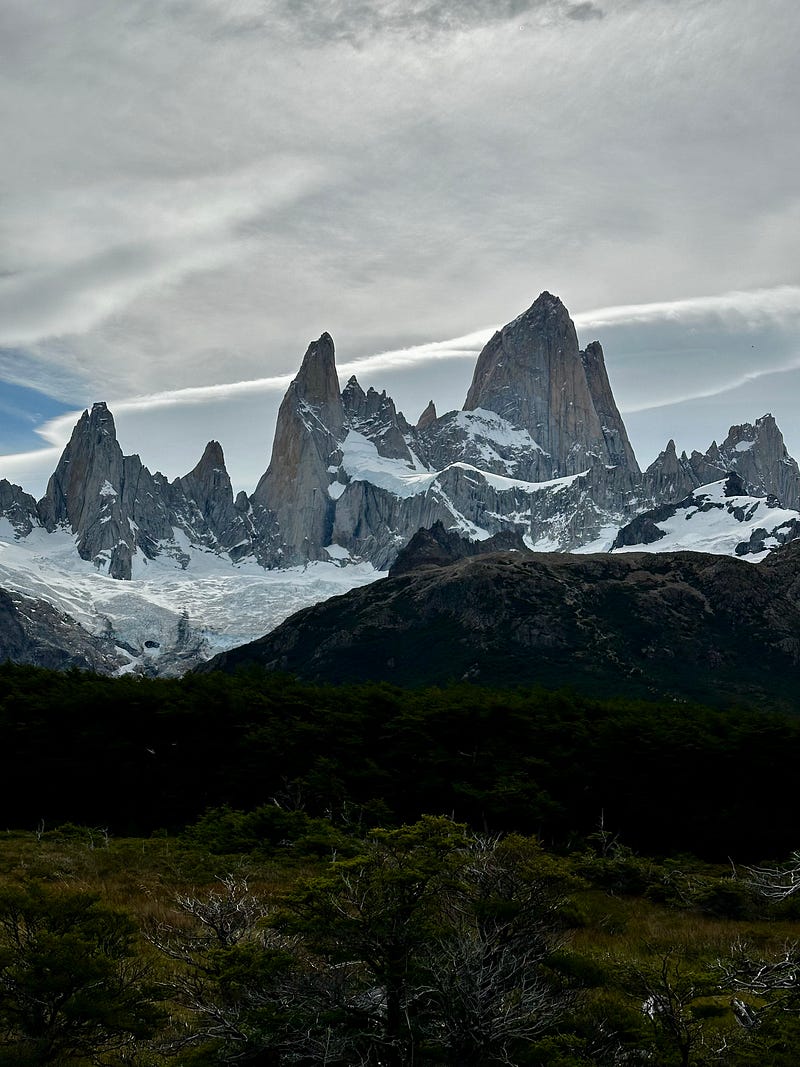
Nonetheless, after maybe 45 minutes of slogging up a very steep climb, we finally made it and the crowds and wait was worth it. There we were, finally, in the shadow of Cerro Fitz Roy, which truly is one of the most beautiful and impressive pieces of rock i have ever seen. Once you lay eyes on it from this close, it is so obviously a special place. It’s size, shape, and Laguna de los Tres in the foreground easily made this one of the most incredible places I have seen.
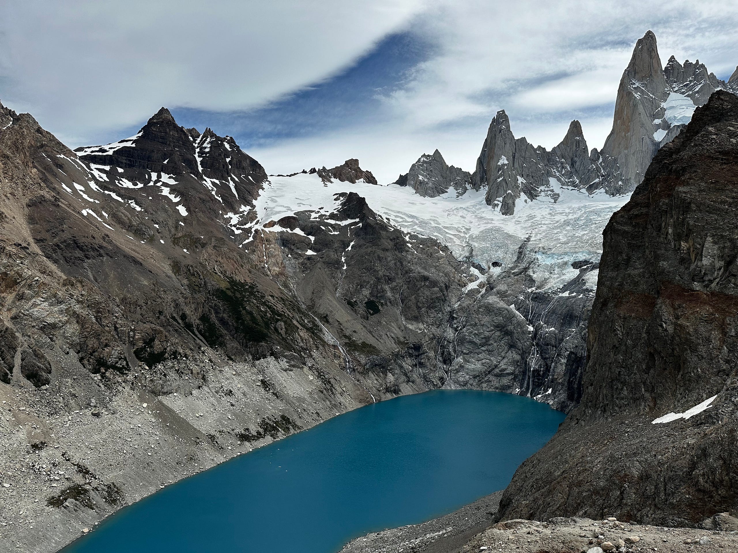
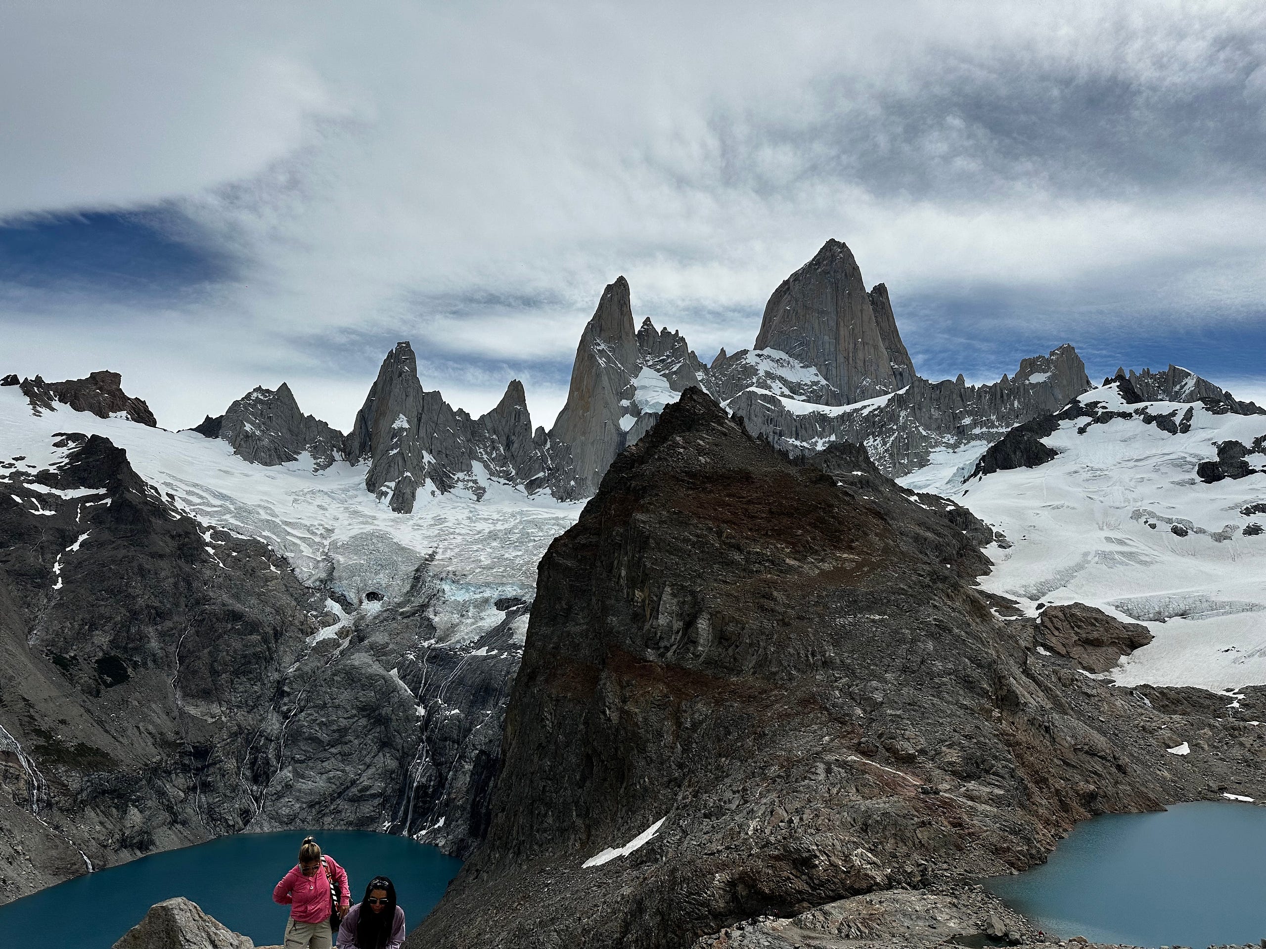
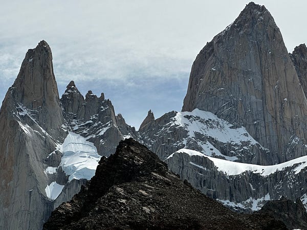
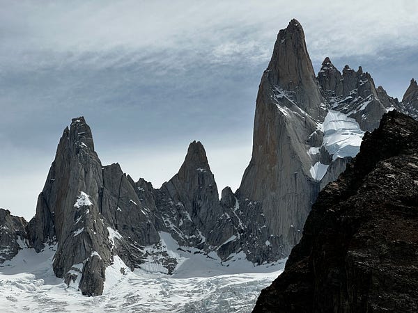
We stayed up here for a while…something like an hour and a half…while we gazed, rested, and enjoyed the feeling of being present amongst such a special place. Over and over again I would be left with my jaw on the floor admiring the different peaks, tracing my eyes along it’s cracks, dreaming of one day possibly making an ascent of their summit. We ate our lunch, took some photos, and then reluctantly began our decent back into town.
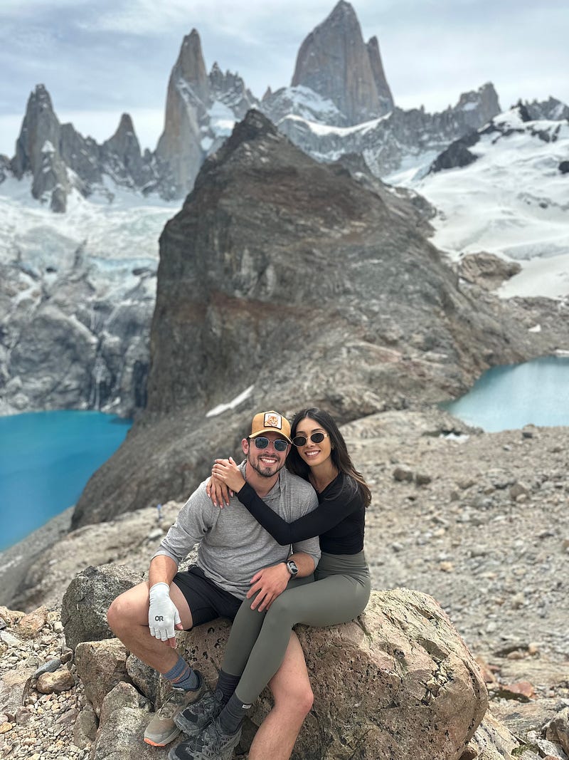
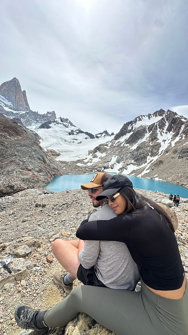
The hike back had some highlights with many views of Fitz Roy, but i would be lying if i didn’t admit feel a sort of bittersweet having my back towards the peaks. I was so happy to have finally gotten done Laguna de los Tres, but sad that it was so short. We got back around 7:30pm having spent almost 10 hours on the trail which is always a great day. Thankful for such a great day, we showered, ate dinner, and continued watching Casino until we passed out.
Day 25: El Chalten Day 4
Having done all 3 hikes that we wanted to do and with the weather a bit questionable, we decided that this day would be spent relaxing and enjoying the town versus on the trail. I dont remember too much from the day outside of hitting a couple of bars that had outdoor patios where we could enjoy some sunlight and have a few drinks.
Day 26: The Journey to Torres del Paine
It was Christmas Day and the goal of this day was to make the 6 hour drive from El Chalten back across the border to Puerto Natales. We got started driving straight from El Chalten to the Calafate Airport so Max and Ashley could continue their adventure to Buenos Aires and beyond. It was sad to leave them but we had had so much fun and we both had some great traveling in our immediate future so it was all smiles when we dropped them off. We continued on our way and after another seamless border crossing (thanks to Magellan Car Rentals), we were in Puerto Natales by mid-afternoon.
After checking into our hotel and then finding some food (which was difficult given that it was Christmas), we reconfigured our bags in preparation for the W-Trek in Torres Del Paine National Park the following day. We loaded all of our gear+food (we brought our own breakfasts and dinners) into my 65L that I would carry and then the 26L day-pack that Ariel would carry and then put the rest of our bags into the corner for the hotel to hold while we were on the trek. This is normal in Puerto Natales given the amount of travelers coming through here with the same travel plans. We double checked all of our reservations and then passed out due to a very early bus to catch.
Day 27: The W-Trek Day 1 — Puerto Natales to Chileno
Back in El Chalten, Max had helped us book all of the small pieces of travel that we would need to get to and from the W which was tedious but necessary. He advised taking the first bus to Torres Del Paine (TDP) at 7am so we could try to avoid the majority of the crowds which we thought was good advice. We arranged a cab for 6:30am and made it to the bus station with plenty of time to spare. It was busy but after asking around we were able to find the right bus and get on with no problems.
It’s a 2.5 hour bus to TDP and once there, they check your permit and then you take another bus to the visitor center where you begin. Ariel and I played it slow and had a snack and coffee and bought some souvenirs before starting. Our first night was spent at Chileno so although we had a long day in front of us with a lot of climbing, i knew it was going to be special since we were set to see Las Torres, which one of the main draws of the hike and one of the most beautiful peaks in all of Patagonia.
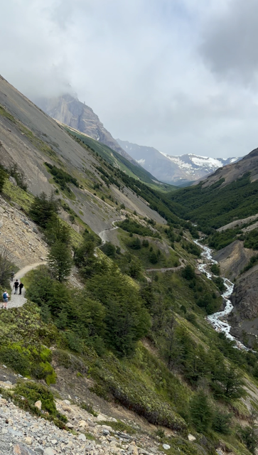
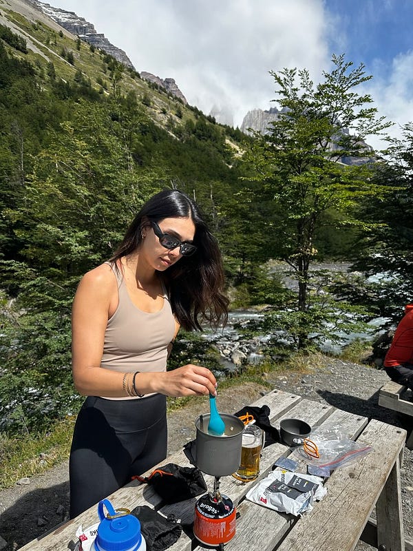
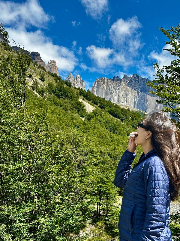
We huffed and puffed up the trail to Chileno which took us about 1.5 hours. The weather started off cloudy and misty but by the time we were at the refugio, it was sunny which meant we would get a great view of Las Torress. Chileno was extremely crowded with hikers and we made the best of it by sitting down at a table and making some lunch. We planned to rest our legs for a bit and then continue the climb to Las Torres with just the day-pack since we were unable to check-in to our tent until 4pm. The tents at Chileno are essentially rooftop tents set onto a brace and dug into the mountain-side. They are arranged in an amphitheater style, with the top ones being a decent climb to get to.
I think we started our hike from Chileno to Las Torres at around 2pm and by 3:15pm we were at the top after a couple phases of steep climbing. It was windy with the clouds coming in and out making for a moody backdrop to an absolutely beautiful place. The lake with the three towers in the back are striking and it’s hard to imagine the geologic history and formation of these three enormous finger-like peaks jutting into the air. The photos will tell a better story of this place’s immense beauty, but what they don’t show are the enormous crowds. Like the hike to Laguna de los Tres, I believe this hike to Las Torres was the most crowded hike I have ever been on.
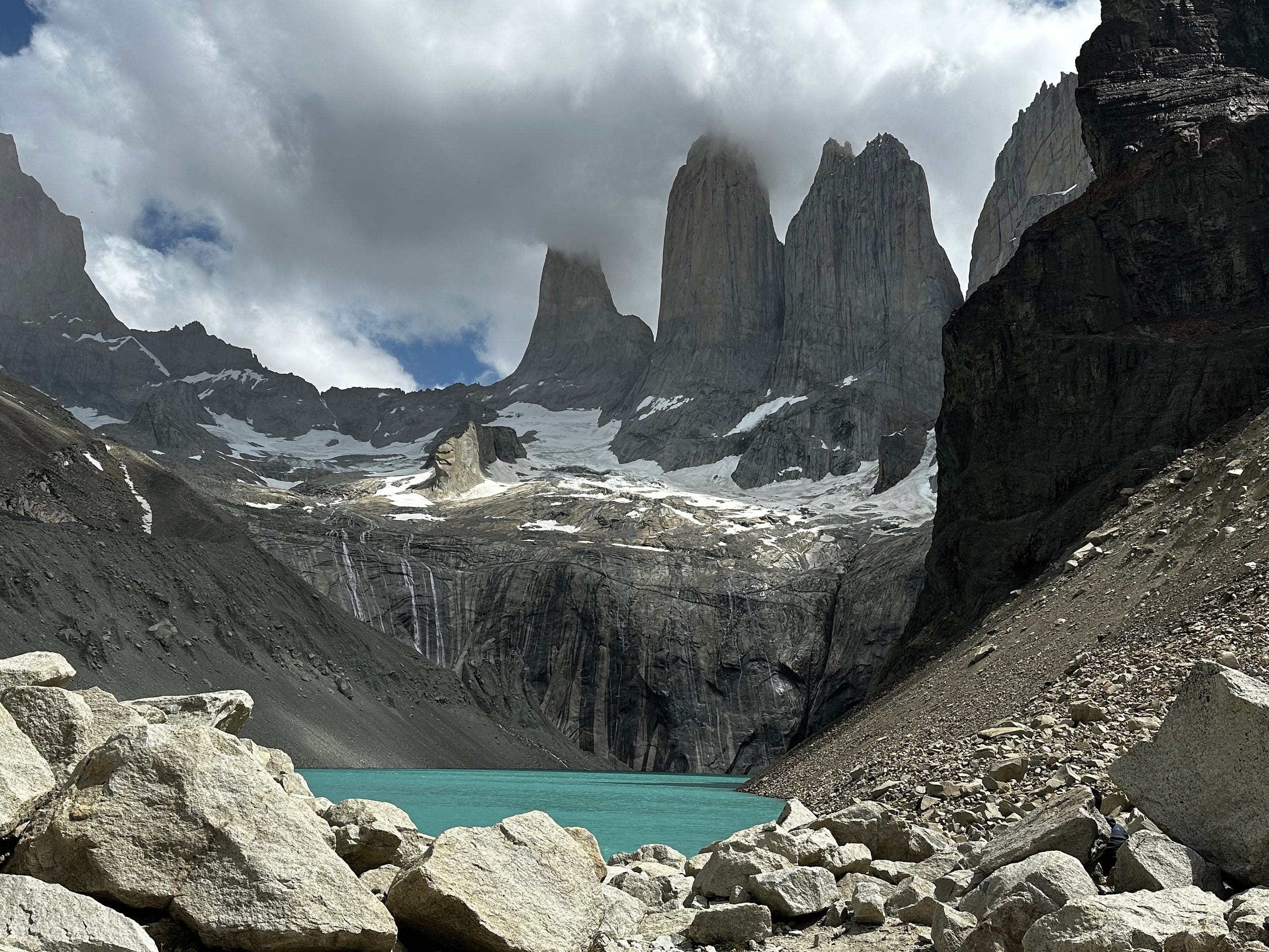
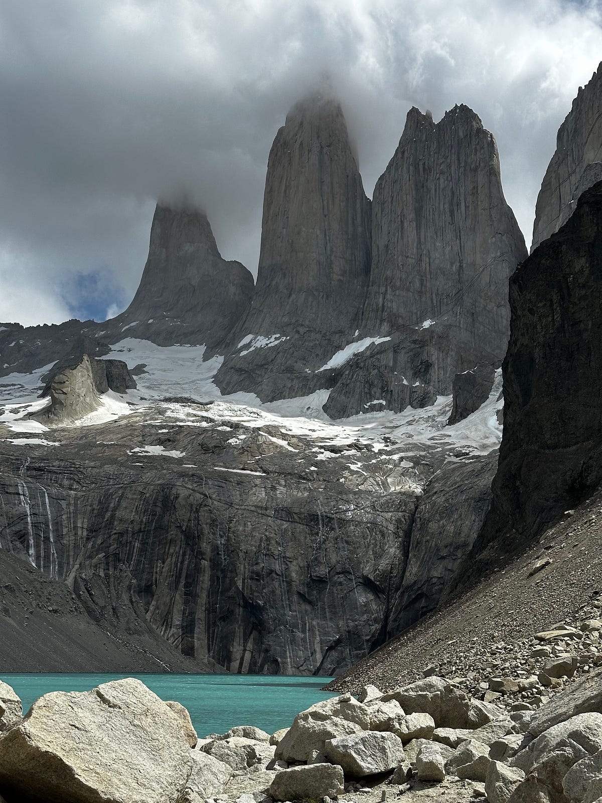
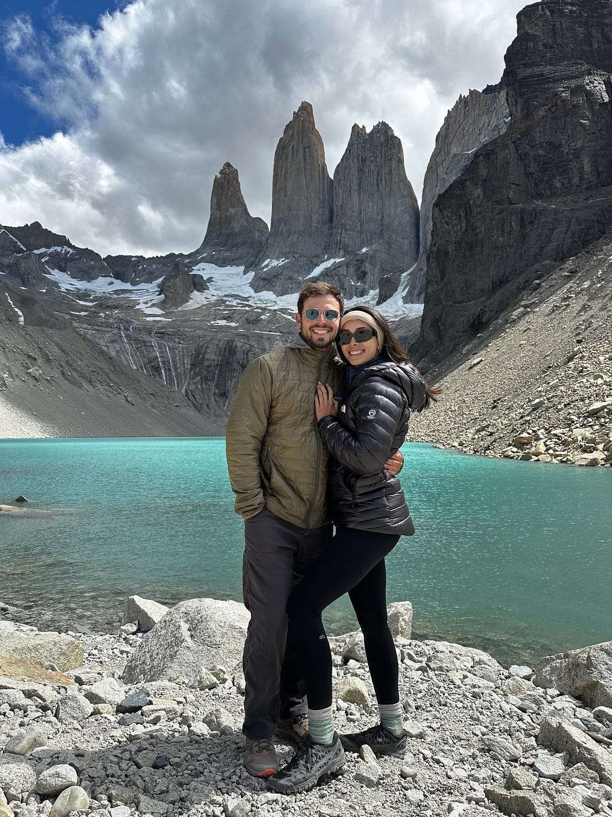
We plopped down under a big rock for a while until the cold and drizzling rain compelled us to leave. We were back at the refugio quickly and checked in. Our tent was way at the top on a very steep slope and it was here that I realized i did not like Chileno since every time i dropped something on the floor it rolled down 40 feet requiring me to go and chase it. Aside from that, the tent was great and very comfortable. After we were settled, we hit the showers and then made dinner before having a few drinks and getting into our tent before it got cold.
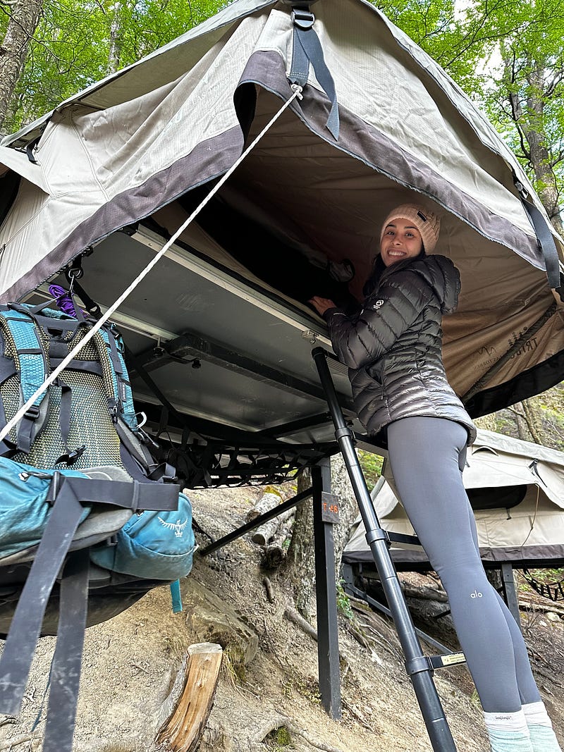
It was about now that i started for form my opinion on Refugios. It is nice to be able to sleep in a tent that is made for you, buy drinks and snacks, have internet, and shower every day. However, it creates a totally different experience and brings in a type of person into the backcountry that I am not used to encountering. I’m not used to people not understanding LNT, not being in the right physical condition, and not accustomed to carrying their own gear. However, from an accessability standpoint, it is as good as it gets, allowing those people to see something they wouldn’t be able to see in the United States.
Day 28: The W-Trek Day 2 — Chileno to Cuernos
I had a funny little list running where I would track the time of the first smile of Ariel’s day and today’s was very early, right upon waking up at 8:30am. We were both in a good mood after a long night’s sleep after the previous early morning. We slowly packed up our things, made/ate our oatmeal breakfast, and then chit-chatted with some of the other trekkers around camp before leaving camp somewhere around 10am. The first part of the hike is nothing special as your retracing steps on the way down from Refugio Chileno passing the hoards and hoards of hikers doing the hike that we had finished the day prior.
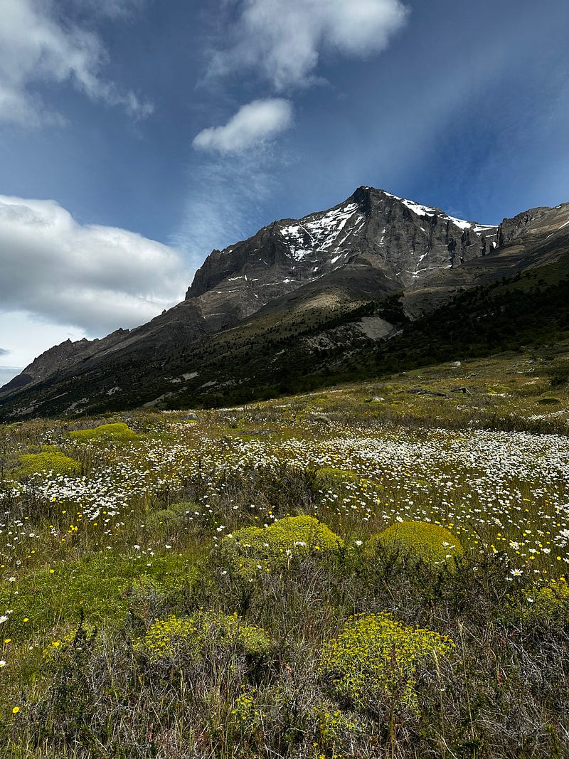
Once we turned off to the trail that goes to Refugio Cuernos — our camp for night 2 — the trail opens up with a big and beautiful view the valley below and then you start to get the beginning views of turquoise Lago Nordenskjold. This section of the hike is full of beautiful hills and wildflowers and we also started to get glimpses of the the Cuernos cliffs which were very cool to see as well.
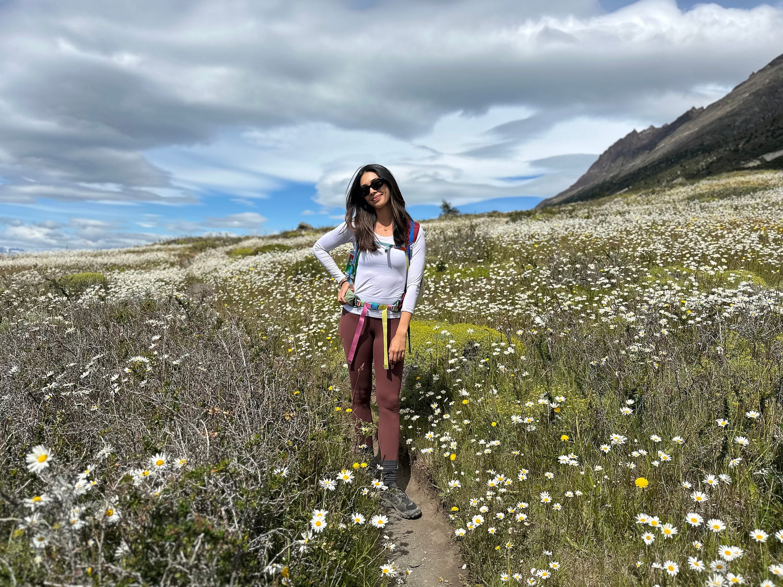
With the lake in full view, we wondered off the trail for a little bit to eat lunch and get a break from the groups of people that we kept passing or kept passing us. Although the trail is beautiful, the amount of other trekkers is exhausting. In this section there really were no places to take a break without there being 5 other groups of hikers resting in the same place. I’m not used to hiking in such crowded places, so the lack of solitude was a distraction to how beautiful the hike was. Still loved this section though.
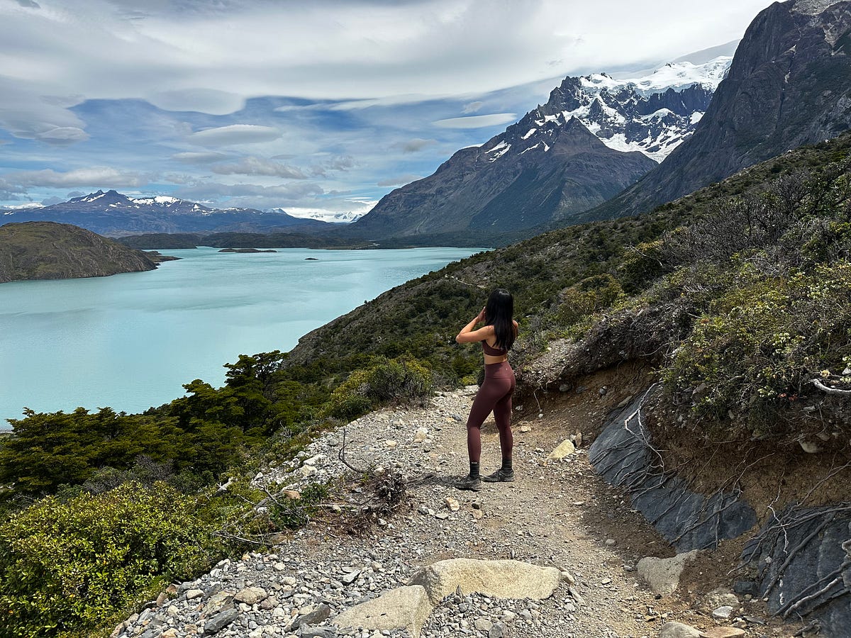
The views of the Cuernos cliffs just kept getting better and better to our right and the views of the Lago Nordenskjold made the approach to Refugio Cuernos a really beautiful section. Its hard to take your eyes off the cliffs due to their size, color, and unique geological attributes. They are enormous sheer faces that i would imagine get a ton of attention from climbers. At first glance, it appears that they are composed of a few different types of rock that were then eroded via glaciation resulting in the totally weird shapes and colors.
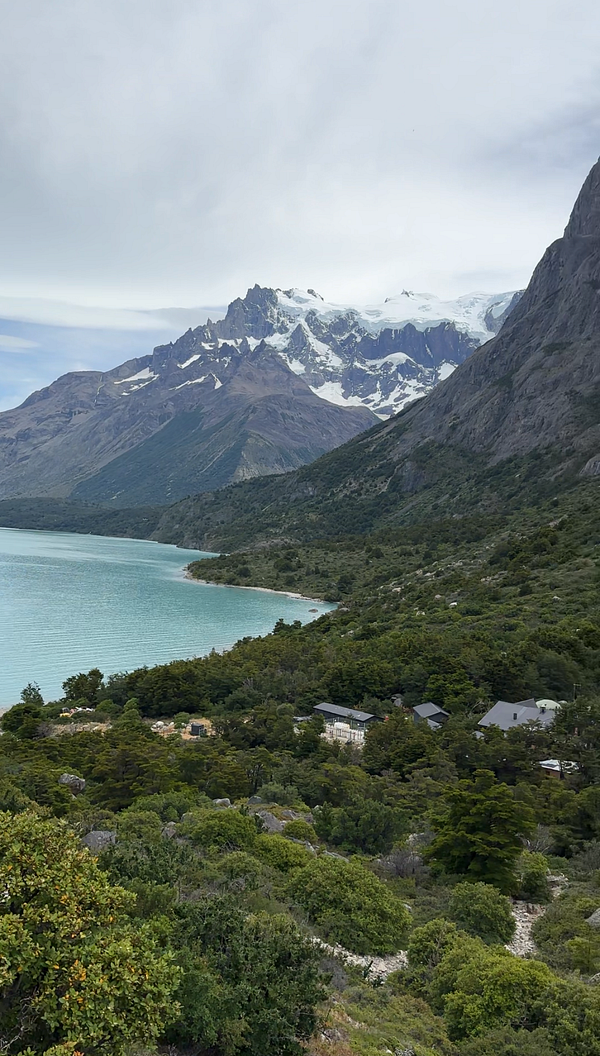

Our hike after lunch wasn’t long and we were at the Cuernos camp by about 2:45pm, leaving us a ton of time to relax and enjoy the afternoon views. At Cuernos we rented a cabin which turned out to be one of the highlights of the entire trek: privacy and a real bed and also private showers and bathrooms. After cleaning up, we spent most of the day having drinks in the bar, playing cards, eating snacks, and walking down to the lake to enjoy the view and put our feet in the water. Due to the fact that the only people at Cuernos are those doing a full trek, i felt the crowds at Cuernos are also lighter than the other refugios. Because of all this, Cuernos ended up being our favorite refugio and i would highly recommend the cabins if you can swing it.
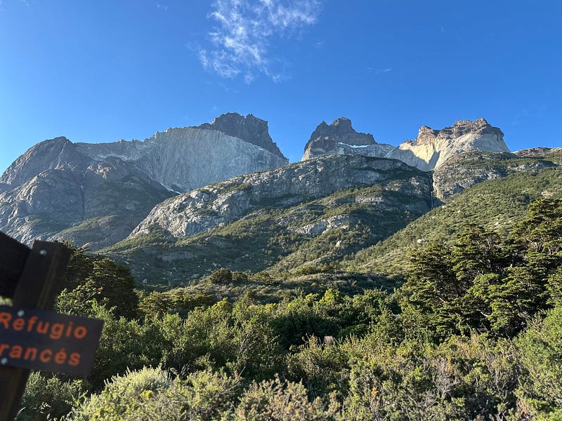
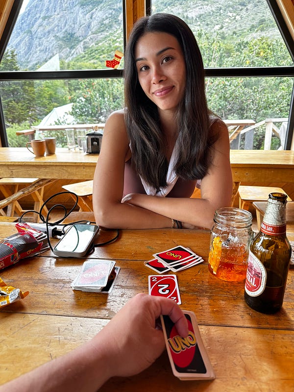
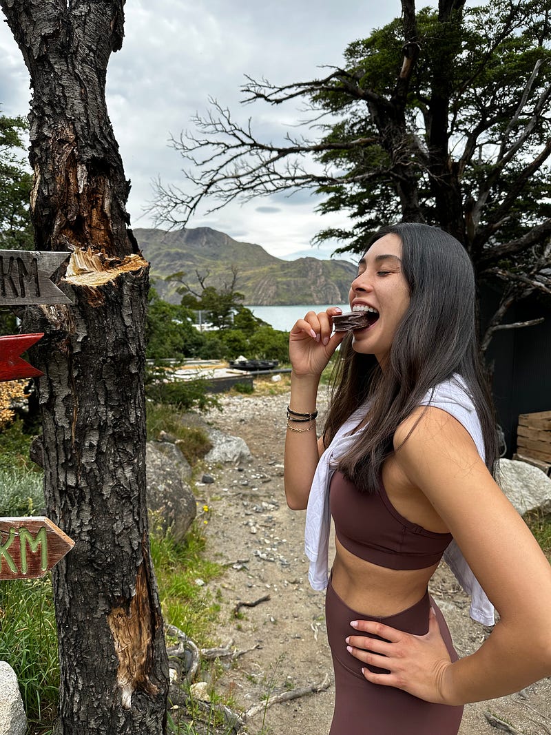
Day 29: The W-Trek Day 3 — Cuernos to Paine Grande
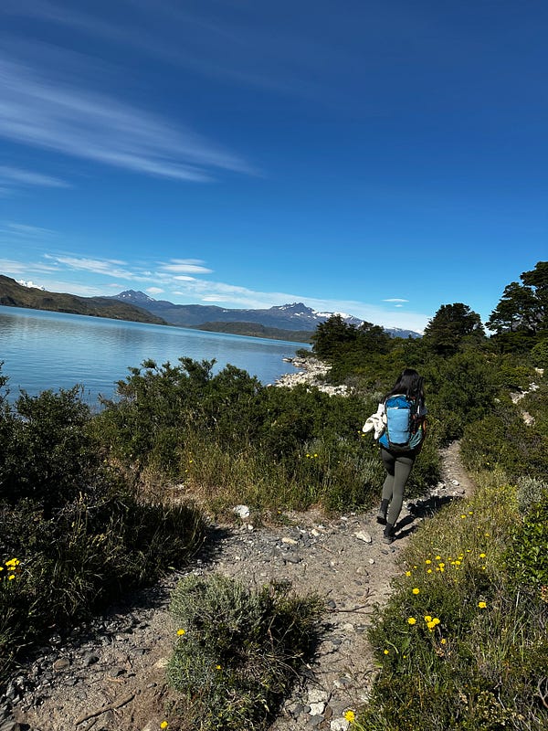
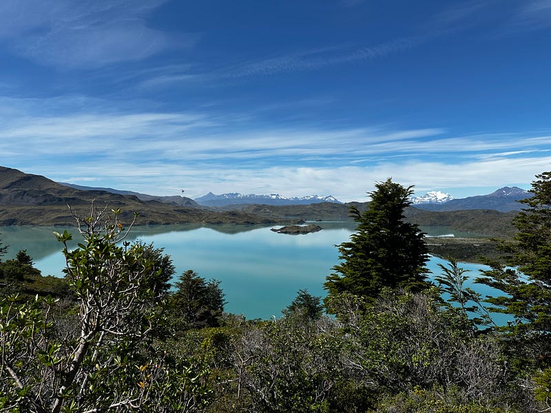
We enjoyed another slow morning with great weather and got started on what would be our biggest day of hiking on the entire trek. Today we were going into the French Valley and then sleeping at Paine Grande which ended up being about 14.5 miles and a little under 3000 feet of gain.
The beginning of the hike continues along Lago Nordenskjold for a bit before passing Refugio Frances. Frances seems like a great refugio but it didnt make sense for us to stay there given our timing. We made it to Italiano pretty quickly where we would drop the 65L pack and then just carry snacks and water in the day-pack which would be transferred to my back so Ariel could hike with nothing except poles. From here the climb (and the crowds) intensify. After just a few hours, we were at Mirador Frances where you get an amazing unobstructed view of the glacier. We snacked here as we decided to take our lunch break at Mirador Brittanico further up where hopefully there would be more space and less crowds. We pushed on and up another hour or so through the heat and elevation gain until we entered the Britanico section where the trail opens up into a beautiful and enormous glacial cirque bowl.
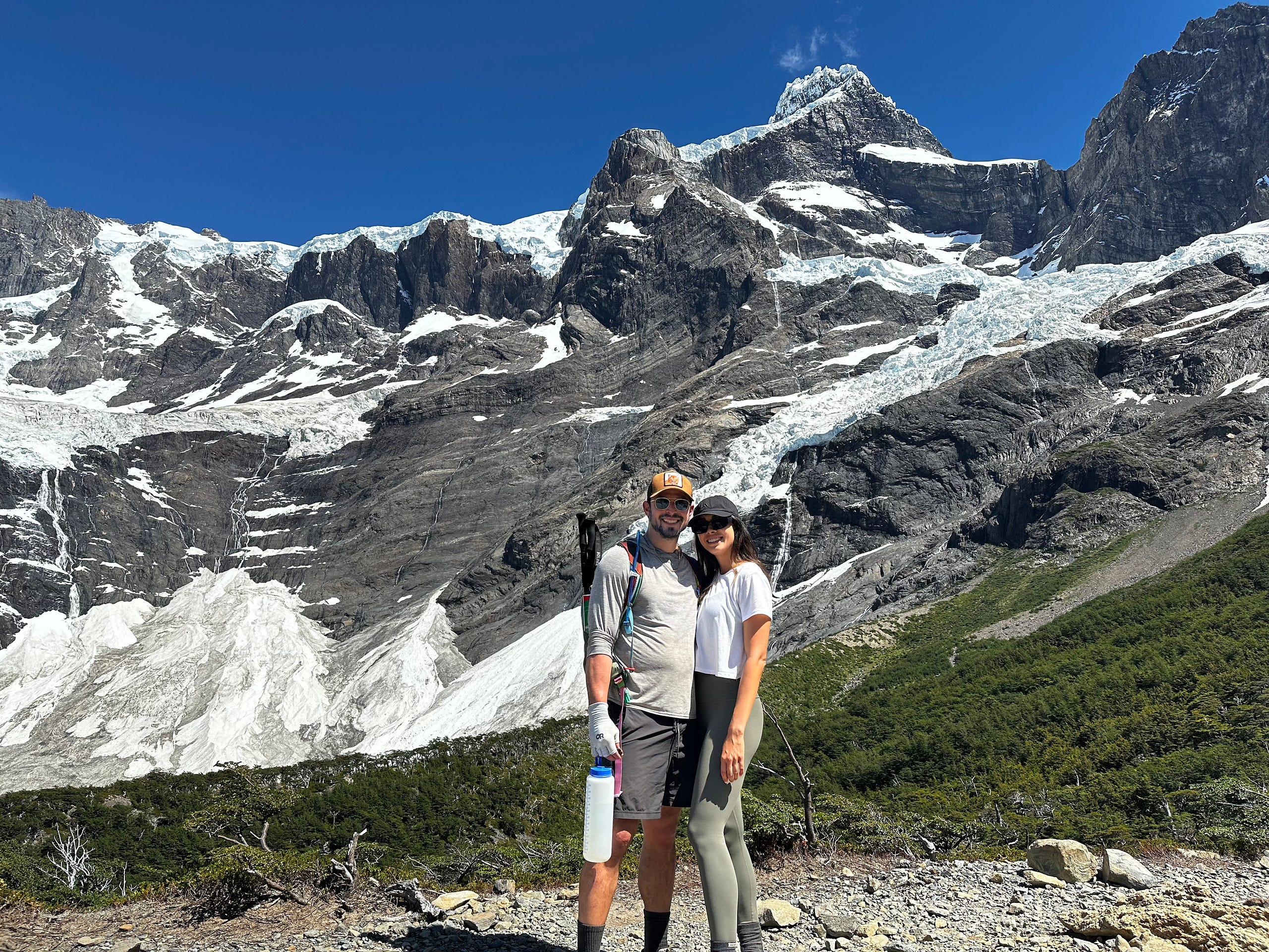
We decided again that we would veer off trail a bit so we find a space to eat with some privacy along the creek. We found an absolutely beautiful spot with nobody around, crazy views, and the creek running right in front. We were stoked to have this little spot for ourselves and we enjoyed it for an hour or so before turning back.
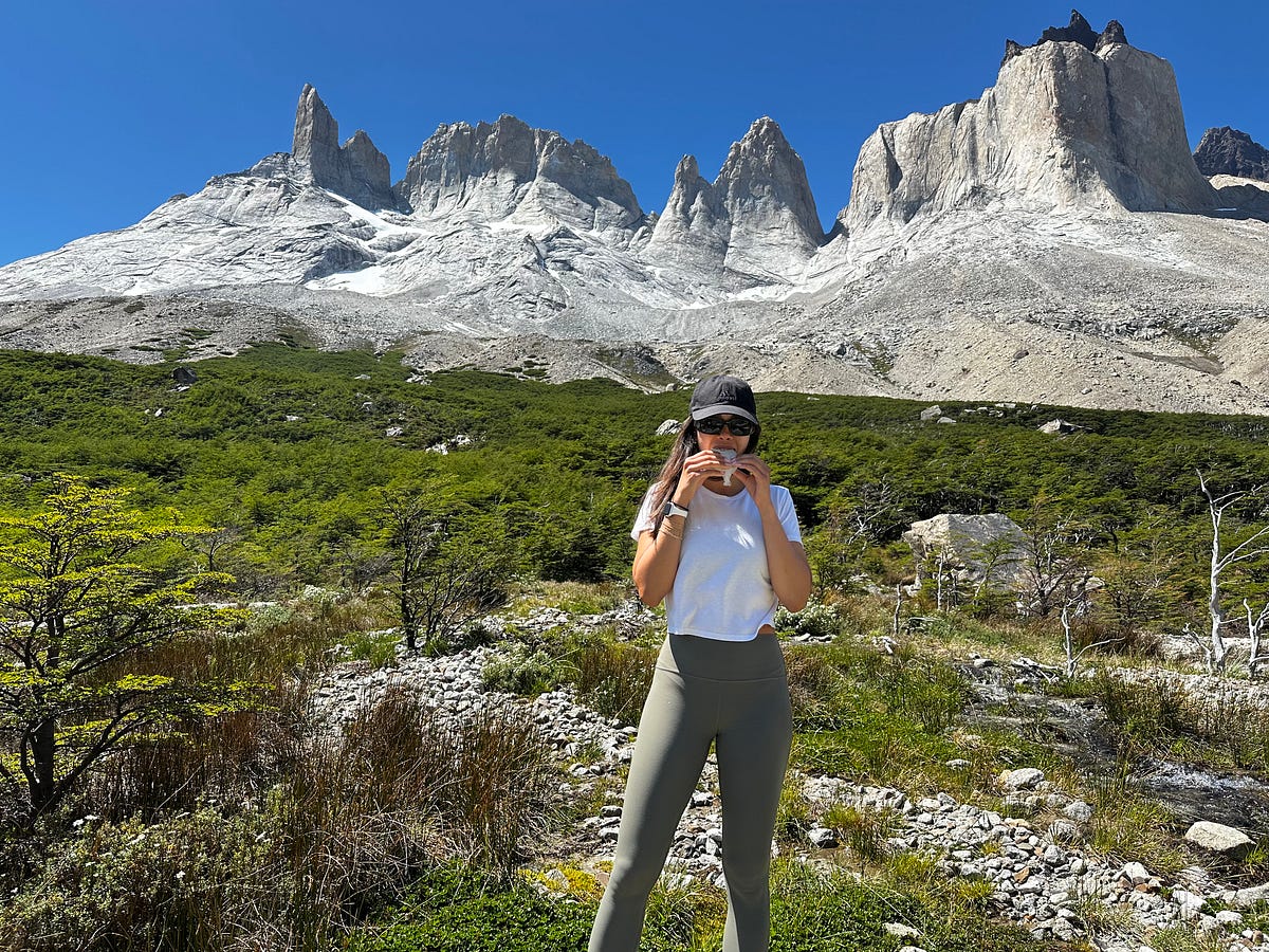
The hike from our lunch spot in Britanico to where we would spend the night at Paine Grande was long, about 8 miles after already doing 6 with almost 3k feet of gain. We took another break when we got our 65L bag back at Italiano and then pushed on. It was hot and the scenery — in my opinion — wasn’t nearly as good as what we had seen up to this point, mainly due to the massive burn scar that covers multiple miles on the trail.
As we approached Paine Grande, both Ariel and I were the most tired that we had been up to this point and so while i handled the check-in, Ariel immediately went to the bar and got us aperol spritzes which always provide instant happiness. I also want to make a point about how proud I was of Ariel as we made our final approach because today was definitely not an easy hike for anyone, especially those that are not used to long distances with weight on their back. 14.5 miles in a day with 3k of gain is certainly a big day in anybody’s book and she did it all (mostly) with a smile on her face. Proud boyfriend here.
Paine Grande is an enormous Refugio that resembles a hotel more than a trekking camp. When you book in Paine Grande, you can either book a tent or a dorm room that you share with 4 other people. Honestly, we were lucky with our other bunkmates as they were all nice and tidy people and it didnt bother Ariel too much, but i personally like my privacy and would have booked a tent if i re-did this (Ariel still vehemently disagrees). Similar to all other afternoons at refugios, we spent the late afternoon and evening showering, having drinks, chatting with other trekkers, and eating food.
Day 30: The W-Trek Day 4 — Paine Grande to Refugio Grey
We knew today would be an easier day compared to yesterday so again we were in no rush getting going in the morning. It was shaping up to be another beautiful day weather-wise which we wanted to enjoy to the fullest before the rains which were anticipated to start the following day.
We got our first views of Glacier Grey around 11:30am and like always we peeled off the trail to get some privacy and eat lunch with a view of the glacier. It really is an unbelievable sight seeing an absolutely massive river of ice that makes boats look like ants.
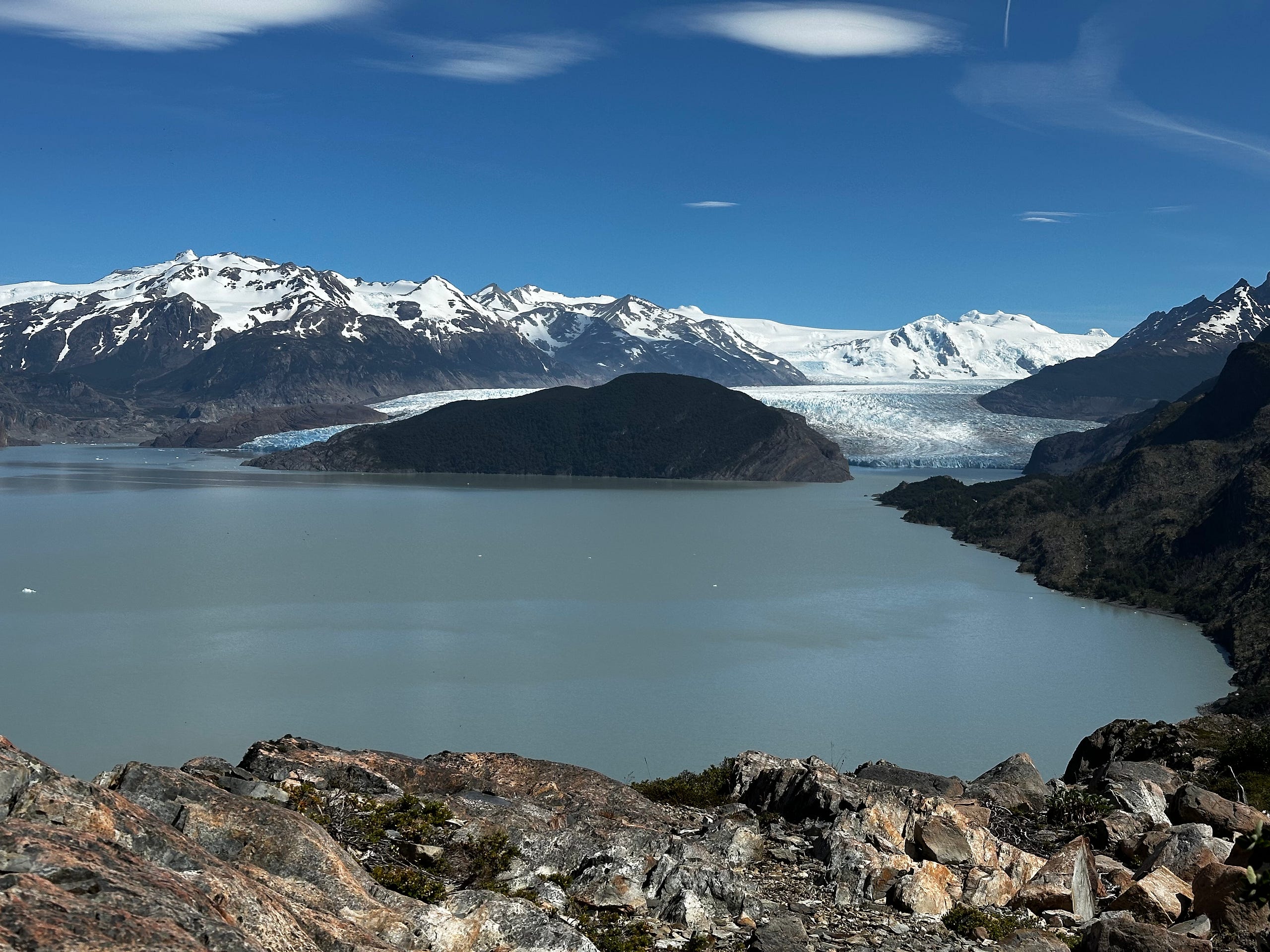
We continued on at a leisurely pace and got to Refugio Grey after 7 miles and 2.5 hours of hiking. Our accommodations this time were a ground-tent that was already set up for us, which was great but Ariel didnt love it due to bugs and the rain made it a bit tedious to organize. We had passed a guide during our hike who recommended we do a kayak tour if they still had some spots, so after Ariel and I checked in and found our tent, we walked down to the outfitter who said we could join the late afternoon tour which we were thrilled about. Doing an activity that was not hiking seemed like something we needed to do and it was nice to be able to get a closer look at the glacier from kayak.
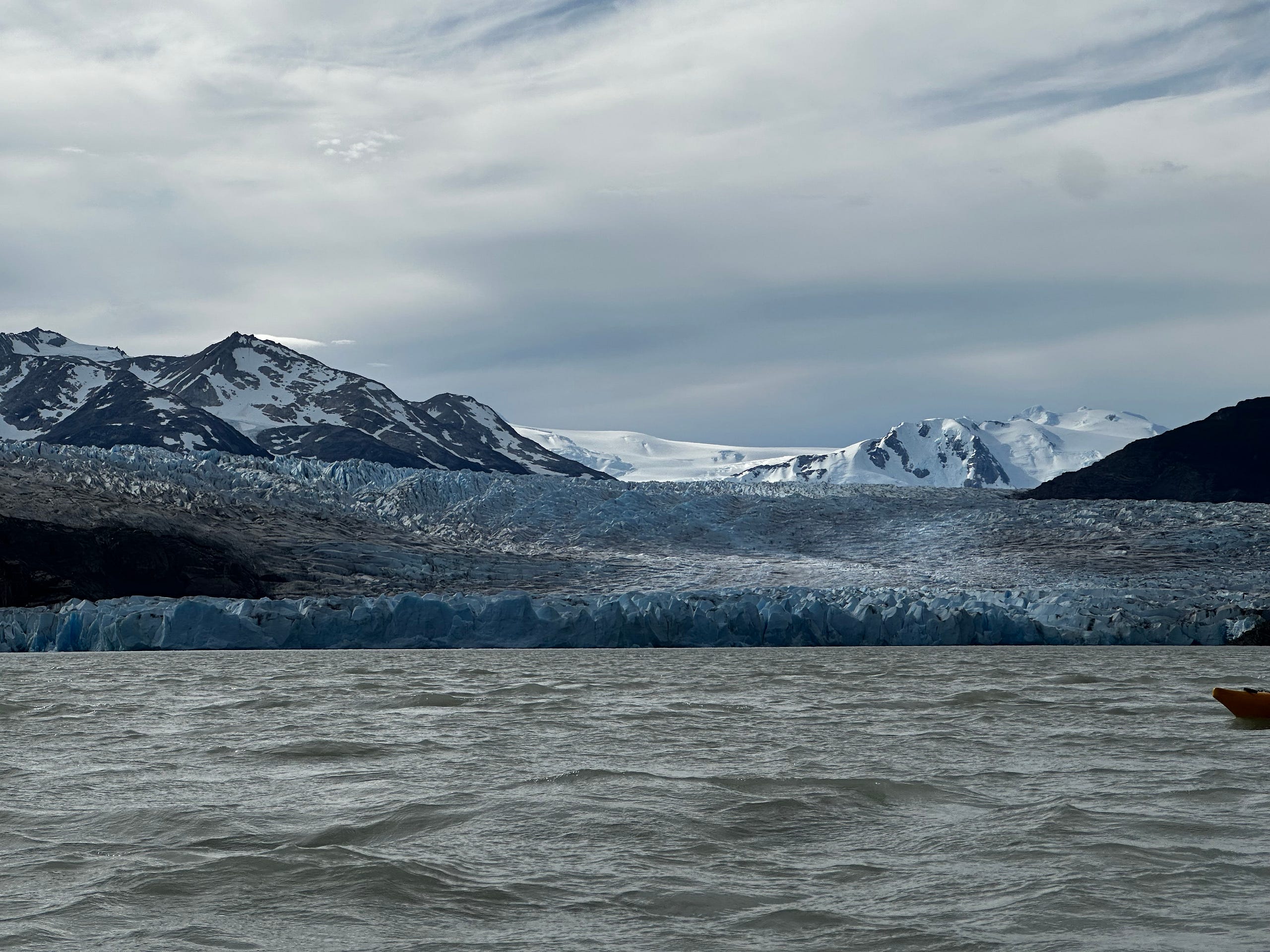
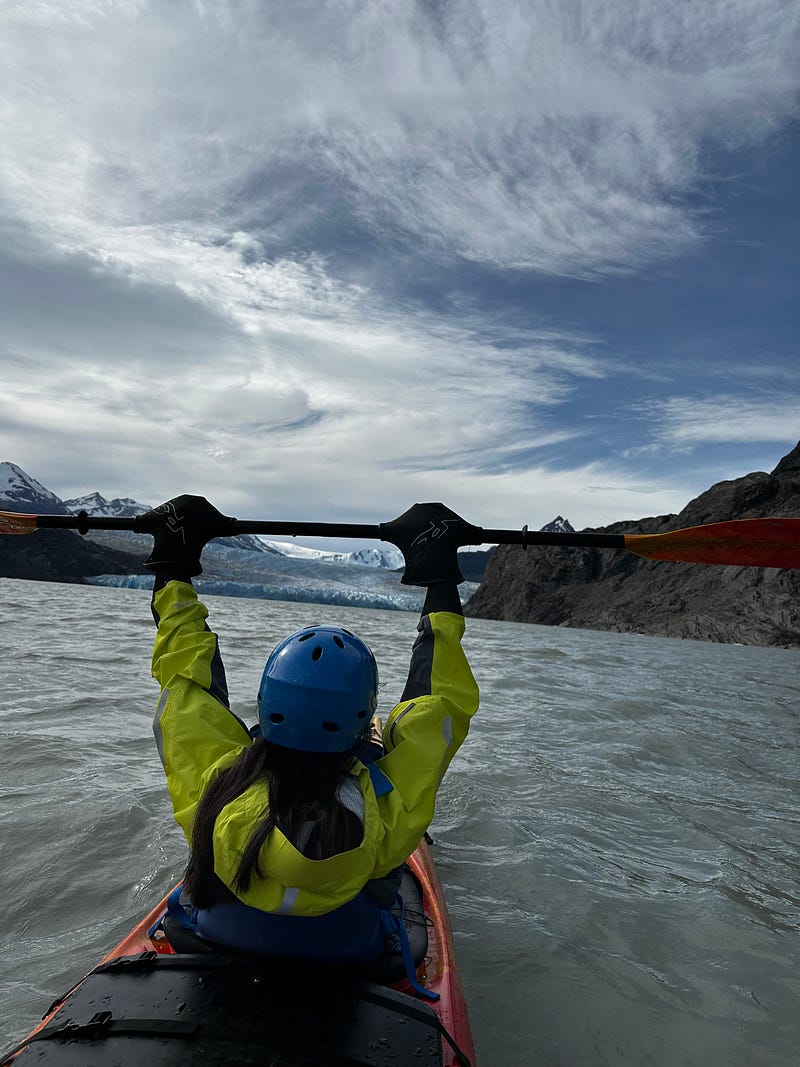
The kayak tour was nice and although I would have preferred to get closer to the glacier, it was nice to be on the water and mess around with Ariel. A funny moment from this night is that the helmet that the kayak company gave me must have stunk or something because after that kayak tour my head was getting swarmed by flies which was pretty gross. After showering it was fine but i was not happy for a little bit of time. We spent the rest of the evening eating dinner and hanging out with our friend Digo, who we had befriended by feeding painkillers to since his knee had given out way back around Cuernos.
Day 31: The W-Trek Day 5— Refugio Grey back to Paine Grande + the journey back to Puerto Natales
This was going to be a long day and was also our first day on the trek without sunny, blue skies. There was a break in the rain when we started our hike back to Paine Grande, but the last 2 miles or so it rained hard and we were decently wet when rolling into the Paine Grande cafeteria. We had a lot of time to kill before our ferry ride so we did what we always did which was have a few drinks, snack, and hang out. Nonetheless, I was really proud of Ariel on this day as she had completed her first trek of 50 miles in 5 days which is no easy feat. When we included our time in El Chalten, this number pushed to 70 miles in 8 days which is even more impressive.
The ferry ride back was not too long but it was raining and thus everyone tried to squeeze below deck making it very cramped. After the ferry landed we had more time to kill at a cafe before the busses that were to shuttle us back to Puerto Natales arrived. This was a bit chaotic as we didnt get back to the bus station in Puerto Natales until 9pm or so and by that time the cabs were few and far between to take us to our hotel. Regardless, we made it back and our bags were already placed in our room. We were exhausted and quickly reorganized our bags for tomorrows travels to the airport, where we would sadly begin our travels back to Los Angeles.
Day 32: The jouney back to Los Angeles
Nothing really to reflect on here. It was New Years Eve and we had an early flight in Puerto Natales to Santiago that got delayed a bit but posed no problems since our layover in Santiago was going to be multiple hours to begin with.
When we landed we considered going to a restaurant in town to kill time and enjoy a NYE dinner, but learned that most restaurants are closed in Santiago on NYE so in that case we decided we would do a tour of food establishments in the Santiago airport. We had Mcdonalds, California Pizza Kitchen, and some other place i cant remember where we were reminded that Chilean food lacks salt for some reason (even the McDonalds).
We went to our gate early and given that our flight was just after midnight, the gate and flight crew did a NYE countdown for everyone which was nice. We then boarded the flight and just like that, my month long adventure in Patagonia came to an end.