Mt. Langley — Inyo NF — August 2024
One big day on Langley: a training-run summit push with big mileage and bigger views.
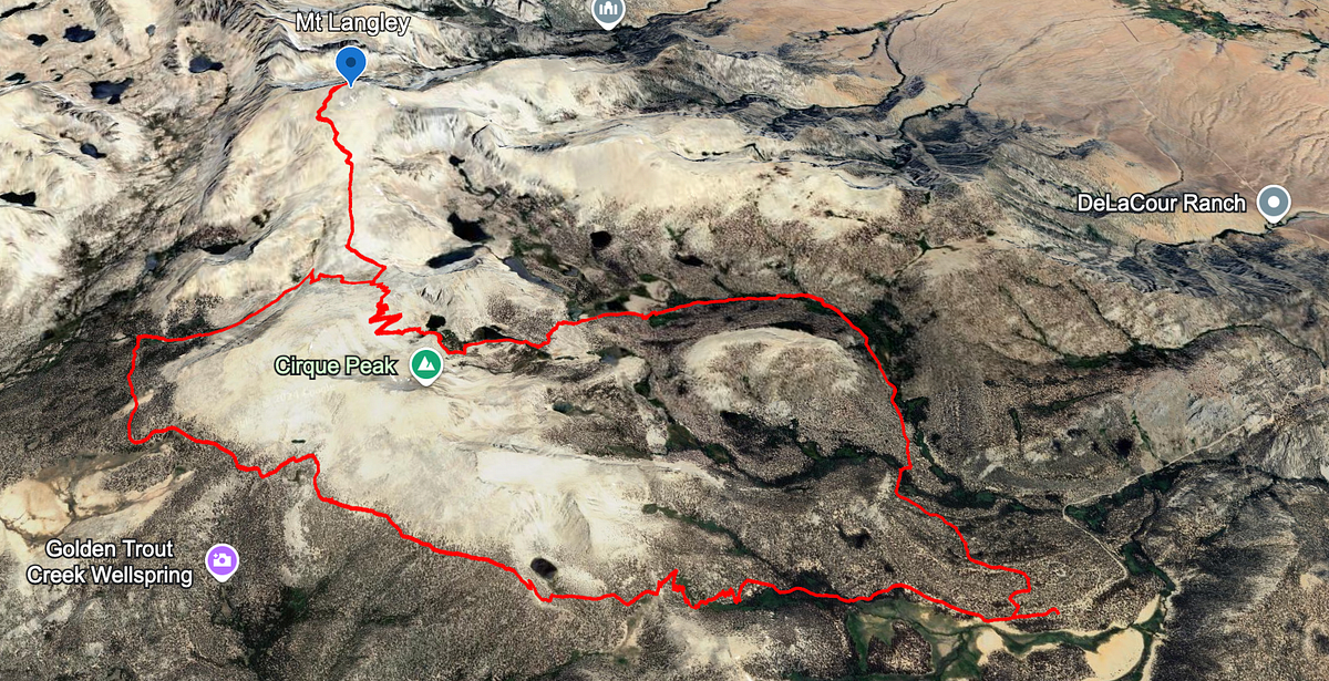
My friend Eli was training for the Moab 240 and asked me for a suggestion on a long-distance single-day summit hike. Hitting the Langley summit fit the bill perfectly and had always been high on my list so we put it on the calendar. Langley is a very popular summit because it is fully trailed, has a relatively easy permit to procure (Horseshoe Meadow), and is very accessible from Southern CA. It also has a beautiful approach and summit, making it popular not only with ultramarathon runners but backpackers as well.
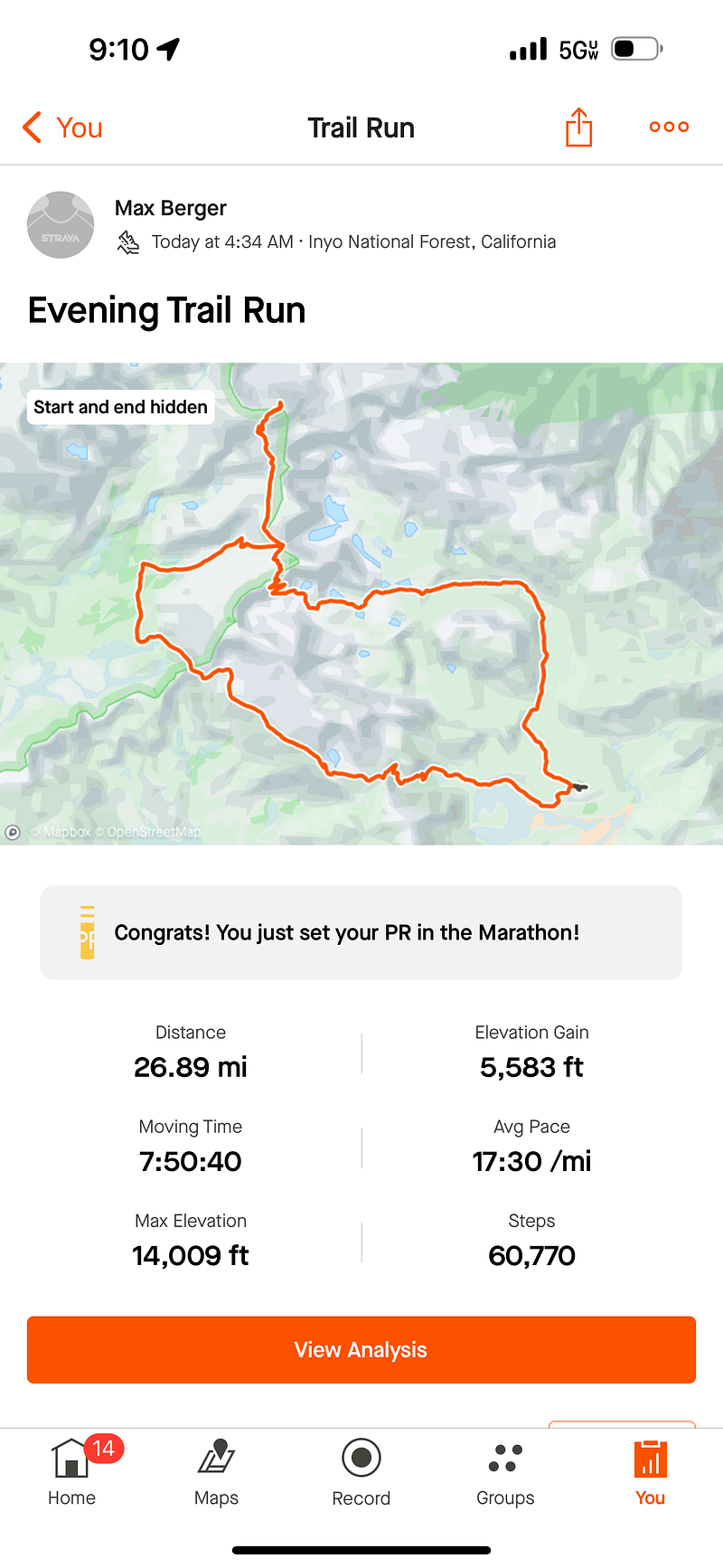
There are multiple ways you can approach the summit and given Eli’s training regiment, we chose the route with the most mileage. The 26ish mile loop starts with Horseshoe meadow and heads over Cottonwood Pass to the PCT, summits, and then returns via the Cottonwood Lakes trail. With regards to general logistics, we were advised by an All Trails review to do the loop this way (counter clockwise) and after doing it we could not agree more. I will touch more on this later, but you 100% want to be going down Cottonwood Lakes in the afternoon as this is the most beautiful part of the trail and it shines in the afternoon light.
Eli and I drove up after work on Friday and camped in my trailer at Horseshoe Meadow next to the trailhead. Alarms rang at 4:00am and after a bowl of oatmeal for each we were on the trail at 4:35am.
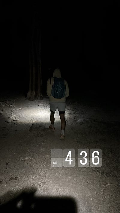
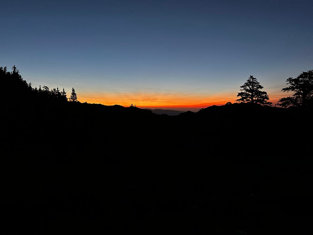
Headlamp start in the dark and the first sunrise glow on the climb toward Cottonwood Pass
Although the trailhead is at about 10,000 feet, we were comfortable hiking in shorts and very light sweaters from the outset. In the beginning you meander through horse trails and past a few watering holes before you immediately start climbing Cottonwood Pass (~11,150ft). The sun started to peak through with a gorgeous shade of orange at about 5:45am and at that time we were cruising to the top of the pass. We made it to the top at about 6:45am and basked in the golden hour light and beautiful view westward into the Kern River drainage where we snacked on sandwiches and hydration tablet water.
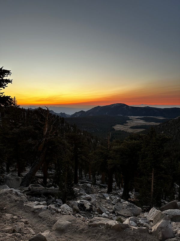
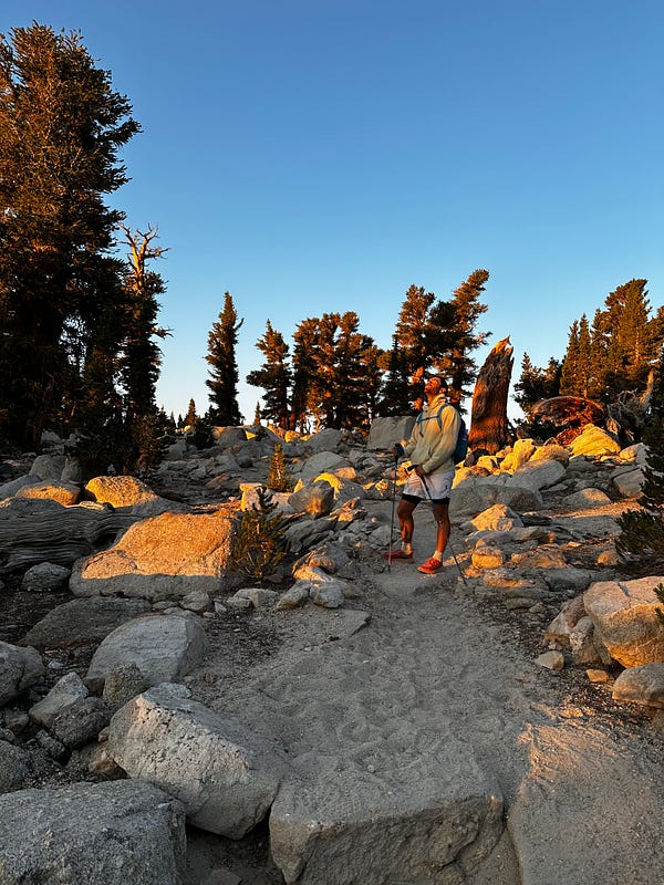
Golden-hour light over the Kern drainage from Cottonwood Pass, and Eli on the rocky trail
From here we rode northbound on the PCT and it wasn’t before long that we started to have our first views of Langley. We turned east *at the first turnoff* which was another great piece of advice from an All Trails reviewer towards the Langley ridge and made it up this climb smoothly. Now at about 12,200 feet, we made it to the flat ridge by both New and Old Army Pass and marched towards the summit for a bit.
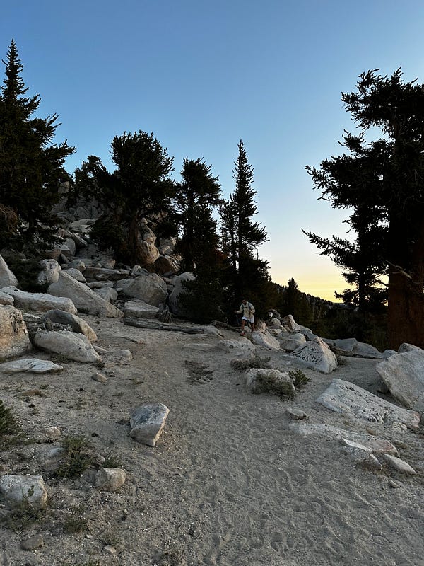
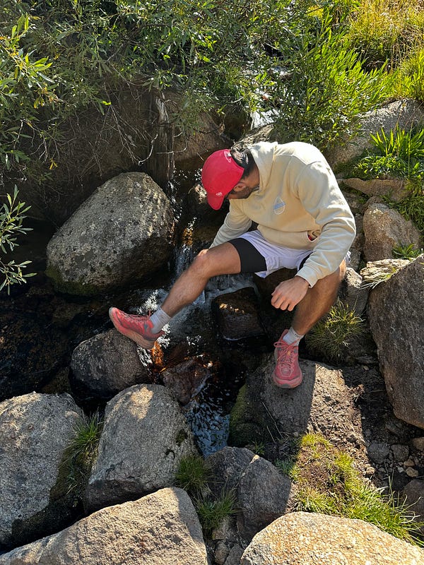
Working up the sandy trail through the foxtail pines on the way up Mt. Langley, and grabbing water at a creek crossing
Now at the foot of the final push, this is where the climb becomes difficult for those that are not either 1) acclimated to the elevation or 2) in marathon shape. The trail serves up the final 2000 feet of elevation gain in a pretty steep 2 miles. 2000 feet in 2 miles is already pretty brutal (it was the second 2000ft + 2-mile climb of the morning), but making in on soft sand is grounds cruel and unusual punishment. It was an all-around miserable experience in my opinion. It felt like two steps forward and one step back for two hours while you are unable to catch your breath due to the elevation (~12,500 to ~14500 feet). We made it to the summit at about 12:15pm, a bit under 8 hours of hiking. The summit is a fantastic view of the Owens Valley, Whitney Zone, and deep into Kings Canyon. We soaked in the view for a while before beginning our hike back to the car.
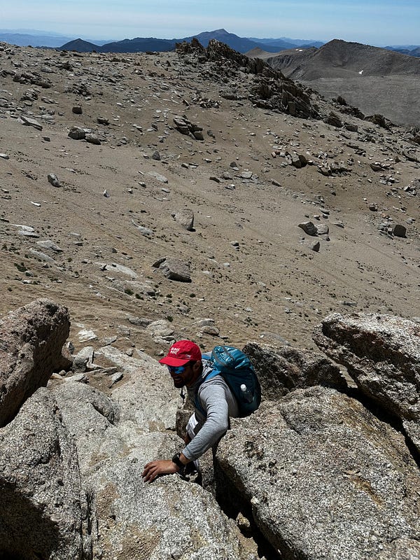
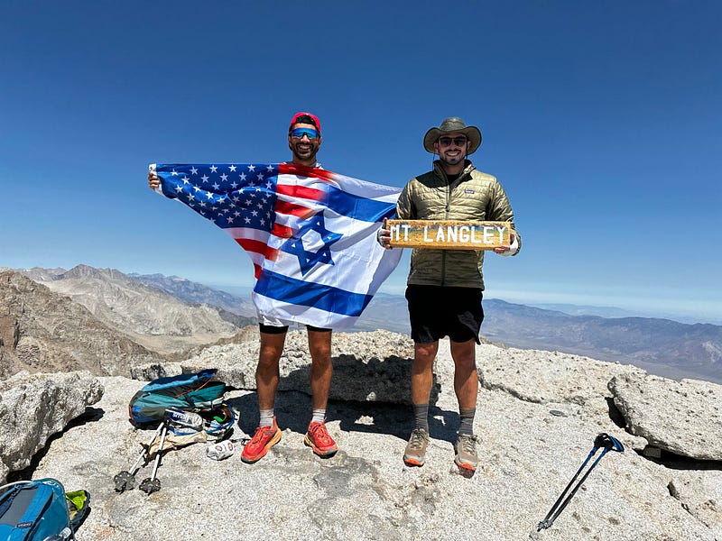
Eli on the final rocky push, and the two of us at the summit of Mt. Langley
Old Army Pass is faster but New Army Pass is safer and Eli insisted on reducing any risk so close to his race. Judging by our descent, New Army Pass is a beast of a climb, but after a few switchbacks we were basking in beautiful Cottonwood Lakes area at what seemed like the perfect time. The area is pristine high elevation lakes basin with not too many trees but enough foliage, boulders, and creeks to create a nature wonderland. Eli and I couldn’t wipe the smile off our faces as we enjoyed this part of the hike. To add to the fun, we ran into a family that was backpacking the summit over 2.5 days. One of the girls, whose name was Langley, was hiking with her parents to the summit for her birthday to recreate a photo that they had taken when she was a toddler. What an incredible experience for them!
The hike back to the car was nice but uneventful and forgettable given that we were now at 20+ miles in a single day. After about 12 hours and 27 miles (per Strava) with 5500 feet of elevation gain, we finally made it back to the car. Another epic trip in the Sierra.